Barnsclose Copse

Wood, Forest in Somerset Somerset West and Taunton

England

Barnsclose Copse

Field by Bulford crossroads On the southeast side of the junction shown at <a title="https://www.geograph.org.uk/search.php?i=143407630" href="https://www.geograph.org.uk/search.php?i=143407630">Link</a> . In the distance is the hilltop at Castle Neroche.
Field by Bulford crossroads Credit: Derek Harper

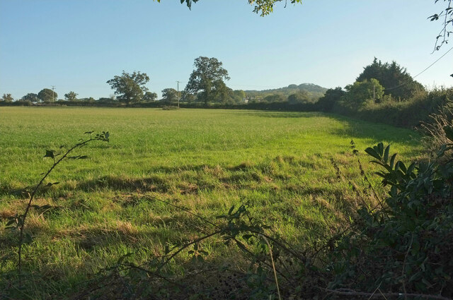
Barnsclose Copse is a picturesque woodland located in Somerset, England. Spanning over a vast area, this copse is known for its rich biodiversity and serene atmosphere. The copse is situated near the village of Barnsclose, hence the name.

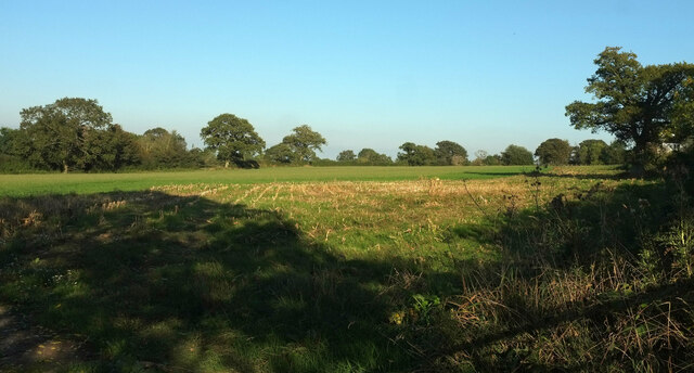
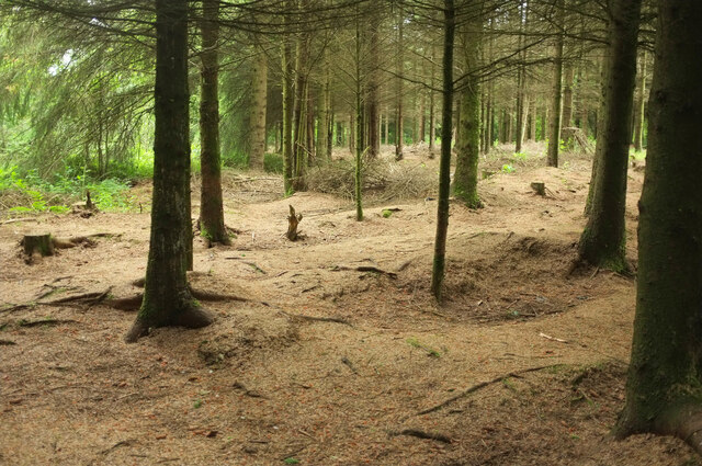
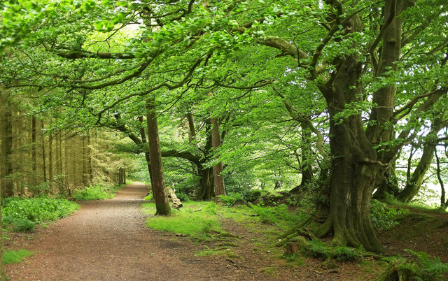
Covered in a dense canopy of trees, Barnsclose Copse is primarily composed of oak, beech, and ash trees. These towering giants create a cool and shaded environment, providing shelter to a wide range of flora and fauna. The forest floor is carpeted with an array of wildflowers, adding bursts of color to the landscape.

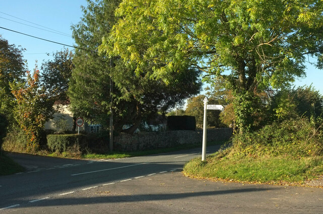
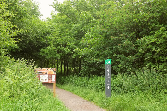
The copse is intersected by several narrow footpaths, allowing visitors to explore its beauty. The tranquility of the surroundings makes it an ideal place for leisurely walks and peaceful contemplation. As one strolls through the copse, they may stumble upon ancient stone walls and remnants of old farm buildings, offering glimpses into the area's history.

Barnsclose Copse is home to a diverse range of wildlife. It provides a habitat for numerous bird species, including woodpeckers, owls, and various songbirds. Squirrels and rabbits can often be spotted scurrying among the trees, while badgers and foxes make occasional appearances.

The copse is also a popular spot for nature enthusiasts and photographers, who come to capture its natural beauty. Its peaceful and serene atmosphere provides a perfect setting for those seeking solace in nature.

Overall, Barnsclose Copse is a stunning woodland that offers a tranquil escape from the hustle and bustle of everyday life. With its lush greenery, diverse wildlife, and rich history, it is a must-visit destination for nature lovers and those seeking a peaceful retreat.

If you have any feedback on the listing, please let us know in the comments section below.

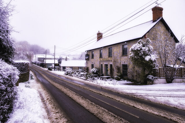
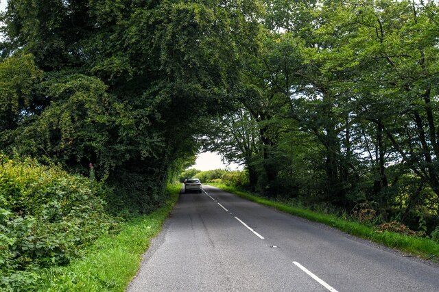
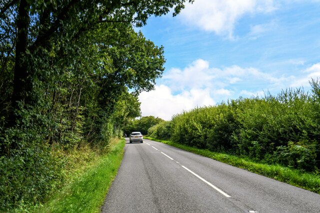
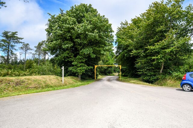
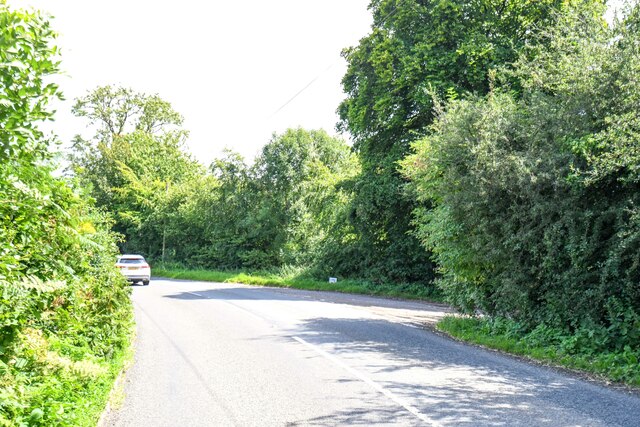
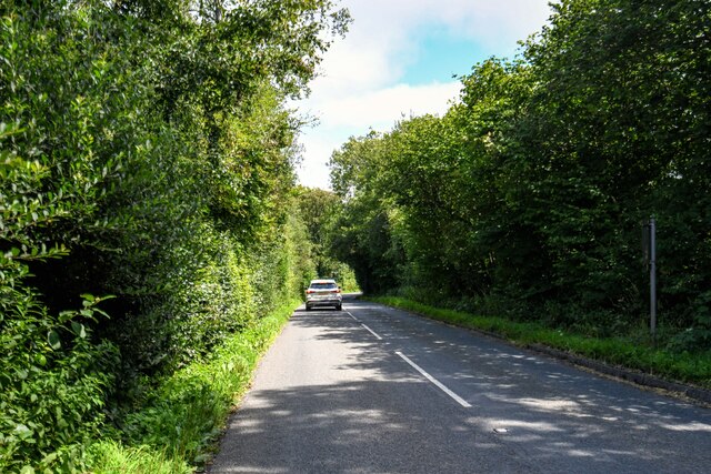
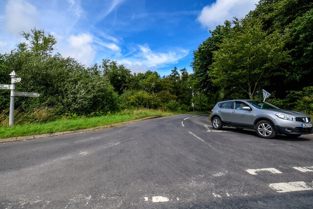
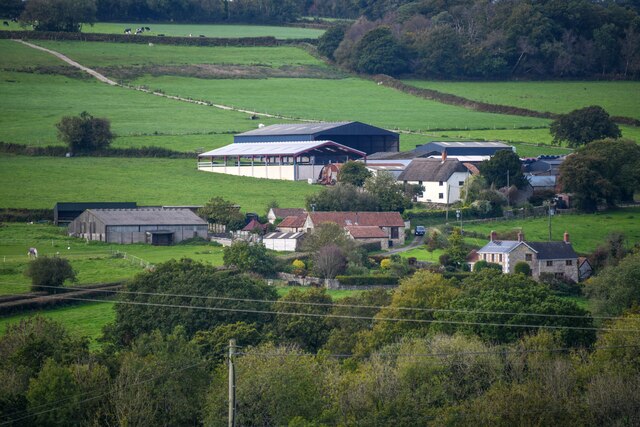
Barnsclose Copse Images

Images are sourced within 2km of 50.943976/-3.0531788 or Grid Reference ST2616. Thanks to Geograph Open Source API. All images are credited.

Field by Bulford crossroads On the southeast side of the junction shown at <a title="https://www.geograph.org.uk/search.php?i=143407630" href="https://www.geograph.org.uk/search.php?i=143407630">Link</a> . In the distance is the hilltop at Castle Neroche.
Field by Bulford crossroads
On the southeast side of the junction shown at Link . In the distance is the hilltop at Castle Neroche.
Field near Bulford From the crossroads shown in <a href="https://www.geograph.org.uk/photo/2354095">ST2617 : Turning for Curland and Bickenhall</a>.
Field near Bulford
From the crossroads shown in ST2617 : Turning for Curland and Bickenhall.
Start of Loop Walk, Staple Hill The signs have changed since <a href="https://www.geograph.org.uk/photo/4778373">ST2415 : Viewpoint walk on Staple Hill</a> was taken at the eastern corner of the car park. And it may have changed from midwinter to June, but it's steadily drizzling.
Start of Loop Walk, Staple Hill
The signs have changed since ST2415 : Viewpoint walk on Staple Hill was taken at the eastern corner of the car park. And it may have changed from midwinter to June, but it's steadily drizzling.
Conifers, Staple Hill Beside the Loop Walk at the Forestry England site.
Conifers, Staple Hill
Beside the Loop Walk at the Forestry England site.
Path, Staple Hill Broadleaves have been retained along the edge of the conifer plantation.
Path, Staple Hill
Broadleaves have been retained along the edge of the conifer plantation.
Horseshoe Cottage at Staple Fitzpaine Horseshoe Cottage at Mill Farm in Staple Fitzpaine was originally a stone built cow shed or grain store, associated with the now defunct Staple Mill. In 2019/20, two cottages (Primrose Cottage and Horseshoe Cottage) were converted into one. Therefore, Primrose Cottage no longer exists as an address, despite it still appearing on some maps and databases.
Horseshoe Cottage at Staple Fitzpaine
Horseshoe Cottage at Mill Farm in Staple Fitzpaine was originally a stone built cow shed or grain store, associated with the now defunct Staple Mill. In 2019/20, two cottages (Primrose Cottage and Horseshoe Cottage) were converted into one. Therefore, Primrose Cottage no longer exists as an address, despite it still appearing on some maps and databases.
The Old School in Staple Fitzpaine The Old School is opposite St Peter's Church. It is a private residence.
The Old School in Staple Fitzpaine
The Old School is opposite St Peter's Church. It is a private residence.
The Greyhound Inn Snow on the Greyhound Inn at Staple Fitzpaine in Taunton Deane, Somerset.
The Greyhound Inn
Snow on the Greyhound Inn at Staple Fitzpaine in Taunton Deane, Somerset.
Staple Fitzpaine : Neroche Road Looking along Neroche Road.
Staple Fitzpaine : Neroche Road
Looking along Neroche Road.
Staple Fitzpaine : Neroche Road Looking along Neroche Road.
Staple Fitzpaine : Neroche Road
Looking along Neroche Road.
Staple Fitzpaine : Car Park Entrance Looking towards the entrance to the car park.
Staple Fitzpaine : Car Park Entrance
Looking towards the entrance to the car park.
Staple Fitpaine : Castlemain Looking along the road.
Staple Fitpaine : Castlemain
Looking along the road.
Staple Fitpaine : Castlemain Looking along Castlemain.
Staple Fitpaine : Castlemain
Looking along Castlemain.
Curland : Road A road off Castlemain.
Curland : Road
A road off Castlemain.
Buckland St Mary : Countryside Scenery Looking towards Higher Blindmoor Farm.
Buckland St Mary : Countryside Scenery
Looking towards Higher Blindmoor Farm.
Buckland St Mary : Lower Blindmoor Seen from Pound Lane.
Buckland St Mary : Lower Blindmoor
Seen from Pound Lane.
Path junction, Staple Hill Plantations Amid alternating stands of broadleaves and conifers,
Path junction, Staple Hill Plantations
Amid alternating stands of broadleaves and conifers,
Show me another place!

Barnsclose Copse is located at Grid Ref: ST2616 (Lat: 50.943976, Lng: -3.0531788)

Administrative County: Somerset

District: Somerset West and Taunton

Police Authority: Avon and Somerset

What 3 Words

///ending.makeup.allies. Near Taunton, Somerset

Related Wikis

All Saints Church, Curland

All Saints Church is a former Church of England parish church in Curland, Somerset, England. Designed by Benjamin Ferrey, it was built in 1855–56 to replace...

Ruttersleigh

Ruttersleigh (grid reference ST250165) is a 97 hectares (240 acres) biological Site of Special Scientific Interest between Buckland St Mary and Staple...

Castle Neroche

Castle Neroche is a Norman motte-and-bailey castle on the site of an earlier hill fort in the parish of Curland, near Staple Fitzpaine, Somerset, England...

Curland

Curland is a village and civil parish in Somerset, England, situated 6 miles (9.7 km) south of Taunton. The village has a population of 225. The parish...

William Portman Almshouses

The William Portman Almshouses in Staple Fitzpaine, Somerset, England was built in 1643. It is a Grade II* listed building. == History == The almshouses...

Staple Fitzpaine

Staple Fitzpaine is a village and civil parish in Somerset, England, situated 5 miles (8.0 km) south of Taunton. The village has a population of 189 and...

Staple Hill (Somerset)

Staple Hill is a hill in the English county of Somerset, the highest point in the Blackdown Hills. It is classed as both a Marilyn and a Hardy.This is...

Bickenhall

Bickenhall is a hamlet and parish in Somerset, England, situated 5 miles (8.0 km) south east of Taunton. The parish, which includes the hamlet of Batten...

Have you been to Barnsclose Copse?

Leave your review of Barnsclose Copse below (or comments, questions and feedback).