Banks Wood

Wood, Forest in Lancashire South Lakeland

England

Banks Wood

Kirkby Pool
Kirkby Pool Credit: Adrian Taylor

Banks Wood is a picturesque forest located in the county of Lancashire, England. Covering an area of approximately 100 acres, this woodland is a haven for nature enthusiasts and outdoor lovers alike. Situated near the village of Banks, it offers a tranquil escape from the hustle and bustle of everyday life.

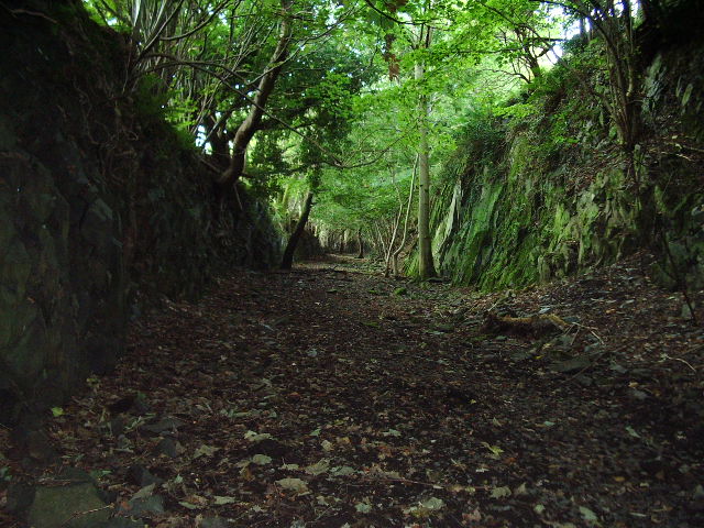
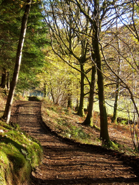
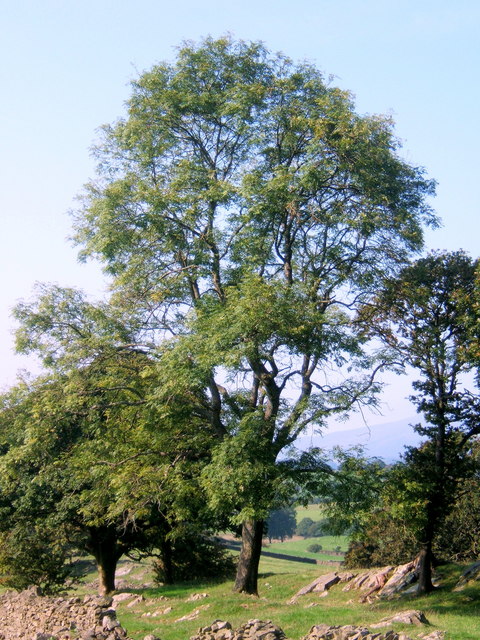
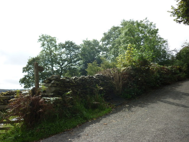
The wood is primarily composed of deciduous trees, including oak, beech, and ash, which create a lush and vibrant canopy during the warmer months. Blanketed with a carpet of wildflowers, the forest floor is a sight to behold, attracting a diverse range of flora and fauna.

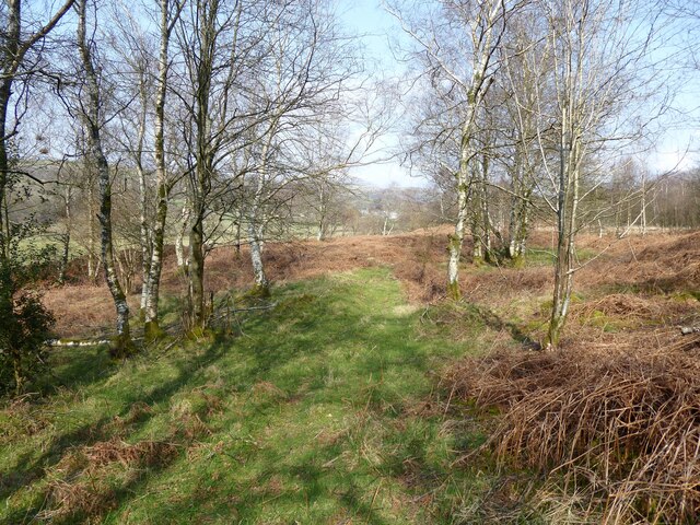
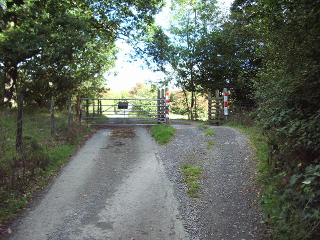
The wood is crisscrossed with a network of well-maintained footpaths, allowing visitors to explore its natural beauty at their own pace. These trails wind through ancient woodland, revealing hidden ponds, bubbling streams, and enchanting glades along the way. The gentle sound of birdsong fills the air, as the forest is home to a variety of avian species, including woodpeckers, warblers, and owls.

Banks Wood is a popular destination for families, walkers, and nature photographers. It provides the perfect opportunity for a leisurely stroll, a peaceful picnic, or simply a moment of tranquility surrounded by nature. Visitors are advised to bring sturdy footwear and a camera to capture the beauty of this woodland gem.

Overall, Banks Wood in Lancashire is a captivating and idyllic forest, offering a rich tapestry of natural wonders and a peaceful retreat for all who visit.

If you have any feedback on the listing, please let us know in the comments section below.
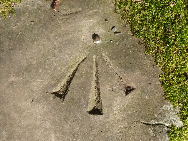
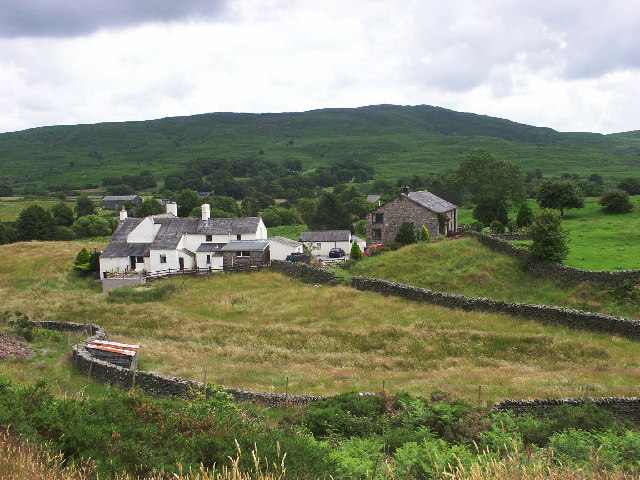
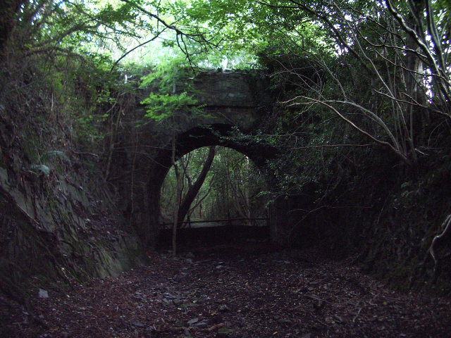
Banks Wood Images

Images are sourced within 2km of 54.310219/-3.1625079 or Grid Reference SD2491. Thanks to Geograph Open Source API. All images are credited.

Kirkby Pool
Kirkby Pool
Stile beside Buttstead Wood The public footpath from The Hill to Woodland crosses this stile adjacent to Buttstead Wood.
There is an Ordnance Survey rivet benchmark with cut mark on the bottom stone step of the stile (detail photograph <a href="https://www.geograph.org.uk/photo/7259390">SD2389 : Benchmark, Buttstead Wood</a>).
Stile beside Buttstead Wood
The public footpath from The Hill to Woodland crosses this stile adjacent to Buttstead Wood. There is an Ordnance Survey rivet benchmark with cut mark on the bottom stone step of the stile (detail photograph SD2389 : Benchmark, Buttstead Wood).
Benchmark, Buttstead Wood Detail of the Ordnance Survey rivet benchmark with cut mark on the horizontal bottom step of a public footpath stile adjacent to Buttstead Wood.  The benchmark marks a height of 8.6076m above mean sea level (Ordnance Datum Newlyn) last verified in 1954 (location photograph <a href="https://www.geograph.org.uk/photo/7259381">SD2389 : Stile beside Buttstead Wood</a>).
Benchmark, Buttstead Wood
Detail of the Ordnance Survey rivet benchmark with cut mark on the horizontal bottom step of a public footpath stile adjacent to Buttstead Wood. The benchmark marks a height of 8.6076m above mean sea level (Ordnance Datum Newlyn) last verified in 1954 (location photograph SD2389 : Stile beside Buttstead Wood).
Woodland path near Latter Rigg
Ringhouse Farm and Cottages, Lake District This is Ringhouse Farm and its associated cottages which are available for rent (google 'em for details). Ideally situated for access to the south lakes and beyond and plenty of walks from the farm if you don't feel like getting into the car.
Ringhouse Farm and Cottages, Lake District
This is Ringhouse Farm and its associated cottages which are available for rent (google 'em for details). Ideally situated for access to the south lakes and beyond and plenty of walks from the farm if you don't feel like getting into the car.
Road bridge This bridge spans the old Broughton-in-Furness to Coniston Railway about 2 miles NE of Broughton
Road bridge
This bridge spans the old Broughton-in-Furness to Coniston Railway about 2 miles NE of Broughton
Dismantled railway Looking SE towards Broughton-in-Furness along the old Broughton-in-Furness to Coniston Railway
Dismantled railway
Looking SE towards Broughton-in-Furness along the old Broughton-in-Furness to Coniston Railway
Barriers Gate and Cattle Grid across the road to Hawes Farm
Barriers
Gate and Cattle Grid across the road to Hawes Farm
Track through the woods heading for Green Moor
Fine trees on meadowland near Green Moor
Sunbeam catching bracken fronds An unusually shady spot for bracken, on the woodland side of the wall.
Sunbeam catching bracken fronds
An unusually shady spot for bracken, on the woodland side of the wall.
Fungi near the woodland track to Green Moor A Geograph member has contacted suggesting an identification - sulphur tufts (Hypholoma fasciculare).
Fungi near the woodland track to Green Moor
A Geograph member has contacted suggesting an identification - sulphur tufts (Hypholoma fasciculare).
Clapper bridge over Green Moor Beck This bridge carries a bridleway from Woodland over Woodland Fell and ultimately to Blawith in the Crake Valley. Probably part of a very ancient trackway.
Clapper bridge over Green Moor Beck
This bridge carries a bridleway from Woodland over Woodland Fell and ultimately to Blawith in the Crake Valley. Probably part of a very ancient trackway.
Ringhouse Farm
Ringhouse Farm
Footpaths at Tomsteads
Ruins in Buttstead Wood
A path leading to Buttstead Wood
Approaching Ringhouse Farm The footpath from Thornthwaite/Woodland Hall is quite vague on the ground and we lost the line in a couple of places. Beyond the cottages are Caw and the Coniston fells, Dow Crag and Coniston Old Man.
Approaching Ringhouse Farm
The footpath from Thornthwaite/Woodland Hall is quite vague on the ground and we lost the line in a couple of places. Beyond the cottages are Caw and the Coniston fells, Dow Crag and Coniston Old Man.
Show me another place!

Banks Wood is located at Grid Ref: SD2491 (Lat: 54.310219, Lng: -3.1625079)

Administrative County: Cumbria

District: South Lakeland

Police Authority: Cumbria

What 3 Words

///muddy.racks.squeaking. Near Millom, Cumbria

Related Wikis

Woodland railway station

Woodland railway station served the hamlet of Woodland, in Lancashire, England (now in Cumbria). It was on the branch line to Coniston. == History == Authorised...

Rosthwaite, Broughton West

Rosthwaite is a settlement in the Broughton West civil parish of Westmorland and Furness, Cumbria England. It is part of the Lake District, 3 miles (4...

Broughton West

Broughton West is a civil parish in the Westmorland and Furness district of Cumbria, England. In the 2001 census the parish had a population of 954, decreasing...

Woodland, Cumbria

Woodland is a dispersed hamlet within the civil parish of Kirkby Ireleth in the Furness region of Cumbria, England, and is located in the southern part...

St John the Evangelist's Church, Woodland

St John the Evangelist's Church is in the hamlet of Woodland, about 4 kilometres (2 mi) to the northeast of Broughton-in-Furness, Cumbria, England. It...

Blacksmiths Arms, Broughton Mills

The Blacksmiths Arms is a Grade II listed public house at Broughton Mills, Cumbria, England.It is on the Campaign for Real Ale's National Inventory of...

Broughton Mills

Broughton Mills is a village in Cumbria, England, located 3.5 kilometres from the larger town of Broughton-in-furness. The village consists of about 40...

Blawith Knott

Blawith Knott is a hill in the south of the English Lake District, near Woodland, Cumbria. It is the subject of a chapter of Wainwright's book The Outlying...

Nearby Amenities

Located within 500m of 54.310219,-3.1625079
Barrier: stile
Stile: squeezer
Lat/Long: 54.3090645/-3.1620233
Barrier: stile
Lat/Long: 54.3091982/-3.1653771
Barrier: stile
Lat/Long: 54.3088468/-3.1638429
Woodland Grove
Place: locality
Lat/Long: 54.3076702/-3.1567767
Power: pole
Lat/Long: 54.3064394/-3.1649186
Power: pole
Lat/Long: 54.3071245/-3.1636929
Power: pole
Lat/Long: 54.3074779/-3.1626942
Power: pole
Lat/Long: 54.3078209/-3.1617261
Power: pole
Lat/Long: 54.3083659/-3.1601508
Power: pole
Lat/Long: 54.3088715/-3.158722
Power: pole
Lat/Long: 54.3092803/-3.1575864
Power: pole
Lat/Long: 54.3096046/-3.1566007
Power: pole
Lat/Long: 54.3100894/-3.1551268
Power: pole
Lat/Long: 54.3098526/-3.1567778
Power: pole
Lat/Long: 54.3101806/-3.1580455
Power: pole
Lat/Long: 54.3091337/-3.1561947
Power: pole
Lat/Long: 54.3086535/-3.1558066
Power: pole
Lat/Long: 54.3080257/-3.1570533
Power: pole
Lat/Long: 54.3102332/-3.1689002
Power: pole
Lat/Long: 54.3097081/-3.167637
Power: pole
Lat/Long: 54.3090668/-3.1660867
Power: pole
Lat/Long: 54.3081008/-3.1648343
Power: pole
Lat/Long: 54.3077386/-3.1644106
The data included in this document is from www.openstreetmap.org. The data is made available under ODbL.

Have you been to Banks Wood?

Leave your review of Banks Wood below (or comments, questions and feedback).