Bracelet Moor
Downs, Moorland in Lancashire South Lakeland
England
Bracelet Moor
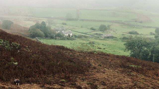
Bracelet Moor is a picturesque area located in Lancashire, England. Known for its stunning downs and moorland, it offers visitors a unique and diverse natural landscape to explore. Spanning an area of approximately 500 acres, Bracelet Moor is a popular destination for outdoor enthusiasts and nature lovers.
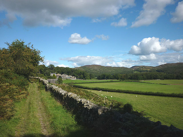
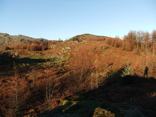
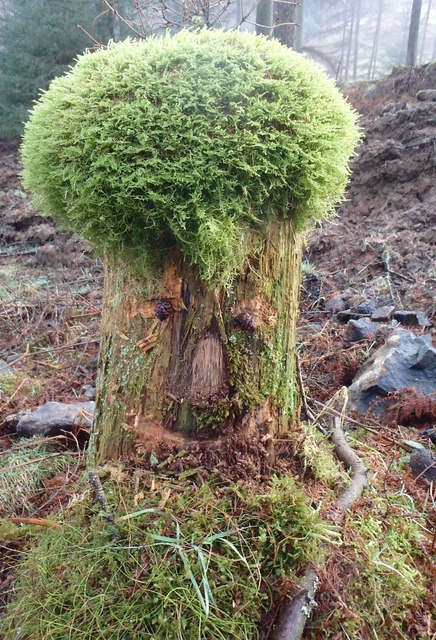
The moorland in Bracelet Moor is characterized by its wide expanses of heather-covered hills and valleys. The vibrant purple hues of the heather create a breathtaking sight, particularly during the summer months when they are in full bloom. The moorland is also home to a variety of wildlife, including grouse, curlews, and hares, making it a haven for birdwatchers and wildlife enthusiasts.
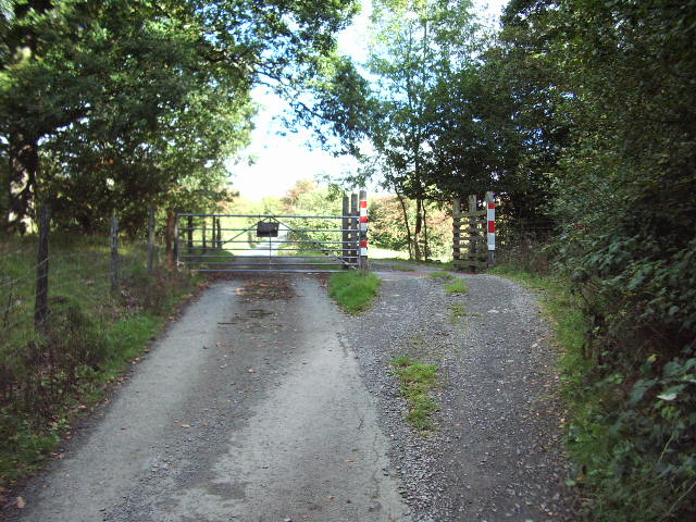
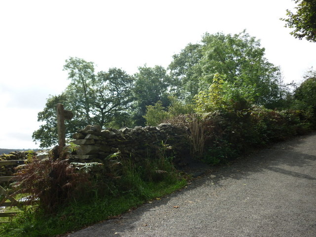
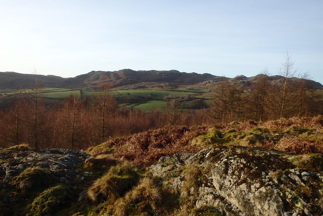
Beyond the moorland, Bracelet Moor boasts beautiful downs, rolling hills that offer stunning panoramic views of the surrounding countryside. These downs are a paradise for hikers and walkers, with numerous trails and paths winding through the area. Visitors can enjoy leisurely strolls or more challenging hikes, taking in the fresh air and stunning vistas along the way.
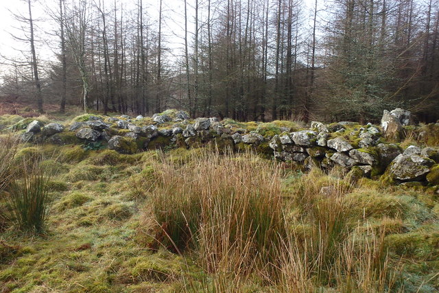
Bracelet Moor is also steeped in history, with archaeological remains scattered throughout the area. Ancient cairns, stone circles, and burial mounds provide a glimpse into the lives of the people who once inhabited this land. Archaeologists have uncovered artifacts dating back thousands of years, adding to the significance and intrigue of the area.
In conclusion, Bracelet Moor in Lancashire offers visitors a captivating blend of moorland, downs, and rich history. With its stunning natural beauty and diverse wildlife, it is a must-visit destination for those seeking a true outdoor adventure.
If you have any feedback on the listing, please let us know in the comments section below.
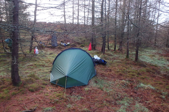
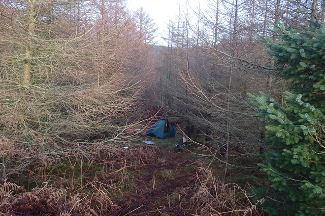
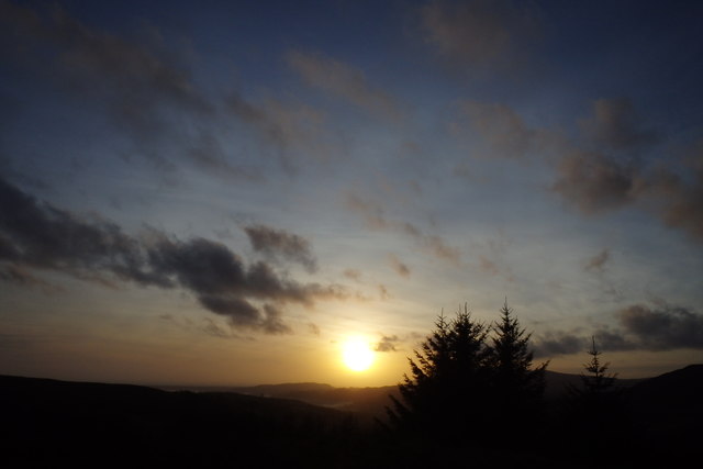
Bracelet Moor Images
Images are sourced within 2km of 54.313655/-3.1640805 or Grid Reference SD2491. Thanks to Geograph Open Source API. All images are credited.


Bracelet Moor is located at Grid Ref: SD2491 (Lat: 54.313655, Lng: -3.1640805)
Administrative County: Cumbria
District: South Lakeland
Police Authority: Cumbria
What 3 Words
///tailors.flickers.revealing. Near Millom, Cumbria
Nearby Locations
Related Wikis

Woodland railway station
Woodland railway station served the hamlet of Woodland, in Lancashire, England (now in Cumbria). It was on the branch line to Coniston. == History == Authorised...

Rosthwaite, Broughton West
Rosthwaite is a settlement in the Broughton West civil parish of Westmorland and Furness, Cumbria England. It is part of the Lake District, 3 miles (4...

Broughton West
Broughton West is a civil parish in the Westmorland and Furness district of Cumbria, England. In the 2001 census the parish had a population of 954, decreasing...

Blacksmiths Arms, Broughton Mills
The Blacksmiths Arms is a Grade II listed public house at Broughton Mills, Cumbria, England.It is on the Campaign for Real Ale's National Inventory of...

Woodland, Cumbria
Woodland is a dispersed hamlet within the civil parish of Kirkby Ireleth in the Furness region of Cumbria, England, and is located in the southern part...

St John the Evangelist's Church, Woodland
St John the Evangelist's Church is in the hamlet of Woodland, about 4 kilometres (2 mi) to the northeast of Broughton-in-Furness, Cumbria, England. It...
Broughton Mills
Broughton Mills is a village in Cumbria, England, located 3.5 kilometres from the larger town of Broughton-in-furness. The village consists of about 40...

Caw (hill)
Caw is a hill in Cumbria, England, near the village of Seathwaite above the Duddon Valley, reaching 1,735 feet (529 m) and having a trig point at the summit...
Nearby Amenities
Located within 500m of 54.313655,-3.1640805Have you been to Bracelet Moor?
Leave your review of Bracelet Moor below (or comments, questions and feedback).