Binsey Plantation

Wood, Forest in Cumberland Allerdale

England

Binsey Plantation

Track to the disused quarries
Track to the disused quarries Credit: David Brown

Binsey Plantation, located in Cumberland, England, is a picturesque woodland area renowned for its natural beauty and rich history. Covering an area of approximately 500 acres, the plantation is predominantly made up of oak, beech, and birch trees, creating a diverse and vibrant forest ecosystem.

The origins of Binsey Plantation can be traced back to the 18th century when it was established as a timber plantation by the local landowner. Over the years, the woodland has been carefully managed to promote sustainable forestry practices, ensuring the preservation of the area's biodiversity and providing a sustainable source of timber.

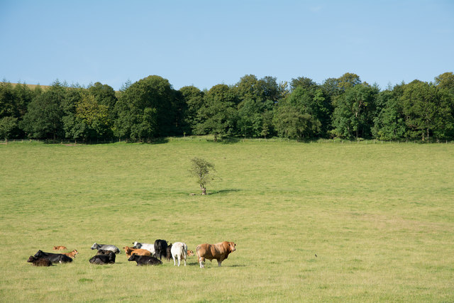
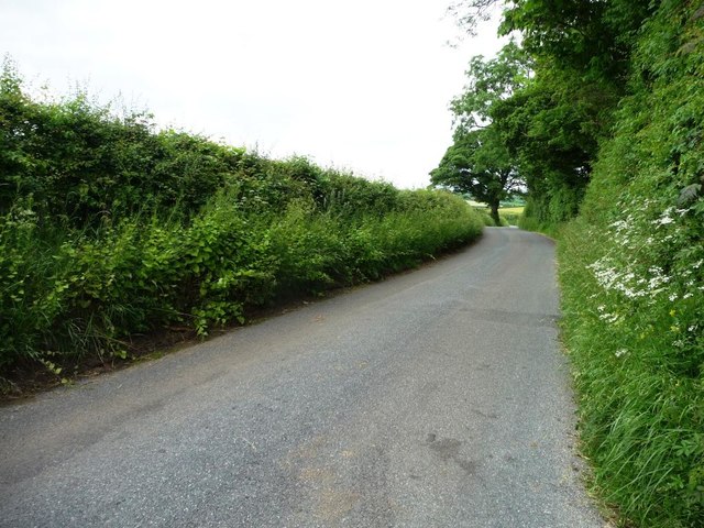
Visitors to Binsey Plantation can explore its numerous walking trails, which meander through the enchanting woodland and offer breathtaking views of the surrounding countryside. The plantation is also home to an abundance of wildlife, including deer, foxes, and a variety of bird species, making it a haven for nature enthusiasts and birdwatchers.

In addition to its natural beauty, Binsey Plantation holds historical significance. The site was once home to a medieval settlement, and remnants of ancient buildings and boundary walls can still be seen within the woodland. This rich history adds an intriguing element to the overall experience of exploring the plantation.

Overall, Binsey Plantation in Cumberland is a captivating and tranquil destination, offering visitors a chance to immerse themselves in the beauty of nature while appreciating its historical importance. Whether it is taking a leisurely walk, observing wildlife, or simply enjoying the peaceful ambiance, Binsey Plantation is a must-visit for those seeking a serene escape from the hustle and bustle of everyday life.

If you have any feedback on the listing, please let us know in the comments section below.

Binsey Plantation Images

Images are sourced within 2km of 54.719148/-3.1913221 or Grid Reference NY2336. Thanks to Geograph Open Source API. All images are credited.

Track to the disused quarries
Down the hill into Uldale
Threatening sky over the track by Scawthwaite Mire
The road by Marshall Cottage
Fell gate, Binsey
Fell gate, Binsey
Fellside Road
Fellside Road
Triangulation Pillar, Binsey The stone built Ordnance Survey triangulation pillar on the summit of Binsey. The village of Uldale is visible in the left background, the northern fells of the Lake District rise in the right background and the north Pennines form the far horizon.
The flush bracket benchmark number S5707 on the south-southwest face of the pillar marks a height of 447.446m above sea level (Ordnance Datum Newlyn) levelled in 1952 (detail photograph <a href="https://www.geograph.org.uk/photo/7584505">NY2235 : Benchmark, Binsey</a>).
The triangulation pillar is still in use as an Ordnance Survey passive GPS station.
Triangulation Pillar, Binsey
The stone built Ordnance Survey triangulation pillar on the summit of Binsey. The village of Uldale is visible in the left background, the northern fells of the Lake District rise in the right background and the north Pennines form the far horizon. The flush bracket benchmark number S5707 on the south-southwest face of the pillar marks a height of 447.446m above sea level (Ordnance Datum Newlyn) levelled in 1952 (detail photograph NY2235 : Benchmark, Binsey). The triangulation pillar is still in use as an Ordnance Survey passive GPS station.
Benchmark, Binsey Detail of Ordnance Survey flush bracket benchmark number S5707 on the south-southwest face of the triangulation pillar on the summit of Binsey.  The benchmark marks a height of 447.446m above mean sea level (Ordnance Datum Newlyn) levelled in June 1952 (location photograph <a href="https://www.geograph.org.uk/photo/7583609">NY2235 : Triangulation Pillar, Binsey</a>).
Benchmark, Binsey
Detail of Ordnance Survey flush bracket benchmark number S5707 on the south-southwest face of the triangulation pillar on the summit of Binsey. The benchmark marks a height of 447.446m above mean sea level (Ordnance Datum Newlyn) levelled in June 1952 (location photograph NY2235 : Triangulation Pillar, Binsey).
Direction Sign – Signpost near Uldale Located on the north side of a Y junction north of Whitefield Cottage in Ireby and Uldale parish. 3 arms and pawn finial. See also <a title="https://www.geograph.org.uk/photo/6578566" href="https://www.geograph.org.uk/photo/6578566">Link</a> and <span class="nowrap"><a title="http://www.geog.port.ac.uk/webmap/thelakes/photos/byh55.jpg" rel="nofollow ugc noopener" href="http://www.geog.port.ac.uk/webmap/thelakes/photos/byh55.jpg">Link</a><img style="margin-left:2px;" alt="External link" title="External link - shift click to open in new window" src="https://s1.geograph.org.uk/img/external.png" width="10" height="10"/></span>.

Milestone Society National ID: CU_NY2335
Direction Sign – Signpost near Uldale
Located on the north side of a Y junction north of Whitefield Cottage in Ireby and Uldale parish. 3 arms and pawn finial. See also Link and LinkExternal link. Milestone Society National ID: CU_NY2335
Latrigg This low hill is not the well known one of the same name rising just above Keswick but another further north and located just east from Binsey. Despite the roughly vegetated appearance, the ground is not classified as access land. The foreground lilac-flowered plants are creeping thistle - Cirsium arvense.
Latrigg
This low hill is not the well known one of the same name rising just above Keswick but another further north and located just east from Binsey. Despite the roughly vegetated appearance, the ground is not classified as access land. The foreground lilac-flowered plants are creeping thistle - Cirsium arvense.
Bridleway rising through avenue of trees The bridleway rises north-west from  a minor road. It climbs the slope between Binsey and the low hill, Latrigg - not the one close to Keswick.
Bridleway rising through avenue of trees
The bridleway rises north-west from a minor road. It climbs the slope between Binsey and the low hill, Latrigg - not the one close to Keswick.
Bracken of eastern slope of Binsey An area of bracken covers the lower eastern slope of Binsey through which passes a footpath; that path rising from near Binsey Lodge is the most usual approach for the ascent of the hill. The small lake in view is Overwater and the hills beyond include Knott.
Bracken of eastern slope of Binsey
An area of bracken covers the lower eastern slope of Binsey through which passes a footpath; that path rising from near Binsey Lodge is the most usual approach for the ascent of the hill. The small lake in view is Overwater and the hills beyond include Knott.
Summit area of Binsey In addition to the trig point and cairn there's a shelter at the summit of this hill from beside which the photograph was taken. The highest of the distant peaks is Knott; other hills of the 'Northern Fells' surround it.
Summit area of Binsey
In addition to the trig point and cairn there's a shelter at the summit of this hill from beside which the photograph was taken. The highest of the distant peaks is Knott; other hills of the 'Northern Fells' surround it.
Field with mown grass The field lies on the west side of the Ireby to Ruthwaite road.
Field with mown grass
The field lies on the west side of the Ireby to Ruthwaite road.
Cattle with bull in field The field lies to the west of the minor road south of Ruthwaite.
Cattle with bull in field
The field lies to the west of the minor road south of Ruthwaite.
Track to disused quarries, north of Uldale Now used to access fields. On the north side of the Uldale - Ireby road.
Track to disused quarries, north of Uldale
Now used to access fields. On the north side of the Uldale - Ireby road.
Farmland north of Uldale About 190 metres above sea level.
Farmland north of Uldale
About 190 metres above sea level.
The Uldale to Ireby road, alongside spring-fed trees Looking north-west.
The Uldale to Ireby road, alongside spring-fed trees
Looking north-west.
Show me another place!

Binsey Plantation is located at Grid Ref: NY2336 (Lat: 54.719148, Lng: -3.1913221)

Administrative County: Cumbria

District: Allerdale

Police Authority: Cumbria

What 3 Words

///pronouns.leans.widget. Near Aspatria, Cumbria

Related Wikis

Uldale

Uldale is a small village and former civil parish in the Cumberland district, in the ceremonial county of Cumbria, England. It is about 5 miles (8 km)...

Ireby and Uldale

Ireby and Uldale is a civil parish in the English county of Cumbria forming part of the district of Allerdale. The population, including Bewaldeth and...
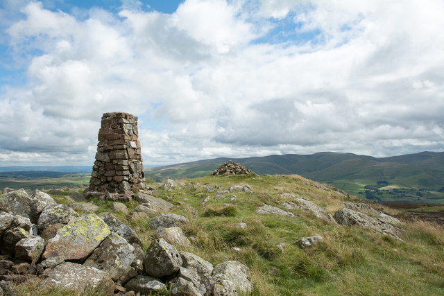
Binsey

Binsey is a hill on the northern edge of the Lake District in Cumbria, England. It is detached from the rest of the Lakeland hills, and thus provides a...

Ireby, Cumbria

Ireby is a village in Cumbria, England with a population of around 180. Between 1974 and 2023, it was in Allerdale district, Cumbria. Since April 2023...

Overwater Hall

Overwater Hall is a country house near Ireby in Cumbria. It is a Grade II Listed building. == History == The house was built for Joseph Gillbanks, who...

Aughertree

Aughertree ( AF-ər-tree) is a village in northern Cumbria, England. It is situated near to the villages of Caldbeck and Torpenhow, but closer to the main...

Over Water

Over Water is a small lake or tarn in the north of the English Lake District, southwest of the hamlet of Longlands. Binsey, Great Cockup and Longlands...
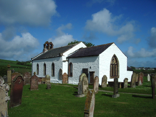
Ireby Old Church

Ireby Old Church is a redundant Anglican church, of which only the chancel remains. It stands in an isolated position 1 mile (2 km) to the west of the...

Nearby Amenities

Located within 500m of 54.719148,-3.1913221
Bus Stop
Bus Shelter (N bound)
Local Ref: AT
Naptan AtcoCode: 090002363454
Naptan Bearing: NE
Naptan CommonName: Bus Shelter (N bound)
Naptan Indicator: at
Naptan Landmark: the bus shelter
Naptan NaptanCode: cumadwpt
Naptan Street: No name
Naptan Verified: no
Source: naptan_import
Lat/Long: 54.7198123/-3.1859364
Bus Stop
Naptan AtcoCode: 090002363455
Naptan Bearing: SW
Naptan BusStopType: CUS
Naptan CommonName: Bus Shelter (S bound)
Naptan Indicator: opp
Naptan Landmark: the bus shelter
Naptan NaptanCode: cumadwpw
Naptan Street: No name
Naptan Verified: no
Source: naptan_import
Lat/Long: 54.7198358/-3.1855827
Ruthwaite
Place: hamlet
Lat/Long: 54.7197839/-3.1838955
Post Box
Ref: CA7 317
Lat/Long: 54.7198041/-3.1860035
Natural: spring
Lat/Long: 54.7160141/-3.1945332
Ruthwaite Baryte Mine
Abandoned: yes
Historic: mine
Man Made: mine
Mineral: barytes
Lat/Long: 54.7213043/-3.1845611
High Ireby Grange
Historic: ruins
Note: Remains of burnt down (Jan 1957) stately home and grounds
Lat/Long: 54.7219119/-3.1941617
Mell Beck Trials
Abandoned: yes
Fixme: On bank of Mell Beck, location may be up to 50m out
Historic: mine
Man Made: mine
Lat/Long: 54.7186076/-3.19186
Power: pole
Lat/Long: 54.7231206/-3.1926602
Power: pole
Lat/Long: 54.722667/-3.1910253
Power: pole
Lat/Long: 54.7222265/-3.1894359
Power: pole
Lat/Long: 54.7218171/-3.1879436
Power: pole
Lat/Long: 54.72133/-3.1862095
Power: pole
Lat/Long: 54.7211068/-3.1853744
The data included in this document is from www.openstreetmap.org. The data is made available under ODbL.

Have you been to Binsey Plantation?

Leave your review of Binsey Plantation below (or comments, questions and feedback).