Bent Haw Wood
Wood, Forest in Lancashire South Lakeland
England
Bent Haw Wood
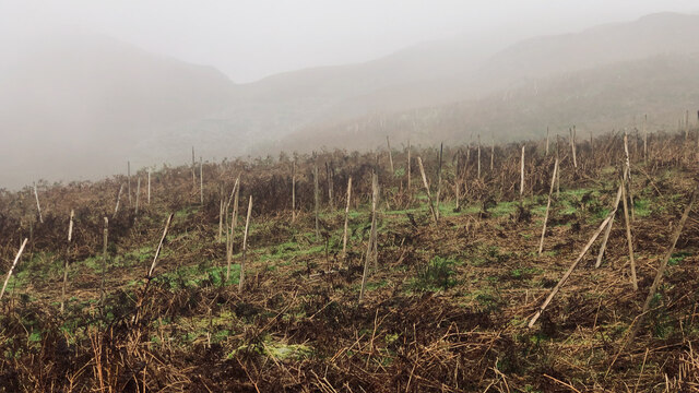
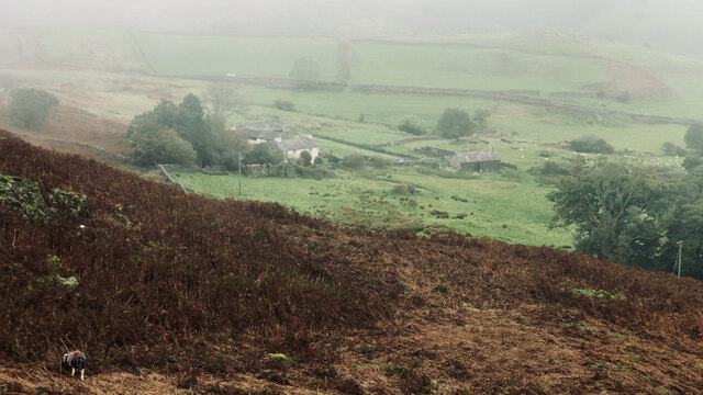
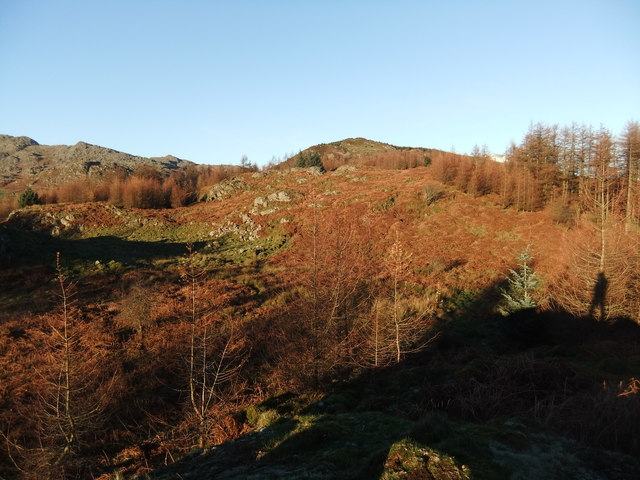
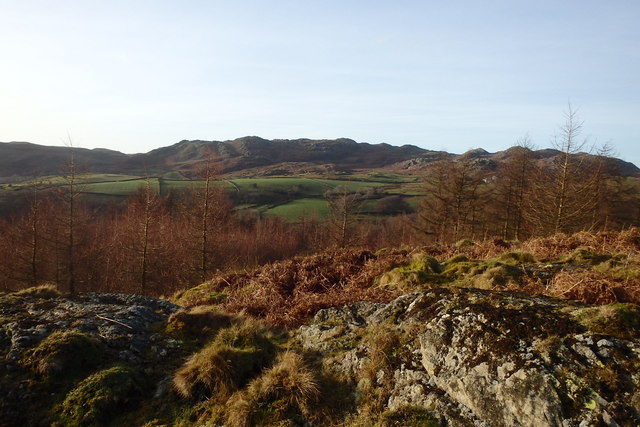
Bent Haw Wood is a picturesque forest located in Lancashire, England. Spanning over a vast area, this woodland is a haven for nature enthusiasts and provides a tranquil escape from the hustle and bustle of urban life.
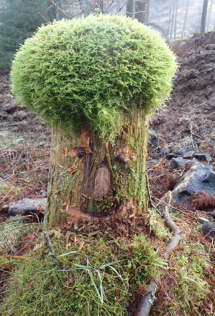
The forest is characterized by its dense canopy of ancient trees, predominantly oak and birch, which create a soothing ambiance and offer shade during hot summer days. The woodland floor is covered with a diverse array of flora, including bluebells, ferns, and wild garlic, adding to the enchanting atmosphere.
Bent Haw Wood is home to a variety of wildlife, making it a popular spot for birdwatchers and wildlife photographers. Visitors may spot species such as woodpeckers, owls, and various songbirds, as well as small mammals like squirrels and rabbits scurrying about.
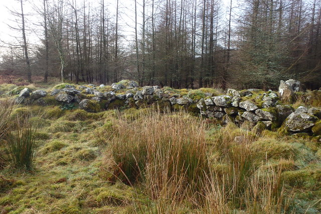
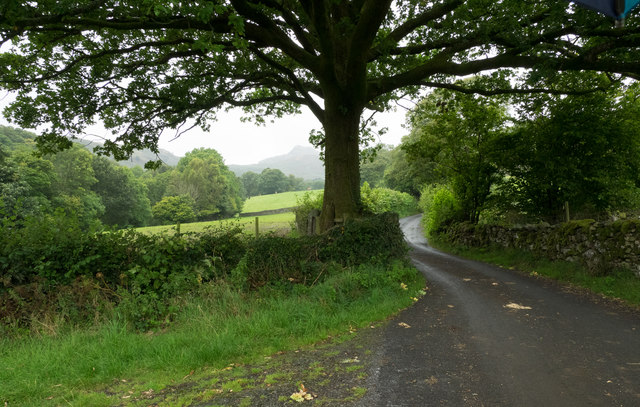
The forest is crisscrossed by a network of well-maintained trails, allowing visitors to explore the woodland at their leisure. These paths lead to hidden gems within the forest, including a serene pond and a small waterfall that cascades gently over moss-covered rocks.
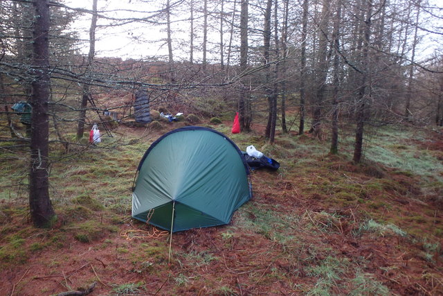
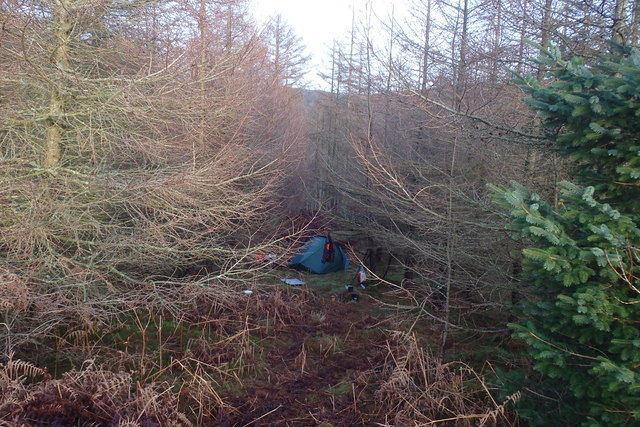
For those seeking a more immersive experience, Bent Haw Wood offers camping facilities in designated areas. Spending a night under the starry sky, surrounded by the soothing sounds of nature, is an unforgettable experience.
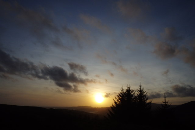
Bent Haw Wood, Lancashire, is a true sanctuary for nature lovers, offering a serene environment, abundant wildlife, and opportunities for outdoor recreation. Whether hiking, birdwatching, or simply enjoying the tranquility, visitors are sure to find solace and beauty in this enchanting forest.
If you have any feedback on the listing, please let us know in the comments section below.
Bent Haw Wood Images
Images are sourced within 2km of 54.318239/-3.1797067 or Grid Reference SD2392. Thanks to Geograph Open Source API. All images are credited.
![Stainton Ground Slate Quarry For further info.: ‘Stainton Ground Slate Quarry’. Heritagegateway.org.uk &lt;<span class="nowrap"><a title="https://www.heritagegateway.org.uk/Gateway/Results_Single.aspx?resourceID=801&amp;uid=2888871" rel="nofollow ugc noopener" href="https://www.heritagegateway.org.uk/Gateway/Results_Single.aspx?resourceID=801&amp;uid=2888871">Link</a><img style="margin-left:2px;" alt="External link" title="External link - shift click to open in new window" src="https://s1.geograph.org.uk/img/external.png" width="10" height="10"/></span> &gt; [accessed 18 October 2023]](https://s2.geograph.org.uk/geophotos/07/62/80/7628062_135b0b8c.jpg)


Bent Haw Wood is located at Grid Ref: SD2392 (Lat: 54.318239, Lng: -3.1797067)
Administrative County: Cumbria
District: South Lakeland
Police Authority: Cumbria
What 3 Words
///include.bandwagon.mouse. Near Millom, Cumbria
Nearby Locations
Related Wikis

Woodland railway station
Woodland railway station served the hamlet of Woodland, in Lancashire, England (now in Cumbria). It was on the branch line to Coniston. == History == Authorised...

Blacksmiths Arms, Broughton Mills
The Blacksmiths Arms is a Grade II listed public house at Broughton Mills, Cumbria, England.It is on the Campaign for Real Ale's National Inventory of...

Great Stickle
Great Stickle is a fell located in the southern Lake District of England with an altitude of 305 m (1,001 ft). Alfred Wainwright included it in the Stickle...

Rosthwaite, Broughton West
Rosthwaite is a settlement in the Broughton West civil parish of Westmorland and Furness, Cumbria England. It is part of the Lake District, 3 miles (4...
Nearby Amenities
Located within 500m of 54.318239,-3.1797067Have you been to Bent Haw Wood?
Leave your review of Bent Haw Wood below (or comments, questions and feedback).