Great Wood
Wood, Forest in Cumberland Copeland
England
Great Wood
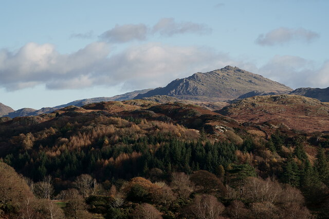
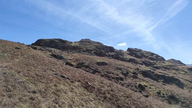
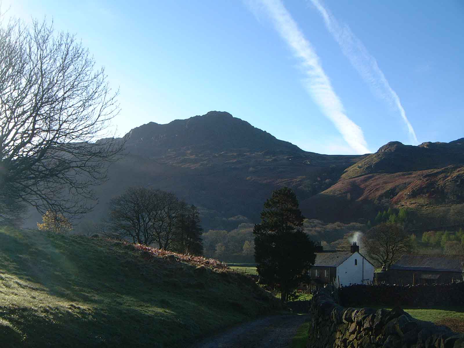
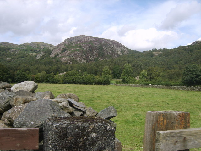
Great Wood is a picturesque forest located in Cumberland, a county in the northwest of England. Spanning over a vast area of land, it is known for its rich biodiversity and breathtaking natural beauty. The forest is characterized by its dense canopy, consisting primarily of oak, beech, and birch trees, which provide a serene and tranquil atmosphere for visitors.
Great Wood is home to a diverse range of wildlife, including deer, squirrels, and various bird species. The forest's abundance of flora and fauna makes it an ideal destination for nature enthusiasts and wildlife photographers. The forest floor is carpeted with vibrant wildflowers, adding a splash of color to the surroundings.
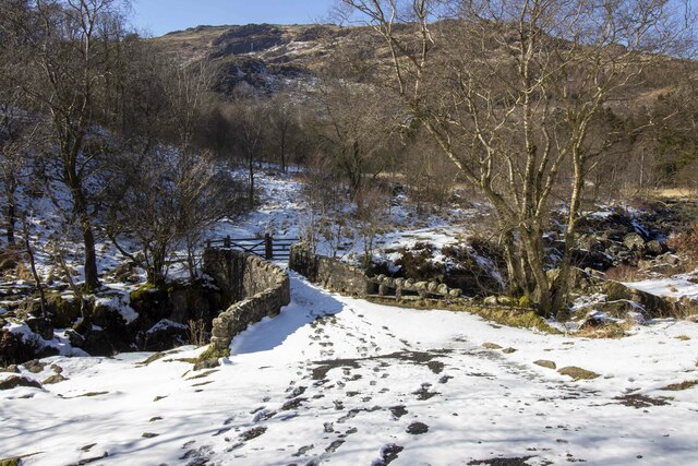
The woodland paths within Great Wood offer a perfect opportunity for hikers and nature lovers to explore its hidden treasures. As visitors venture deeper into the forest, they may come across ancient stone ruins, remnants of the area's historical past. These ruins serve as a reminder of the rich cultural heritage that is intertwined with the natural beauty of Great Wood.
The forest also houses several well-maintained picnic areas and designated camping sites, allowing visitors to immerse themselves in the peaceful ambiance of the forest for an extended period. Additionally, there are numerous walking and cycling trails that cater to individuals of all fitness levels, providing an opportunity for outdoor recreation and exercise.
Overall, Great Wood in Cumberland is a captivating destination for those seeking solace in nature. Its sprawling forest, vibrant flora and fauna, and historical significance make it a truly remarkable place to visit.
If you have any feedback on the listing, please let us know in the comments section below.
Great Wood Images
Images are sourced within 2km of 54.382644/-3.1817382 or Grid Reference SD2399. Thanks to Geograph Open Source API. All images are credited.


![Sheep fold northeast of Tongue House Close For further info. see ‘MNA117875 | National Trust Heritage Records’. 2015. Nationaltrust.org.uk &lt;<span class="nowrap"><a title="https://heritagerecords.nationaltrust.org.uk/HBSMR/MonRecord.aspx?uid=MNA117875" rel="nofollow ugc noopener" href="https://heritagerecords.nationaltrust.org.uk/HBSMR/MonRecord.aspx?uid=MNA117875">Link</a><img style="margin-left:2px;" alt="External link" title="External link - shift click to open in new window" src="https://s1.geograph.org.uk/img/external.png" width="10" height="10"/></span> &gt; [accessed 18 October 2023]](https://s3.geograph.org.uk/geophotos/07/62/80/7628091_b2f52aec.jpg)


Great Wood is located at Grid Ref: SD2399 (Lat: 54.382644, Lng: -3.1817382)
Administrative County: Cumbria
District: Copeland
Police Authority: Cumbria
What 3 Words
///vibe.turned.sweetened. Near Ambleside, Cumbria
Nearby Locations
Related Wikis

Birks Bridge
Birks Bridge is a traditional stone-built bridge over the River Duddon in the English Lake District, in Dunnerdale-with-Seathwaite, Cumbria, standing...
Harter Fell (Eskdale)
Harter Fell is a fell in the western part of the English Lake District, located between the Eskdale and Duddon valleys. Its height is 653 metres (2,142...

Seathwaite Tarn
Seathwaite Tarn is a reservoir in the Furness Fells within the English Lake District. It is located to the south of Grey Friar and to the west of Brim...

Walna Scar
Walna Scar is a hill in the English Lake District, lying just south of a pass of the same name in the Coniston Hills. Its summit at 2,035 feet (620 m)...

Hardknott Pass
Hardknott Pass is a hill pass between Eskdale and the Duddon Valley in the Lake District National Park, Cumbria, England. The tarmac-surfaced road, which...
Wallowbarrow Crag
Wallowbarrow Crag is a hill of 292 metres (958 ft) in the Lake District, England. It is on the west of the Duddon Valley, across the valley from the village...

Hardknott Roman Fort
Hardknott Roman Fort is an archeological site, the remains of the Roman fort Mediobogdum, located on the western side of the Hardknott Pass in the English...

Cockley Beck
Cockley Beck is a small hamlet, situated in the Duddon Valley in Cumbria, England. Historically, the hamlet was part of Lancashire. Located today within...
Nearby Amenities
Located within 500m of 54.382644,-3.1817382Have you been to Great Wood?
Leave your review of Great Wood below (or comments, questions and feedback).