Nine Acre Plantation
Wood, Forest in Devon East Devon
England
Nine Acre Plantation
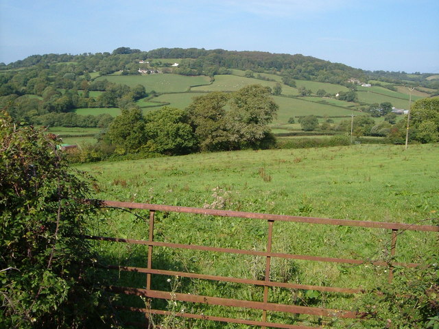
Nine Acre Plantation, located in Devon, England, is a picturesque wood and forest area spanning approximately nine acres. Situated in a rural setting, this plantation is a haven for nature enthusiasts, offering a diverse range of flora and fauna.
The plantation boasts a lush and dense canopy of trees, including oak, beech, and ash, which create a serene and tranquil atmosphere. The woodland floor is carpeted with a variety of wildflowers, such as bluebells and primroses, adding a splash of color to the landscape during the spring season.
Nine Acre Plantation is home to numerous wildlife species, making it an ideal spot for wildlife enthusiasts. Visitors might catch a glimpse of deer grazing in the meadows or hear the enchanting songs of birds like robins, blackbirds, and woodpeckers. Additionally, the plantation provides a habitat for small mammals like squirrels and hedgehogs.
For those interested in exploring the great outdoors, Nine Acre Plantation offers several walking trails that wind through the woodland. These trails provide an opportunity to immerse oneself in the natural beauty of the area while also offering a chance to spot various plant and animal species.
The plantation is well-maintained, with clearly marked paths and informational signage to guide visitors. There are also designated picnic areas and benches, allowing visitors to relax and enjoy the surroundings. Nine Acre Plantation is a popular destination for families, nature lovers, and those seeking a peaceful retreat in the heart of Devon's countryside.
If you have any feedback on the listing, please let us know in the comments section below.
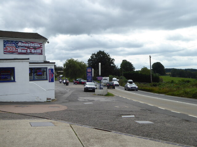
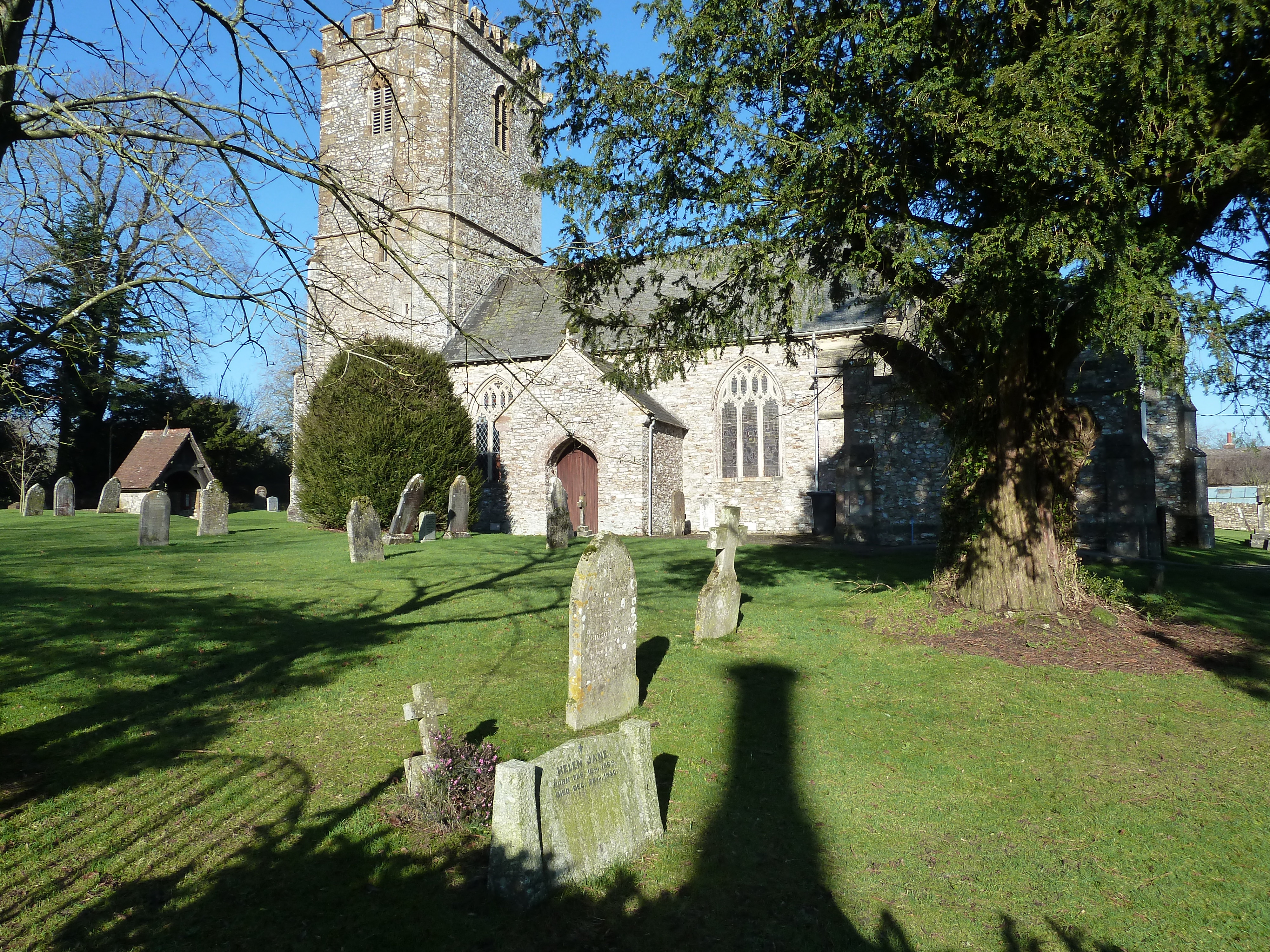
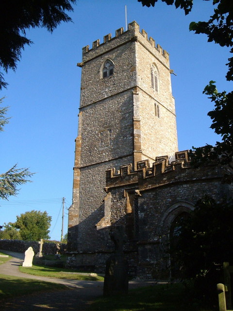
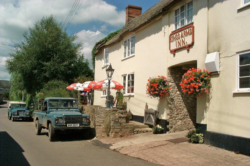
Nine Acre Plantation Images
Images are sourced within 2km of 50.859305/-3.1052047 or Grid Reference ST2207. Thanks to Geograph Open Source API. All images are credited.


Nine Acre Plantation is located at Grid Ref: ST2207 (Lat: 50.859305, Lng: -3.1052047)
Administrative County: Devon
District: East Devon
Police Authority: Devon and Cornwall
What 3 Words
///realm.wished.rods. Near Dunkeswell, Devon
Nearby Locations
Related Wikis
Upottery
Upottery (originally Up Ottery) is a rural village, civil parish and former manor in East Devon, England. == Location == Upottery takes up both sides of...
Yarcombe
Yarcombe is a village and civil parish in the county of Devon, England, situated in the East Devon administrative district on the A30 road near the towns...
Stockland, Devon
Stockland is a village and civil parish in Devon, close to the Somerset boundary. The parish is surrounded clockwise from the north by the parishes of...

Mohuns Ottery
Mohuns Ottery or Mohun's Ottery ( "moon's awtrey"), is a house and historic manor in the parish of Luppitt, 1 mile south-east of the village of Luppitt...
Related Videos

Track - Overseas hip-hop/ rap
Goodhussle music Just some smooth vibes Overseas vacation music..
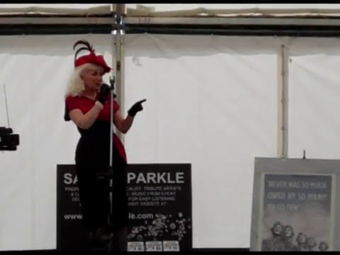
SANDY SPARKLE sings YOU BELONG TO ME.
SANDY SPARKLE sings YOU BELONG TO ME. Filmed LIVE at the D-DAY+70 1940's WEEKEND, UPOTTERY, DEVON - 21st ...
Nearby Amenities
Located within 500m of 50.859305,-3.1052047Have you been to Nine Acre Plantation?
Leave your review of Nine Acre Plantation below (or comments, questions and feedback).