Home Covert

Wood, Forest in Devon Somerset West and Taunton

England

Home Covert

Old Milepost by B3170, near Walland Farm and cross roads at North Down The Milepost is located on grassy bank on the East of the road.  Parish of Otterford (Taunton Deane District). Cast iron post, Taunton Allen iron casting design, erected by the Local Highways Board in the 19th Century, repainted by SCC in 2007 but already going rusty. An earlier photograph can be found here: <a title="https://www.geograph.org.uk/photo/6051358" href="https://www.geograph.org.uk/photo/6051358">Link</a> 

Inscription reads:-  HONITON / 11 3/8 / : : TAUNTON / 7  

Grade II listed. List Entry Number: 1060231 <span class="nowrap"><a title="https://historicengland.org.uk/listing/the-list/list-entry/1060231" rel="nofollow ugc noopener" href="https://historicengland.org.uk/listing/the-list/list-entry/1060231">Link</a><img style="margin-left:2px;" alt="External link" title="External link - shift click to open in new window" src="https://s1.geograph.org.uk/img/external.png" width="10" height="10"/></span> 

Milestone Society National ID: SO_TAHO07
Old Milepost by B3170, near Walland Farm and cross roads at North Down Credit: JR Dowding

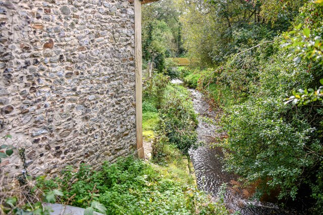
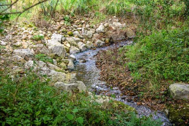
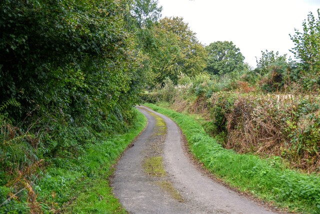
Home Covert is a picturesque woodland area located in Devon, England. Situated within the larger region known as Dartmoor National Park, it is a haven for nature enthusiasts and wildlife lovers alike. Spanning over a vast expanse of approximately 500 acres, Home Covert offers a tranquil retreat away from the hustle and bustle of urban life.

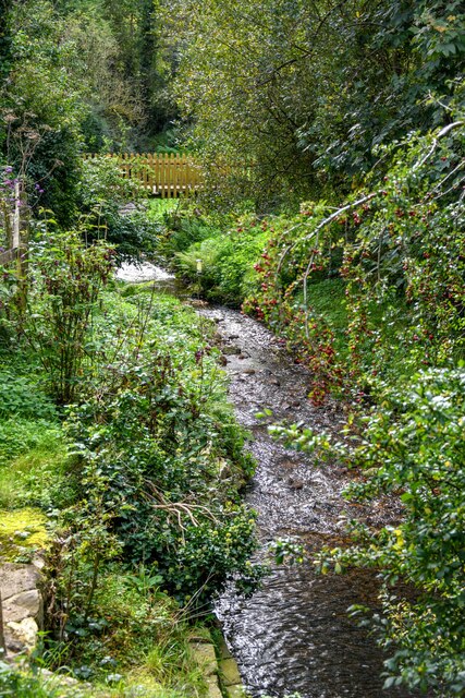
The woodland is predominantly composed of native broadleaf trees such as oak, beech, and birch, which create a dense and rich habitat for a diverse array of flora and fauna. Walking through the forest, visitors can expect to encounter a variety of wildflowers, mosses, and ferns that thrive in the cool, shaded environment.

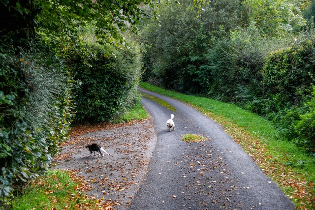
Home Covert is also home to numerous species of wildlife, including deer, foxes, badgers, and a wide range of bird species. Birdwatchers will be delighted by the opportunity to spot rare and beautiful birds such as the pied flycatcher and the redstart, which make their nests within the woodland.

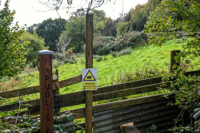
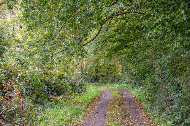
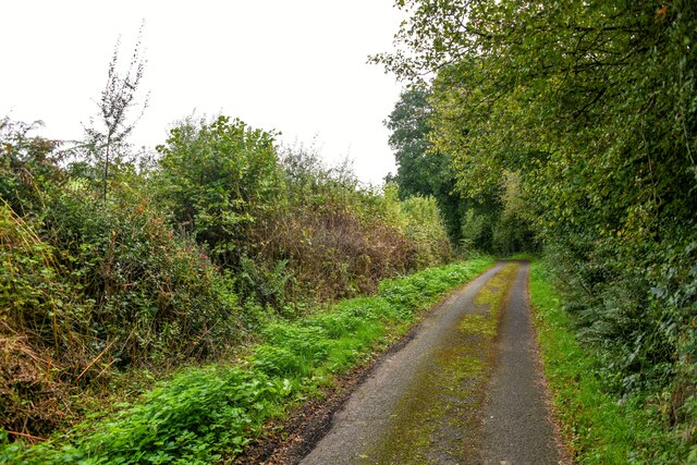
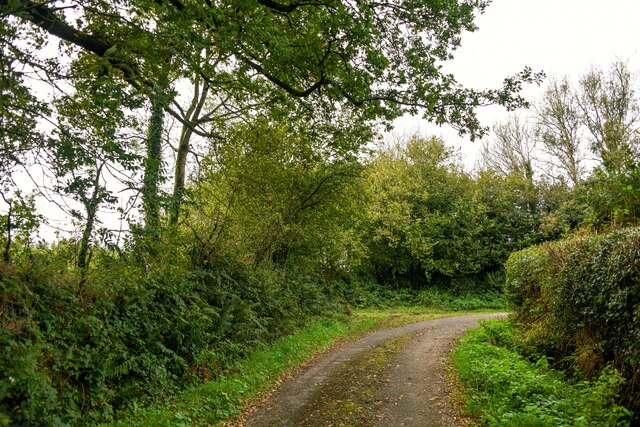
Visitors to Home Covert can enjoy a range of recreational activities, such as hiking, picnicking, and wildlife spotting. The forest is crisscrossed by a network of well-maintained trails, allowing visitors to explore the area and discover its hidden gems. Additionally, there are designated picnic areas that provide the perfect spot to relax and enjoy a meal amidst the natural surroundings.

Overall, Home Covert in Devon is a stunning woodland destination that offers a peaceful retreat for those seeking to immerse themselves in nature's beauty. With its diverse ecosystem and abundant wildlife, it is a place that will captivate the hearts of all who visit.

If you have any feedback on the listing, please let us know in the comments section below.
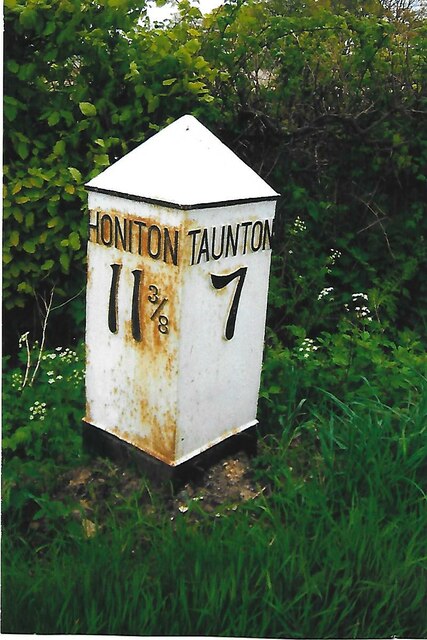
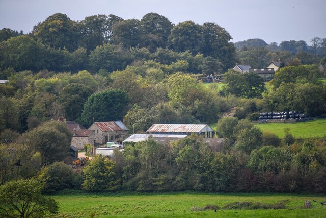
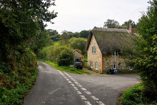
Home Covert Images

Images are sourced within 2km of 50.918381/-3.1077705 or Grid Reference ST2213. Thanks to Geograph Open Source API. All images are credited.

Old Milepost by B3170, near Walland Farm and cross roads at North Down The Milepost is located on grassy bank on the East of the road.  Parish of Otterford (Taunton Deane District). Cast iron post, Taunton Allen iron casting design, erected by the Local Highways Board in the 19th Century, repainted by SCC in 2007 but already going rusty. An earlier photograph can be found here: <a title="https://www.geograph.org.uk/photo/6051358" href="https://www.geograph.org.uk/photo/6051358">Link</a> 

Inscription reads:-  HONITON / 11 3/8 / : : TAUNTON / 7  

Grade II listed. List Entry Number: 1060231 <span class="nowrap"><a title="https://historicengland.org.uk/listing/the-list/list-entry/1060231" rel="nofollow ugc noopener" href="https://historicengland.org.uk/listing/the-list/list-entry/1060231">Link</a><img style="margin-left:2px;" alt="External link" title="External link - shift click to open in new window" src="https://s1.geograph.org.uk/img/external.png" width="10" height="10"/></span> 

Milestone Society National ID: SO_TAHO07
Old Milepost by B3170, near Walland Farm and cross roads at North Down
The Milepost is located on grassy bank on the East of the road.  Parish of Otterford (Taunton Deane District). Cast iron post, Taunton Allen iron casting design, erected by the Local Highways Board in the 19th Century, repainted by SCC in 2007 but already going rusty. An earlier photograph can be found here: Link  Inscription reads:- HONITON / 11 3/8 / : : TAUNTON / 7 Grade II listed. List Entry Number: 1060231 LinkExternal link Milestone Society National ID: SO_TAHO07
Buckland St Mary : Countryside Scenery Looking across to Fyfett.
Buckland St Mary : Countryside Scenery
Looking across to Fyfett.
Buckland St Mary : Farm Lane Looking along Farm Lane, passing Westhay Farm.
Buckland St Mary : Farm Lane
Looking along Farm Lane, passing Westhay Farm.
Buckland St Mary : Westhay Farm Looking to Westhay Farm.
Buckland St Mary : Westhay Farm
Looking to Westhay Farm.
Buckland St Mary : Farm Lane Looking up the hill.
Buckland St Mary : Farm Lane
Looking up the hill.
Buckland St Mary : Farm Lane Looking along Farm Lane as it heads up the hill.
Buckland St Mary : Farm Lane
Looking along Farm Lane as it heads up the hill.
Buckland St Mary : Country Lane A lane heads off from Farm Lane.
Buckland St Mary : Country Lane
A lane heads off from Farm Lane.
Buckland St Mary : Farm Lane Looking along Farm Lane, passing Lower Howstead.
Buckland St Mary : Farm Lane
Looking along Farm Lane, passing Lower Howstead.
Otterford : River Yarty Looking down to the river.
Otterford : River Yarty
Looking down to the river.
Otterford : River Yarty Looking down to the river.
Otterford : River Yarty
Looking down to the river.
Otterford : River Yarty Looking along the River Yarty.
Otterford : River Yarty
Looking along the River Yarty.
Otterford : Road A road heads down the hill.
Otterford : Road
A road heads down the hill.
Otterford : Higher Howstead Looking towards a house.
Otterford : Higher Howstead
Looking towards a house.
Otterford : Grassy Field A right of way heads through the field. There is a warning of sheep.
Otterford : Grassy Field
A right of way heads through the field. There is a warning of sheep.
Otterford : Road The road heads down the hill.
Otterford : Road
The road heads down the hill.
Otterford : Road Looking along a country road.
Otterford : Road
Looking along a country road.
Otterford : Road Looking along a country lane.
Otterford : Road
Looking along a country lane.
Otterford : Road Looking along a country lane.
Otterford : Road
Looking along a country lane.
Show me another place!

Home Covert is located at Grid Ref: ST2213 (Lat: 50.918381, Lng: -3.1077705)

Administrative County: Somerset

District: Somerset West and Taunton

Police Authority: Avon and Somerset

What 3 Words

///video.tape.handrail. Near Hemyock, Devon

Related Wikis

Otterhead Lakes

Otterhead Lakes are a pair of reservoirs in the Blackdown Hills Area of Outstanding Natural Beauty south of Otterford in Somerset, England. They are fed...

Church of St Leonard, Otterford

The Anglican Church of St Leonard in Otterford, Somerset, England was built in the 14th century. It is a Grade II* listed building. == History == The church...

Otterford

Otterford is a village and civil parish in Somerset, England. It is situated on the Blackdown Hills, 7 miles (11.3 km) south of Taunton. The village has...

Robin Hood's Butts

Robin Hood's Butts are a group of nine Bronze Age barrows near Otterford on the Blackdown Hills in Somerset, England. They have been scheduled as ancient...

Related Videos

How to create a holiday let - My story - How to become a property developer

George Bannister is the owner of BlackOak Ltd, Otterhead House & The Old Chicken House based nearTaunton, Somerset UK ...

Intro to the formula to creating a profitable holiday let - How to become a property developer

George Bannister is the owner of BlackOak Ltd, Otterhead House & The Old Chicken House based nearTaunton, Somerset UK ...

How to combat overwhelm - Holiday let edition - How to become a property developer

George Bannister is the owner of BlackOak Ltd, Otterhead House & The Old Chicken House based nearTaunton, Somerset UK ...

#100 The Cottage

Work hard but play harder.

Nearby Amenities

Located within 500m of 50.918381,-3.1077705
Site of Otterhead House
Historic: ruins
Lat/Long: 50.9186069/-3.1053507
Power: pole
Source: bing
Lat/Long: 50.9153267/-3.1071809
Power: pole
Source: bing
Lat/Long: 50.9162246/-3.1085193
Power: pole
Source: bing
Lat/Long: 50.9171378/-3.1098712
Power: pole
Source: bing
Lat/Long: 50.9178243/-3.1108072
Power: pole
Source: bing
Lat/Long: 50.9184685/-3.1117165
Power: pole
Source: bing
Lat/Long: 50.9195372/-3.1132185
The data included in this document is from www.openstreetmap.org. The data is made available under ODbL.

Have you been to Home Covert?

Leave your review of Home Covert below (or comments, questions and feedback).