Royston Lake
Lake, Pool, Pond, Freshwater Marsh in Devon Somerset West and Taunton
England
Royston Lake
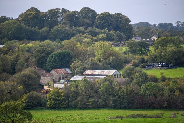
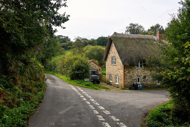
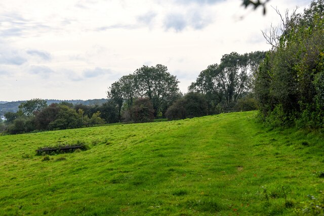
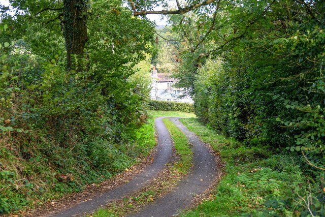
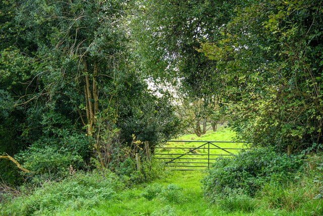
Royston Lake is a picturesque freshwater lake located in Devon, England. This serene body of water covers an area of approximately 20 acres and is nestled amidst the scenic countryside. The lake is a popular destination for both locals and tourists, offering a tranquil and idyllic setting for various recreational activities.
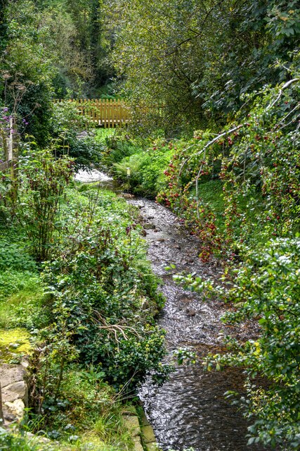
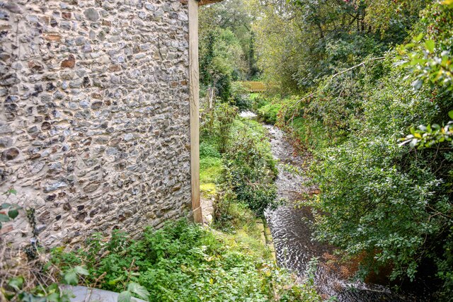
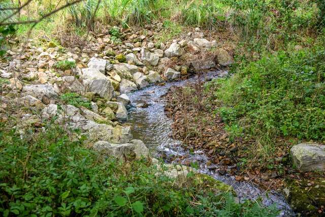
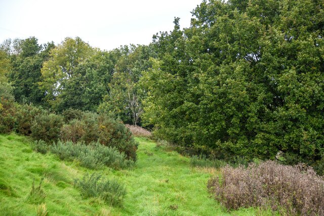
Surrounded by lush greenery, Royston Lake provides a haven for wildlife and is home to a diverse range of aquatic species. The crystal-clear waters are teeming with fish, making it a favorite spot for anglers seeking a peaceful day of fishing. The lake boasts a healthy population of carp, pike, and roach, among others.
Nature enthusiasts are drawn to Royston Lake for its rich biodiversity. The surrounding marshland and wetland areas are abundant with birdlife, attracting birdwatchers who come to observe a plethora of species, including herons, ducks, and swans. The lake also supports a variety of plant life, with water lilies and reeds dotting its shores.
For those seeking a more active experience, Royston Lake offers opportunities for boating and kayaking. Visitors can hire rowboats or bring their own vessels to explore the calm waters and soak up the tranquil atmosphere. The lake's calm and peaceful nature also makes it an ideal destination for paddleboarding and other water-based activities.
Royston Lake is a hidden gem in the Devon countryside, providing a serene and natural oasis for visitors seeking relaxation, wildlife encounters, and recreational pursuits. Whether it's fishing, birdwatching, or simply enjoying the beauty of the surroundings, this freshwater lake offers something for everyone.
If you have any feedback on the listing, please let us know in the comments section below.
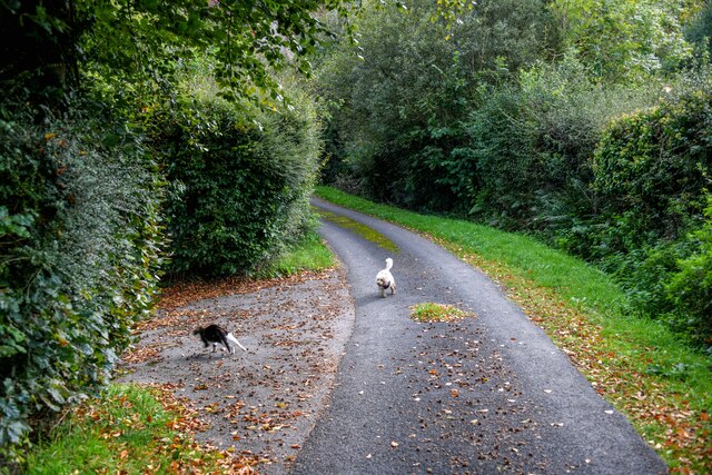
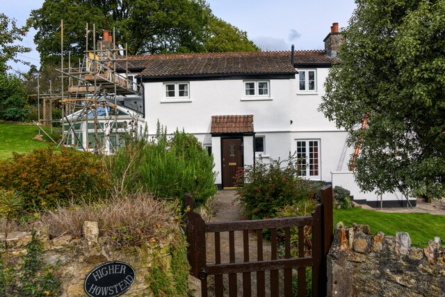
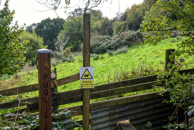
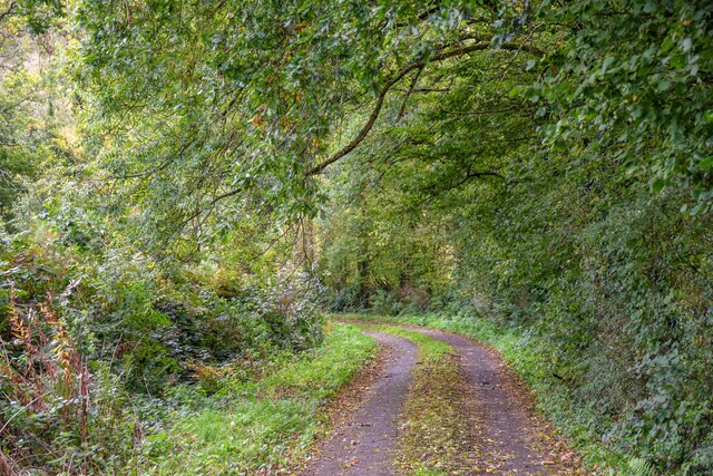
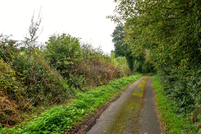
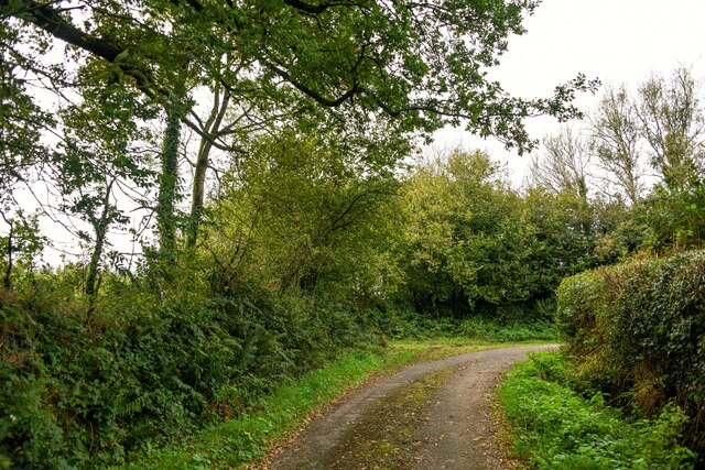
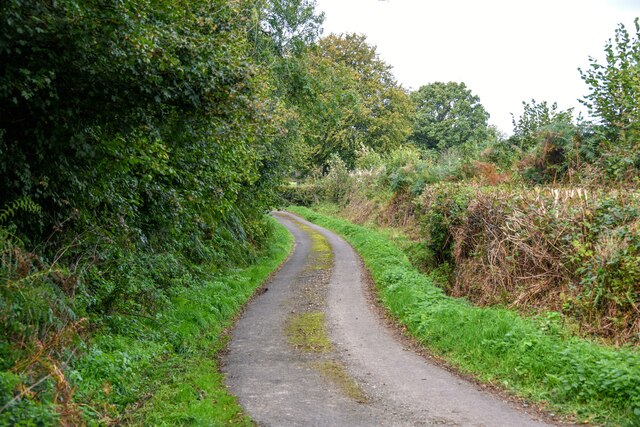
Royston Lake Images
Images are sourced within 2km of 50.913311/-3.1019317 or Grid Reference ST2213. Thanks to Geograph Open Source API. All images are credited.
Royston Lake is located at Grid Ref: ST2213 (Lat: 50.913311, Lng: -3.1019317)
Administrative County: Somerset
District: Somerset West and Taunton
Police Authority: Avon and Somerset
What 3 Words
///jigging.depth.limelight. Near Hemyock, Devon
Nearby Locations
Related Wikis

Otterhead Lakes
Otterhead Lakes are a pair of reservoirs in the Blackdown Hills Area of Outstanding Natural Beauty south of Otterford in Somerset, England. They are fed...

Church of St Leonard, Otterford
The Anglican Church of St Leonard in Otterford, Somerset, England was built in the 14th century. It is a Grade II* listed building. == History == The church...

Robin Hood's Butts
Robin Hood's Butts are a group of nine Bronze Age barrows near Otterford on the Blackdown Hills in Somerset, England. They have been scheduled as ancient...

Otterford
Otterford is a village and civil parish in Somerset, England. It is situated on the Blackdown Hills, 7 miles (11.3 km) south of Taunton. The village has...
Related Videos

How to create a holiday let - My story - How to become a property developer
George Bannister is the owner of BlackOak Ltd, Otterhead House & The Old Chicken House based nearTaunton, Somerset UK ...

Intro to the formula to creating a profitable holiday let - How to become a property developer
George Bannister is the owner of BlackOak Ltd, Otterhead House & The Old Chicken House based nearTaunton, Somerset UK ...

How to combat overwhelm - Holiday let edition - How to become a property developer
George Bannister is the owner of BlackOak Ltd, Otterhead House & The Old Chicken House based nearTaunton, Somerset UK ...

#100 The Cottage
Work hard but play harder.
Nearby Amenities
Located within 500m of 50.913311,-3.1019317Have you been to Royston Lake?
Leave your review of Royston Lake below (or comments, questions and feedback).