Cockshot Wood
Wood, Forest in Cumberland Allerdale
England
Cockshot Wood
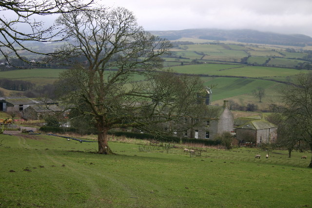
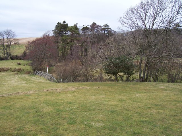
Cockshot Wood, located in Cumberland, England, is a picturesque forest with a rich history and diverse ecosystem. Spanning over a vast area, the wood is renowned for its natural beauty and offers a tranquil escape for visitors seeking solace in nature.
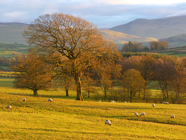
The wood is primarily composed of broadleaf trees, including oak, beech, and ash, which create a dense canopy overhead, providing shade and shelter to a variety of wildlife. These trees, some of which are centuries old, contribute to the wood's enchanting atmosphere, with sunlight filtering through the leaves and casting dappled shadows on the forest floor.
Cockshot Wood has a long history, dating back to medieval times when it was part of a hunting ground for the local nobility. Today, remnants of this past can still be seen in the form of ancient boundary markers and the occasional hidden pathway. The wood has also been used for timber production over the years, with evidence of logging activities scattered throughout.
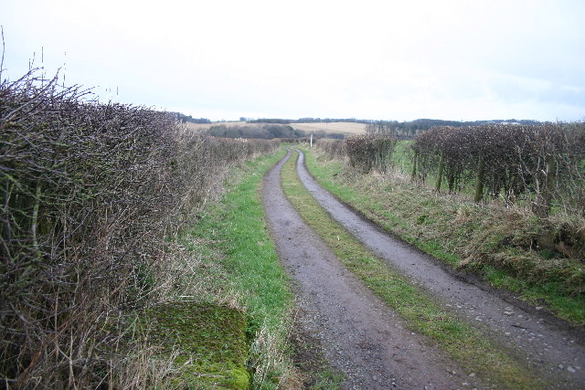
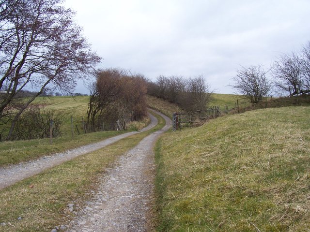
Exploring the wood, visitors may come across a plethora of wildlife. Deer, badgers, foxes, and a wide variety of bird species call Cockshot Wood their home. The wood's diverse flora and fauna make it an excellent location for nature enthusiasts and photographers, who can capture the beauty of wildflowers, fungi, and the changing colors of the leaves throughout the seasons.
Cockshot Wood, Cumberland, is a true gem of natural beauty, offering visitors a chance to immerse themselves in the serenity of a well-preserved forest, rich in history and biodiversity.
If you have any feedback on the listing, please let us know in the comments section below.
Cockshot Wood Images
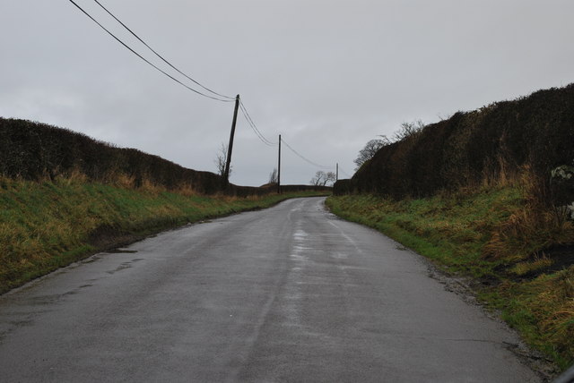
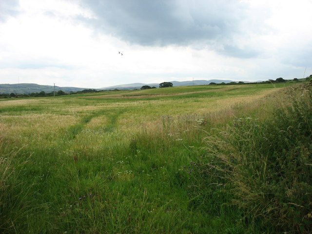
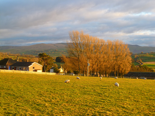
Images are sourced within 2km of 54.742946/-3.2131006 or Grid Reference NY2239. Thanks to Geograph Open Source API. All images are credited.
Cockshot Wood is located at Grid Ref: NY2239 (Lat: 54.742946, Lng: -3.2131006)
Administrative County: Cumbria
District: Allerdale
Police Authority: Cumbria
What 3 Words
///bandstand.welfare.polices. Near Aspatria, Cumbria
Nearby Locations
Related Wikis

Ireby Old Church
Ireby Old Church is a redundant Anglican church, of which only the chancel remains. It stands in an isolated position 1 mile (2 km) to the west of the...

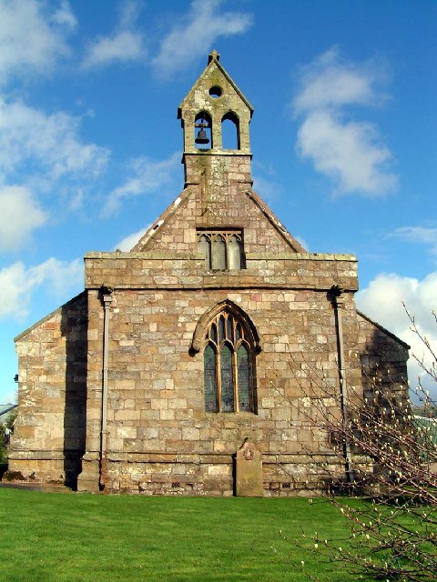
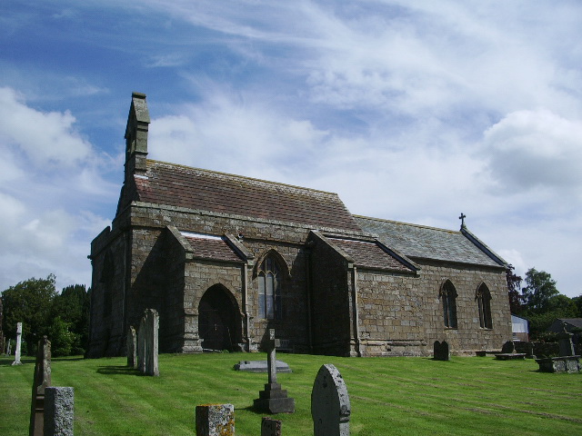
St Michael's Church, Torpenhow
St Michael's Church is in the civil parish of Blennerhasset and Torpenhow, Cumbria, England. It is an active Anglican church in the deanery of Derwent...

Boltongate
Boltongate is a village in Cumbria, England. It is situated about 10 miles (16 km) north-east of Cockermouth. It is located just outside the Lake District...
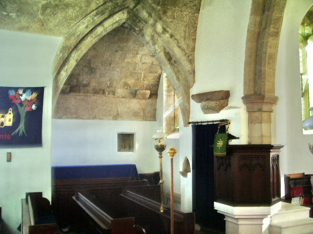
All Saints Church, Boltongate
All Saints' Church is in the village of Boltongate, Cumbria, England. It is an active Anglican parish church in the deanery of Solway, the archdeaconry...
Nearby Amenities
Located within 500m of 54.742946,-3.2131006Have you been to Cockshot Wood?
Leave your review of Cockshot Wood below (or comments, questions and feedback).