Church House Wood

Wood, Forest in Cumberland Copeland

England

Church House Wood

Vernacular farm building at The Crook
Vernacular farm building at The Crook Credit: P Gaskell

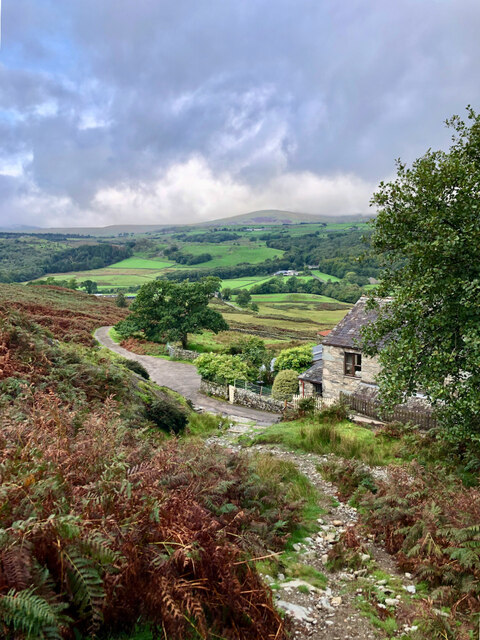
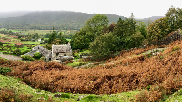
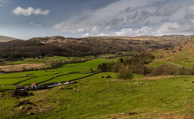
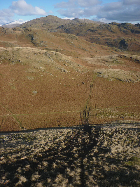
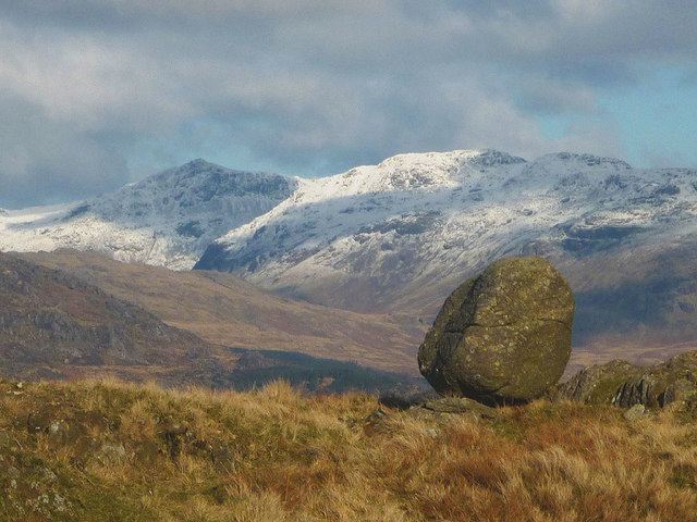
Church House Wood is a picturesque woodland located in the county of Cumberland, England. Covering an area of approximately 100 acres, this ancient forest is renowned for its diverse flora and fauna, making it a popular destination for nature enthusiasts and hikers alike.

The woodland is characterized by its dense canopy of towering oak, beech, and ash trees, which provide a cool and tranquil environment for visitors to explore. The forest floor is adorned with a rich carpet of bluebells, wild garlic, and primroses during the spring months, creating a breathtaking display of colors and scents.

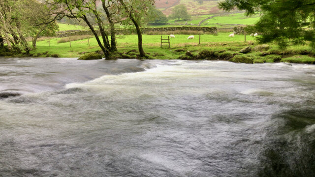
Numerous walking trails crisscross the woodland, allowing visitors to experience its natural beauty up close. These paths wind through the forest, leading to hidden glades, babbling brooks, and ancient ruins, adding an air of mystery to the surroundings. Bird watchers will be delighted to spot a variety of avian species, including woodpeckers, owls, and warblers, while lucky visitors might even catch a glimpse of red squirrels or roe deer.

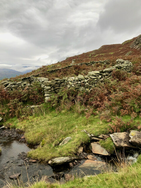
Church House Wood is also home to several historical sites, including the ruins of an old church, which give the woodland its name. These remnants offer a glimpse into the area's past and add a sense of wonder and intrigue to the natural surroundings.

Whether visitors are seeking a peaceful stroll, a chance to connect with nature, or an opportunity to uncover the history of the region, Church House Wood in Cumberland offers a captivating experience that is sure to leave a lasting impression.

If you have any feedback on the listing, please let us know in the comments section below.

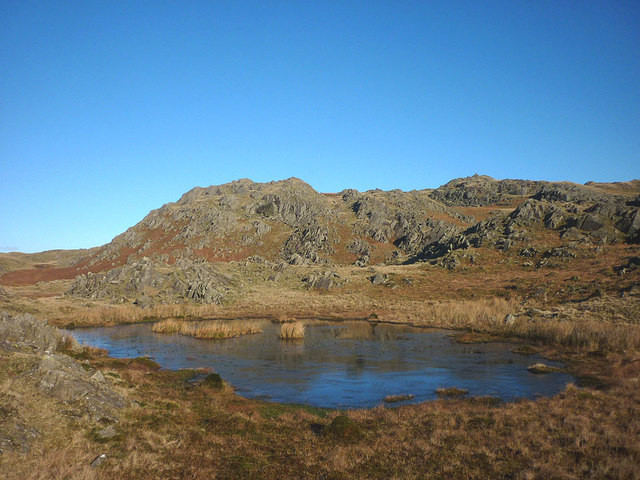
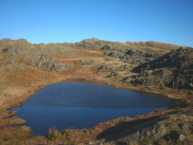
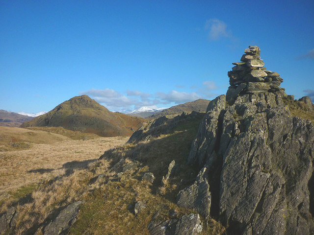
Church House Wood Images

Images are sourced within 2km of 54.330111/-3.2372073 or Grid Reference SD1993. Thanks to Geograph Open Source API. All images are credited.

Vernacular farm building at The Crook
Washfold, Hollow Moss Beck A pen for holding sheep waiting to be washed. The following is quoted from the Lake District National Park HER see <span class="nowrap"><a title="https://www.heritagegateway.org.uk/Gateway/Results_Single.aspx?uid=2900443&resourceID=801" rel="nofollow ugc noopener" href="https://www.heritagegateway.org.uk/Gateway/Results_Single.aspx?uid=2900443&resourceID=801">Link</a><img style="margin-left:2px;" alt="External link" title="External link - shift click to open in new window" src="https://s1.geograph.org.uk/img/external.png" width="10" height="10"/></span>

"An unusual circular fold 8m diameter with an internal partition forming two chambers. An 11m long driving wall has been built along naturally rocky outcrops to assist driving sheep into the fold. The wash dub measures 3m by 4m and apart from being partially silted up all the features are intact and in excellent condition. There is a dry stone built launching platform just outside the gate and the beck is masonry lined on the bank nearest the fold to prevent undermining of the structure. The remains of a dry stone dam are substantially complete on both banks of the beck. The fold is in excellent condition, walls are intact to full height and cams in place, however approximately half of the driving wall is partially collapsed. The wash dub features are one of the best preserved in the Western valleys and are also in excellent condition."
Washfold, Hollow Moss Beck
A pen for holding sheep waiting to be washed. The following is quoted from the Lake District National Park HER see LinkExternal link "An unusual circular fold 8m diameter with an internal partition forming two chambers. An 11m long driving wall has been built along naturally rocky outcrops to assist driving sheep into the fold. The wash dub measures 3m by 4m and apart from being partially silted up all the features are intact and in excellent condition. There is a dry stone built launching platform just outside the gate and the beck is masonry lined on the bank nearest the fold to prevent undermining of the structure. The remains of a dry stone dam are substantially complete on both banks of the beck. The fold is in excellent condition, walls are intact to full height and cams in place, however approximately half of the driving wall is partially collapsed. The wash dub features are one of the best preserved in the Western valleys and are also in excellent condition."
Stickle Tarn
Stickle Tarn
Fellside above Birks
A far away view of Birks
Stepping stones across the River Duddon
Site of Commonwood Quarries For more information see Heritagegateway.org.uk <<span class="nowrap"><a title="https://www.heritagegateway.org.uk/Gateway/Results_Single.aspx?resourceID=801&uid=2887969" rel="nofollow ugc noopener" href="https://www.heritagegateway.org.uk/Gateway/Results_Single.aspx?resourceID=801&uid=2887969">Link</a><img style="margin-left:2px;" alt="External link" title="External link - shift click to open in new window" src="https://s1.geograph.org.uk/img/external.png" width="10" height="10"/></span> > [accessed 14 October 2023]

‌
Site of Commonwood Quarries
For more information see Heritagegateway.org.uk <LinkExternal link > [accessed 14 October 2023] ‌
Orienteering, Dunnerdale Fells Looking back towards the start from a climb above Kiln Bank on Lakeland OC&amp;#039;s Stickle Pike map. I had already run and was walking up Stickle Pike.  The runners will have completed a loop north of the road before climbing to the southern part of the competition area here.
Orienteering, Dunnerdale Fells
Looking back towards the start from a climb above Kiln Bank on Lakeland OC's Stickle Pike map. I had already run and was walking up Stickle Pike. The runners will have completed a loop north of the road before climbing to the southern part of the competition area here.
Stickle Pike Taken during an orienteering event.  A small sharp summit of great character.
Stickle Pike
Taken during an orienteering event. A small sharp summit of great character.
Kiln Bank The Duddon Valley seen from Kiln Bank.
Kiln Bank
The Duddon Valley seen from Kiln Bank.
Small tarn, Tarn Hill One of a collection of gems that gives the hill its name and makes this an ideal place to wander at will.
Small tarn, Tarn Hill
One of a collection of gems that gives the hill its name and makes this an ideal place to wander at will.
Tarn on Tarn Hill One of a collection of gems that gives the hill its name and makes this an ideal place to wander at will. This is one of the larger tarns and the view is towards the summit cairn of Tarn Hill.
Tarn on Tarn Hill
One of a collection of gems that gives the hill its name and makes this an ideal place to wander at will. This is one of the larger tarns and the view is towards the summit cairn of Tarn Hill.
Tarn by the summit of Tarn Hill This is actually the western of two tarns which lie either side of the summit. Stickle Pike rears its conical peak into view and the higher fells of central Lakeland can be seen to the north.
Tarn by the summit of Tarn Hill
This is actually the western of two tarns which lie either side of the summit. Stickle Pike rears its conical peak into view and the higher fells of central Lakeland can be seen to the north.
Summit cairn, Tarn Hill A small neat pile on the topmost outcrop at 313m asl. Beyond is the neat little cone of Stickle Pike.
Summit cairn, Tarn Hill
A small neat pile on the topmost outcrop at 313m asl. Beyond is the neat little cone of Stickle Pike.
Vandalism on the fells Ruts and scoring of the hillside by illegal trail bike riding. The Dunnerdale Fells are quiet (I saw no-one up here despite the glorious Sunday weather) and so the riders probably ride here thinking that no-one will observe them.
Vandalism on the fells
Ruts and scoring of the hillside by illegal trail bike riding. The Dunnerdale Fells are quiet (I saw no-one up here despite the glorious Sunday weather) and so the riders probably ride here thinking that no-one will observe them.
Perched boulder, Stickle Pike A rounded boulder left dumped here by glacial ice which was probably flowing down the Duddon Valley. Beyond are the high fells of Crinkle Crags (right) and Bow Fell, in whose corries the glacier may well have had its source.
Perched boulder, Stickle Pike
A rounded boulder left dumped here by glacial ice which was probably flowing down the Duddon Valley. Beyond are the high fells of Crinkle Crags (right) and Bow Fell, in whose corries the glacier may well have had its source.
Sheepfold by Hollow Moss Beck A well constructed circular fold with an attached length of drystone wall - possibly a windbreak for the sheep? Looking up the Duddon towards snow-covered Crinkle Crags and Bow Fell and the cone of Harter Fell.
Sheepfold by Hollow Moss Beck
A well constructed circular fold with an attached length of drystone wall - possibly a windbreak for the sheep? Looking up the Duddon towards snow-covered Crinkle Crags and Bow Fell and the cone of Harter Fell.
Show me another place!

Church House Wood is located at Grid Ref: SD1993 (Lat: 54.330111, Lng: -3.2372073)

Administrative County: Cumbria

District: Copeland

Police Authority: Cumbria

What 3 Words

///notebook.verb.ascendant. Near Millom, Cumbria

Related Wikis

Ulpha

Ulpha is a small village and civil parish in the Duddon Valley in the Lake District National Park in Cumbria, England. Historically in Cumberland, it forms...

Dunnerdale Fells

Dunnerdale Fells is an upland area in the English Lake District, between Ulpha and Broughton Mills, Cumbria. It is the subject of a chapter of Wainwright...

Great Stickle

Great Stickle is a fell located in the southern Lake District of England with an altitude of 305 m (1,001 ft). Alfred Wainwright included it in the Stickle...

Hesk Fell

Hesk Fell is a hill in the south-west of the English Lake District, between the Duddon Valley and Eskdale near Ulpha, Cumbria. It is the subject of a chapter...

Great Worm Crag

Great Worm Crag is a hill in south west of the English Lake District, north of Ulpha, Cumbria. It is the subject of a chapter of Wainwright's book The...

Caw (hill)

Caw is a hill in Cumbria, England, near the village of Seathwaite above the Duddon Valley, reaching 1,735 feet (529 m) and having a trig point at the summit...

Duddon Valley

The Duddon Valley is a valley in the southern Lake District National Park in Cumbria, England. The River Duddon flows through the valley, rising in the...

Whitfell

Whitfell (or sometimes Whit Fell) is a hill of 573 metres (1,880 ft) in the southwestern part of the Lake District. It is the highest point between Black...

Nearby Amenities

Located within 500m of 54.330111,-3.2372073
Ulpha
Place: village
Source: npe
Wikidata: Q3242458
Wikipedia: en:Ulpha
Lat/Long: 54.328018/-3.2389363
Barrier: kissing_gate
Lat/Long: 54.329808/-3.2367916
Barrier: cattle_grid
Lat/Long: 54.3263319/-3.2365815
Addr City: Ulpha
Addr Postcode: LA20 6DX
Disused Amenity: post_office
Disused Shop: convenience
Old Name: Ulpha Post Office & General Store
Lat/Long: 54.329534/-3.2361817
Post Box
Collection Times: Mo-Fr 16:00; Sa 09:00
Post Box Type: wall
Ref: LA20 57
Royal Cypher: VR
Royal Cypher Wikidata: Q33102356
Lat/Long: 54.3295308/-3.2361888
Telephone
Booth: K6
Covered: booth
Lat/Long: 54.3294825/-3.2361463
Old Travellers Rest
Addr City: Ulpha
Addr Postcode: LA20 6DX
Check Date: 2016-08-09
Contact Facebook: https://www.facebook.com/Old-Travellers-Rest-235859563156410/
Phone: +44 1253 883884
Tourism: guest_house
Lat/Long: 54.3321277/-3.2333649
Entrance: yes
Lat/Long: 54.3295181/-3.236169
Bleak Haw
Place: locality
Lat/Long: 54.3287872/-3.2437224
Church House
Addr City: Ulpha
Guest House: guest_house
Tourism: guest_house
Website: https://www.cottages.com/cottages/church-house-25482
Lat/Long: 54.329451/-3.2364633
Bench
Backrest: yes
Lat/Long: 54.3283456/-3.2350517
Generator Method: photovoltaic
Generator Orientation: south_west
Generator Output Electricity: yes
Generator Solar Modules: 24
Generator Source: solar
Generator Type: solar_photovoltaic_panel
Location: roof
Power: generator
Lat/Long: 54.3258551/-3.2352427
Generator Method: photovoltaic
Generator Orientation: south_west
Generator Output Electricity: yes
Generator Solar Modules: 15
Generator Source: solar
Generator Type: solar_photovoltaic_panel
Location: roof
Power: generator
Lat/Long: 54.3258244/-3.2351546
Information: guidepost
Tourism: information
Lat/Long: 54.3296973/-3.2361952
Information: guidepost
Tourism: information
Lat/Long: 54.3320711/-3.2352727
Bleak Haw
Place: locality
Lat/Long: 54.3319729/-3.2383194
Wood Side
Place: locality
Lat/Long: 54.3332209/-3.237175
The data included in this document is from www.openstreetmap.org. The data is made available under ODbL.

Have you been to Church House Wood?

Leave your review of Church House Wood below (or comments, questions and feedback).