Crag Wood

Wood, Forest in Cumberland Copeland

England

Crag Wood

Entrance to Duddon Hall
Entrance to Duddon Hall Credit: P Gaskell

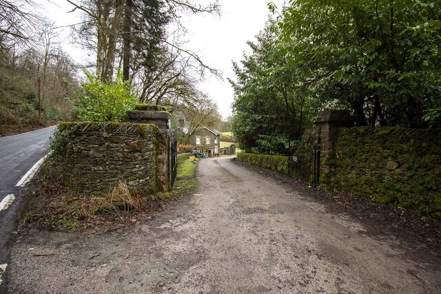
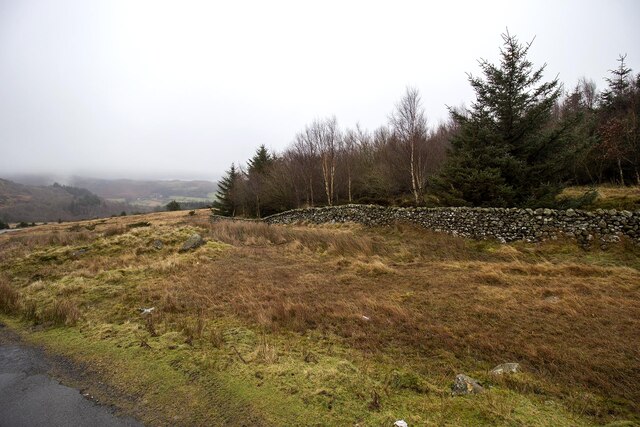
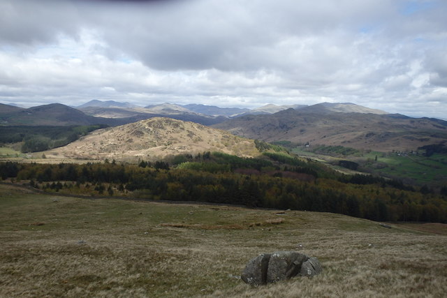
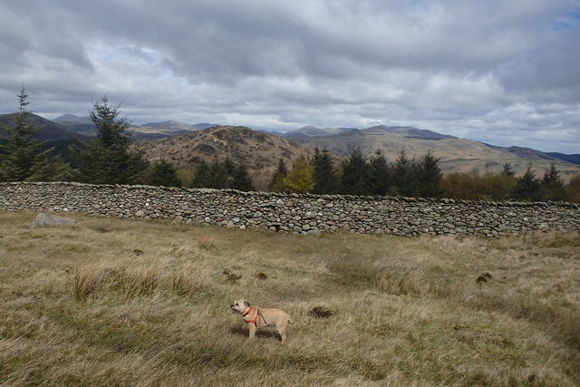
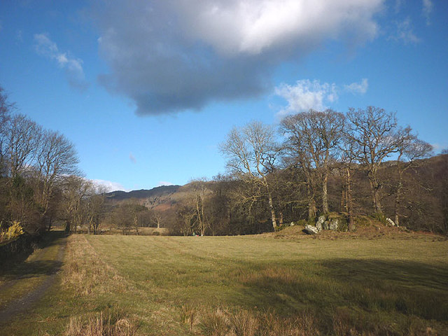
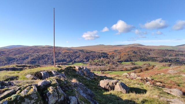
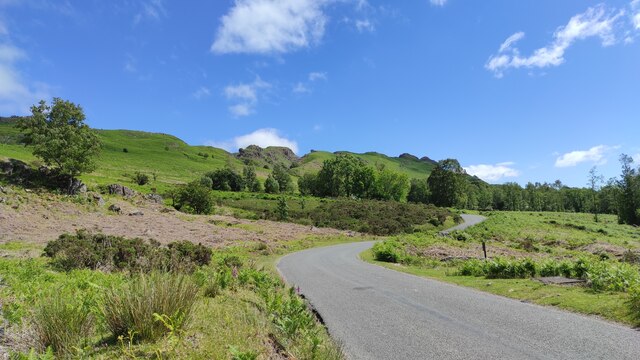
Crag Wood, located in Cumberland, is a picturesque forest that encompasses an area of approximately 200 acres. The woodland is known for its diverse flora and fauna, making it a popular destination for nature enthusiasts and hikers alike. The forest is situated on the slopes of a craggy hill, which gives it its name and adds to its unique charm.

The woodland is primarily composed of broadleaf trees, including oak, ash, and beech, which create a dense canopy that provides shade and shelter for the many species that inhabit the area. The forest floor is covered with a rich carpet of wildflowers, ferns, and mosses, adding to the vibrant and diverse ecosystem.

Crag Wood is home to a wide range of wildlife, including various bird species, such as owls, woodpeckers, and songbirds, which can be heard singing their melodious tunes throughout the day. Small mammals like squirrels, rabbits, and hedgehogs can also be spotted, along with occasional glimpses of larger mammals, including deer and foxes.

The forest features a network of well-maintained trails that wind through the woodland, allowing visitors to explore its beauty and enjoy the tranquility of nature. These paths offer stunning views of the surrounding countryside and provide opportunities for birdwatching and wildlife spotting.

Crag Wood is a designated nature reserve, managed by the local authorities to ensure the preservation of its natural habitat. It serves as an important sanctuary for many species of plants and animals, contributing to the biodiversity of the region. Whether it's a leisurely stroll or a more adventurous hike, Crag Wood offers a serene and immersive experience in the heart of Cumberland's natural splendor.

If you have any feedback on the listing, please let us know in the comments section below.
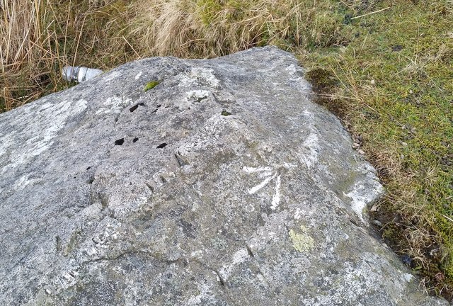
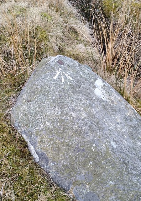
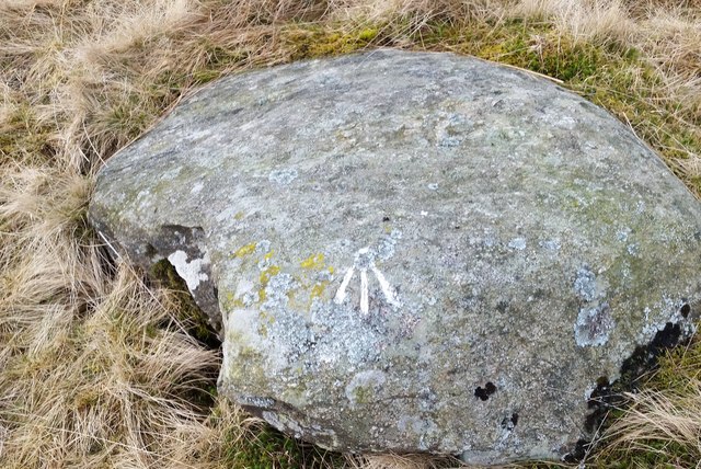
Crag Wood Images

Images are sourced within 2km of 54.304034/-3.2401595 or Grid Reference SD1990. Thanks to Geograph Open Source API. All images are credited.

Entrance to Duddon Hall
Smallthwaite Plantation
Sawmill at Beckfoot On The edge of the hamlet of Beckfoot on the delightful Ulpha Park path.
Sawmill at Beckfoot
On The edge of the hamlet of Beckfoot on the delightful Ulpha Park path.
Dry Tarn, Barrow The drought has dried up this tiny tarn. I suspect it is the same as <a href="https://www.geograph.org.uk/photo/3741119">SD1888 : Small tarn on Barrow</a>
Dry Tarn, Barrow
The drought has dried up this tiny tarn. I suspect it is the same as SD1888 : Small tarn on Barrow
On Barrow A rarely frequented top
On Barrow
A rarely frequented top
On Barrow Looks like the top
On Barrow
Looks like the top
Descending Barrow Penn, our next objective in shot
Descending Barrow
Penn, our next objective in shot
Forest Edge Under Barrow
Forest Edge
Under Barrow
Pasture by the Duddon The track from Beckfoot skirts this on the west with the Duddon flowing to Rawfold Bridge on the right.
Pasture by the Duddon
The track from Beckfoot skirts this on the west with the Duddon flowing to Rawfold Bridge on the right.
Ordnance Survey Rivet This OS rivet can be found on a boulder NE side of the road. It marks a point 128.778m above mean sea level.
Ordnance Survey Rivet
This OS rivet can be found on a boulder NE side of the road. It marks a point 128.778m above mean sea level.
Ordnance Survey Pivot This OS pivot can be found on a boulder north side of the road. It marks a point 151.068m above mean sea level.
Ordnance Survey Pivot
This OS pivot can be found on a boulder north side of the road. It marks a point 151.068m above mean sea level.
Ordnance Survey Pivot This OS pivot can be found on a boulder SE side of the road. It marks a point 170.478m above mean sea level.
Ordnance Survey Pivot
This OS pivot can be found on a boulder SE side of the road. It marks a point 170.478m above mean sea level.
Ordnance Survey Pivot This OS pivot can be found on a boulder NW side of the road. It marks a point 185.148m above mean sea level.
Ordnance Survey Pivot
This OS pivot can be found on a boulder NW side of the road. It marks a point 185.148m above mean sea level.
Ordnance Survey Pivot This OS pivot can be found on a rock north side of the road. It marks a point 204.868m above mean sea level.
Ordnance Survey Pivot
This OS pivot can be found on a rock north side of the road. It marks a point 204.868m above mean sea level.
Ordnance Survey Pivot This OS pivot can be found on a boulder SE side of the road. It marks a point 219.054m above mean sea level.
Ordnance Survey Pivot
This OS pivot can be found on a boulder SE side of the road. It marks a point 219.054m above mean sea level.
Remains of Weather Cock on Rawfold Bank, with Duddon Hall in view A "Weather Cock" is marked at this position on OS maps: 6 inch, published 1850 and 25 inch, published 1913. This iron pole is currently situated at the location. Duddon Hall can be seen in the centre of the picture.
Remains of Weather Cock on Rawfold Bank, with Duddon Hall in view
A "Weather Cock" is marked at this position on OS maps: 6 inch, published 1850 and 25 inch, published 1913. This iron pole is currently situated at the location. Duddon Hall can be seen in the centre of the picture.
Dunnerdale Fells above Stonestar There is an old postcard of this scene called "Dunnerdale Fells". This is a recent picture of the same from the same location. Peaks include Cat's Crag and Raven's Crag, and what rock-climbers call Stonestar Crag.
This picture is a reverse view of <a href="https://www.geograph.org.uk/photo/7300826">SD1992 : Duddon Valley south of Ulpha</a>.
Dunnerdale Fells above Stonestar
There is an old postcard of this scene called "Dunnerdale Fells". This is a recent picture of the same from the same location. Peaks include Cat's Crag and Raven's Crag, and what rock-climbers call Stonestar Crag. This picture is a reverse view of SD1992 : Duddon Valley south of Ulpha.
Vernacular farm buildings at Rawfold farm
Show me another place!

Crag Wood is located at Grid Ref: SD1990 (Lat: 54.304034, Lng: -3.2401595)

Administrative County: Cumbria

District: Copeland

Police Authority: Cumbria

What 3 Words

///hired.fresh.reporters. Near Millom, Cumbria

Related Wikis

Duddon Valley

The Duddon Valley is a valley in the southern Lake District National Park in Cumbria, England. The River Duddon flows through the valley, rising in the...

Dunnerdale Fells

Dunnerdale Fells is an upland area in the English Lake District, between Ulpha and Broughton Mills, Cumbria. It is the subject of a chapter of Wainwright...

Bank End

Bank End is a village in Cumbria, England. == External links == Media related to Bank End, South Lakeland at Wikimedia Commons

Great Stickle

Great Stickle is a fell located in the southern Lake District of England with an altitude of 305 m (1,001 ft). Alfred Wainwright included it in the Stickle...

Duddon furnace

The Duddon furnace (Grid Reference SD 197883) is a surviving charcoal-fuelled blast furnace near Broughton-in-Furness in Cumbria. It is on the west side...

Duddon Bridge

Duddon Bridge is a hamlet in Cumbria, England. == References ==

Broughton Mills

Broughton Mills is a village in Cumbria, England, located 3.5 kilometres from the larger town of Broughton-in-furness. The village consists of about 40...

Blacksmiths Arms, Broughton Mills

The Blacksmiths Arms is a Grade II listed public house at Broughton Mills, Cumbria, England.It is on the Campaign for Real Ale's National Inventory of...

Have you been to Crag Wood?

Leave your review of Crag Wood below (or comments, questions and feedback).