Bench Covert
Wood, Forest in Somerset Somerset West and Taunton
England
Bench Covert
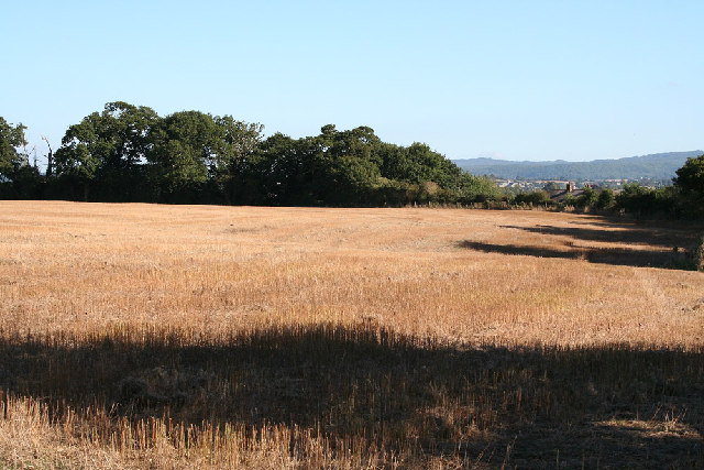
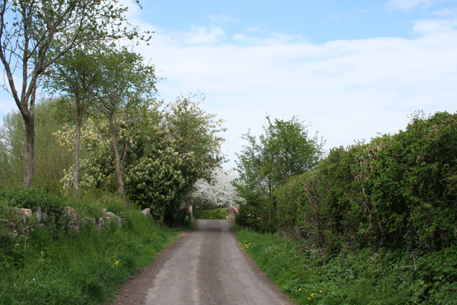
Bench Covert, Somerset, also known as Wood or Forest, is a picturesque and tranquil area located in the county of Somerset, England. Covering an area of approximately 100 acres, it is a popular destination for nature enthusiasts and those seeking a peaceful retreat from the bustle of urban life.
The forest is characterized by its dense woodland, consisting primarily of native tree species such as oak, beech, and ash. These towering trees create a dense canopy that provides shade and shelter for a wide variety of wildlife, including birds, squirrels, and deer. The forest floor is carpeted with a rich diversity of wildflowers, ferns, and mosses, creating a vibrant and colorful undergrowth.
Visitors to Bench Covert can explore the forest via a network of well-maintained walking trails, allowing them to immerse themselves in the natural beauty of the surroundings. The trails meander through the woodland, passing by babbling brooks, peaceful ponds, and secluded clearings where one can relax and take in the serene atmosphere.
The forest also offers several amenities for visitors, including picnic areas, benches, and information boards providing details about the flora and fauna found in the area. Additionally, guided tours and educational programs are available for those interested in learning more about the forest's ecology and conservation efforts.
Bench Covert, Somerset, is a true haven for nature lovers, providing an opportunity to reconnect with the natural world and appreciate the beauty of the Somerset countryside. Whether it's a leisurely stroll through the woodland or a quiet picnic amidst the trees, visitors are sure to find solace and tranquility in this enchanting forest.
If you have any feedback on the listing, please let us know in the comments section below.
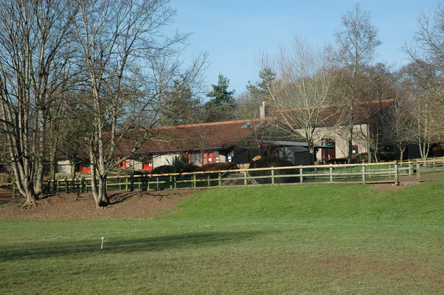
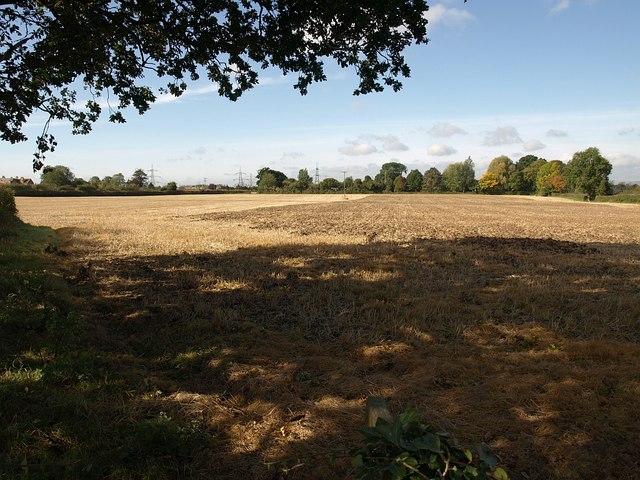
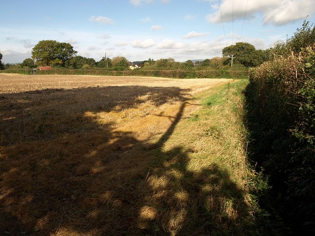
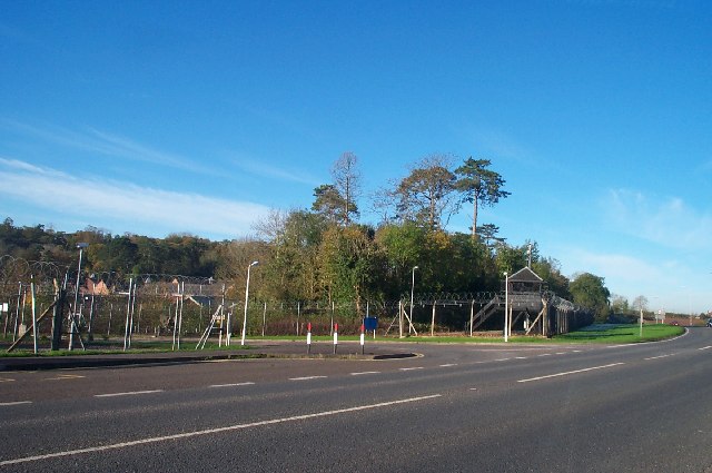
Bench Covert Images
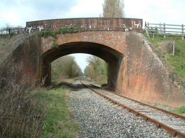
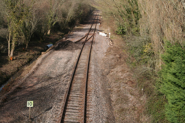
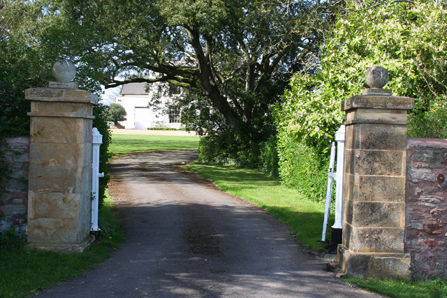
Images are sourced within 2km of 51.034806/-3.150878 or Grid Reference ST1926. Thanks to Geograph Open Source API. All images are credited.


Bench Covert is located at Grid Ref: ST1926 (Lat: 51.034806, Lng: -3.150878)
Administrative County: Somerset
District: Somerset West and Taunton
Police Authority: Avon and Somerset
What 3 Words
///spider.type.pass. Near Bishops Lydeard, Somerset
Nearby Locations
Related Wikis
Norton Manor Camp
Norton Manor Camp, or RM Norton Manor, is a Royal Marines base located near Norton Fitzwarren, 2 miles (3.2 km) north west of Taunton, Somerset, in England...
Norton Camp
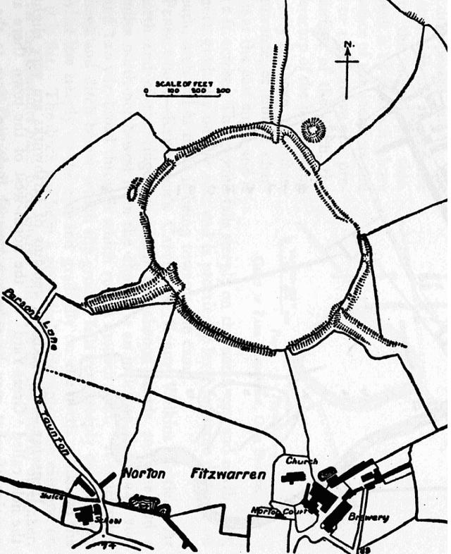
Norton Camp is a Bronze Age hill fort at Norton Fitzwarren near Taunton in Somerset, England. == Background == Hill forts developed in the Late Bronze...

40 Commando
40 Commando RM is a battalion-sized formation of the British Royal Marines and subordinate unit within 3 Commando Brigade, the principal Commando formation...

Church of All Saints, Norton Fitzwarren
The Church of All Saints is an Anglican church in Norton Fitzwarren, Somerset, England, which dates from the late 13th or early 14th century. It is located...
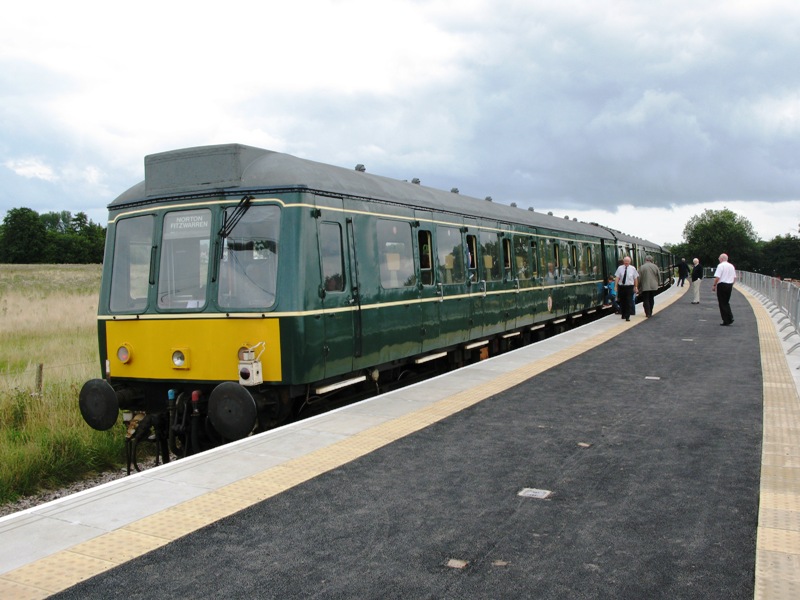
Norton Fitzwarren railway station
Norton Fitzwarren railway station is an untimetabled station on the West Somerset Railway in Somerset, England. It was built in 2009 about 1⁄4 mile (0...
Norton Fitzwarren
Norton Fitzwarren is a village, electoral ward, and civil parish in Somerset, England, situated 2 miles (3.2 km) north west of Taunton. The village has...
1940 Norton Fitzwarren rail crash
The Norton Fitzwarren rail crash occurred on 4 November 1940 between Taunton and Norton Fitzwarren in the English county of Somerset, when the driver of...

Somerset Archives and Local Studies
The Somerset Archives and Local Studies holds the archives for the county of Somerset, England. The archives are held at Brunel Way, Langford Mead, Norton...
Nearby Amenities
Located within 500m of 51.034806,-3.150878Have you been to Bench Covert?
Leave your review of Bench Covert below (or comments, questions and feedback).