Cliffburn
Settlement in Angus
Scotland
Cliffburn
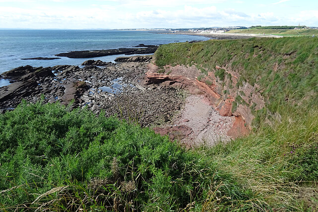
Cliffburn is a small residential area located in the town of Arbroath, in the county of Angus, Scotland. Situated on the eastern coast of the country, Cliffburn is nestled between the North Sea to the east and the town center of Arbroath to the west.
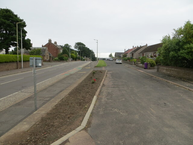
The area is primarily residential, with a mix of housing styles ranging from traditional stone-built houses to more modern constructions. Many of the properties in Cliffburn offer beautiful views of the sea, making it an attractive place to live for those seeking a coastal lifestyle.
Cliffburn benefits from its proximity to the town center, which is just a short walk away. Arbroath offers a range of amenities including shops, restaurants, schools, and recreational facilities. The famous Arbroath Abbey, a historical landmark dating back to the 12th century, is also nearby.
In terms of transportation, Cliffburn is well-connected. The area is served by several bus routes, providing easy access to other parts of Arbroath and surrounding areas. The town's train station is within walking distance, offering regular services to Dundee, Edinburgh, and Aberdeen.
With its picturesque coastal setting and convenient location, Cliffburn provides residents with a peaceful and scenic place to call home, while still offering easy access to urban amenities and transportation links.
If you have any feedback on the listing, please let us know in the comments section below.
Cliffburn Images
Images are sourced within 2km of 56.566452/-2.568825 or Grid Reference NO6541. Thanks to Geograph Open Source API. All images are credited.


Cliffburn is located at Grid Ref: NO6541 (Lat: 56.566452, Lng: -2.568825)
Unitary Authority: Angus
Police Authority: Tayside
What 3 Words
///wacky.ritual.violin. Near Arbroath, Angus
Nearby Locations
Related Wikis
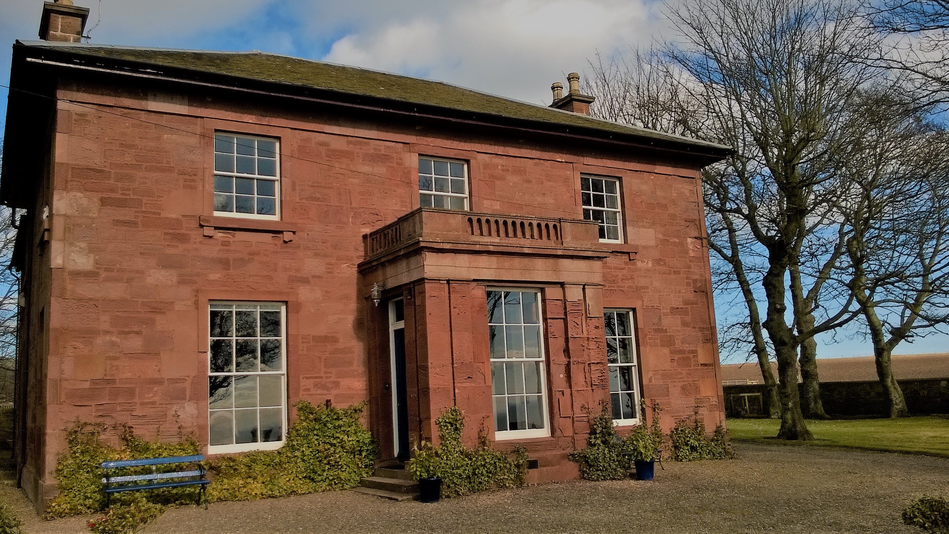
West Seaton House
West Seaton House is a listed building of late Regency design, situated approximately one mile (1.6 km) to the east of Arbroath in the parish of St. Vigeans...

Church of St Mary the Virgin, Arbroath
The Church of St Mary the Virgin is a Scottish Episcopal Church, in Arbroath, Angus, Scotland. It is part of the Diocese of Brechin. == Church building... ==
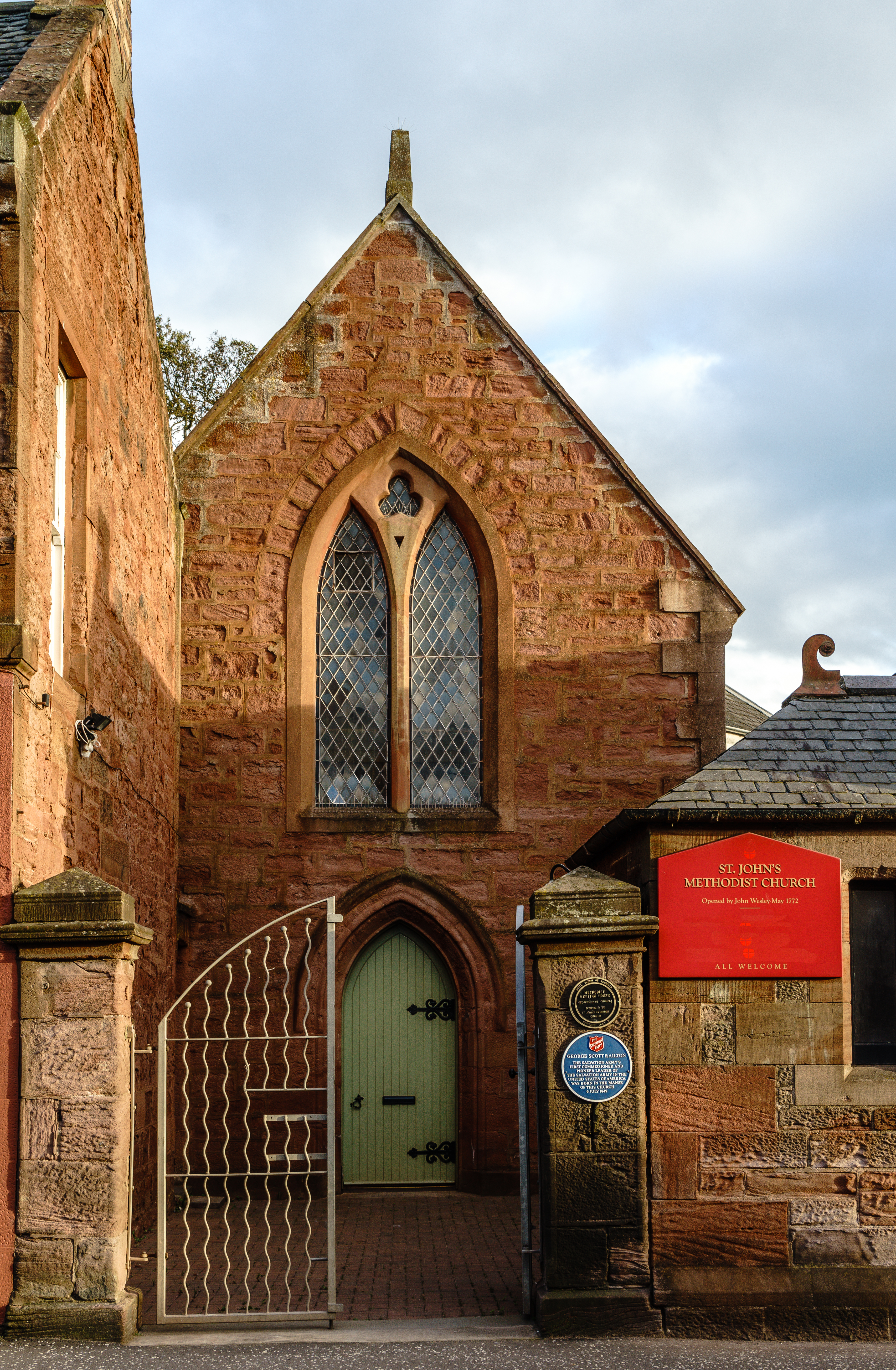
St John's Methodist Church, Arbroath
St John's Methodist Church, on Ponderlaw Street, Arbroath, Scotland, was founded by John Wesley on 6 May 1772. The nave is octagonal and the church has...
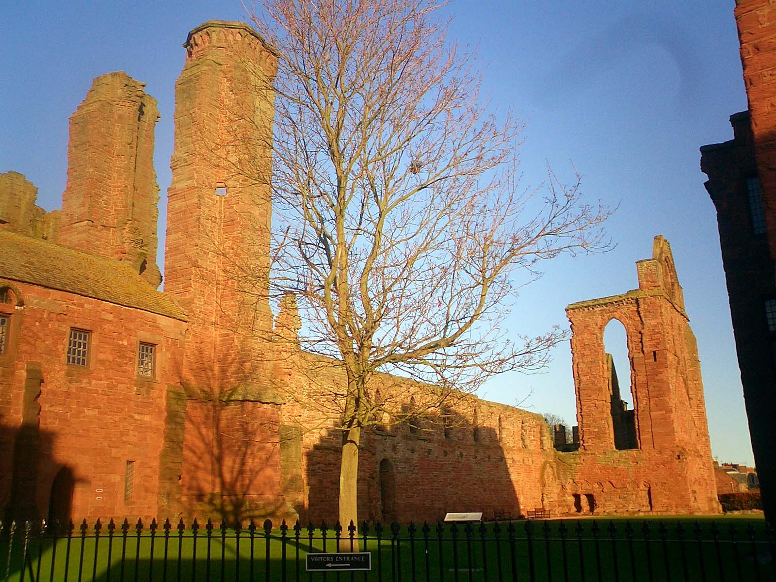
Arbroath Abbey
Arbroath Abbey, in the Scottish town of Arbroath, was founded in 1178 by King William the Lion for a group of Tironensian Benedictine monks from Kelso...

St Andrew's Parish Church, Arbroath
St Andrew's Parish Church is a congregation of the Church of Scotland located in Arbroath, Angus, Scotland. The church building was constructed in the...

Arbroath Town House
Arbroath Town House is a municipal building in the High Street, Arbroath, Scotland. The town house, which was the headquarters of Arbroath Burgh Council...

Corn Exchange, Arbroath
The Corn Exchange is a commercial building in the Market Place, Arbroath, Angus, Scotland. The structure, which is now used as a public house, is a Category...

Arbroath
Arbroath () or Aberbrothock (Scottish Gaelic: Obar Bhrothaig [ˈopəɾ ˈvɾo.ɪkʲ]) is a former royal burgh and the largest town in the council area of Angus...
Nearby Amenities
Located within 500m of 56.566452,-2.568825Have you been to Cliffburn?
Leave your review of Cliffburn below (or comments, questions and feedback).