Blackmore's Copse
Wood, Forest in Somerset Somerset West and Taunton
England
Blackmore's Copse
Blackmore's Copse is a picturesque woodland located in Somerset, England. Nestled in the heart of the countryside, this enchanting copse is a haven for nature lovers and those seeking tranquility amidst the beauty of the outdoors.
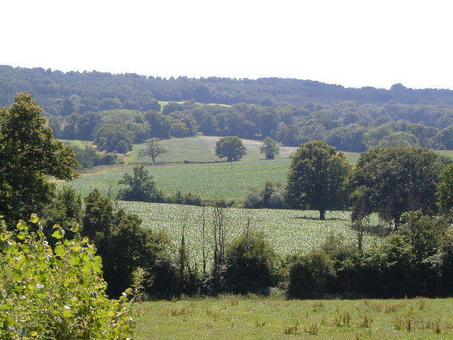
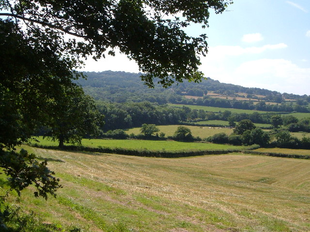
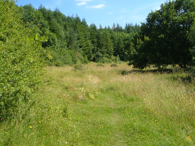
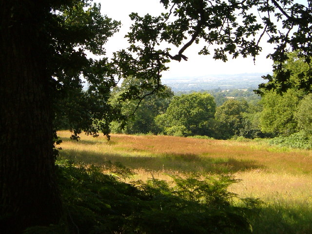
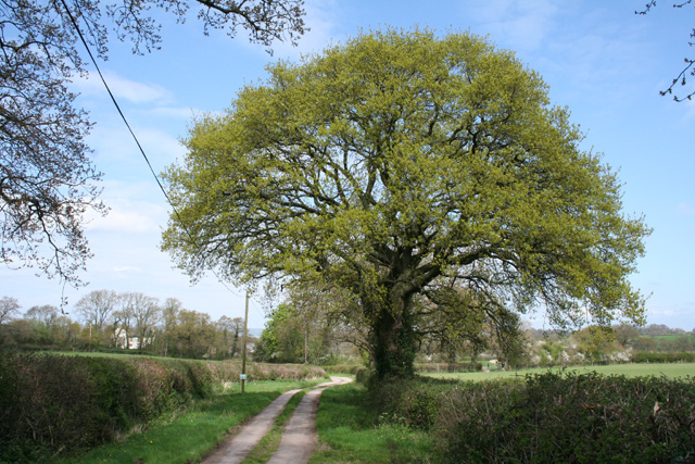
Covering an area of approximately 20 acres, Blackmore's Copse is predominantly composed of native broadleaf trees, including oak, ash, and beech. The copse boasts a dense canopy, which provides shade and a sense of seclusion, making it an ideal spot for leisurely walks and picnics. The forest floor is carpeted with a diverse array of wildflowers, such as bluebells and primroses, which create a vibrant and colorful display during the spring and summer months.
The copse is home to a rich variety of wildlife, including deer, badgers, and a myriad of bird species. Nature enthusiasts can often spot woodpeckers, owls, and various songbirds flitting among the trees, while lucky visitors may even catch a glimpse of a red squirrel darting through the undergrowth.
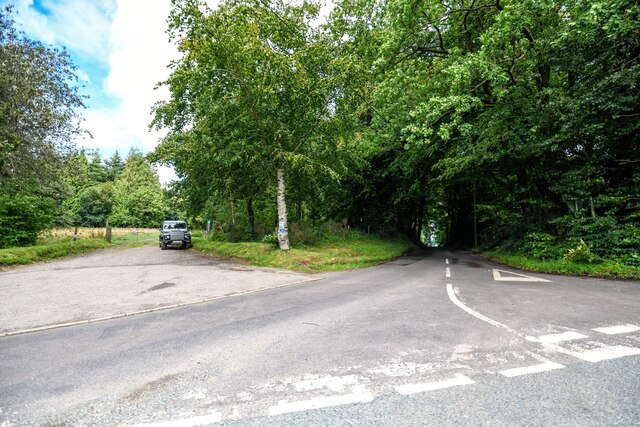
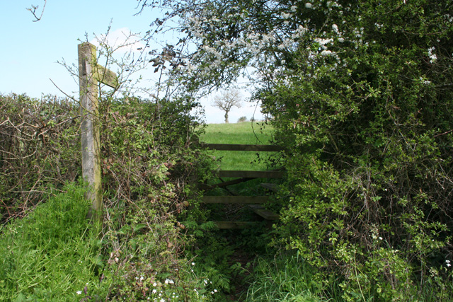
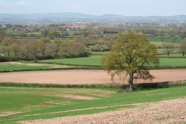
Accessible via well-maintained footpaths, Blackmore's Copse offers visitors the opportunity to explore its beauty at their own pace. Benches and picnic areas are scattered throughout the woodland, providing peaceful spots to rest and take in the serene surroundings. The copse is also a popular location for photographers and artists, who are drawn to its idyllic scenery and ever-changing colors throughout the seasons.
Blackmore's Copse is a natural gem, offering a peaceful retreat from the hustle and bustle of everyday life. Its natural beauty and abundant wildlife make it a must-visit destination for anyone seeking a true connection with nature.
If you have any feedback on the listing, please let us know in the comments section below.
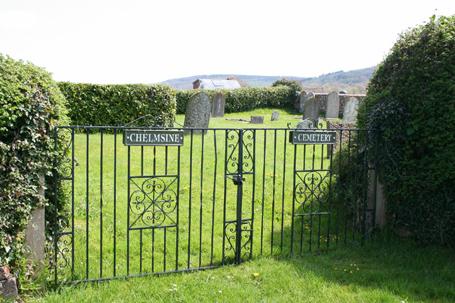
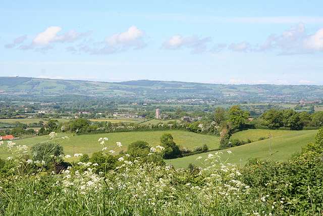
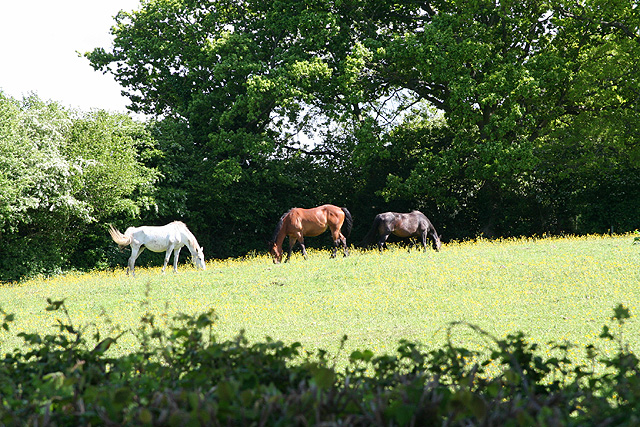
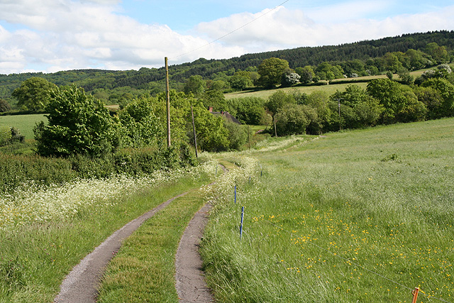
Blackmore's Copse Images
Images are sourced within 2km of 50.955644/-3.1617349 or Grid Reference ST1818. Thanks to Geograph Open Source API. All images are credited.


Blackmore's Copse is located at Grid Ref: ST1818 (Lat: 50.955644, Lng: -3.1617349)
Administrative County: Somerset
District: Somerset West and Taunton
Police Authority: Avon and Somerset
What 3 Words
///suiting.radiated.overheat. Near Hemyock, Devon
Nearby Locations
Related Wikis

Quants Reserve
Quants Reserve is a nature reserve north west of Burnworthy in Somerset, England. It consists of a grassland clearing in a forestry plantation. It is well...

Leigh Reservoir
Leigh Reservoir, or Leigh Hill Reservoir, is a small reservoir in Somerset, England. It was built in 1893 to supply water to the town of Taunton, Somerset...

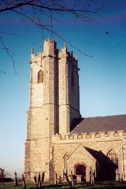
Church of St Michael, Angersleigh
The Anglican Church of St Michael in Angersleigh, Somerset, England was built in the 14th century. It is a Grade II* listed building. == History == The...

Luxhay Reservoir
Luxhay Reservoir is an artificial reservoir near Angersleigh, Somerset, England. It is now owned by Wessex Water. It was built in 1905 by the town corporation...
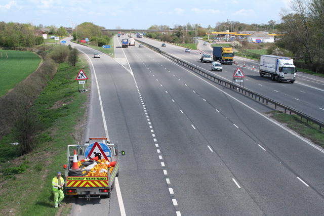
Taunton Deane services
Taunton Deane services is a double sided motorway service station on the M5 motorway near Taunton, England. It is owned by Roadchef. == Location == The...

Ringdown SSSI, Somerset
Ringdown (grid reference ST178155) is a 4.0 hectare (9.9 acre) biological Site of Special Scientific Interest west of Burnworthy in the Blackdown Hills...
West Buckland
West Buckland is a village and civil parish in Somerset, England, situated 5 miles (8.0 km) south west of Taunton. The parish has a population of 1,189...
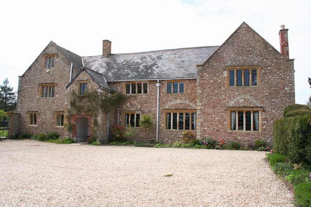
Gerbestone Manor
Gerbestone Manor in West Buckland, Somerset, England was largely rebuilt in the late 16th century, although some fabric from the 13th century house remains...
Nearby Amenities
Located within 500m of 50.955644,-3.1617349Have you been to Blackmore's Copse?
Leave your review of Blackmore's Copse below (or comments, questions and feedback).