Cliaid

Settlement in Inverness-shire

Scotland

Cliaid

Tràigh Tuath The mouth of the short Allt Ruadh is just seen on the left as it flows into the sea.
Tràigh Tuath Credit: John Lucas

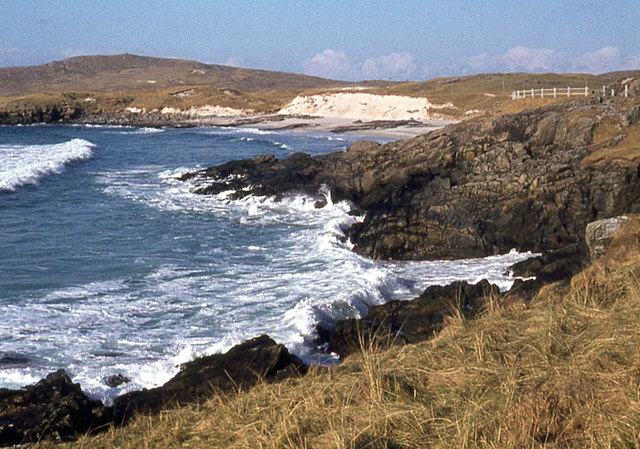
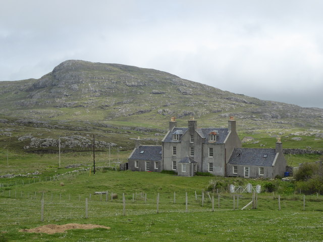
Cliaid is a small village located in Inverness-shire, a historic county in the Scottish Highlands. Situated in the northern part of Scotland, Cliaid is surrounded by breathtaking natural beauty, with rolling hills, rugged mountains, and picturesque lochs dotting the landscape.

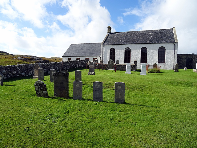
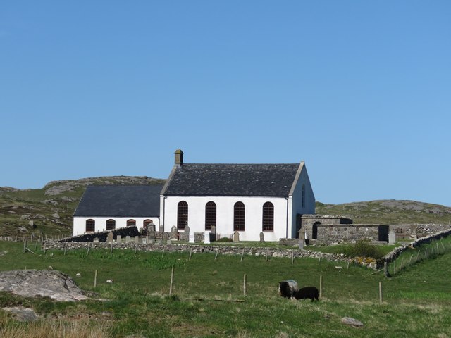
With a population of around 300 people, Cliaid is a close-knit community that exudes a warm and welcoming atmosphere. The village is characterized by its charming stone houses and traditional buildings, which give it a timeless and authentic feel.

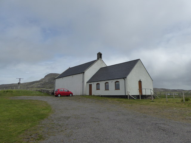
Despite its small size, Cliaid offers a range of amenities to its residents and visitors. The village is home to a local pub, where locals often gather to socialize and enjoy a pint of ale or a hearty meal. There is also a small convenience store that caters to the everyday needs of the community.

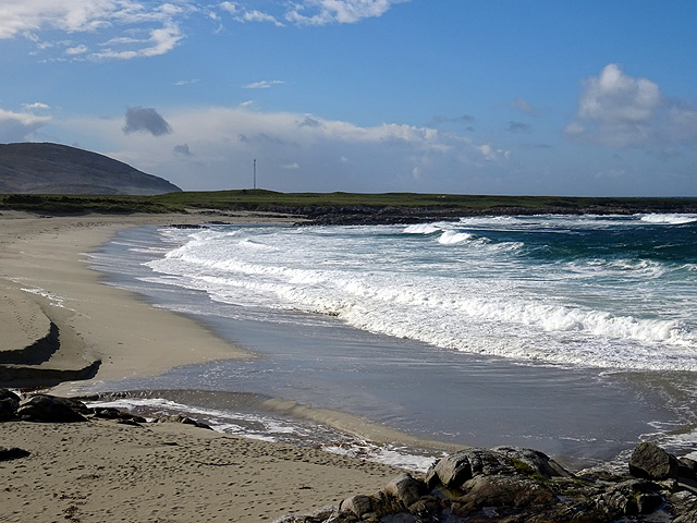
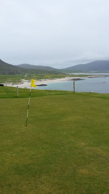
For outdoor enthusiasts, Cliaid is a paradise. The village acts as a gateway to the Scottish Highlands, offering numerous opportunities for hiking, mountain biking, and wildlife spotting. The nearby Loch Ness, famous for its mythical creature, the Loch Ness Monster, is a popular attraction for tourists and locals alike.

While Cliaid may be a peaceful and secluded village, it is conveniently located within driving distance of larger towns and cities. The city of Inverness is just a short distance away, providing access to a wider range of amenities, including shops, restaurants, and cultural attractions.

Overall, Cliaid is a hidden gem in the Scottish Highlands, offering a tranquil and idyllic setting for those seeking a peaceful retreat in the midst of stunning natural surroundings.

If you have any feedback on the listing, please let us know in the comments section below.
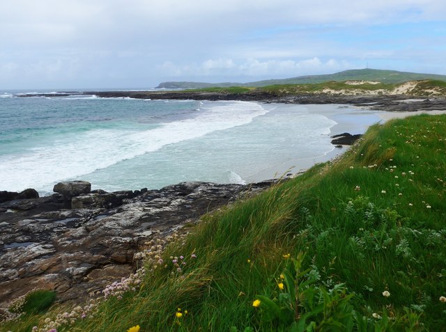
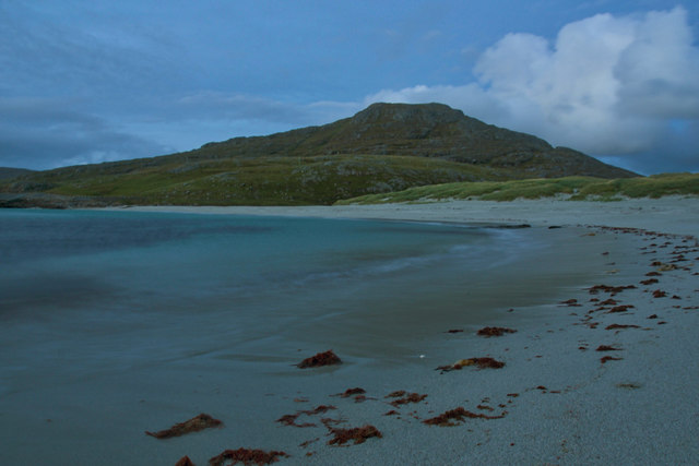
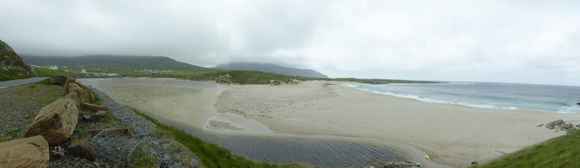
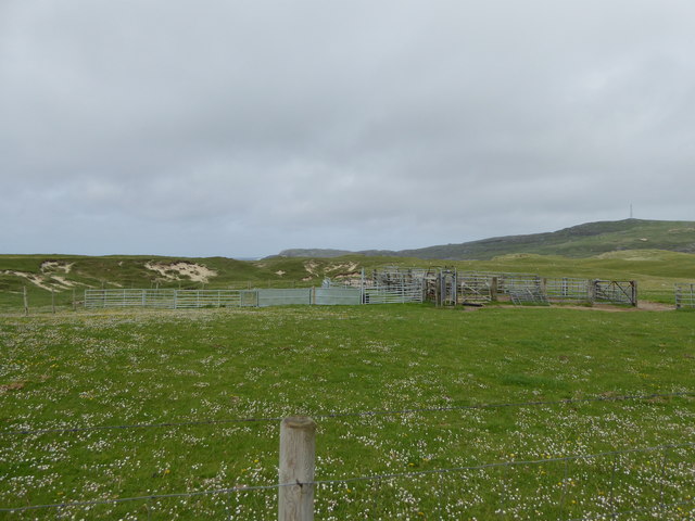
Cliaid Images

Images are sourced within 2km of 57.005862/-7.5039148 or Grid Reference NF6604. Thanks to Geograph Open Source API. All images are credited.

Tràigh Tuath The mouth of the short Allt Ruadh is just seen on the left as it flows into the sea.
Tràigh Tuath
The mouth of the short Allt Ruadh is just seen on the left as it flows into the sea.
Cemetery at Cuidhir The cemetery contains several Commonwealth War Graves of naval origins. The stories of some of the casualties can be found in the descriptions of the following images:
<a href="https://www.geograph.org.uk/photo/4513717">NF6703 : Four war graves in Cuidhir Cemetery</a>
<a href="https://www.geograph.org.uk/photo/4514731">NF6703 : Three war graves in Cuidhir Cemetery</a>
<a href="https://www.geograph.org.uk/photo/4676860">NF6703 : Memorial to 3 crew members of SS Idomeneus</a>
<a href="https://www.geograph.org.uk/photo/4676877">NF6703 : Commonwealth war grave of John Mackinnon</a>
Cemetery at Cuidhir
The cemetery contains several Commonwealth War Graves of naval origins. The stories of some of the casualties can be found in the descriptions of the following images: NF6703 : Four war graves in Cuidhir Cemetery NF6703 : Three war graves in Cuidhir Cemetery NF6703 : Memorial to 3 crew members of SS Idomeneus NF6703 : Commonwealth war grave of John Mackinnon
Memorial to 3 crew members of SS Idomeneus Chan Sung, Chung Cheong and Leong Kow were members of the crew of SS Idomeneus which was torpedoed on 15th September 1917 en-route from New York to Liverpool. Although the ship was not sunk, the explosion caused the death of 4 crew members, 3 of whom are commemorated here. The ship was beached on Vatersay, eventually repaired and renamed, it continued sailing until 1933.
Memorial to 3 crew members of SS Idomeneus
Chan Sung, Chung Cheong and Leong Kow were members of the crew of SS Idomeneus which was torpedoed on 15th September 1917 en-route from New York to Liverpool. Although the ship was not sunk, the explosion caused the death of 4 crew members, 3 of whom are commemorated here. The ship was beached on Vatersay, eventually repaired and renamed, it continued sailing until 1933.
Commonwealth war grave of John Mackinnon John Mackinnon was a member of the Royal Naval Reserve and a 2nd hand on HMS Balmoral Castle which was a hired trawler during WWI. He was a native of Barra and hailed from nearby Allasdale.

John died of illness on Christmas Day 1918 at the age of 22.
Commonwealth war grave of John Mackinnon
John Mackinnon was a member of the Royal Naval Reserve and a 2nd hand on HMS Balmoral Castle which was a hired trawler during WWI. He was a native of Barra and hailed from nearby Allasdale. John died of illness on Christmas Day 1918 at the age of 22.
Tràigh Hamara, Barra
Cuidhir Church, Barra
Dun Chuidhir, Barra Situated on the west side of the island, this dun is quite well preserved.
Dun Chuidhir, Barra
Situated on the west side of the island, this dun is quite well preserved.
Cemetery at Allasdale
Traigh Hamara
Traigh Hamara
Tràigh Tuath
Tràigh Tuath
Not quite a lagoon at Borgh Here a sand bar almost closes the mouth of the Abhainn Mòr creating what is almost a tidal lagoon.   Although not visible in this picture, the flow of the river maintains a channel to the sea.
Not quite a lagoon at Borgh
Here a sand bar almost closes the mouth of the Abhainn Mòr creating what is almost a tidal lagoon. Although not visible in this picture, the flow of the river maintains a channel to the sea.
Fank at Allathasdal
Fank at Allathasdal
Manse at Cuidhir
Manse at Cuidhir
Church at Cuidhir
Church at Cuidhir
Barra golf course The golf course has all of its greens protected by fencing from the roaming cattle!
Barra golf course
The golf course has all of its greens protected by fencing from the roaming cattle!
Cattle on machair at Allathasdal
Traigh Tuath at Borve, Barra The prominent hill is Beinn Tangabhal which was climbed during our stay on Barra but the summit was in thick cloud.
Traigh Tuath at Borve, Barra
The prominent hill is Beinn Tangabhal which was climbed during our stay on Barra but the summit was in thick cloud.
Coastal scenery on Aird Ghrein, Barra
Show me another place!

Cliaid is located at Grid Ref: NF6604 (Lat: 57.005862, Lng: -7.5039148)

Unitary Authority: Na h-Eileanan an Iar

Police Authority: Highlands and Islands

What 3 Words

///decoding.pixies.suppose. Near CastleBay, Na h-Eileanan Siar

Nearby Locations

Cleit Cliaid Cleat

Related Wikis

Allasdale

Allasdale (Scottish Gaelic: Athalasdal, pronounced [ˈa.əl̪ˠəs̪t̪əl̪ˠ]) is a settlement on Barra in the Outer Hebrides, Scotland. The settlement is also...

Isle of Barra distillery

Isle of Barra distillery at Borve, Barra, Scotland is a planned future whisky distillery on Barra. The Barra Distillery company was founded in 2003 but...

Borve, Barra

Borve (Scottish Gaelic: Borgh) is a village on the west coast of the island of Barra in the Outer Hebrides, Scotland. Borve is within the parish of Barra...

Barra

Barra (; Scottish Gaelic: Barraigh [ˈparˠaj] or Eilean Bharraigh [ˈelan ˈvarˠaj] ; Scots: Barra) is an island in the Outer Hebrides, Scotland, and the...
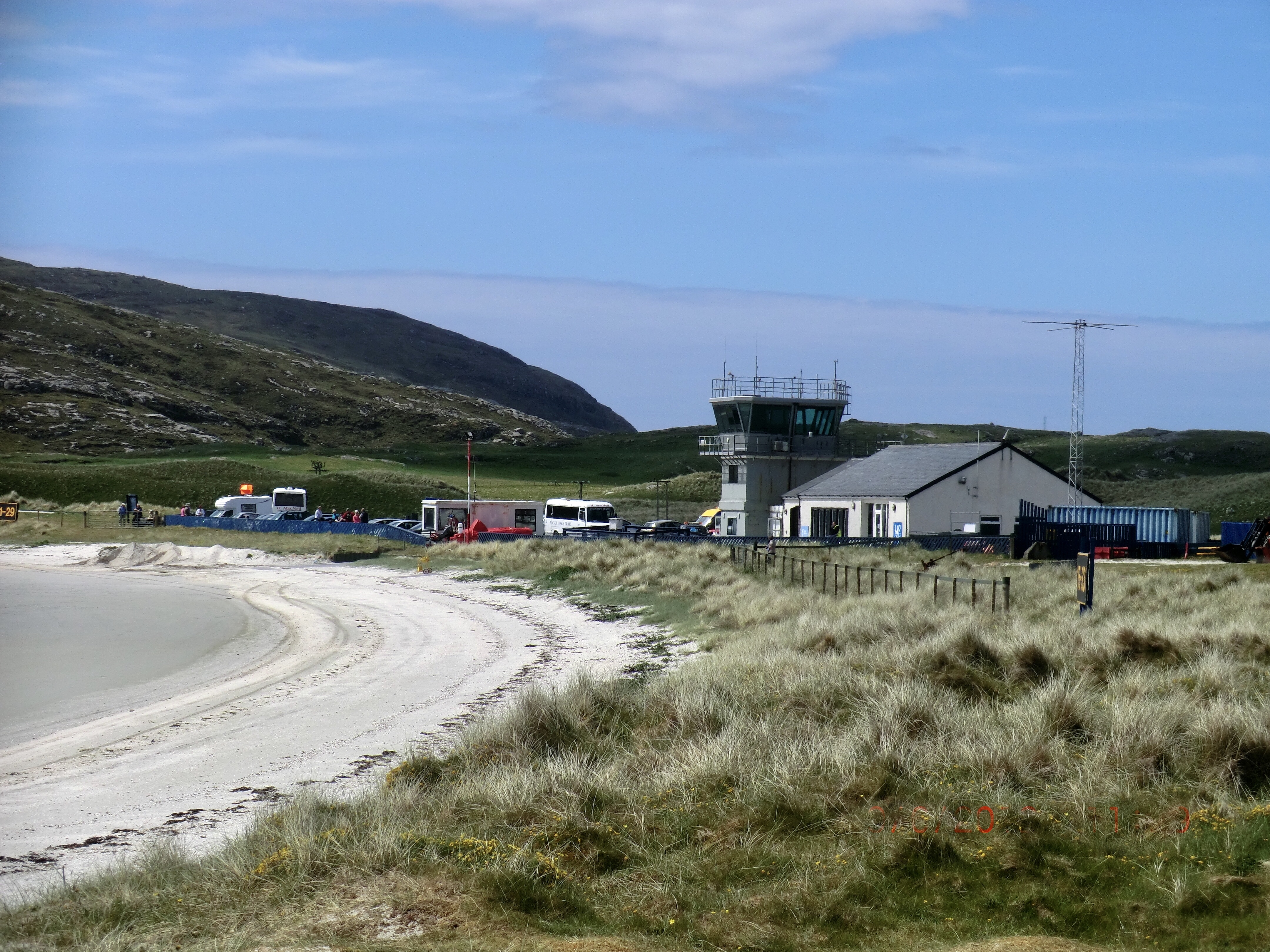
Barra Airport

Barra Airport (Scottish Gaelic: Port-adhair Bharraigh) (IATA: BRR, ICAO: EGPR) (also known as Barra Eoligarry Airport) is a short-runway airport (or STOLport...

Northbay

Northbay (Scottish Gaelic: Am Bàgh a Tuath) is a township and community in the north of Barra in the Outer Hebrides, off the west coast of Scotland. Northbay...

Traigh Mhòr

The Tràigh Mhòr, in English 'Big Beach', is a large expanse of sand forming a magnificent white beach at the northern end of the island of Barra in the...

Heaval

Heaval is the highest hill on the Outer Hebridean island of Barra, Scotland. The highest point is 383 metres high above sea level and it is located 1.5...

Nearby Amenities

Located within 500m of 57.005862,-7.5039148
Passing Place
Lat/Long: 57.0054651/-7.4997408
Noexit: yes
Lat/Long: 57.0049496/-7.496259
Passing Place
Lat/Long: 57.0050544/-7.4965794
Passing Place
Lat/Long: 57.0069976/-7.5004369
Passing Place
Lat/Long: 57.0074738/-7.5004928
Barrier: kissing_gate
Lat/Long: 57.0025781/-7.4992627
Barrier: kissing_gate
Lat/Long: 57.0040564/-7.4997991
Barrier: kissing_gate
Lat/Long: 57.0052753/-7.4995618
Power: pole
Lat/Long: 57.0045085/-7.4983527
Power: pole
Lat/Long: 57.0039769/-7.4981958
Power: pole
Lat/Long: 57.0038761/-7.4967313
Material: wood
Power: pole
Lat/Long: 57.0022313/-7.4994654
Material: wood
Power: pole
Lat/Long: 57.00255/-7.4992997
Material: wood
Power: pole
Lat/Long: 57.0031986/-7.4990288
Material: wood
Power: pole
Lat/Long: 57.0035127/-7.4979988
Barrier: cattle_grid
Lat/Long: 57.0082524/-7.4998219
Passing Place
Lat/Long: 57.0063526/-7.4992834
Barrier: entrance
Foot: yes
Lat/Long: 57.0021874/-7.500248
Barrier: cattle_grid
Lat/Long: 57.0064797/-7.499565
Power: pole
Lat/Long: 57.0087621/-7.4976428
Power: pole
Lat/Long: 57.0087931/-7.4982869
Barrier: kissing_gate
Lat/Long: 57.0081664/-7.5016617
Barrier: kissing_gate
Lat/Long: 57.0076359/-7.5035464
Barrier: kissing_gate
Lat/Long: 57.0088886/-7.5004139
Barrier: kissing_gate
Lat/Long: 57.0090862/-7.5008978
Barrier: kissing_gate
Lat/Long: 57.0076885/-7.5093883
Barrier: kissing_gate
Lat/Long: 57.0090479/-7.5075346
Barrier: kissing_gate
Lat/Long: 57.0090003/-7.5040071
The data included in this document is from www.openstreetmap.org. The data is made available under ODbL.

Have you been to Cliaid?

Leave your review of Cliaid below (or comments, questions and feedback).