Cleat

Settlement in Inverness-shire

Scotland

Cleat

Cemetery at Cuidhir The cemetery contains several Commonwealth War Graves of naval origins. The stories of some of the casualties can be found in the descriptions of the following images:
<a href="https://www.geograph.org.uk/photo/4513717">NF6703 : Four war graves in Cuidhir Cemetery</a>
<a href="https://www.geograph.org.uk/photo/4514731">NF6703 : Three war graves in Cuidhir Cemetery</a>
<a href="https://www.geograph.org.uk/photo/4676860">NF6703 : Memorial to 3 crew members of SS Idomeneus</a>
<a href="https://www.geograph.org.uk/photo/4676877">NF6703 : Commonwealth war grave of John Mackinnon</a>
Cemetery at Cuidhir Credit: John Lucas

Cleat is a small village situated in Inverness-shire, Scotland. It is located in the western part of the county, near the banks of the River Moriston. The village is nestled amidst stunning natural beauty, surrounded by picturesque landscapes and rolling hills.

With a population of around 200 residents, Cleat exudes a quaint and peaceful atmosphere. It is an ideal destination for those seeking a tranquil retreat away from the hustle and bustle of city life. The village primarily consists of traditional stone houses, adding to its charm and character.

Despite its small size, Cleat offers several amenities to its residents and visitors. There is a local pub where one can enjoy a pint of ale or indulge in some hearty Scottish cuisine. Additionally, a small convenience store caters to the basic needs of the community.

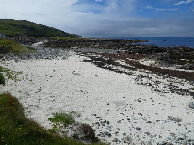
Outdoor enthusiasts will find Cleat to be a paradise. The village serves as a gateway to the Scottish Highlands, offering numerous opportunities for hiking, fishing, and wildlife spotting. The nearby Glen Affric, with its ancient Caledonian pine forests and stunning lochs, is a must-visit for nature lovers.

Cleat's location also makes it a convenient base for exploring other attractions in Inverness-shire. The iconic Loch Ness is just a short drive away, and the city of Inverness itself is within reasonable distance, offering a range of cultural and historical sites.

In summary, Cleat is a charming village in Inverness-shire, Scotland, known for its natural beauty, peaceful atmosphere, and proximity to outdoor recreational opportunities. It is an idyllic destination for those seeking tranquility and a connection with nature.

If you have any feedback on the listing, please let us know in the comments section below.
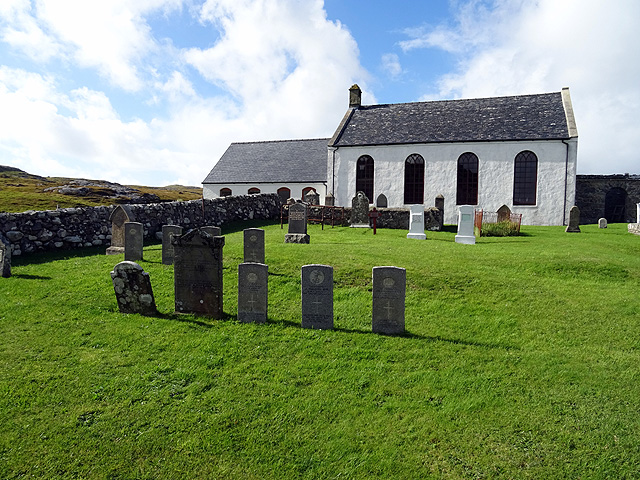
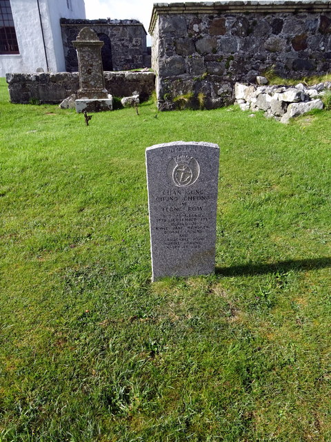
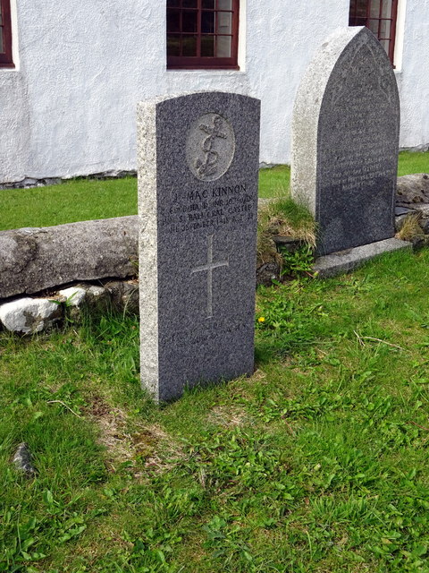
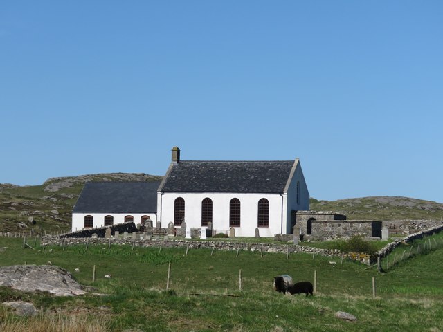
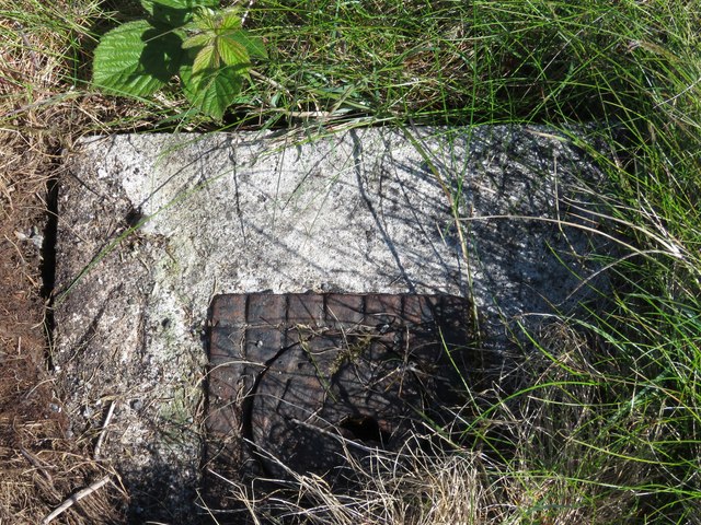
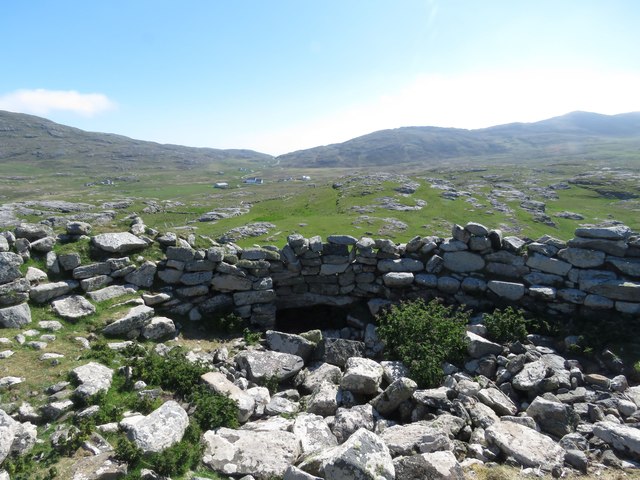
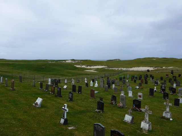
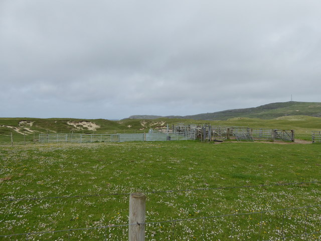
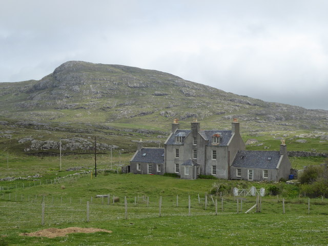
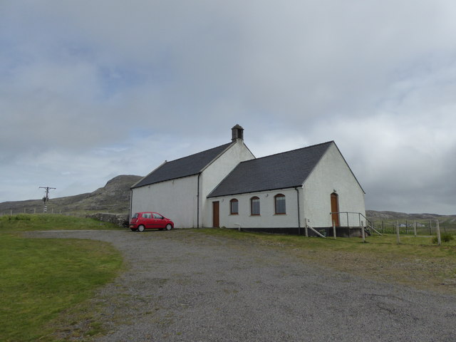
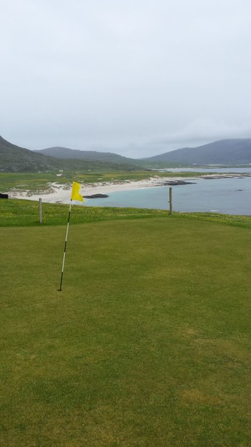
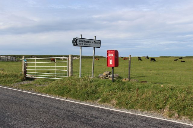
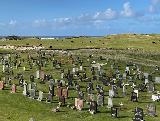
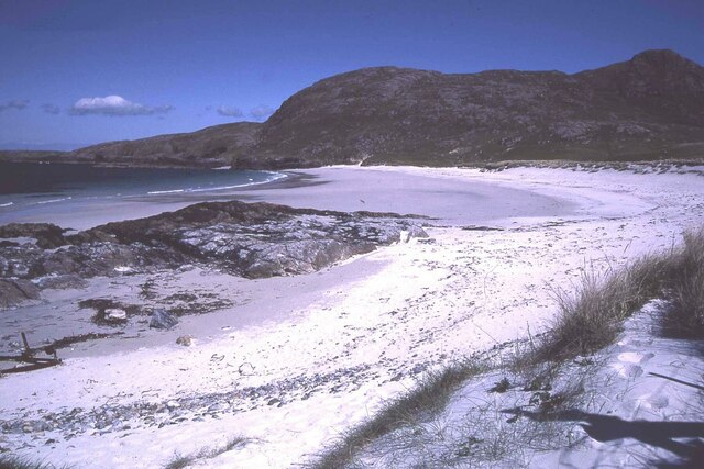
Cleat Images

Images are sourced within 2km of 57.011895/-7.490357 or Grid Reference NF6604. Thanks to Geograph Open Source API. All images are credited.

Cemetery at Cuidhir The cemetery contains several Commonwealth War Graves of naval origins. The stories of some of the casualties can be found in the descriptions of the following images:
<a href="https://www.geograph.org.uk/photo/4513717">NF6703 : Four war graves in Cuidhir Cemetery</a>
<a href="https://www.geograph.org.uk/photo/4514731">NF6703 : Three war graves in Cuidhir Cemetery</a>
<a href="https://www.geograph.org.uk/photo/4676860">NF6703 : Memorial to 3 crew members of SS Idomeneus</a>
<a href="https://www.geograph.org.uk/photo/4676877">NF6703 : Commonwealth war grave of John Mackinnon</a>
Cemetery at Cuidhir
The cemetery contains several Commonwealth War Graves of naval origins. The stories of some of the casualties can be found in the descriptions of the following images: NF6703 : Four war graves in Cuidhir Cemetery NF6703 : Three war graves in Cuidhir Cemetery NF6703 : Memorial to 3 crew members of SS Idomeneus NF6703 : Commonwealth war grave of John Mackinnon
Memorial to 3 crew members of SS Idomeneus Chan Sung, Chung Cheong and Leong Kow were members of the crew of SS Idomeneus which was torpedoed on 15th September 1917 en-route from New York to Liverpool. Although the ship was not sunk, the explosion caused the death of 4 crew members, 3 of whom are commemorated here. The ship was beached on Vatersay, eventually repaired and renamed, it continued sailing until 1933.
Memorial to 3 crew members of SS Idomeneus
Chan Sung, Chung Cheong and Leong Kow were members of the crew of SS Idomeneus which was torpedoed on 15th September 1917 en-route from New York to Liverpool. Although the ship was not sunk, the explosion caused the death of 4 crew members, 3 of whom are commemorated here. The ship was beached on Vatersay, eventually repaired and renamed, it continued sailing until 1933.
Commonwealth war grave of John Mackinnon John Mackinnon was a member of the Royal Naval Reserve and a 2nd hand on HMS Balmoral Castle which was a hired trawler during WWI. He was a native of Barra and hailed from nearby Allasdale.

John died of illness on Christmas Day 1918 at the age of 22.
Commonwealth war grave of John Mackinnon
John Mackinnon was a member of the Royal Naval Reserve and a 2nd hand on HMS Balmoral Castle which was a hired trawler during WWI. He was a native of Barra and hailed from nearby Allasdale. John died of illness on Christmas Day 1918 at the age of 22.
Cuidhir Church, Barra
Rivet on fire hydrant surround, near Cuidhir, Barra Ordnance Survey rivet benchmark, described on database at <span class="nowrap"><a title="http://www.bench-marks.org.uk/bm76369" rel="nofollow ugc noopener" href="http://www.bench-marks.org.uk/bm76369">Link</a><img style="margin-left:2px;" alt="External link" title="External link - shift click to open in new window" src="https://s1.geograph.org.uk/img/external.png" width="10" height="10"/></span>.
Rivet on fire hydrant surround, near Cuidhir, Barra
Ordnance Survey rivet benchmark, described on database at LinkExternal link.
Rivet benchmark on roadside rock near Cuidhir, Barra Ordnance Survey rivet benchmark on rock just off the road east of Cuidhir.For full description, see <span class="nowrap"><a title="http://www.bench-marks.org.uk/bm76368" rel="nofollow ugc noopener" href="http://www.bench-marks.org.uk/bm76368">Link</a><img style="margin-left:2px;" alt="External link" title="External link - shift click to open in new window" src="https://s1.geograph.org.uk/img/external.png" width="10" height="10"/></span>. See also <a href="https://www.geograph.org.uk/photo/4997751">NF6803 : Rivet benchmark on roadside rock near Cuidhir, Barra</a>.
Rivet benchmark on roadside rock near Cuidhir, Barra
Ordnance Survey rivet benchmark on rock just off the road east of Cuidhir.For full description, see LinkExternal link. See also NF6803 : Rivet benchmark on roadside rock near Cuidhir, Barra.
Rivet benchmark on roadside rock near Cuidhir, Barra See also <a href="https://www.geograph.org.uk/photo/4997749">NF6803 : Rivet benchmark on roadside rock near Cuidhir, Barra</a>.
Rivet benchmark on roadside rock near Cuidhir, Barra
Dun Chuidhir, Barra Situated on the west side of the island, this dun is quite well preserved.
Dun Chuidhir, Barra
Situated on the west side of the island, this dun is quite well preserved.
Cemetery at Allasdale
Fank at Allathasdal
Fank at Allathasdal
Manse at Cuidhir
Manse at Cuidhir
Church at Cuidhir
Church at Cuidhir
Barra golf course The golf course has all of its greens protected by fencing from the roaming cattle!
Barra golf course
The golf course has all of its greens protected by fencing from the roaming cattle!
Cattle on machair at Allathasdal
Burial ground at Allathasdal Just behind the dunes on Barra's Atlantic coast.
Burial ground at Allathasdal
Just behind the dunes on Barra's Atlantic coast.
Beach at Cleat, Barra
Barra - small beach north of Cleat & Aird Mhurain There is a much larger, sandier beach immediately to the east of this little rocky cove north of the village of Cleat (Cleit).
The promontory seen ahead is Aird Mhurain.
Barra - small beach north of Cleat & Aird Mhurain
There is a much larger, sandier beach immediately to the east of this little rocky cove north of the village of Cleat (Cleit). The promontory seen ahead is Aird Mhurain.
Barra - Sandy beach northeast of Cleat (Cleit) This extensive sandy beach is to be found to the NE of the little location of Cleat in northern Barra. Quite unusually for Barra, the beach faces northwards.
The hill in the background is the 206m (676') Beinn Chliaid.
Barra - Sandy beach northeast of Cleat (Cleit)
This extensive sandy beach is to be found to the NE of the little location of Cleat in northern Barra. Quite unusually for Barra, the beach faces northwards. The hill in the background is the 206m (676') Beinn Chliaid.
Show me another place!

Cleat is located at Grid Ref: NF6604 (Lat: 57.011895, Lng: -7.490357)

Unitary Authority: Na h-Eileanan an Iar

Police Authority: Highlands and Islands

Also known as: Cleit

What 3 Words

///mistaking.sharpened.shelter. Near CastleBay, Na h-Eileanan Siar

Nearby Locations

Cliaid Cleat Cleit

Related Wikis

Allasdale

Allasdale (Scottish Gaelic: Athalasdal, pronounced [ˈa.əl̪ˠəs̪t̪əl̪ˠ]) is a settlement on Barra in the Outer Hebrides, Scotland. The settlement is also...
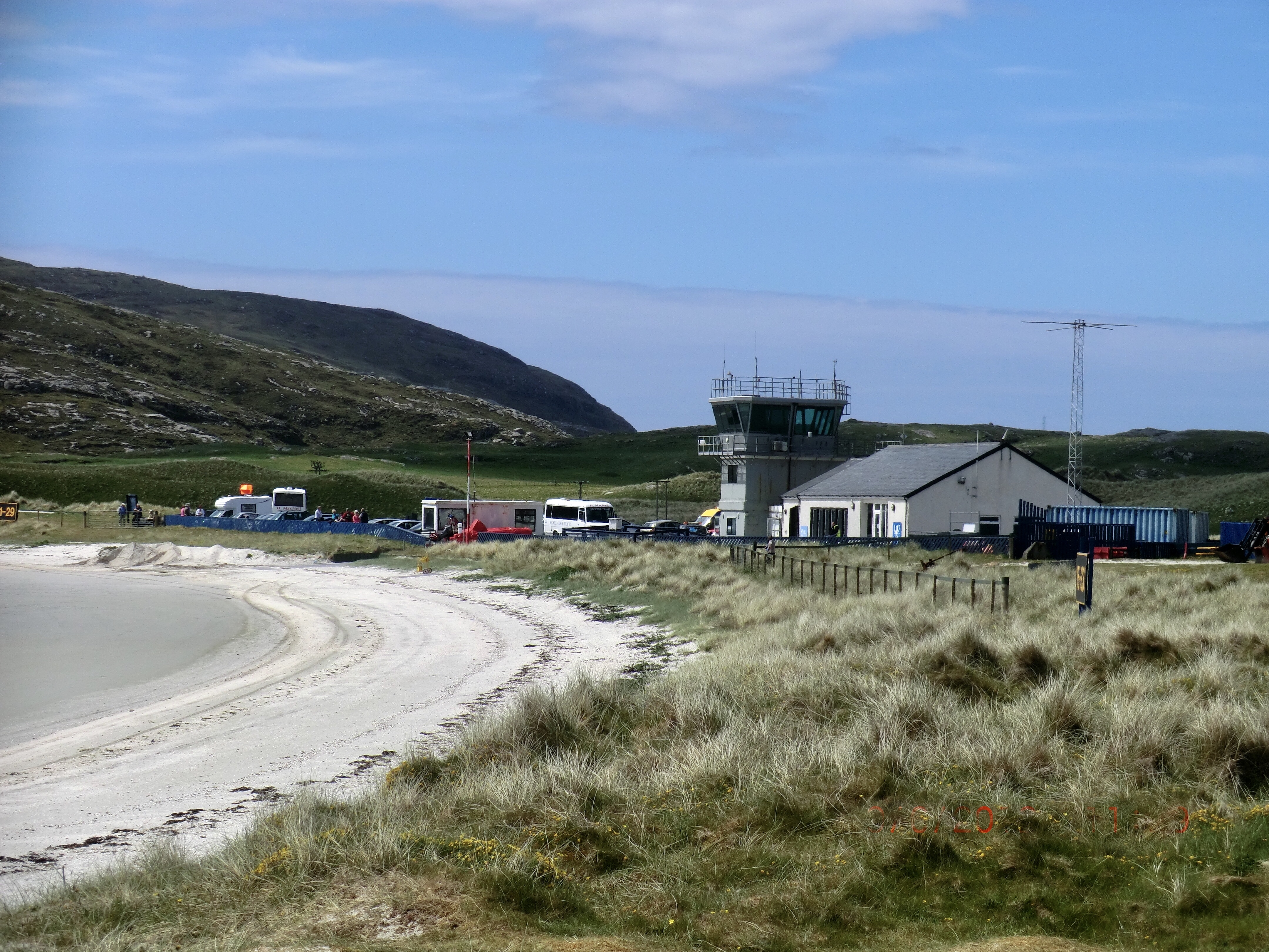
Barra Airport

Barra Airport (Scottish Gaelic: Port-adhair Bharraigh) (IATA: BRR, ICAO: EGPR) (also known as Barra Eoligarry Airport) is a short-runway airport (or STOLport...

Barra

Barra (; Scottish Gaelic: Barraigh [ˈparˠaj] or Eilean Bharraigh [ˈelan ˈvarˠaj] ; Scots: Barra) is an island in the Outer Hebrides, Scotland, and the...

Isle of Barra distillery

Isle of Barra distillery at Borve, Barra, Scotland is a planned future whisky distillery on Barra. The Barra Distillery company was founded in 2003 but...

Borve, Barra

Borve (Scottish Gaelic: Borgh) is a village on the west coast of the island of Barra in the Outer Hebrides, Scotland. Borve is within the parish of Barra...

Northbay

Northbay (Scottish Gaelic: Am Bàgh a Tuath) is a township and community in the north of Barra in the Outer Hebrides, off the west coast of Scotland. Northbay...
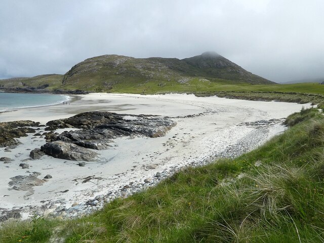
Traigh Mhòr

The Tràigh Mhòr, in English 'Big Beach', is a large expanse of sand forming a magnificent white beach at the northern end of the island of Barra in the...
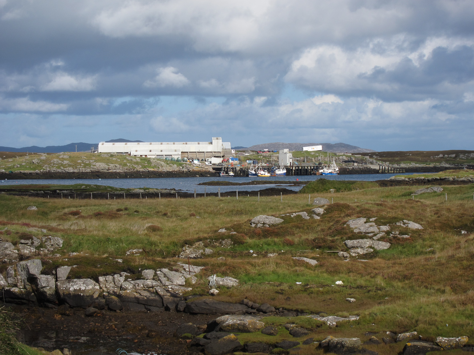
Ardveenish

Ardveenish (Scottish Gaelic: Àird Mhèanais) is a village on Barra in the Western Isles, Scotland. Ardveenish is also within the parish of Barra. ��2�...

Nearby Amenities

Located within 500m of 57.011895,-7.490357
Passing Place
Lat/Long: 57.0138991/-7.4919772
Passing Place
Lat/Long: 57.0119857/-7.4903514
Passing Place
Lat/Long: 57.0093647/-7.4841944
Bus Stop
Cleat
Naptan AtcoCode: 6010731611
Naptan Bearing: E
Naptan BusStopType: CUS
Naptan CommonName: Cleat
Naptan Indicator: Village
Naptan Landmark: Bus turning point
Naptan NaptanCode: 94723268
Naptan Street: Unclassified road
Naptan Verified: no
Source: naptan_import
Lat/Long: 57.0137111/-7.4945284
Turning Circle
Lat/Long: 57.0137514/-7.4945041
Turning Circle
Lat/Long: 57.0094313/-7.4947585
Passing Place
Lat/Long: 57.0134266/-7.4915262
Turning Circle
Lat/Long: 57.0140054/-7.4928165
Cleit
Name En: Cleat
Name Gd: Cleit
Place: hamlet
Lat/Long: 57.0116846/-7.4895799
Passing Place
Lat/Long: 57.0126187/-7.4904268
Passing Place
Lat/Long: 57.0111466/-7.4891138
Passing Place
Lat/Long: 57.0109363/-7.487774
Passing Place
Lat/Long: 57.0106691/-7.4868581
Power: pole
Lat/Long: 57.0093818/-7.4843541
Power: pole
Lat/Long: 57.0094922/-7.4848272
Power: pole
Lat/Long: 57.0096992/-7.4863813
Power: pole
Lat/Long: 57.009698/-7.4872133
Power: pole
Lat/Long: 57.0097084/-7.4886978
Power: pole
Lat/Long: 57.009713/-7.4899374
Power: pole
Lat/Long: 57.0097268/-7.4911727
Power: pole
Lat/Long: 57.0096946/-7.491614
Power: pole
Lat/Long: 57.0095865/-7.4930288
Power: pole
Lat/Long: 57.0094359/-7.4943634
Power: pole
Lat/Long: 57.0092623/-7.4950201
Power: pole
Lat/Long: 57.0089898/-7.4960274
Power: pole
Lat/Long: 57.0083068/-7.4854163
Power: pole
Lat/Long: 57.0087368/-7.4863497
Power: pole
Lat/Long: 57.0093681/-7.4863771
Power: pole
Lat/Long: 57.0100982/-7.486394
Power: pole
Lat/Long: 57.0103784/-7.4863762
Power: pole
Lat/Long: 57.0107258/-7.487176
Power: pole
Lat/Long: 57.0111829/-7.4884509
Power: pole
Lat/Long: 57.0115724/-7.4894197
Power: pole
Lat/Long: 57.0117991/-7.490025
Power: pole
Lat/Long: 57.0121222/-7.4907115
Power: pole
Lat/Long: 57.0125387/-7.4916238
Power: pole
Lat/Long: 57.0129245/-7.492445
Power: pole
Lat/Long: 57.013458/-7.4936235
The data included in this document is from www.openstreetmap.org. The data is made available under ODbL.

Have you been to Cleat?

Leave your review of Cleat below (or comments, questions and feedback).