Knappy Woodlands
Wood, Forest in Devon East Devon
England
Knappy Woodlands

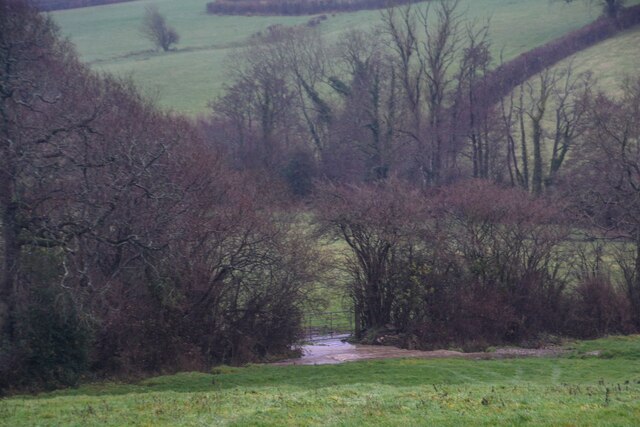
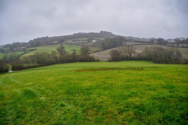
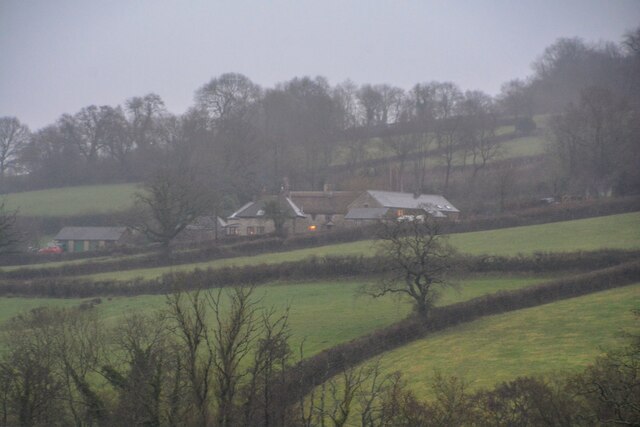
Knappy Woodlands is a picturesque forest located in the county of Devon in southwestern England. Spanning over a vast area, the woodlands are a haven for nature lovers and outdoor enthusiasts. With its lush greenery, diverse wildlife, and tranquil atmosphere, Knappy Woodlands offers a serene escape from the bustling city life.
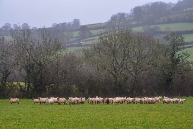
The forest is characterized by its dense canopy of trees, primarily comprising oak, beech, and pine. These towering giants provide shade and shelter to a wide variety of flora and fauna, making it a hotspot for biodiversity. Visitors can expect to encounter a plethora of bird species, including woodpeckers, owls, and various songbirds, while lucky observers might spot deer, foxes, and squirrels roaming freely.
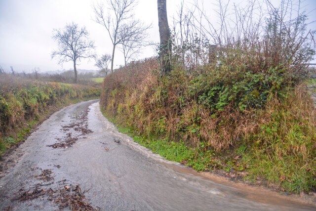
Knappy Woodlands boasts an extensive network of well-maintained trails that wind through the forest, allowing visitors to explore its natural beauty on foot. These paths cater to all levels of hikers and provide scenic views of the surroundings, including babbling brooks and small waterfalls.
The woodlands also offer several recreational activities for visitors to enjoy. Camping enthusiasts can pitch their tents in designated camping areas, while families can picnic in the open meadows surrounded by wildflowers. Additionally, the forest provides ample space for outdoor games and sports, making it a popular destination for local communities and tourists alike.
Overall, Knappy Woodlands in Devon is a captivating natural treasure that offers a peaceful retreat for those seeking solace in nature. Its diverse wildlife, well-maintained trails, and recreational opportunities make it a must-visit destination for anyone visiting the region.
If you have any feedback on the listing, please let us know in the comments section below.
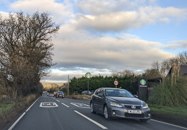
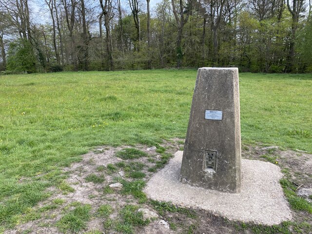
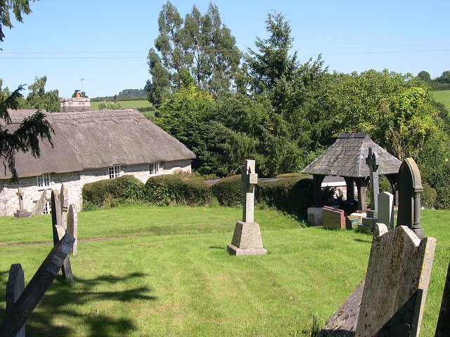
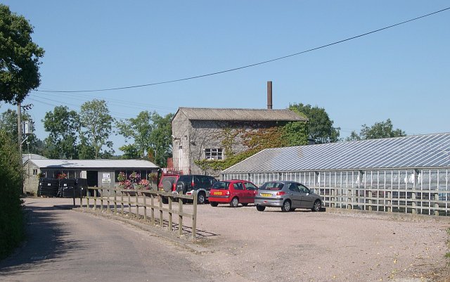
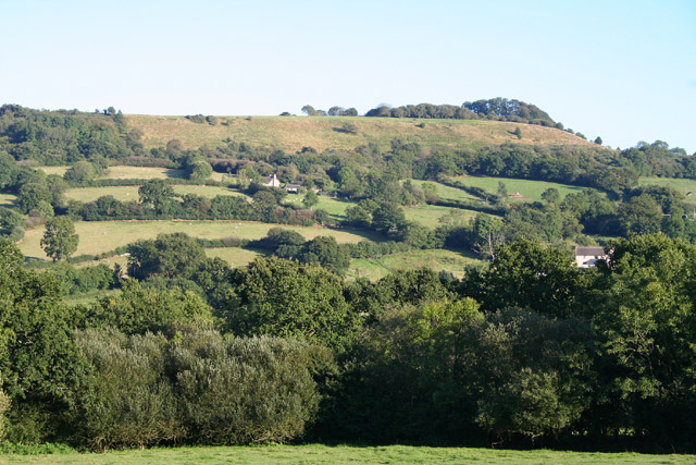
Knappy Woodlands Images
Images are sourced within 2km of 50.820648/-3.1766236 or Grid Reference ST1703. Thanks to Geograph Open Source API. All images are credited.


Knappy Woodlands is located at Grid Ref: ST1703 (Lat: 50.820648, Lng: -3.1766236)
Administrative County: Devon
District: East Devon
Police Authority: Devon and Cornwall
What 3 Words
///stuck.bunk.tall. Near Honiton, Devon
Nearby Locations
Related Wikis
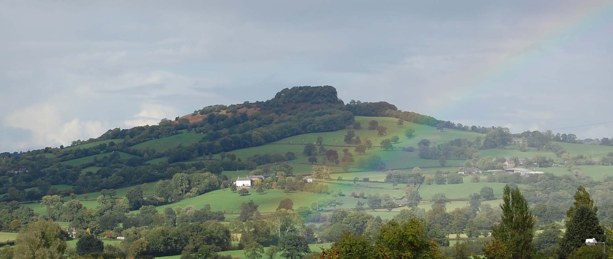
Dumpdon Hill
Dumpdon Hill is an Iron Age Hill Fort near Honiton in Devon. Somewhat overshadowed by its better known neighbour Hembury Fort it is nonetheless as impressive...

Combe Raleigh
Combe Raleigh () is a village and civil parish in the county of Devon, England. The village lies about 1.5 miles north of the town of Honiton, and the...

Monkton, Devon
Monkton is a village and civil parish on the River Otter, about 2 miles north east of Honiton railway station, in the East Devon district, in the county...

Honiton Community College
Honiton Community College is a comprehensive academy school located in Honiton, Devon, England. It was originally established as Honiton Secondary School...

Honiton
Honiton () is a market town and civil parish in East Devon, situated close to the River Otter, 17 miles (27 km) north east of Exeter in the county of Devon...

Honiton railway station
Honiton railway station serves the town of Honiton in east Devon, England. It is operated by South Western Railway and is 154 miles 60 chains (249.0 km...
Hartridge Hill
Hartridge Hill is an elongated, peat hill situated in the Luppitt catchment area of East Devon, England. Mostly privately owned and primarily used for...
Honiton Town F.C.
Honiton Town Football Club is a football club based in Honiton, Devon, England. They are currently members of the South West Peninsula League Premier Division...
Nearby Amenities
Located within 500m of 50.820648,-3.1766236Have you been to Knappy Woodlands?
Leave your review of Knappy Woodlands below (or comments, questions and feedback).