Anslow Gate

Settlement in Staffordshire East Staffordshire

England

Anslow Gate

Oaks Farm on the B5017
Oaks Farm on the B5017 Credit: Ian S

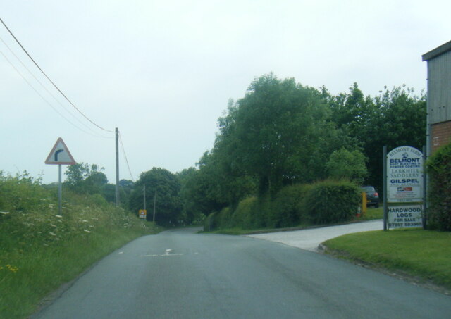
Anslow Gate is a small village located in Staffordshire, England. Situated just a few miles southwest of Burton upon Trent, it is nestled in the heart of the county's picturesque countryside. The village is primarily residential, with a population of around 500 inhabitants.

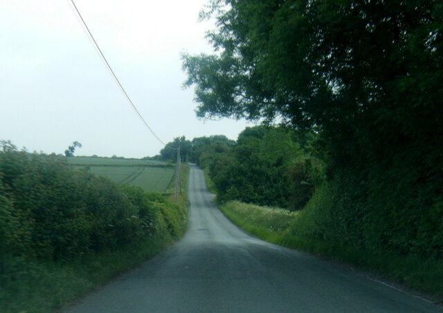
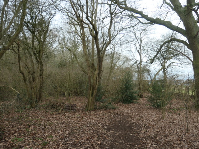
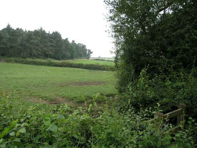
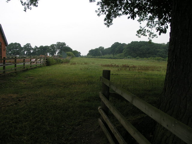
Anslow Gate offers a tranquil and idyllic living environment, with its charming rural setting and close-knit community. The village is known for its beautiful countryside views, with rolling fields and meadows surrounding the area. Residents can enjoy a peaceful and serene lifestyle, away from the hustle and bustle of larger towns and cities.

Despite its small size, Anslow Gate has a strong sense of community spirit. The residents actively participate in various village events and activities, fostering a friendly and welcoming atmosphere. The village has a local pub, The Gate Inn, which serves as a gathering place for locals and visitors alike.

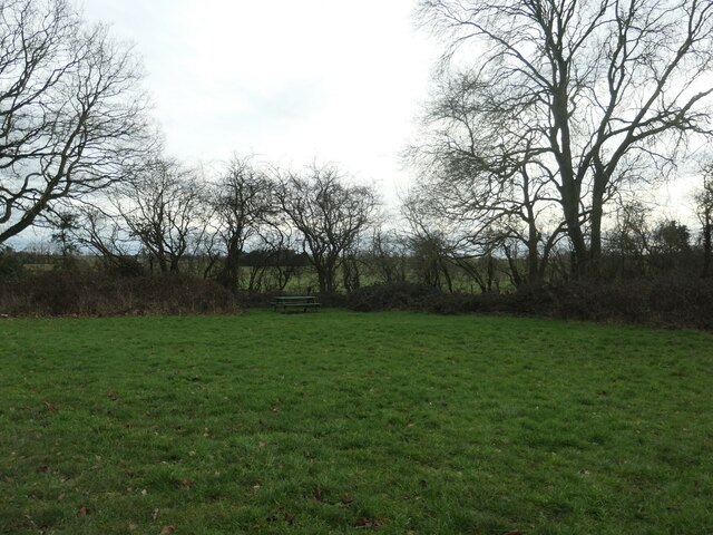
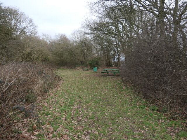
The surrounding area provides plenty of opportunities for outdoor activities, such as hiking, cycling, and horse riding. The nearby National Forest offers extensive woodland and trails to explore, making it a popular destination for nature enthusiasts.

For amenities, Anslow Gate benefits from its close proximity to Burton upon Trent, which provides a wide range of shops, supermarkets, and other essential services. The village is also well-connected by road, with easy access to major transport routes, including the A38 and A50.

In conclusion, Anslow Gate is a picturesque village in Staffordshire, offering a peaceful and rural living environment with a strong sense of community. With its beautiful countryside surroundings and close proximity to amenities, it is an ideal place for those seeking a quieter lifestyle while still having access to essential services.

If you have any feedback on the listing, please let us know in the comments section below.
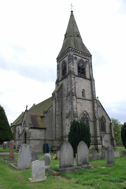
Anslow Gate Images

Images are sourced within 2km of 52.821619/-1.710743 or Grid Reference SK1924. Thanks to Geograph Open Source API. All images are credited.

Oaks Farm on the B5017
Shell Needwood Service Station, B5234
B5017 heading east from Needwood
Belmot Road at Larkhill Saddlery
Belmot Road near Belmot Green
Picnic bench, Belmot Green Open access land managed by Staffordshire County Council. All the maps back to the 1880s call it Belmot Green, but the entry sign says Belmot Common. Perhaps it is common land?
Picnic bench, Belmot Green
Open access land managed by Staffordshire County Council. All the maps back to the 1880s call it Belmot Green, but the entry sign says Belmot Common. Perhaps it is common land?
Picnic area, Belmot Green Open access land managed by Staffordshire County Council. All the maps back to the 1880s call it Belmot Green, but the entry sign says Belmot Common. Perhaps it is common land?
Picnic area, Belmot Green
Open access land managed by Staffordshire County Council. All the maps back to the 1880s call it Belmot Green, but the entry sign says Belmot Common. Perhaps it is common land?
Woodland path, Belmot Green Open access land managed by Staffordshire County Council. All the maps back to the 1880s call it Belmot Green, but the entry sign says Belmot Common. Perhaps it is common land?
Woodland path, Belmot Green
Open access land managed by Staffordshire County Council. All the maps back to the 1880s call it Belmot Green, but the entry sign says Belmot Common. Perhaps it is common land?
Footpath to Farm A footpath runs across these fields to Lower Castle Hayes Farm in the next square east.
Footpath to Farm
A footpath runs across these fields to Lower Castle Hayes Farm in the next square east.
Footpath and Big Tree This footpath runs to the aptly named Needwood Forest.
Footpath and Big Tree
This footpath runs to the aptly named Needwood Forest.
Sheep and Ducks Both the sheep and the ducks are taking a drink from the pond on the left.  The gate gives access to one of those bridleways that stop halfway across a field and continue as a footpath.  No problem carrying a bike, but a horse?
Sheep and Ducks
Both the sheep and the ducks are taking a drink from the pond on the left. The gate gives access to one of those bridleways that stop halfway across a field and continue as a footpath. No problem carrying a bike, but a horse?
Holy Trinity Church This small church in Anslow is dedicated to The Holy Trinity.
Holy Trinity Church
This small church in Anslow is dedicated to The Holy Trinity.
Callingwood Gate Farm On the B5234 road from Abbots Bromley to Burton-upon-Trent
Callingwood Gate Farm
On the B5234 road from Abbots Bromley to Burton-upon-Trent
Bell House Farm
Bell House Farm
Blackbrook Farm On the road from Hanbury to Anslow. It looks like a long time since anyone on this "farm" got their hands dirty tilling the soil.
Blackbrook Farm
On the road from Hanbury to Anslow. It looks like a long time since anyone on this "farm" got their hands dirty tilling the soil.
Farm under demolition On the Hanbury to Anslow road
Farm under demolition
On the Hanbury to Anslow road
Callingwood Farm Buildings A very impressive barn complex on the Rangemore Estate
Callingwood Farm Buildings
A very impressive barn complex on the Rangemore Estate
Belmot Gate Uncertain as to the correct way to spell this. The golf range next door calls itself Belmont.
Belmot Gate
Uncertain as to the correct way to spell this. The golf range next door calls itself Belmont.
Show me another place!

Anslow Gate is located at Grid Ref: SK1924 (Lat: 52.821619, Lng: -1.710743)

Administrative County: Staffordshire

District: East Staffordshire

Police Authority: Staffordshire

What 3 Words

///tennis.starlight.copying. Near Burton upon Trent, Staffordshire

Nearby Locations

Anslow Gate

Related Wikis

Anslow Gate

Anslow Gate is a village in Staffordshire, England, situated to the west of Anslow on the road to Hanbury. According to the 2001 census, the parish of...

Anslow

Anslow is a village and civil parish in the East Staffordshire district of Staffordshire, England, about three miles [4.8 km] north-west of Burton upon...

Tatenhill

Tatenhill is an ancient village and a civil parish located in a deep valley, between two hills, which gradually descend from the eastern border of Needwood...

Rangemore

Rangemore is a village in the borough of East Staffordshire, situated approximately 4 miles (6 km) west of the town of Burton upon Trent, on a ridge of...
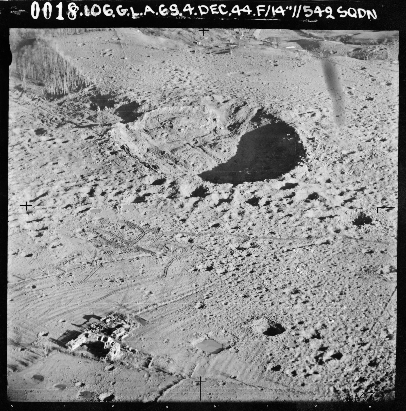
RAF Fauld explosion

The RAF Fauld explosion was a military accident which occurred at 11:11 am on Monday, 27 November 1944 at the RAF Fauld underground munitions storage depot...

Sinai Park House

Sinai Park House is a grade II* listed building in Burton upon Trent, Staffordshire, England. Consisting of a central range with two wings the building...

St George's Park National Football Centre

St George's Park (SGP) is the English Football Association's national football centre (NFC) built on a 330-acre (130 ha) site at Burton upon Trent, Staffordshire...

Byrkley Lodge

Byrkley Lodge was a country house and later racing horse stud farm, located close to Burton on Trent, Staffordshire. Demolished in 1953, its former grounds...

Nearby Amenities

Located within 500m of 52.821619,-1.710743
Bellhouse Lane
Naptan AtcoCode: 3800C310401
Naptan Bearing: NW
Naptan BusStopType: CUS
Naptan CommonName: Bellhouse Lane
Naptan Indicator: Adj
Naptan Landmark: Bellhouse Lane
Naptan Street: Main Road
Naptan Verified: no
Source: naptan_import
Lat/Long: 52.8227015/-1.7096979
Bellhouse Lane
Naptan AtcoCode: 3800C310402
Naptan Bearing: SE
Naptan BusStopType: CUS
Naptan CommonName: Bellhouse Lane
Naptan Indicator: Opp
Naptan Landmark: Bellhouse Lane
Naptan Street: Main Road
Naptan Verified: no
Source: naptan_import
Lat/Long: 52.8226289/-1.7094164
Post Box
Operator: Royal Mail
Ref: DE13 1052
Lat/Long: 52.8217609/-1.7076199
The data included in this document is from www.openstreetmap.org. The data is made available under ODbL.

Have you been to Anslow Gate?

Leave your review of Anslow Gate below (or comments, questions and feedback).