Cleuch Head

Settlement in Roxburghshire

Scotland

Cleuch Head

B6357 towards Bonchester Bridge
B6357 towards Bonchester Bridge Credit: Steven Brown

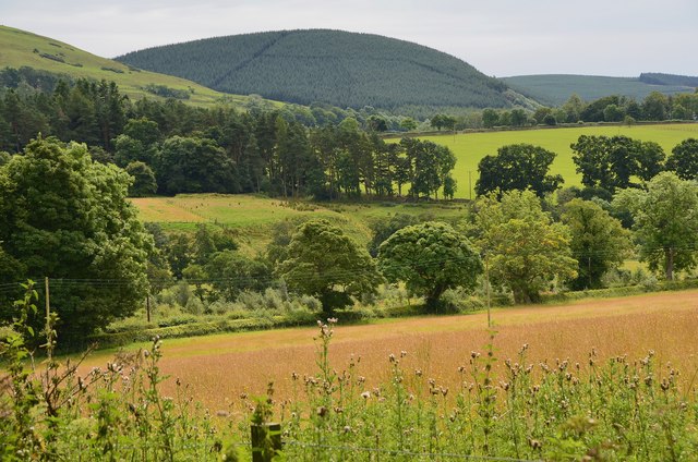
Cleuch Head is a small, picturesque village located in the region of Roxburghshire, Scotland. Situated in the southern part of the country, it lies approximately 4 miles northeast of the town of Hawick. The village is nestled within the beautiful rolling hills of the Scottish Borders, offering stunning panoramic views of the surrounding countryside.

Cleuch Head is known for its peaceful and tranquil atmosphere, making it an ideal retreat for those seeking a break from the hustle and bustle of city life. The village is home to a tight-knit community, with a population of around 200 residents. The locals are friendly and welcoming, and the sense of community is strong.

The village features a range of amenities for its residents, including a small grocery store, a post office, and a charming village pub. The nearby town of Hawick provides additional facilities such as schools, healthcare services, and recreational activities.

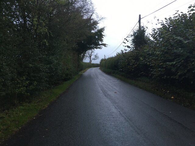
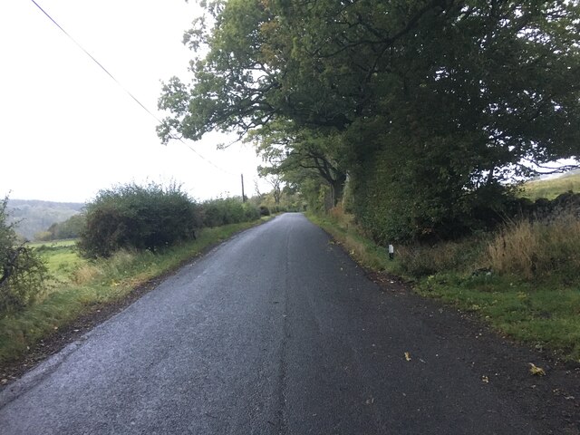
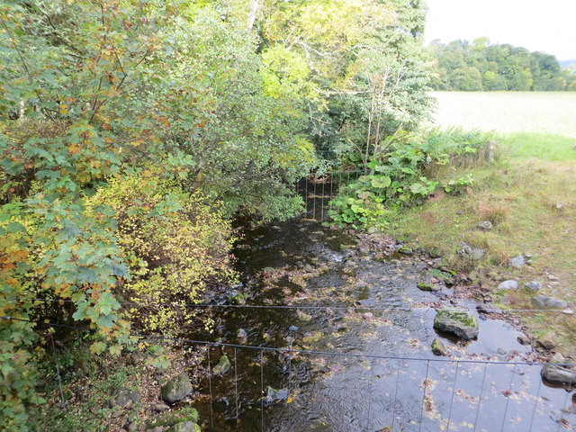
For outdoor enthusiasts, Cleuch Head offers plenty of opportunities to explore the natural beauty of the area. The surrounding countryside is crisscrossed with walking and cycling trails, allowing visitors to immerse themselves in the stunning landscapes. The village is also conveniently located near the River Teviot, providing opportunities for fishing and other water-based activities.

In summary, Cleuch Head is a quaint and picturesque village in Roxburghshire, Scotland. With its stunning natural surroundings, friendly community, and range of amenities, it offers a peaceful and idyllic setting for both residents and visitors alike.

If you have any feedback on the listing, please let us know in the comments section below.
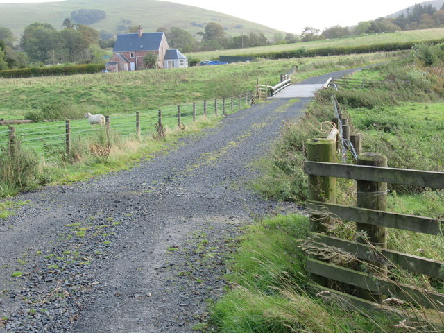
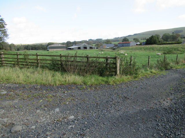
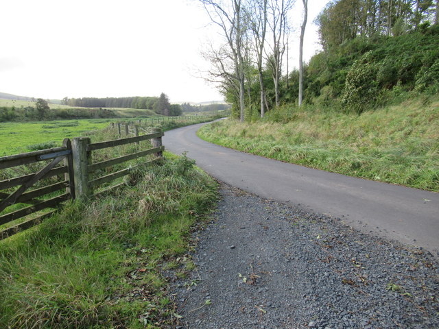
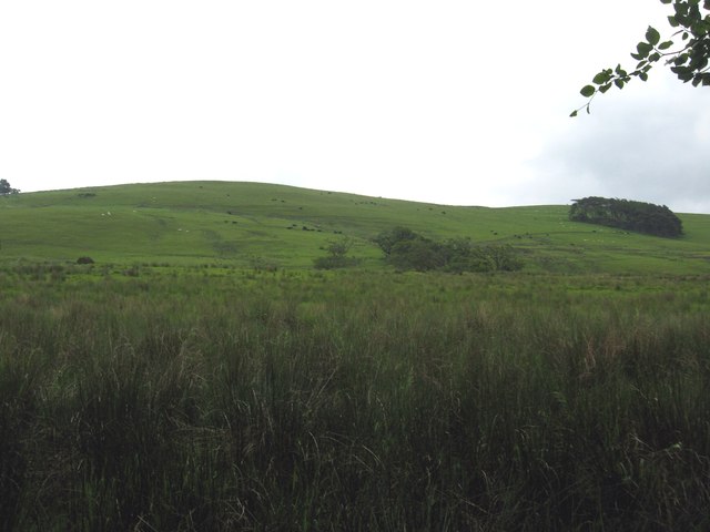
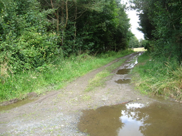
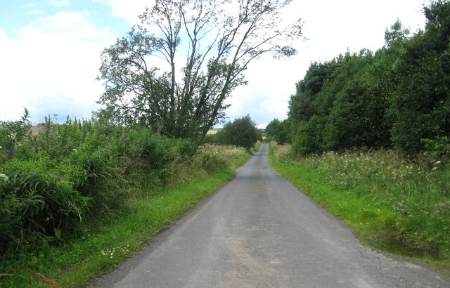
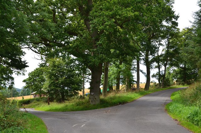
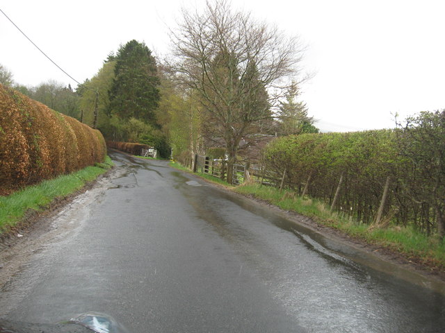
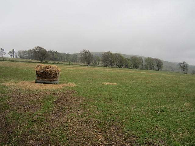
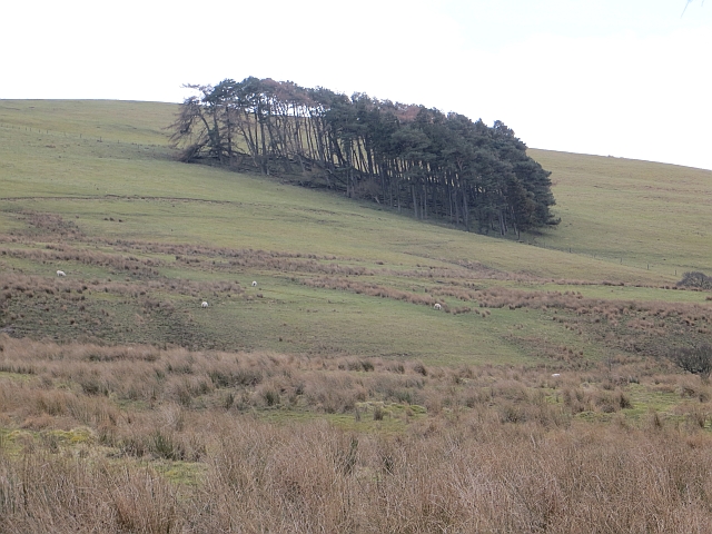
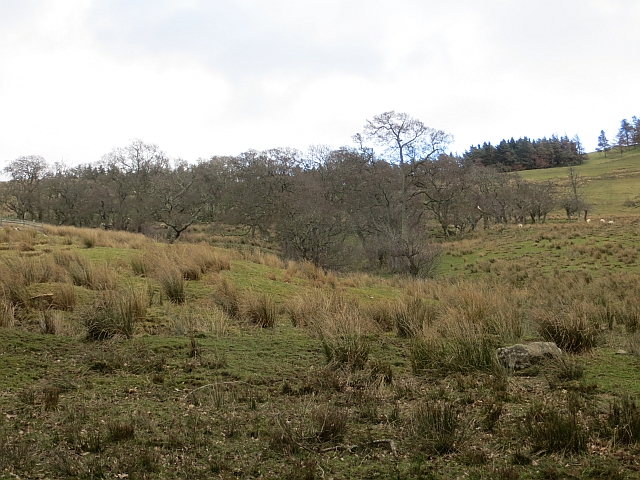
Cleuch Head Images

Images are sourced within 2km of 55.381845/-2.6551068 or Grid Reference NT5809. Thanks to Geograph Open Source API. All images are credited.

B6357 towards Bonchester Bridge
Ordnance Survey Flush Bracket 11419 This can be found on the parapet wall of a bridge over Catlee Burn at Forkins.
For more detail see : <span class="nowrap"><a title="http://www.bench-marks.org.uk/bm16610" rel="nofollow ugc noopener" href="http://www.bench-marks.org.uk/bm16610">Link</a><img style="margin-left:2px;" alt="External link" title="External link - shift click to open in new window" src="https://s1.geograph.org.uk/img/external.png" width="10" height="10"/></span>
Ordnance Survey Flush Bracket 11419
This can be found on the parapet wall of a bridge over Catlee Burn at Forkins. For more detail see : LinkExternal link
Catlee Burn viewed from the bridge at Forkins Looking north-westward.
Catlee Burn viewed from the bridge at Forkins
Looking north-westward.
Bridge across Harwood burn to cottage near Hobkirk in the Scottish Borders As yet unmapped and unsatted!!
Bridge across Harwood burn to cottage near Hobkirk in the Scottish Borders
As yet unmapped and unsatted!!
Track junction with public road near Hobkirk in the Scottish Borders
Grazing lands on Wolflee Hill In Roxburghshire.
Grazing lands on Wolflee Hill
In Roxburghshire.
Track through the plantation At Unthank Wood in Roxburghshire.
Track through the plantation
At Unthank Wood in Roxburghshire.
Country lane heading for Highend Farm In Roxburghshire.
Country lane heading for Highend Farm
In Roxburghshire.
Forestry beyond the fields, Harwoodmill A view across the catchment of the Rule Water to the forested Wolfhopelee Hill, at the N end of the extensive Wauchope Forest.
Forestry beyond the fields, Harwoodmill
A view across the catchment of the Rule Water to the forested Wolfhopelee Hill, at the N end of the extensive Wauchope Forest.
Road junction near Forkins A sign on the tree indicates 'Harwood' to the left.
Road junction near Forkins
A sign on the tree indicates 'Harwood' to the left.
The B6357heading south towards Wolfelee in Roxburghshire
Field above Cleuch Head Grass field with left overs from Winter.
Field above Cleuch Head
Grass field with left overs from Winter.
Field under Wolfelee Hill Rashy ground beside the B6357.
Field under Wolfelee Hill
Rashy ground beside the B6357.
Wolfelee Hill A circular wood on Wolfelee Hill. This is what the now forested Wauchope would have been like judging by evidence of old maps.
Wolfelee Hill
A circular wood on Wolfelee Hill. This is what the now forested Wauchope would have been like judging by evidence of old maps.
Alder wood, Wolfelee
Grass track northeast of Wolfelee Hill
Show me another place!

Cleuch Head is located at Grid Ref: NT5809 (Lat: 55.381845, Lng: -2.6551068)

Unitary Authority: The Scottish Borders

Police Authority: The Lothians and Scottish Borders

What 3 Words

///chimp.spices.professes. Near Hawick, Scottish Borders

Nearby Locations

Cleuch Head Glen Bank

Related Wikis

Nearby Amenities

Located within 500m of 55.381845,-2.6551068
Haewoodmill
Place: isolated_dwelling
Lat/Long: 55.3796917/-2.6573501
Cleuch Head
Place: hamlet
Lat/Long: 55.3827825/-2.6515403
Generator Method: photovoltaic
Generator Output Electricity: yes
Generator Source: solar
Generator Type: solar_photovoltaic_panel
Power: generator
Lat/Long: 55.3834689/-2.648949
Generator Method: photovoltaic
Generator Output Electricity: yes
Generator Source: solar
Generator Type: solar_photovoltaic_panel
Power: generator
Lat/Long: 55.3819524/-2.6525253
Noexit: yes
Lat/Long: 55.3793068/-2.6579094
Give Way
Direction: forward
Lat/Long: 55.3818024/-2.6550586
Power: pole
Lat/Long: 55.3856047/-2.6539622
Power: pole
Lat/Long: 55.3849035/-2.6540691
Power: pole
Lat/Long: 55.3841849/-2.6541913
Power: pole
Lat/Long: 55.3834649/-2.6543236
Power: pole
Lat/Long: 55.3827666/-2.6544483
Power: pole
Lat/Long: 55.3820466/-2.6545756
Power: pole
Lat/Long: 55.3829936/-2.6522112
Power: pole
Lat/Long: 55.3826394/-2.6523181
Power: pole
Lat/Long: 55.3822736/-2.6524377
Power: pole
Lat/Long: 55.3818846/-2.6523665
Power: pole
Lat/Long: 55.38162/-2.6523334
Power: pole
Lat/Long: 55.3816388/-2.653018
Power: pole
Lat/Long: 55.3816562/-2.6537154
Power: pole
Lat/Long: 55.3816865/-2.6544127
Power: pole
Lat/Long: 55.3817039/-2.6549828
Power: pole
Lat/Long: 55.3817154/-2.6553748
Power: pole
Lat/Long: 55.3812947/-2.6563928
Power: pole
Lat/Long: 55.3807597/-2.6576602
Power: pole
Lat/Long: 55.3802782/-2.6588412
Power: pole
Lat/Long: 55.3797071/-2.6607271
Power: pole
Lat/Long: 55.3794374/-2.6615822
Power: pole
Lat/Long: 55.3796348/-2.6588513
Power: pole
Lat/Long: 55.3788959/-2.658887
Power: pole
Lat/Long: 55.3781873/-2.6589048
Power: pole
Lat/Long: 55.3805197/-2.6607983
Power: pole
Lat/Long: 55.3801474/-2.6610757
Power: pole
Lat/Long: 55.379783/-2.6613264
Power: pole
Lat/Long: 55.3794526/-2.6581425
Power: pole
Lat/Long: 55.379488/-2.6493111
Power: pole
Lat/Long: 55.3801835/-2.6496241
Power: pole
Lat/Long: 55.3808342/-2.6499155
Power: pole
Lat/Long: 55.3814313/-2.6501828
Power: pole
Lat/Long: 55.3820227/-2.6504449
Power: pole
Lat/Long: 55.3824478/-2.6495923
Power: pole
Lat/Long: 55.3829394/-2.6485692
Power: pole
Lat/Long: 55.3832256/-2.647994
Power: pole
Lat/Long: 55.3787549/-2.6503228
The data included in this document is from www.openstreetmap.org. The data is made available under ODbL.

Have you been to Cleuch Head?

Leave your review of Cleuch Head below (or comments, questions and feedback).