Bramble Copse
Wood, Forest in Devon East Devon
England
Bramble Copse

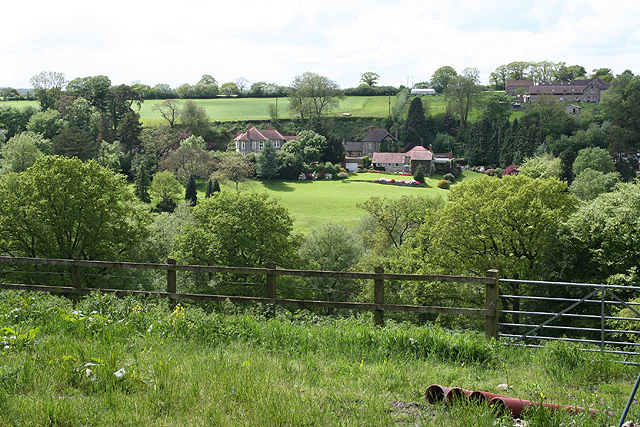
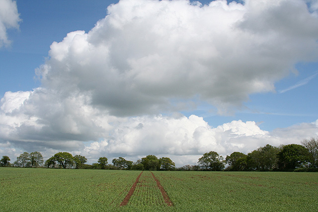
Bramble Copse is a picturesque woodland located in the county of Devon, England. This enchanting forest covers an area of approximately 50 acres and is renowned for its natural beauty and diverse wildlife. It is nestled within the rolling hills and valleys of the Devon countryside, providing a tranquil retreat for nature enthusiasts and visitors alike.
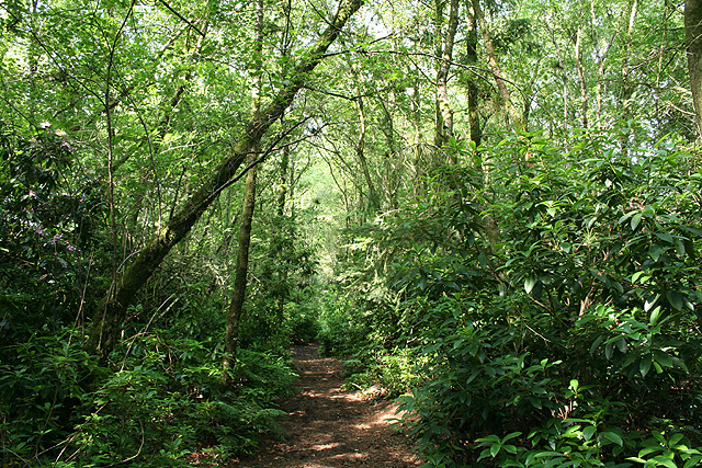
The forest is predominantly composed of ancient broadleaf trees, such as oak, beech, and ash, which create a dense canopy and offer a haven for numerous bird species, including woodpeckers and owls. The forest floor is adorned with a rich carpet of wildflowers, ferns, and mosses, adding to the area's charm and biodiversity.
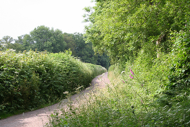
Bramble Copse is intersected by a network of winding footpaths and trails, enabling visitors to explore the woodland and immerse themselves in its natural wonders. These well-maintained paths lead to hidden glades, babbling brooks, and small clearings, providing ample opportunities for picnicking, photography, and peaceful contemplation.
The forest is also home to a variety of wildlife, including deer, badgers, foxes, and squirrels, which can often be spotted darting amongst the trees. Birdwatchers will delight in the chance to observe species such as the elusive nightjar and the vibrant woodpecker.
Bramble Copse is open to the public throughout the year and offers a tranquil escape from the hustle and bustle of modern life. Whether it's a leisurely stroll, an afternoon picnic, or an opportunity to connect with nature, this woodland sanctuary in Devon promises a memorable experience for all who visit.
If you have any feedback on the listing, please let us know in the comments section below.
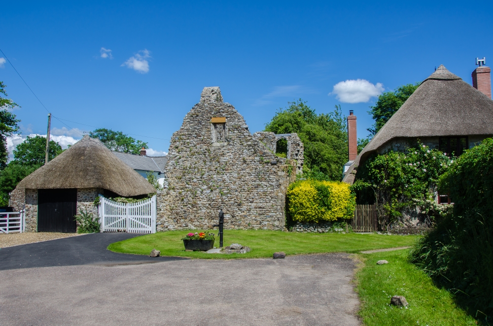
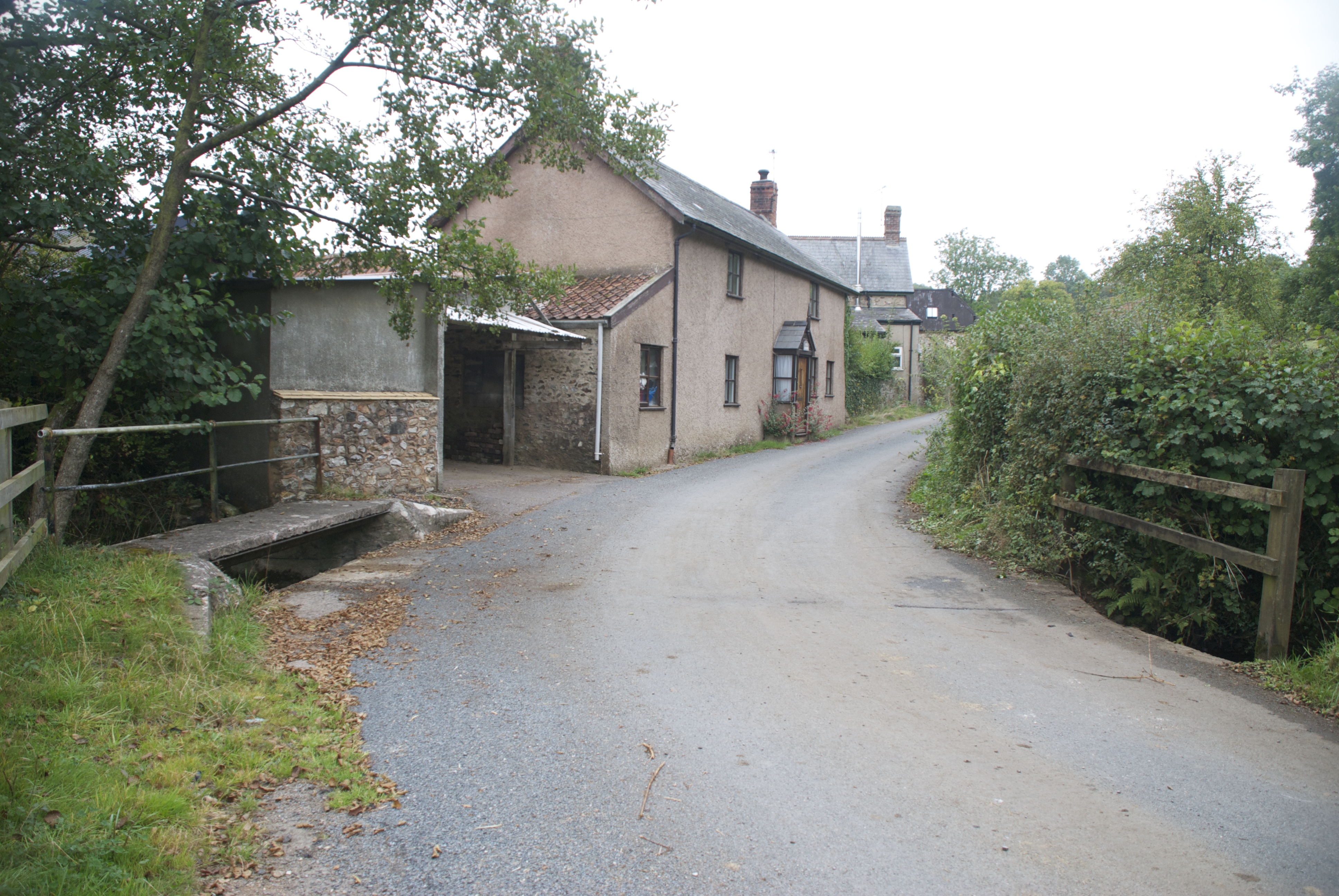
Bramble Copse Images
Images are sourced within 2km of 50.864488/-3.2169185 or Grid Reference ST1407. Thanks to Geograph Open Source API. All images are credited.


Bramble Copse is located at Grid Ref: ST1407 (Lat: 50.864488, Lng: -3.2169185)
Administrative County: Devon
District: East Devon
Police Authority: Devon and Cornwall
What 3 Words
///backdrop.swan.seagulls. Near Dunkeswell, Devon
Nearby Locations
Related Wikis
Dunkeswell
Dunkeswell is a village and civil parish in East Devon, England, located about 5 miles (8.0 km) north of the town of Honiton. At the 2001 census, the...
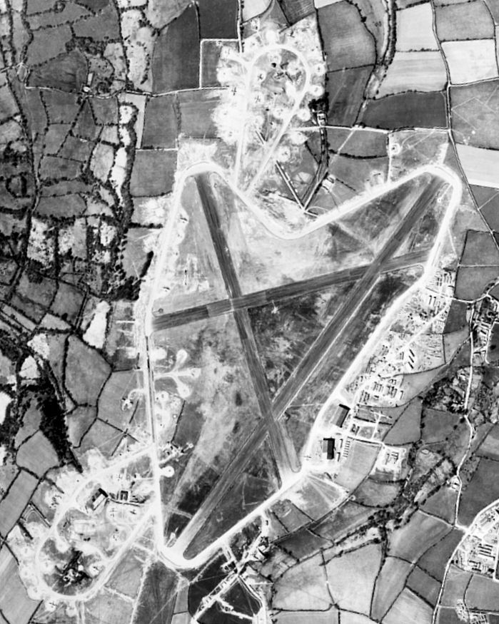
Dunkeswell Aerodrome
Dunkeswell Aerodrome (ICAO: EGTU) is an airfield in East Devon, England. It is located approximately 5 mi (8.0 km) north of the town of Honiton and 14...
Abbey, Devon
Abbey is a hamlet in the English county of Devon. It is located in the Blackdown Hills, a group of hills that border both Devon and Somerset. Dunkeswell...

Sheldon, Devon
Sheldon is a village and civil parish in the East Devon district of the county of Devon in England. It is located in the Blackdown Hills, 6.5 miles (10...
Nearby Amenities
Located within 500m of 50.864488,-3.2169185Have you been to Bramble Copse?
Leave your review of Bramble Copse below (or comments, questions and feedback).