Blackham Copse

Wood, Forest in Somerset Somerset West and Taunton

England

Blackham Copse

Wellington: Tonedale Mills A new woollen factory was built here between 1801 and 1803 by Thomas Fox on the site of the town’s flour mill. Rebuilding followed a fire in 1821 and steam power was installed in 1840 – the factory was originally water-powered. Fox Brothers together with the Elworthy family, who ran further woollen mills at nearby Westford, provided employment for the majority of Wellington’s citizens. Operations at Tonedale have been scaled down in recent years
Wellington: Tonedale Mills Credit: Martin Bodman

Blackham Copse is a picturesque woodland located in the county of Somerset, England. Spread over an area of approximately 50 acres, it is a part of the larger Blackdown Hills Area of Outstanding Natural Beauty. The copse is situated near the charming village of Neroche, offering visitors a tranquil retreat away from the hustle and bustle of urban life.

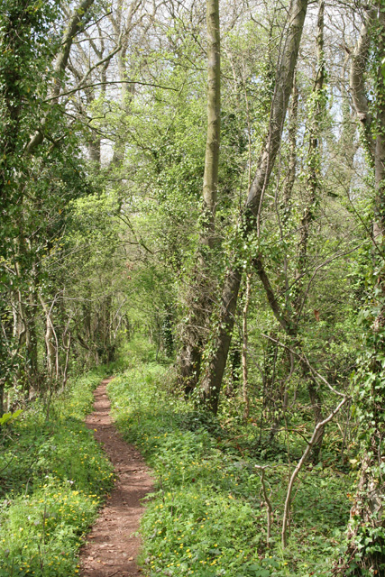
The woodland is predominantly composed of native broadleaf trees, including oak, beech, and ash, which provide a rich habitat for a diverse range of flora and fauna. The verdant canopy creates a shady and cool atmosphere, making it an ideal place for nature enthusiasts and wildlife lovers. Birdwatchers will be delighted to spot various species such as woodpeckers, nuthatches, and treecreepers in the area.

Traversing through the copse, visitors can discover a number of well-maintained footpaths and trails, allowing them to explore the natural beauty of the woodland at their own pace. The paths wind through the trees, leading to open clearings where one can enjoy a picnic or simply bask in the serenity of the surroundings.

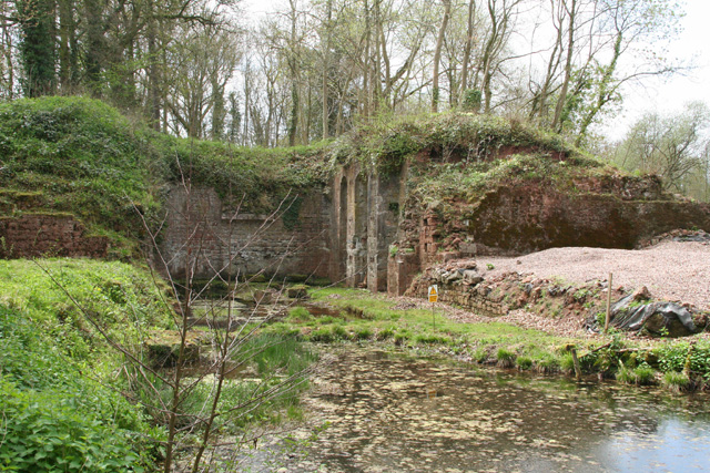
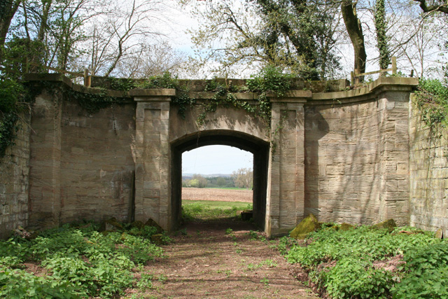
Blackham Copse also holds historical significance as it was once part of a medieval hunting forest known as Neroche Forest. Remnants of ancient earthworks and boundaries can still be seen within the woodland, adding an air of mystery and intrigue to the area.

Whether it is a leisurely stroll, a family day out, or a chance to connect with nature, Blackham Copse offers a delightful experience for all who visit.

If you have any feedback on the listing, please let us know in the comments section below.

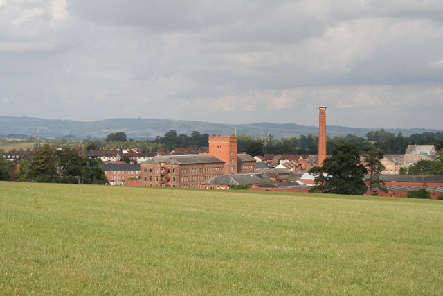
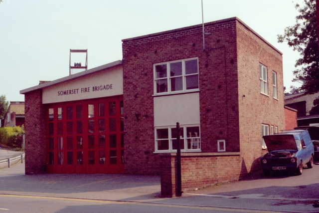
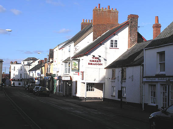
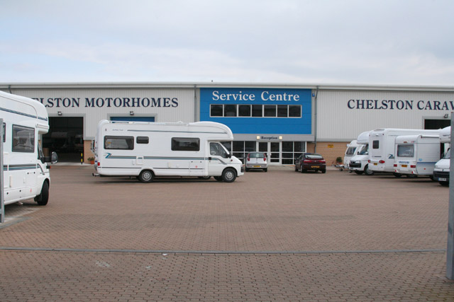
Blackham Copse Images

Images are sourced within 2km of 50.990234/-3.2204043 or Grid Reference ST1421. Thanks to Geograph Open Source API. All images are credited.

Wellington: Tonedale Mills A new woollen factory was built here between 1801 and 1803 by Thomas Fox on the site of the town’s flour mill. Rebuilding followed a fire in 1821 and steam power was installed in 1840 – the factory was originally water-powered. Fox Brothers together with the Elworthy family, who ran further woollen mills at nearby Westford, provided employment for the majority of Wellington’s citizens. Operations at Tonedale have been scaled down in recent years
Wellington: Tonedale Mills
A new woollen factory was built here between 1801 and 1803 by Thomas Fox on the site of the town’s flour mill. Rebuilding followed a fire in 1821 and steam power was installed in 1840 – the factory was originally water-powered. Fox Brothers together with the Elworthy family, who ran further woollen mills at nearby Westford, provided employment for the majority of Wellington’s citizens. Operations at Tonedale have been scaled down in recent years
Wellington Fire Station Wellington Fire Station, North Street, Wellington, Somerset.
Wellington Fire Station
Wellington Fire Station, North Street, Wellington, Somerset.
Green Dragon Inn, Wellington
West Buckland: Chelston Trading Estate Chelston Motorhomes and Chelston Caravans service centre. Near Wellington and Junction 26 on the M5 Motorway
West Buckland: Chelston Trading Estate
Chelston Motorhomes and Chelston Caravans service centre. Near Wellington and Junction 26 on the M5 Motorway
Wellington: Sylvan Road Where Beech Hill becomes Sylvan Road. Looking north west with Wellington church tower in the distance
Wellington: Sylvan Road
Where Beech Hill becomes Sylvan Road. Looking north west with Wellington church tower in the distance
Wellington: canal lift There were seven lifts on the Grand Western Canal and this one, known as the Nynehead Lift, is considered the best preserved. Here tub boats were introduced into caissons and raised or lowered nearly 20 feet. Looking south west
Wellington: canal lift
There were seven lifts on the Grand Western Canal and this one, known as the Nynehead Lift, is considered the best preserved. Here tub boats were introduced into caissons and raised or lowered nearly 20 feet. Looking south west
Wellington: footpath by canal bed Woods now cover the course of the Grand Western Canal west of the Nynehead Lift. Looking west north west
Wellington: footpath by canal bed
Woods now cover the course of the Grand Western Canal west of the Nynehead Lift. Looking west north west
Wellington: Nynehead Drive Aqueduct This was once a carriage drive to Nynehead Court. The bridge, or more correctly,  aqueduct carried the Grand Western Canal over the drive. Looking north west
Wellington: Nynehead Drive Aqueduct
This was once a carriage drive to Nynehead Court. The bridge, or more correctly, aqueduct carried the Grand Western Canal over the drive. Looking north west
Nynehead: Hornshay Weir On the river Tone. The weir once served a waterwheel; this was later replaced by a turbine which generated electricity for use at nearby Hornshay Farm
Nynehead: Hornshay Weir
On the river Tone. The weir once served a waterwheel; this was later replaced by a turbine which generated electricity for use at nearby Hornshay Farm
Nynehead: Nynehead Court Seen from the adjoining churchyard, looking north west. An Historic Landscape Restoration Award for the period 2001-2003 was given by Taunton Deane Borough Council
Nynehead: Nynehead Court
Seen from the adjoining churchyard, looking north west. An Historic Landscape Restoration Award for the period 2001-2003 was given by Taunton Deane Borough Council
Nynehead: church Adjoins Nynhead Court. Looking north west
Nynehead: church
Adjoins Nynhead Court. Looking north west
Nynehead: Heywood Farmhouse for Heywood farm, which is marked Haywood on the 1988 edition of the Ordnance Survey 1:25,000. Looking north-north-east
Nynehead: Heywood
Farmhouse for Heywood farm, which is marked Haywood on the 1988 edition of the Ordnance Survey 1:25,000. Looking north-north-east
Langford Budville: back lane Running between the B3187 Wellington-Milverton road and Heywood
Langford Budville: back lane
Running between the B3187 Wellington-Milverton road and Heywood
Wellington: Quantock Road Looking south east
Wellington: Quantock Road
Looking south east
Nynehead: Upcott Farmhouse and barns, looking north east
Nynehead: Upcott
Farmhouse and barns, looking north east
Nynehead: towards Blockhouse Farm Some of the buildings appear to have been converted to residential use. Note that the 1988 edition of the Ordnance Survey 1:25,000 has ‘Block House Farm’ rather than ‘Blockhouse Farm’. Looking east-north-east
Nynehead: towards Blockhouse Farm
Some of the buildings appear to have been converted to residential use. Note that the 1988 edition of the Ordnance Survey 1:25,000 has ‘Block House Farm’ rather than ‘Blockhouse Farm’. Looking east-north-east
Wellington: South Street Looking north-north-west to the junction with Fore Street and High Street
Wellington: South Street
Looking north-north-west to the junction with Fore Street and High Street
Wellington: Fore Street Looking south west from the end of South Street. Fore Street leads to Rockwell Green and on to Cullompton: this was once the old route to Exeter and the west
Wellington: Fore Street
Looking south west from the end of South Street. Fore Street leads to Rockwell Green and on to Cullompton: this was once the old route to Exeter and the west
Show me another place!

Blackham Copse is located at Grid Ref: ST1421 (Lat: 50.990234, Lng: -3.2204043)

Administrative County: Somerset

District: Somerset West and Taunton

Police Authority: Avon and Somerset

What 3 Words

///hilltop.thud.beam. Near Milverton, Somerset

Related Wikis

Longforth Farm

Longforth Farm, on the outskirts of Wellington, Somerset, England, is the site of a Bronze Age landscape and an extensive medieval structure.The previously...
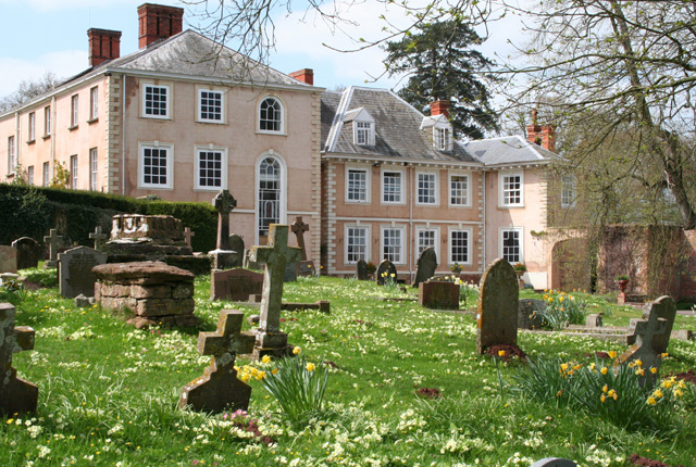
Nynehead Court

Nynehead Court is a Grade II* listed building at Nynehead in Somerset, England. == History == The building dates back to the late 14th century with major...
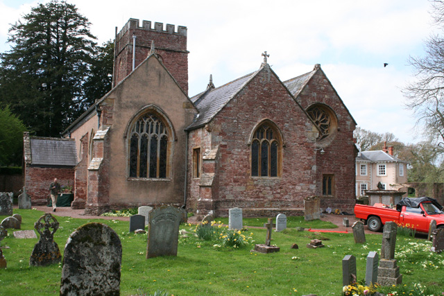
Nynehead

Nynehead is a village and civil parish in Somerset, England, situated on the River Tone, 7 miles (11 km) south-west of Taunton and 1.5 miles (2 km) north...

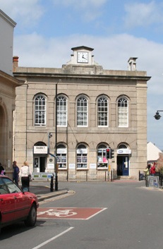
Wellington Town Hall, Somerset

Wellington Town Hall is a municipal building in Fore Street, Wellington, Somerset, England. The structure, which was previously used as a civic events...

Wellington A.F.C.

Wellington Association Football Club are a football club based in Wellington, Somerset, England. They are currently members of the Western League Premier...

Wellington railway station (Somerset)

Wellington railway station was a former railway station located in Wellington in Somerset on the Bristol–Exeter line. It served the town between 1843...

Tone Dale House

Tone Dale House (or Tonedale House) is a Grade II listed country house built in 1801 or 1807 by Thomas Fox in Wellington, Somerset, England. Wellington...

Wellington, Somerset

Wellington is a market town in rural Somerset, a county in the west of England, situated 7 miles (11 km) south west of Taunton, near the border with Devon...

Nearby Amenities

Located within 500m of 50.990234,-3.2204043
Nynehead Boat Lift
Historic: monument
Wikidata: Q5595249
Wikipedia: en:Grand Western Canal#Nynehead Lift
Lat/Long: 50.9893482/-3.2208205
Brand: National Grid
Brand Wikidata: Q1465461
Colour: gray
Design: three-level
Material: metal
Operator: National Grid Electricity Distribution
Operator Old: Western Power Distribution
Operator Wikidata: Q7988183
Owner: National Grid Electricity Distribution (South West) Plc
Owner Wikidata: Q114397866
Power: tower
Structure: lattice
Lat/Long: 50.9932062/-3.216376
Brand: National Grid
Brand Wikidata: Q1465461
Colour: gray
Design: three-level
Material: metal
Operator: National Grid Electricity Distribution
Operator Old: Western Power Distribution
Operator Wikidata: Q7988183
Owner: National Grid Electricity Distribution (South West) Plc
Owner Wikidata: Q114397866
Power: tower
Structure: lattice
Lat/Long: 50.9927348/-3.2218531
Give Way
Lat/Long: 50.9879928/-3.2179909
Post Box
Operator: Royal Mail
Operator Wikidata: Q638098
Lat/Long: 50.9894513/-3.2143291
The data included in this document is from www.openstreetmap.org. The data is made available under ODbL.

Have you been to Blackham Copse?

Leave your review of Blackham Copse below (or comments, questions and feedback).