Beveland Copse
Wood, Forest in Somerset Somerset West and Taunton
England
Beveland Copse

Beveland Copse is a charming woodland located in Somerset, England. Covering an area of approximately 10 acres, this copse is nestled within the picturesque countryside and offers a tranquil escape from the hustle and bustle of everyday life.
The copse is primarily composed of native broadleaf trees, including oak, beech, and ash, which form a dense canopy overhead. The forest floor is adorned with a rich carpet of ferns, bluebells, and wildflowers, providing a vibrant burst of color during the spring and summer months. The towering trees create a cool and shady environment, offering respite on hot summer days.
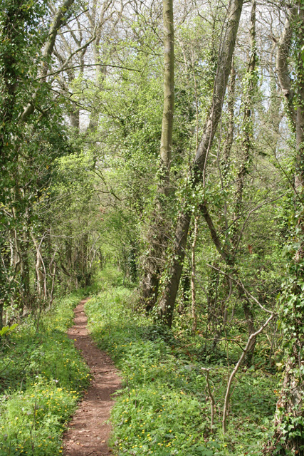
A network of well-maintained footpaths winds through Beveland Copse, allowing visitors to explore its natural beauty at their own pace. The paths meander through the woodland, providing glimpses of sunlight filtering through the leaves and creating a magical atmosphere. Birdsong fills the air, with a variety of species finding refuge in the copse, including woodpeckers, song thrushes, and tawny owls.
Beveland Copse is also home to a diverse range of wildlife, attracting nature enthusiasts from far and wide. Squirrels scuttle along the branches, while deer can occasionally be spotted grazing in the clearing. The copse is also known for its vibrant insect population, with butterflies, dragonflies, and bees flitting from flower to flower.
With its serene ambiance and abundant natural beauty, Beveland Copse is a true gem within the Somerset countryside. Whether for a leisurely stroll, birdwatching, or simply immersing oneself in nature, this woodland offers a peaceful retreat for visitors of all ages.
If you have any feedback on the listing, please let us know in the comments section below.
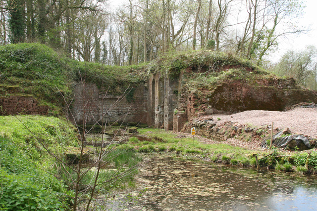
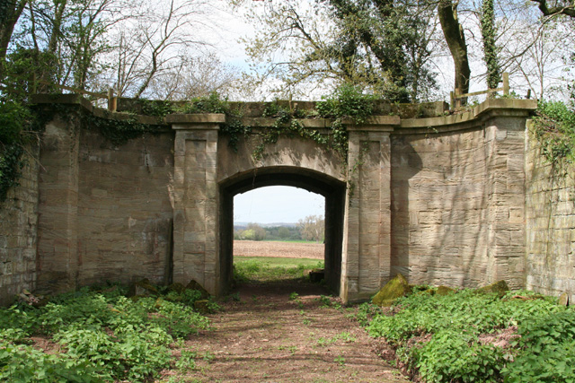
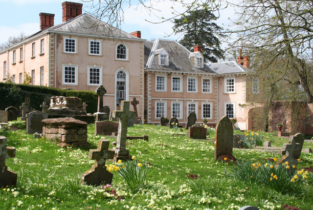
Beveland Copse Images
Images are sourced within 2km of 51.000729/-3.2245989 or Grid Reference ST1423. Thanks to Geograph Open Source API. All images are credited.


Beveland Copse is located at Grid Ref: ST1423 (Lat: 51.000729, Lng: -3.2245989)
Administrative County: Somerset
District: Somerset West and Taunton
Police Authority: Avon and Somerset
What 3 Words
///stables.newsprint.greed. Near Milverton, Somerset
Nearby Locations
Related Wikis

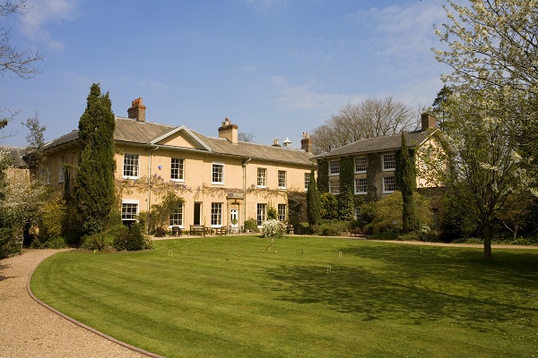
Nynehead Court
Nynehead Court is a Grade II* listed building at Nynehead in Somerset, England. == History == The building dates back to the late 14th century with major...

Nynehead
Nynehead is a village and civil parish in Somerset, England, situated on the River Tone, 7 miles (11 km) south-west of Taunton and 1.5 miles (2 km) north...

Longforth Farm
Longforth Farm, on the outskirts of Wellington, Somerset, England, is the site of a Bronze Age landscape and an extensive medieval structure.The previously...
Tone Dale House
Tone Dale House (or Tonedale House) is a Grade II listed country house built in 1801 or 1807 by Thomas Fox in Wellington, Somerset, England. Wellington...
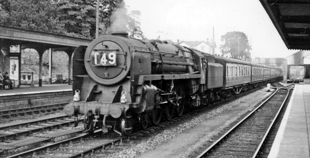
Wellington railway station (Somerset)
Wellington railway station was a former railway station located in Wellington in Somerset on the Bristol–Exeter line. It served the town between 1843...
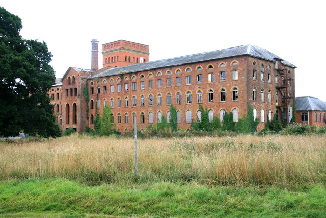
Tonedale Mills
Tonedale Mills, together with the neighbouring Tone Works, is a large textile mill in Wellington, Somerset, and the largest in South West England. Owned...

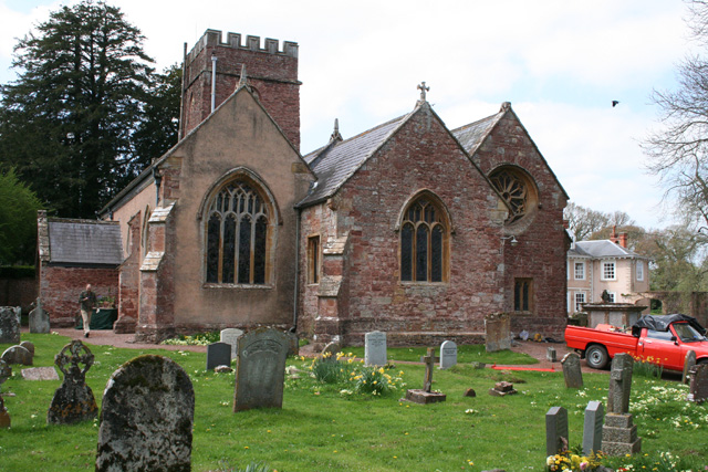
Church of St Bartholomew, Oake
The Church of St Bartholomew in Oake, Somerset, England was built in the 13th century. It is a Grade II* listed building. == History == The first part...
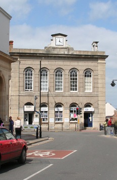
Wellington Town Hall, Somerset
Wellington Town Hall is a municipal building in Fore Street, Wellington, Somerset, England. The structure, which was previously used as a civic events...
Nearby Amenities
Located within 500m of 51.000729,-3.2245989Have you been to Beveland Copse?
Leave your review of Beveland Copse below (or comments, questions and feedback).