Forest Moss
Wood, Forest in Cumberland Copeland
England
Forest Moss
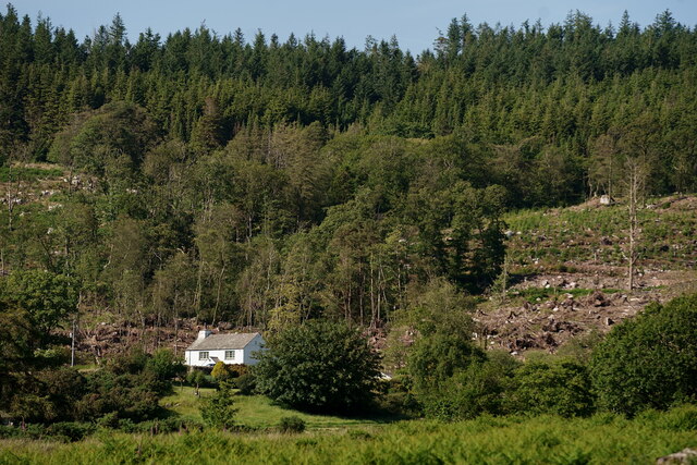
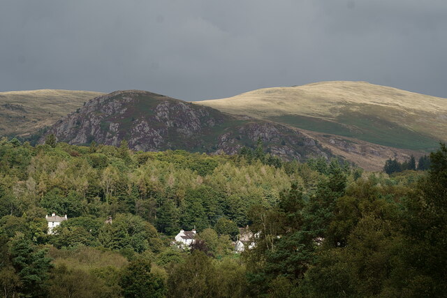
Forest Moss, Cumberland (Wood, Forest) is a picturesque forest located in the Cumberland region of England. Covering an area of approximately 500 acres, it is renowned for its lush greenery, diverse wildlife, and tranquil atmosphere.
The forest is primarily composed of various species of moss, giving it its name. The thick carpet of moss covers the forest floor, creating a soft and spongy surface. This unique feature not only adds to the aesthetic appeal of the forest but also plays a crucial role in maintaining soil moisture and preventing erosion.
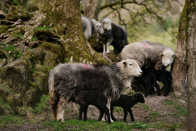
Cumberland Forest Moss is home to a wide range of flora and fauna. The dense canopy of trees provides ample shelter for numerous bird species, including woodpeckers, owls, and warblers. The forest is also inhabited by various mammal species, such as deer, foxes, and rabbits, which can often be spotted roaming freely amidst the trees.
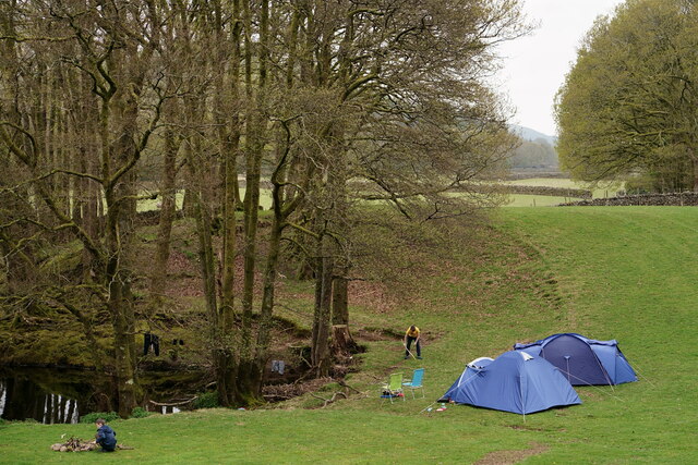
The forest offers a multitude of recreational activities for visitors. Numerous trails wind through the woodland, providing opportunities for hiking, jogging, and nature walks. The serene surroundings make it an ideal spot for birdwatching and wildlife photography. Additionally, there are designated picnic areas and camping spots for those looking to spend a night under the stars.
Forest Moss, Cumberland (Wood, Forest) is not only a haven for nature enthusiasts but also serves as an important ecological site, contributing to the overall biodiversity and environmental health of the region.
If you have any feedback on the listing, please let us know in the comments section below.
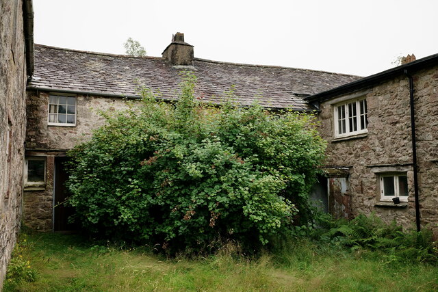
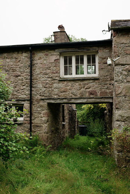
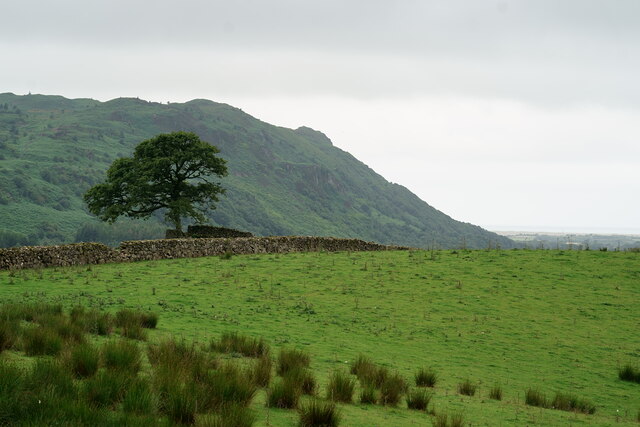
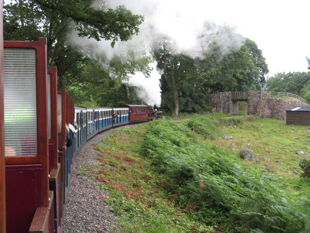
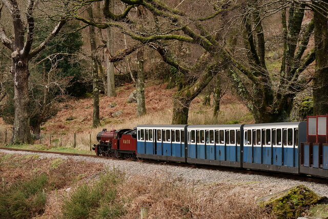
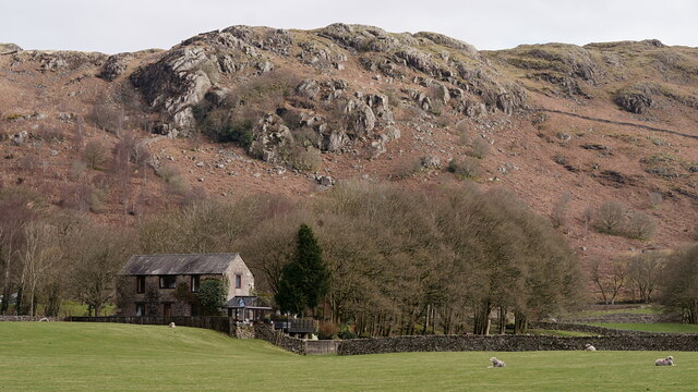
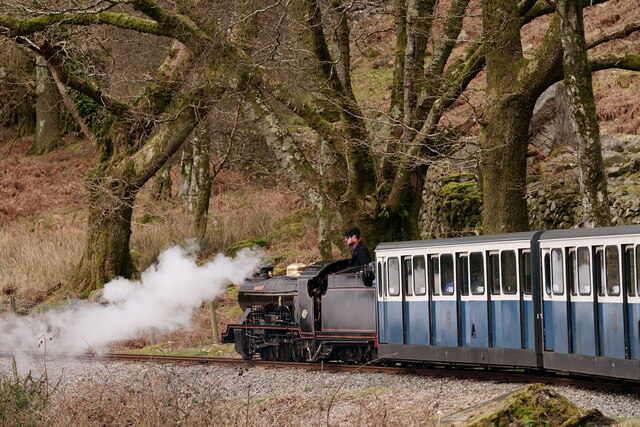
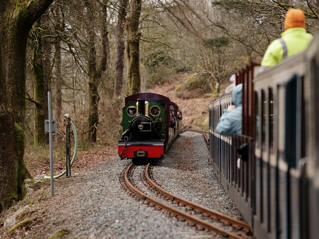
Forest Moss Images
Images are sourced within 2km of 54.385017/-3.3270171 or Grid Reference SD1399. Thanks to Geograph Open Source API. All images are credited.

Forest Moss is located at Grid Ref: SD1399 (Lat: 54.385017, Lng: -3.3270171)
Administrative County: Cumbria
District: Copeland
Police Authority: Cumbria
What 3 Words
///acrobatic.sugar.movie. Near Seascale, Cumbria
Nearby Locations
Related Wikis

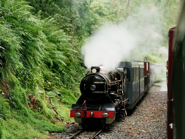
Irton Road railway station
Irton Road railway station is a railway station on the 15 in gauge Ravenglass & Eskdale Railway in the Lake District National Park and the English county...
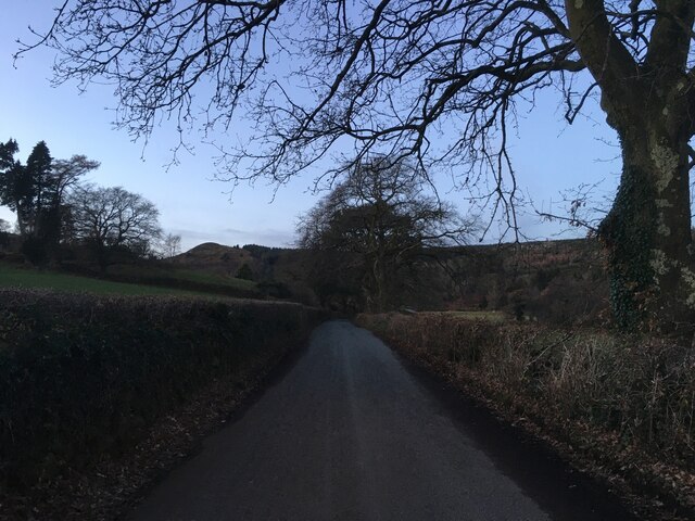
Eskdale Green
Eskdale Green is a village in Cumbria, England, 10 miles west of Coniston. Historically in Cumberland, it lies off the A595 road and is one of the few...
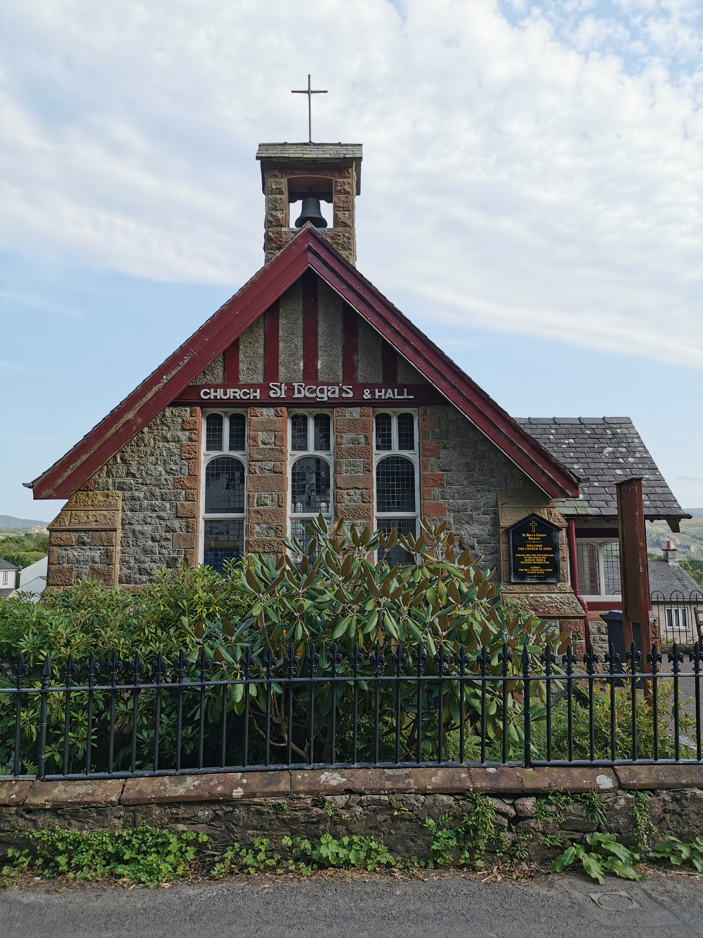
St Bega, Eskdale
St Bega is in Eskdale, Cumbria, England. It is an active Anglican parish church in the deanery of Calder, and the diocese of Carlisle. Its benefice is...
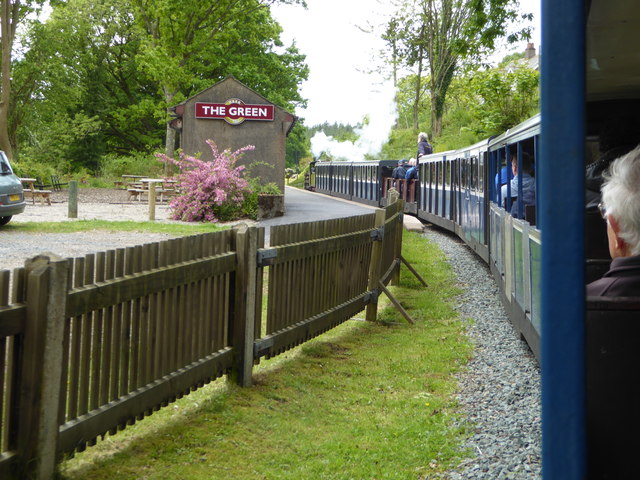
The Green railway station
The Green is a railway station on the 15-inch gauge Ravenglass & Eskdale Railway in the Lake District National Park and the English county of Cumbria....
Nearby Amenities
Located within 500m of 54.385017,-3.3270171Have you been to Forest Moss?
Leave your review of Forest Moss below (or comments, questions and feedback).