Goosemoor Copse

Wood, Forest in Somerset Somerset West and Taunton

England

Goosemoor Copse

Somerset County Council fingerpost, A358-Stickle Hill junction SCC fingerpost condition in July 2021, prior to refurbishment. Located on the A358 near Crowcombe village, at the junction with Stickle Hill.
Somerset County Council fingerpost, A358-Stickle Hill junction Credit: Marika Reinholds

Goosemoor Copse is a picturesque woodland located in Somerset, England. Covering an area of approximately 200 acres, this enchanting forest is a haven for nature lovers and hikers alike. The copse is situated near the village of Goosemoor and is easily accessible by foot or car.

The woodland is characterized by a diverse range of tree species, including oak, beech, and birch. These majestic trees provide a beautiful canopy, creating a serene and peaceful atmosphere. The forest floor is covered in a thick layer of moss and ferns, adding to the enchanting ambiance.

Goosemoor Copse is home to a variety of wildlife, making it a popular destination for birdwatchers and nature enthusiasts. Visitors may spot species such as woodpeckers, owls, and even the occasional deer. The copse also boasts a rich biodiversity, with numerous insects, butterflies, and fungi to be discovered.

The woodland features several well-maintained walking trails, offering visitors the opportunity to explore its natural beauty. These paths wind through the forest, providing stunning views of the surrounding countryside. Along the way, there are designated picnic areas where visitors can rest and enjoy a meal amidst the tranquil surroundings.

Goosemoor Copse is not only a place of natural beauty but also a site of historical importance. There are remnants of ancient settlements and burial mounds within the woodland, offering a glimpse into the area's rich past.

Overall, Goosemoor Copse is a true gem in the Somerset countryside. Its stunning woodland, diverse wildlife, and historical significance make it a must-visit destination for nature enthusiasts and history buffs alike.

If you have any feedback on the listing, please let us know in the comments section below.

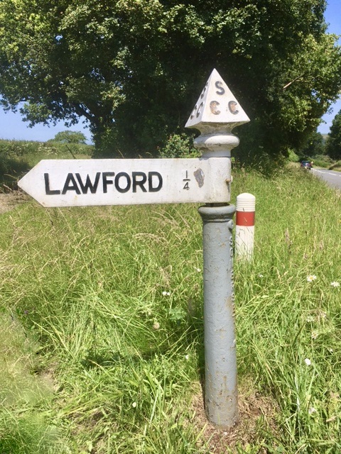
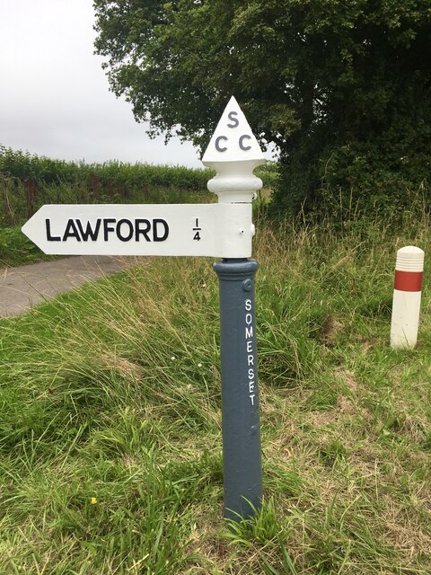
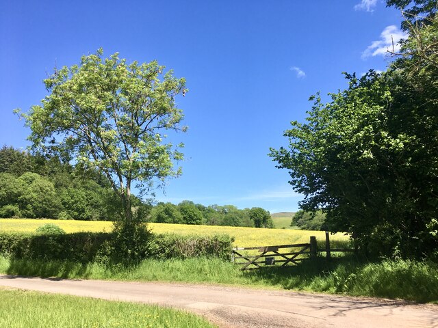
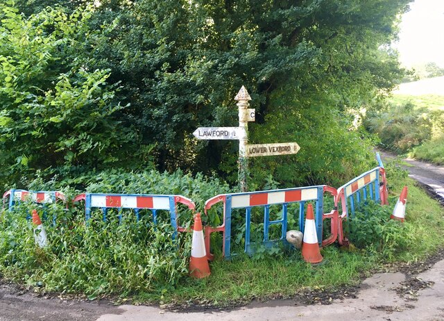
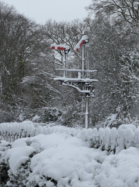
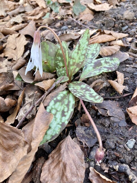
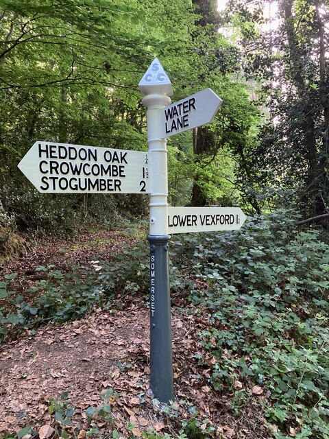
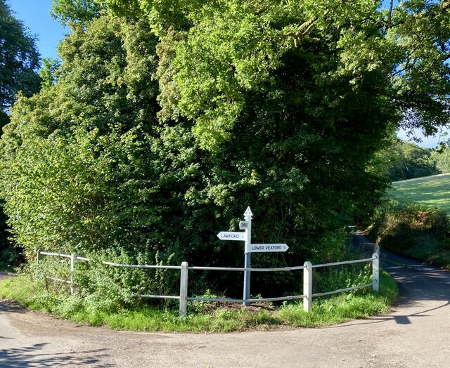
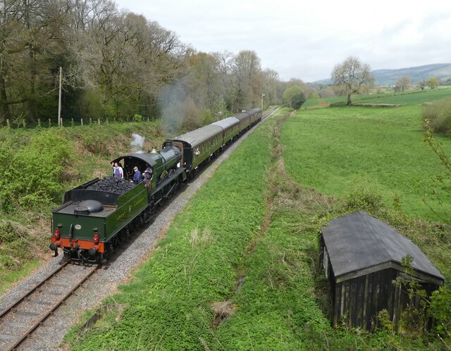
Goosemoor Copse Images

Images are sourced within 2km of 51.115351/-3.2498292 or Grid Reference ST1235. Thanks to Geograph Open Source API. All images are credited.

Somerset County Council fingerpost, A358-Stickle Hill junction SCC fingerpost condition in July 2021, prior to refurbishment. Located on the A358 near Crowcombe village, at the junction with Stickle Hill.
Somerset County Council fingerpost, A358-Stickle Hill junction
SCC fingerpost condition in July 2021, prior to refurbishment. Located on the A358 near Crowcombe village, at the junction with Stickle Hill.
Somerset County Council fingerpost, A358-Stickle Hill junction SCC fingerpost on the A358 near Crowcombe, at the junction with Stickle Hill, leading to the hamlet of Lawford. Fingerpost condition after being refurbished as part of SCC's fingerpost refurbishment project. Work completed in August 2021 by 2 volunteers working on behalf of Crowcombe Parish Council, which supplied all paints and consumables.
Somerset County Council fingerpost, A358-Stickle Hill junction
SCC fingerpost on the A358 near Crowcombe, at the junction with Stickle Hill, leading to the hamlet of Lawford. Fingerpost condition after being refurbished as part of SCC's fingerpost refurbishment project. Work completed in August 2021 by 2 volunteers working on behalf of Crowcombe Parish Council, which supplied all paints and consumables.
Train entering Crowcombe Heathfield station GWR 'Manor' 4-6-0 No. 7802 'Bradley Manor' entering Crowcombe Heathfield station on the West Somerset Railway with a train from Minehead to Bishops Lydeard.  The GWR 'Manor' class locomotives were a useful mixed traffic engine, designed by Charles Collett prior to WW2. Thirty locomotives were built, and nine survive - they are ideal engines for use on preserved railways.
Train entering Crowcombe Heathfield station
GWR 'Manor' 4-6-0 No. 7802 'Bradley Manor' entering Crowcombe Heathfield station on the West Somerset Railway with a train from Minehead to Bishops Lydeard. The GWR 'Manor' class locomotives were a useful mixed traffic engine, designed by Charles Collett prior to WW2. Thirty locomotives were built, and nine survive - they are ideal engines for use on preserved railways.
Gateway to Homeleigh Meadow Access on to public right of way footpath reference WL5/8 is to the right of the field gate at Homeleigh Meadow. The Quantock Hills can be seen in the gap between the trees in the distance.
Gateway to Homeleigh Meadow
Access on to public right of way footpath reference WL5/8 is to the right of the field gate at Homeleigh Meadow. The Quantock Hills can be seen in the gap between the trees in the distance.
Male blackcap warbler First blackcap of the Spring heard singing on Station Road, Crowcombe Heathfield. Some blackcaps are now permanent residents in Great Britain.
Male blackcap warbler
First blackcap of the Spring heard singing on Station Road, Crowcombe Heathfield. Some blackcaps are now permanent residents in Great Britain.
Oil Beetle The scarce oil beetle, spotted on the road in Crowcombe Heathfield. See link for more information about this iridescent creature <span class="nowrap"><a title="https://www.buglife.org.uk/projects/oil-beetle" rel="nofollow ugc noopener" href="https://www.buglife.org.uk/projects/oil-beetle">Link</a><img style="margin-left:2px;" alt="External link" title="External link - shift click to open in new window" src="https://s1.geograph.org.uk/img/external.png" width="10" height="10"/></span>.
Oil Beetle
The scarce oil beetle, spotted on the road in Crowcombe Heathfield. See link for more information about this iridescent creature LinkExternal link.
SCC fingerpost near the hamlet of Lawford, Crowcombe parish The photograph, taken in September 2021, shows the latest condition of this Somerset County Council fingerpost, located at the junctions of Stickle Hill and Heddon Wood Lane. Although it is part of the SCC Fingerpost Restoration project, and is awaiting restoration by 2 volunteers working on behalf of Crowcombe parish, it is currently cordoned off by the SCC Highways Team (for safety reasons possibly - the post is very close to the edge of a steep drop of 10/15 foot to a stream below).
Other Geographers have previously recorded the post condition; in April 2009 (when it still has its 'CROWCOMBE' arm) and again in June 2018.
SCC fingerpost near the hamlet of Lawford, Crowcombe parish
The photograph, taken in September 2021, shows the latest condition of this Somerset County Council fingerpost, located at the junctions of Stickle Hill and Heddon Wood Lane. Although it is part of the SCC Fingerpost Restoration project, and is awaiting restoration by 2 volunteers working on behalf of Crowcombe parish, it is currently cordoned off by the SCC Highways Team (for safety reasons possibly - the post is very close to the edge of a steep drop of 10/15 foot to a stream below). Other Geographers have previously recorded the post condition; in April 2009 (when it still has its 'CROWCOMBE' arm) and again in June 2018.
Frozen signals Snow covered signal arms and gantry at Crowcombe Heathfield railway station on The West Somerset Railway. Luckily, no passenger services were running on this day.
Frozen signals
Snow covered signal arms and gantry at Crowcombe Heathfield railway station on The West Somerset Railway. Luckily, no passenger services were running on this day.
The platform and station building, Crowcombe Heathfield station The view is taken from a train heading for Minehead, on the West Somerset Railway.
The platform and station building, Crowcombe Heathfield station
The view is taken from a train heading for Minehead, on the West Somerset Railway.
Station building, Crowcombe Heathfield station The view was taken from a train heading for Minehead, on the West Somerset Railway.
Station building, Crowcombe Heathfield station
The view was taken from a train heading for Minehead, on the West Somerset Railway.
The end of the platform and passenger crossing, Crowcombe Heathfield station
White trout lily Erythonium albidum. This unusual plant was spotted under trees in undisturbed roadside verge. It is native to North America. It may be a garden escapee. It is also known as fawn lily, white dogs toothed violet, serpent's tongue, adder's tongue, deer tongue.
White trout lily
Erythonium albidum. This unusual plant was spotted under trees in undisturbed roadside verge. It is native to North America. It may be a garden escapee. It is also known as fawn lily, white dogs toothed violet, serpent's tongue, adder's tongue, deer tongue.
Somerset County Council fingerpost - South of Heddon Oak-Water Lane junction A fingerpost was recently refurbished as part of the Somerset County Council fingerpost restoration project. Repainting was undertaken by 2 volunteers working on behalf of Crowcombe parish. A new 'Water Lane' arm was made and fitted to replace one that was snapped off years ago, probably by a large vehicle. The new arm, along with the paints and other materials needed was funded by Crowcombe parish council.

The post condition before refurbishment can be viewed on a previous Geographer's image, dating back to 5 June 2018.
Somerset County Council fingerpost - South of Heddon Oak-Water Lane junction
A fingerpost was recently refurbished as part of the Somerset County Council fingerpost restoration project. Repainting was undertaken by 2 volunteers working on behalf of Crowcombe parish. A new 'Water Lane' arm was made and fitted to replace one that was snapped off years ago, probably by a large vehicle. The new arm, along with the paints and other materials needed was funded by Crowcombe parish council. The post condition before refurbishment can be viewed on a previous Geographer's image, dating back to 5 June 2018.
Toadstool Mycena Rosea Not recommended for eating !
See link for more information about this pretty toadstool <span class="nowrap"><a title="https://www.first-nature.com/fungi/mycena-rosea.php" rel="nofollow ugc noopener" href="https://www.first-nature.com/fungi/mycena-rosea.php">Link</a><img style="margin-left:2px;" alt="External link" title="External link - shift click to open in new window" src="https://s1.geograph.org.uk/img/external.png" width="10" height="10"/></span>.
Toadstool Mycena Rosea
Not recommended for eating ! See link for more information about this pretty toadstool LinkExternal link.
New barriers in the hamlet of Lawford, Crowcombe parish Replacement barriers were installed at the Stickle Hill - Heddon Wood Lane junction in early 2022 - behind the safety barriers is a sharp drop into a sunken stream. An earlier photograph, loaded in September 2021, shows the poor barrier condition at that time.
New barriers in the hamlet of Lawford, Crowcombe parish
Replacement barriers were installed at the Stickle Hill - Heddon Wood Lane junction in early 2022 - behind the safety barriers is a sharp drop into a sunken stream. An earlier photograph, loaded in September 2021, shows the poor barrier condition at that time.
Somerset County Council fingerpost in the hamlet of Lawford, Crowcombe parish This fingerpost, at the junction of Stickle Hill and Heddon Wood Lane, was refurbished in August 2022 as part of the Somerset County Council fingerpost restoration project. Repainting was undertaken by 2 volunteers working on behalf of Crowcombe parish. A new 'Crowcombe' arm was made and fitted to replace one that was snapped off years ago, probably by a large farm vehicle. The new arm, along with the paints and materials needed for the refurbishment was funded by Crowcombe parish council. New safety barriers were also installed in 2022, by Somerset County Council.
Somerset County Council fingerpost in the hamlet of Lawford, Crowcombe parish
This fingerpost, at the junction of Stickle Hill and Heddon Wood Lane, was refurbished in August 2022 as part of the Somerset County Council fingerpost restoration project. Repainting was undertaken by 2 volunteers working on behalf of Crowcombe parish. A new 'Crowcombe' arm was made and fitted to replace one that was snapped off years ago, probably by a large farm vehicle. The new arm, along with the paints and materials needed for the refurbishment was funded by Crowcombe parish council. New safety barriers were also installed in 2022, by Somerset County Council.
'Lady of Legend' approaches Crowcombe Heathfield, from the west
'Heritage' goods train heads for Minehead
Show me another place!

Goosemoor Copse is located at Grid Ref: ST1235 (Lat: 51.115351, Lng: -3.2498292)

Administrative County: Somerset

District: Somerset West and Taunton

Police Authority: Avon and Somerset

What 3 Words

///mistaken.laugh.guises. Near Williton, Somerset

Related Wikis

Nearby Amenities

Located within 500m of 51.115351,-3.2498292
Level Crossing: traffic_signals
Railway: level_crossing
Lat/Long: 51.1172558/-3.2518589
Railway: crossing
Lat/Long: 51.1163059/-3.2458835
Give Way
Direction: backward
Lat/Long: 51.1154681/-3.2524091
Addr Housename: Leigh Cottage
Lat/Long: 51.1165177/-3.2524287
Addr Housename: Roebuck Farm
Lat/Long: 51.11706/-3.2435475
The data included in this document is from www.openstreetmap.org. The data is made available under ODbL.

Have you been to Goosemoor Copse?

Leave your review of Goosemoor Copse below (or comments, questions and feedback).