Fatty Copse
Wood, Forest in Somerset Somerset West and Taunton
England
Fatty Copse
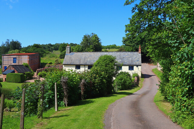
Fatty Copse is a small woodland located in Somerset, England. Situated near the village of Cheddar, it covers an area of approximately 10 hectares. The copse is characterized by its dense growth of trees, predominantly consisting of oak and beech varieties, which provide a diverse and vibrant ecosystem.
The woodland is known for its rich biodiversity and serves as a habitat for a wide range of flora and fauna. Fatty Copse boasts an array of plant species, including bluebells, primroses, and wild garlic, which create a colorful and picturesque landscape during springtime. The tree canopy provides shade and shelter for various bird species, such as woodpeckers and tawny owls, making it a popular spot for birdwatchers.
Fatty Copse offers several walking trails and footpaths that allow visitors to explore its natural beauty. The paths wind through the woods, offering glimpses of sunlight filtering through the foliage and the soothing sound of birdsong. The copse is also home to a small stream, which adds to its charm and provides a peaceful ambiance.
The woodland has historical significance as well. It is believed to have been part of the ancient Selwood Forest, which covered a vast area during medieval times. Although much of the forest has been cleared over the centuries, Fatty Copse remains as a reminder of the region's ancient woodland heritage.
Overall, Fatty Copse in Somerset is a tranquil and enchanting woodland, offering visitors a chance to immerse themselves in nature and appreciate the beauty of the British countryside.
If you have any feedback on the listing, please let us know in the comments section below.
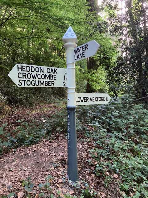
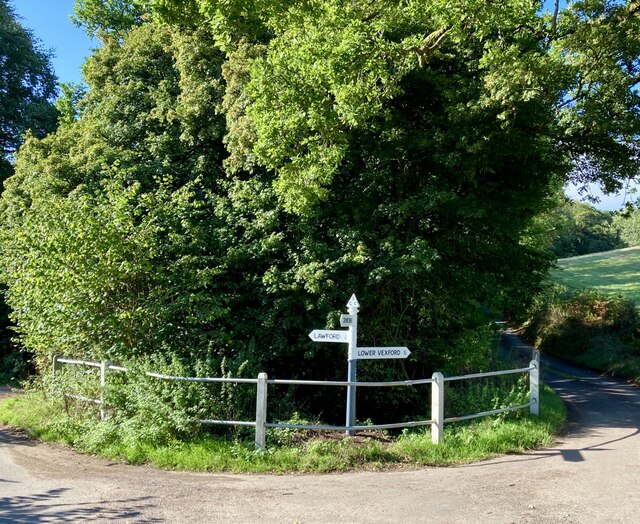
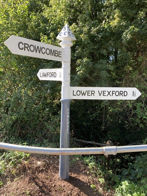
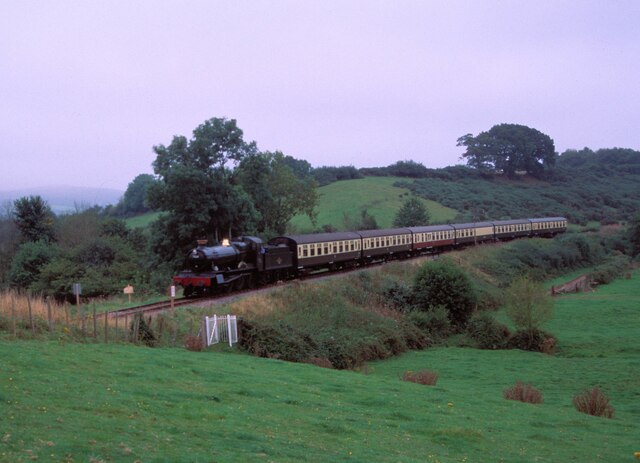
Fatty Copse Images
Images are sourced within 2km of 51.12303/-3.2583243 or Grid Reference ST1236. Thanks to Geograph Open Source API. All images are credited.


Fatty Copse is located at Grid Ref: ST1236 (Lat: 51.12303, Lng: -3.2583243)
Administrative County: Somerset
District: Somerset West and Taunton
Police Authority: Avon and Somerset
What 3 Words
///captions.busy.interacts. Near Williton, Somerset
Nearby Locations
Related Wikis

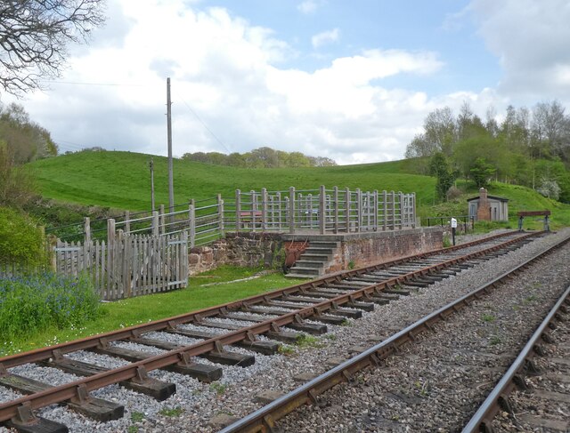
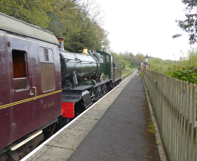
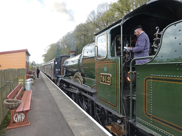
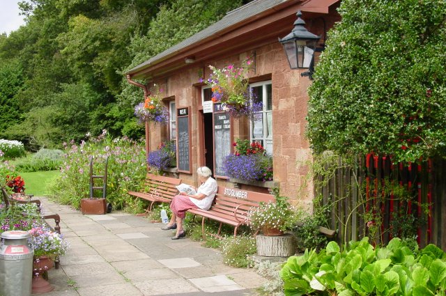
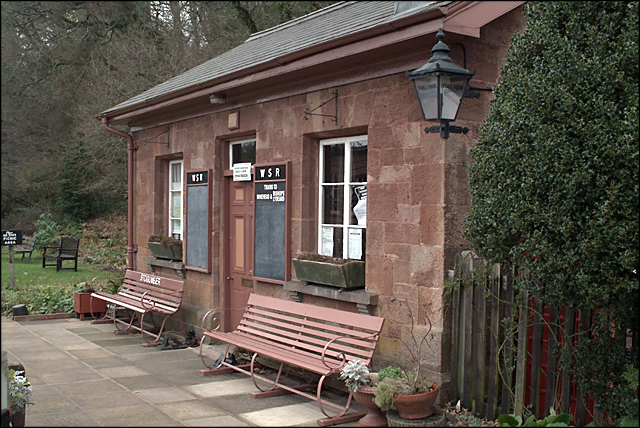
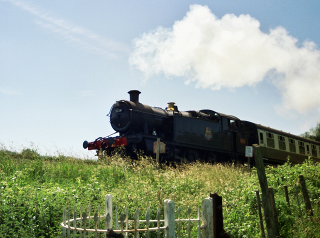
Stogumber railway station
Stogumber railway station is a station in Kingswood, Somerset, England which serves the nearby village of Stogumber. It was opened by the West Somerset...

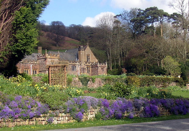
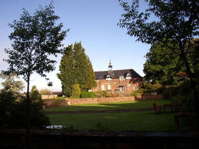
Halsway Manor
Halsway Manor (also known as Halsway Court) is a manor house in Halsway, Somerset. It is owned by the Halsway Manor Society who operate the manor as a...

Roebuck Meadows
Roebuck Meadows (grid reference ST132354) is a 3.6 hectare (8.9 acre) biological Site of Special Scientific Interest south of Crowcombe in Somerset, notified...

Crowcombe Court
Crowcombe Court in Crowcombe, Somerset, England is a large country house dating from 1724 to 1739. It is Grade I listed. It was built, in English regional...
Nearby Amenities
Located within 500m of 51.12303,-3.2583243Have you been to Fatty Copse?
Leave your review of Fatty Copse below (or comments, questions and feedback).