Burnhill Covert
Wood, Forest in Somerset Somerset West and Taunton
England
Burnhill Covert
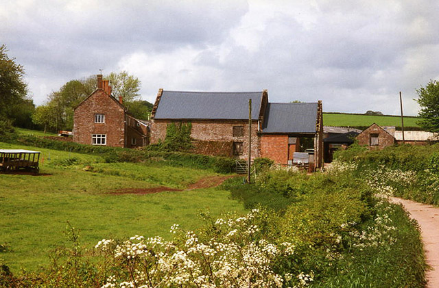
Burnhill Covert is a picturesque woodland located in Somerset, England. Covering an area of approximately 50 acres, it is a haven for nature enthusiasts and those seeking a peaceful retreat. The woodland is situated in the heart of the county, surrounded by rolling hills and charming villages.
The main feature of Burnhill Covert is its dense canopy of trees, which consists primarily of oak, beech, and ash. The tall, majestic trees create a tranquil atmosphere and provide a habitat for a variety of woodland creatures. Visitors to the covert may be lucky enough to spot deer, foxes, badgers, and a wide array of bird species.
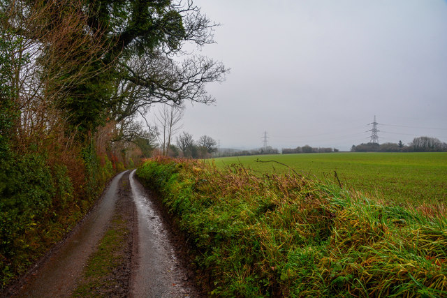
Tranquil walking trails wind their way through the woodland, offering visitors the opportunity to explore the area at their own pace. The paths are well-maintained and provide easy access for all visitors, including families with young children and individuals with mobility challenges.
Spring is a particularly enchanting time to visit Burnhill Covert, as the forest floor comes alive with a carpet of colorful wildflowers. Bluebells, primroses, and wood anemones are just a few of the species that bloom during this time, creating a stunning display of natural beauty.
In addition to its natural wonders, Burnhill Covert also boasts a small picnic area, where visitors can relax and enjoy a meal amidst the serene surroundings. There are also designated areas for birdwatching and photography, allowing visitors to capture the essence of this enchanting woodland.
Overall, Burnhill Covert is a hidden gem in Somerset, offering a peaceful escape from the hustle and bustle of everyday life. Its natural beauty and diverse wildlife make it a must-visit destination for nature lovers and those seeking a tranquil retreat.
If you have any feedback on the listing, please let us know in the comments section below.
Burnhill Covert Images
Images are sourced within 2km of 51.015415/-3.2650457 or Grid Reference ST1124. Thanks to Geograph Open Source API. All images are credited.


Burnhill Covert is located at Grid Ref: ST1124 (Lat: 51.015415, Lng: -3.2650457)
Administrative County: Somerset
District: Somerset West and Taunton
Police Authority: Avon and Somerset
What 3 Words
///circulate.explain.comical. Near Milverton, Somerset
Nearby Locations
Related Wikis
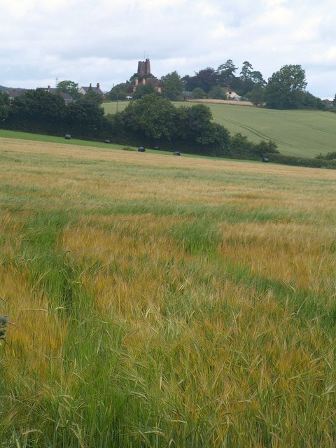
Milverton, Somerset
Milverton is a village and civil parish in Somerset, England, situated in the valley of the River Tone 5 miles (8.0 km) west of Taunton. The village has...

The Old House, Milverton
The Old House in Milverton in Somerset, England is a Grade II* listed building dating from the late 14th and early 15th century, although there may also...
Langford Budville
Langford Budville is a village and civil parish in Somerset, England, situated near the River Tone 2 miles (3.2 km) north-west of Wellington, 4.5 miles...

Langford Heathfield
Langford Heathfield (grid reference ST100235) is a 95.4 hectare (235.7 acre) biological Site of Special Scientific Interest at Langford Budville, 3 km...
Holme Moor & Clean Moor
Holme Moor & Clean Moor (grid reference ST095260) is a 10.8 hectare (26.7 acre) biological Site of Special Scientific Interest south of Wiveliscombe in...

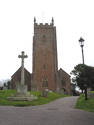
Church of St Peter and St Paul, Runnington
The Anglican Church of St Peter and St Paul at Runnington in Langford Budville, Somerset, England was built in the 15th century. It is a Grade II* listed...

Nynehead Court
Nynehead Court is a Grade II* listed building at Nynehead in Somerset, England. == History == The building dates back to the late 14th century with major...
Nynehead
Nynehead is a village and civil parish in Somerset, England, situated on the River Tone, 7 miles (11 km) south-west of Taunton and 1.5 miles (2 km) north...
Nearby Amenities
Located within 500m of 51.015415,-3.2650457Have you been to Burnhill Covert?
Leave your review of Burnhill Covert below (or comments, questions and feedback).