Horseclose Wood

Wood, Forest in Cumberland Copeland

England

Horseclose Wood

Whitecroft, Santon Santon is a tiny hamlet about half a mile from Santon Bridge on the road to Gosforth. This row of cottages, which includes holiday lets, is the most prominent building.
Whitecroft, Santon Credit: Stephen McKay

Horseclose Wood is a beautiful forest located in Cumberland, England. Covering an area of approximately 1,000 acres, it is a haven for nature enthusiasts and outdoor adventurers. The wood is situated in close proximity to the charming village of Horseclose, which adds to its allure.

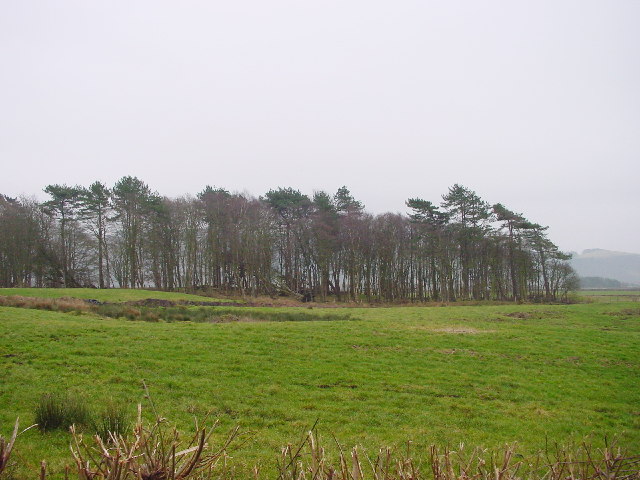
The forest is known for its diverse range of trees, including oak, beech, pine, and birch, creating a stunning tapestry of colors throughout the seasons. The woodland floor is carpeted with a rich variety of wildflowers, making it a picturesque sight for visitors. The dense canopy provides a sanctuary for a wide array of bird species, making it a popular spot for birdwatching enthusiasts.

Horseclose Wood offers a network of well-maintained trails, allowing visitors to explore its beauty at their own pace. Whether on foot, horseback, or bicycle, these trails cater to all types of outdoor activities. Along these trails, one can stumble upon hidden streams, cascading waterfalls, and tranquil ponds, adding to the overall enchantment of the forest.

For those seeking a more immersive experience, Horseclose Wood also offers camping facilities, allowing visitors to spend a night under the stars. The serene atmosphere and absence of light pollution make it an ideal location for stargazing.

Overall, Horseclose Wood in Cumberland is a nature lover's paradise. Its breathtaking scenery, abundant wildlife, and recreational opportunities make it a must-visit destination for anyone seeking solace in the beauty of the natural world.

If you have any feedback on the listing, please let us know in the comments section below.

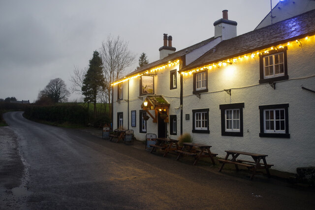
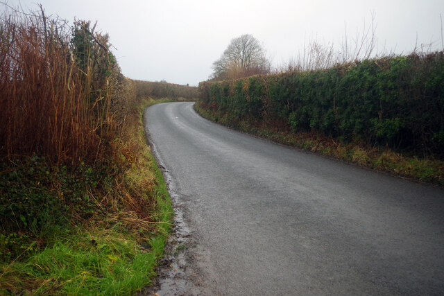
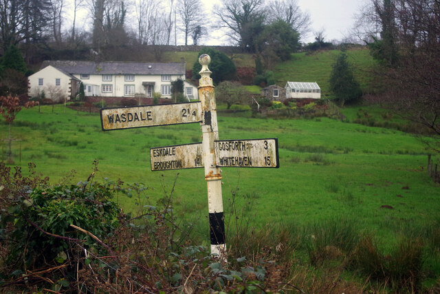
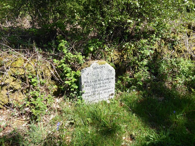
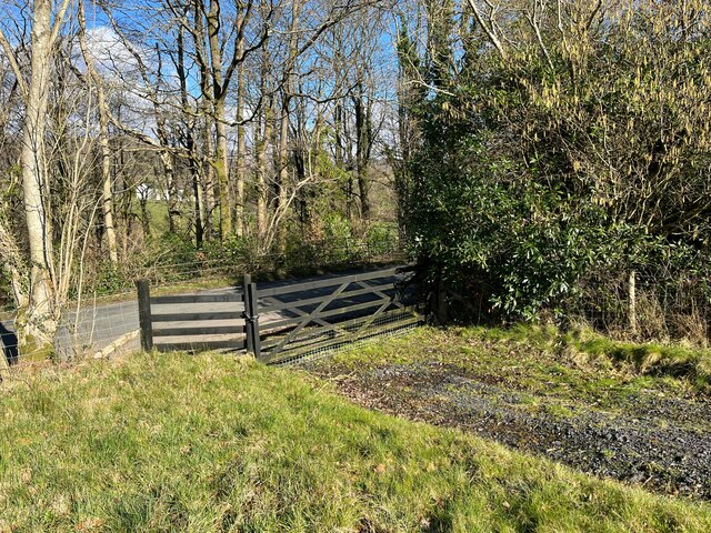
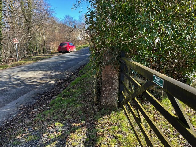
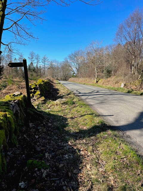
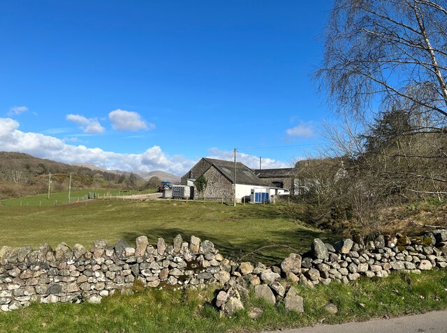
Horseclose Wood Images

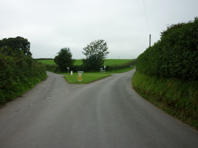
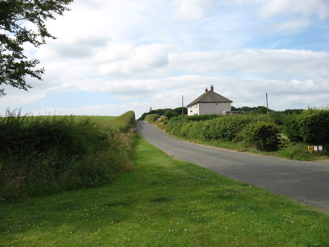
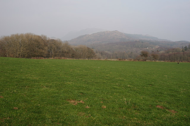
Images are sourced within 2km of 54.393161/-3.3671867 or Grid Reference NY1100. Thanks to Geograph Open Source API. All images are credited.

Whitecroft, Santon Santon is a tiny hamlet about half a mile from Santon Bridge on the road to Gosforth. This row of cottages, which includes holiday lets, is the most prominent building.
Whitecroft, Santon
Santon is a tiny hamlet about half a mile from Santon Bridge on the road to Gosforth. This row of cottages, which includes holiday lets, is the most prominent building.
Road junction in Santon
The road junction at Santon
Leaving Santon village On the road to Gosforth.
Leaving Santon village
On the road to Gosforth.
View Towards Irton Pike Seen from the path between Irton church and Irton Hall.
View Towards Irton Pike
Seen from the path between Irton church and Irton Hall.
Whinneyhill Coppice
Whinneyhill Coppice
The Bridge Inn, Santon Bridge Early morning on a thoroughly dismal day (although it was to brighten up later), but the lights of the Bridge Inn, an old coaching stop, make it look welcoming. Inside guests will be tucking in to a full 'Cumbrian breakfast'. This is the venue for the annual World's Biggest Liar competition, as a plaque on the wall tells us.
The Bridge Inn, Santon Bridge
Early morning on a thoroughly dismal day (although it was to brighten up later), but the lights of the Bridge Inn, an old coaching stop, make it look welcoming. Inside guests will be tucking in to a full 'Cumbrian breakfast'. This is the venue for the annual World's Biggest Liar competition, as a plaque on the wall tells us.
Whitecroft, Santon Bridge This is the lane that connects the hamlets of Santon and Santon Bridge, just over half a mile apart. The Bridge Inn is behind the photographer.
Whitecroft, Santon Bridge
This is the lane that connects the hamlets of Santon and Santon Bridge, just over half a mile apart. The Bridge Inn is behind the photographer.
Home of the World's Biggest Liar Competition This plaque is fixed to the Bridge Inn, venue for one of the more obscure world sporting events. Held in November each year, it commemorates a local 19th century publican, Will Ritson who was known for his tall tales. Contestants have to stand up in front of the often well-oiled audience and tell their stories - the best of whom is judged the winner.
Home of the World's Biggest Liar Competition
This plaque is fixed to the Bridge Inn, venue for one of the more obscure world sporting events. Held in November each year, it commemorates a local 19th century publican, Will Ritson who was known for his tall tales. Contestants have to stand up in front of the often well-oiled audience and tell their stories - the best of whom is judged the winner.
Signpost at Santon Bridge This signpost, which could do with some sprucing up, points the way at the junction just east of the bridge over the River Irt.
Signpost at Santon Bridge
This signpost, which could do with some sprucing up, points the way at the junction just east of the bridge over the River Irt.
The Bridge Inn, Santon Bridge The day was dismal and wet but at least this old coaching inn adds a touch of brightness.
The Bridge Inn, Santon Bridge
The day was dismal and wet but at least this old coaching inn adds a touch of brightness.
The Malkinson Memorial Beside the road from Eskdale Green to Santon Bridge, this small stone memorial bears the following inscription:
'In memory of William Malkinson
Wesleyan Local Preacher
Died here suddenly Sunday Feb 21 1886
Be ye also ready'
The Malkinson Memorial
Beside the road from Eskdale Green to Santon Bridge, this small stone memorial bears the following inscription: 'In memory of William Malkinson Wesleyan Local Preacher Died here suddenly Sunday Feb 21 1886 Be ye also ready'
Field Gate, Force Bank
Sandstone gatepost, Force Bank There is an Ordnance Survey cut benchmark on the face of the gatepost, it is worn and so well camouflaged with lichen that it is difficult to see (photograph <a href="https://www.geograph.org.uk/photo/7112231">NY1001 : Benchmark, Santon Bridge, Force Bank</a>).
Sandstone gatepost, Force Bank
There is an Ordnance Survey cut benchmark on the face of the gatepost, it is worn and so well camouflaged with lichen that it is difficult to see (photograph NY1001 : Benchmark, Santon Bridge, Force Bank).
Benchmark, Santon Bridge, Force Bank Detail of the Ordnance Survey cut benchmark on a sandstone field gatepost at Force Bank. The benchmark marks a height of 32.8209m above mean sea level (Ordnance Datum Newlyn) last verified in 1956 (location photograph <a href="https://www.geograph.org.uk/photo/7112223">NY1001 : Sandstone gatepost, Force Bank</a>).
The benchmark is worn and so well camouflaged with lichen that it is difficult to see.
Benchmark, Santon Bridge, Force Bank
Detail of the Ordnance Survey cut benchmark on a sandstone field gatepost at Force Bank. The benchmark marks a height of 32.8209m above mean sea level (Ordnance Datum Newlyn) last verified in 1956 (location photograph NY1001 : Sandstone gatepost, Force Bank). The benchmark is worn and so well camouflaged with lichen that it is difficult to see.
Benchmark, Irton Park Detail of the Ordnance Survey pivot benchmark on a granite rock on the verge of the road from Eskdale Green to Santon Bridge. The benchmark marks a height of 105.7473m above mean sea level (Ordnance Datum Newlyn) last verified in 1956 (location photograph <a href="https://www.geograph.org.uk/photo/7113106">NY1101 : The road from Eskdale Green to Santon Bridge</a>).
Benchmark, Irton Park
Detail of the Ordnance Survey pivot benchmark on a granite rock on the verge of the road from Eskdale Green to Santon Bridge. The benchmark marks a height of 105.7473m above mean sea level (Ordnance Datum Newlyn) last verified in 1956 (location photograph NY1101 : The road from Eskdale Green to Santon Bridge).
The road from Eskdale Green to Santon Bridge The footpath to the left leads to Plumgarth.  There is an Ordnance Survey pivot benchmark on the rock in the grass verge beyond the footpath sign (photograph <a href="https://www.geograph.org.uk/photo/7113067">NY1101 : Benchmark, Irton Park</a> and The Malkinson Memorial is on the opposite side of the road (photograph <a href="https://www.geograph.org.uk/photo/7086564">NY1101 : The Malkinson Memorial</a>).
The road from Eskdale Green to Santon Bridge
The footpath to the left leads to Plumgarth. There is an Ordnance Survey pivot benchmark on the rock in the grass verge beyond the footpath sign (photograph NY1101 : Benchmark, Irton Park and The Malkinson Memorial is on the opposite side of the road (photograph NY1101 : The Malkinson Memorial).
Broken wall near Bridge End Farm Damaged by winter storms, the roadside wall awaits repair.
Broken wall near Bridge End Farm
Damaged by winter storms, the roadside wall awaits repair.
Show me another place!

Horseclose Wood is located at Grid Ref: NY1100 (Lat: 54.393161, Lng: -3.3671867)

Administrative County: Cumbria

District: Copeland

Police Authority: Cumbria

What 3 Words

///emerge.concerned.lectured. Near Seascale, Cumbria

Related Wikis

Santon Bridge

Santon Bridge is a small village in Copeland, Cumbria, England, at a bridge over the River Irt. The civil parish is called Irton with Santon. The population...

Irton with Santon

Irton with Santon is a civil parish in Copeland, Cumbria, England, which includes the village of Santon Bridge. It has a parish council. It had a population...

Irton Pike

Irton Pike is a hill in the west of the English Lake District, near Santon Bridge, Cumbria. It is the subject of a chapter of Alfred Wainwright's book...

Murthwaite Halt railway station

Murthwaite Halt railway station is a small intermediate railway station on the 15" gauge Ravenglass & Eskdale Railway in Cumbria, England. It is named...

Nearby Amenities

Located within 500m of 54.393161,-3.3671867
High Frith Gill
Place: locality
Lat/Long: 54.394643/-3.3691467
Barley Croft
Place: locality
Lat/Long: 54.3932465/-3.3690102
Parkgate Wood
Natural: wood
Lat/Long: 54.3909758/-3.3651881
Horseclose Wood
Natural: wood
Lat/Long: 54.3923496/-3.3671186
Tinkler Crags
Place: locality
Lat/Long: 54.3953189/-3.3651023
Turning Circle
Lat/Long: 54.3909966/-3.3613371
Parkgate
Place: locality
Lat/Long: 54.3896856/-3.3671866
Information: route_marker
Tourism: information
Lat/Long: 54.3901078/-3.3679465
Information: route_marker
Tourism: information
Lat/Long: 54.3894515/-3.3681179
Bicycle: yes
Foot: yes
Ford: yes
Horse: yes
Lat/Long: 54.3956546/-3.3621601
Sanitary Dump Station
Access: customers
Fee: no
Opening Hours: 24/7
Sanitary Dump Station Basin: yes
Lat/Long: 54.3893362/-3.3676447
Drinking Water
Lat/Long: 54.3893128/-3.3682452
Drinking Water
Indoor: yes
Lat/Long: 54.3892842/-3.3679326
Drinking Water
Lat/Long: 54.3889197/-3.3676687
Drinking Water
Lat/Long: 54.3893363/-3.3679875
Power: pole
Lat/Long: 54.3888142/-3.3690292
Power: pole
Lat/Long: 54.3893269/-3.3704316
Power: pole
Lat/Long: 54.3896386/-3.3712701
Power: pole
Lat/Long: 54.3902034/-3.3717922
Power: pole
Lat/Long: 54.3908491/-3.3723581
Power: pole
Lat/Long: 54.3913473/-3.3738254
The data included in this document is from www.openstreetmap.org. The data is made available under ODbL.

Have you been to Horseclose Wood?

Leave your review of Horseclose Wood below (or comments, questions and feedback).