Parkgate Tarn

Lake, Pool, Pond, Freshwater Marsh in Cumberland Copeland

England

Parkgate Tarn

The Bridge Inn, Santon Bridge Early morning on a thoroughly dismal day (although it was to brighten up later), but the lights of the Bridge Inn, an old coaching stop, make it look welcoming. Inside guests will be tucking in to a full 'Cumbrian breakfast'. This is the venue for the annual World's Biggest Liar competition, as a plaque on the wall tells us.
The Bridge Inn, Santon Bridge Credit: Stephen McKay

Parkgate Tarn, located in Cumberland, England, is a picturesque freshwater lake nestled in the heart of the countryside. Spanning an area of approximately 2.5 acres, it is a popular destination for nature enthusiasts and those seeking tranquility amidst natural beauty.

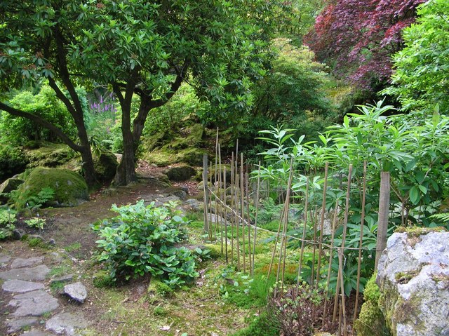
Surrounded by verdant hills and woodlands, Parkgate Tarn offers a serene and idyllic escape. Its crystal-clear waters shimmer under the sunlight, providing a stunning reflection of the surrounding landscape. The tarn is fed by natural springs, ensuring a constant flow of fresh water throughout the year.

The diverse ecosystem of Parkgate Tarn supports a variety of flora and fauna. The surrounding marshland is home to numerous species of waterfowl, including ducks, swans, and herons, which can often be seen gracefully gliding across the water. Dragonflies and damselflies flit among the reeds, adding a touch of vibrancy to the scenery.

The lake itself is a haven for aquatic life, with a rich population of fish, including perch, pike, and roach. Anglers can often be seen casting their lines, hoping to catch a prized specimen. The tranquil atmosphere and abundance of wildlife make Parkgate Tarn a prime spot for birdwatching and photography.

Visitors to Parkgate Tarn can enjoy a leisurely stroll along its peaceful shores, taking in the sights and sounds of nature. A small picnic area provides a perfect spot for families and friends to relax and enjoy a meal amidst the serene surroundings.

In conclusion, Parkgate Tarn is a delightful freshwater lake in Cumberland, offering a peaceful retreat for those seeking solace in nature. With its scenic beauty, diverse wildlife, and tranquil ambiance, it is a must-visit destination for nature lovers and outdoor enthusiasts alike.

If you have any feedback on the listing, please let us know in the comments section below.

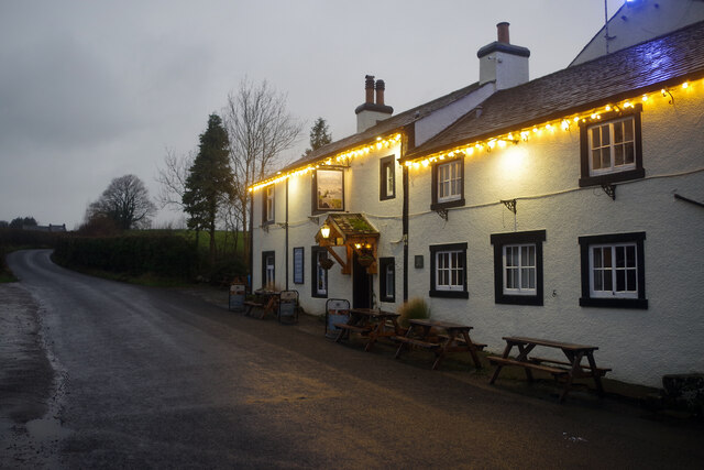
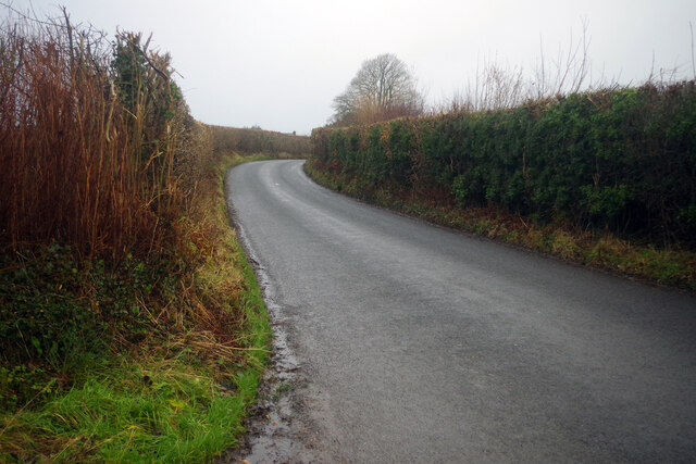
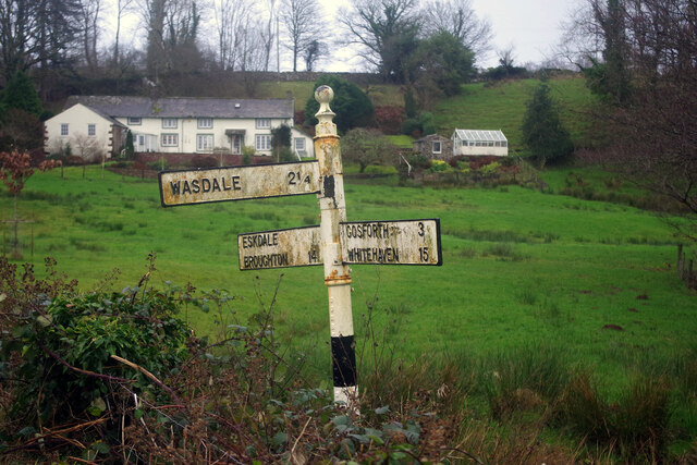
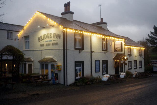
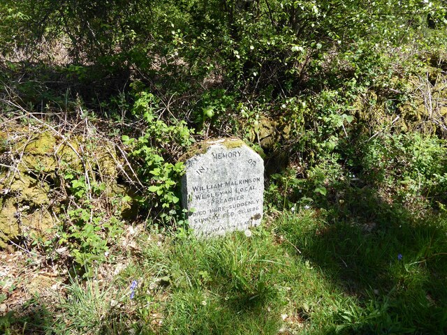
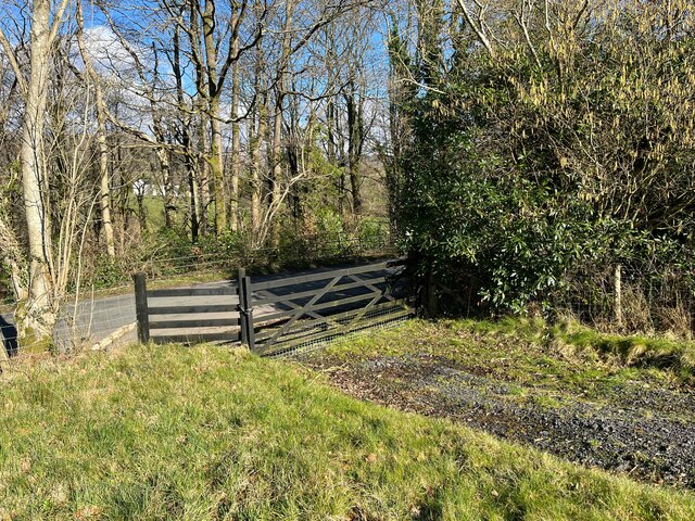
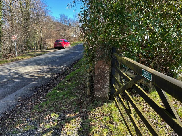
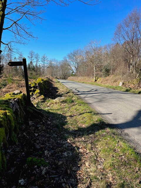
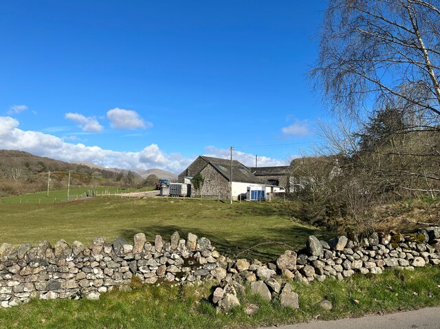
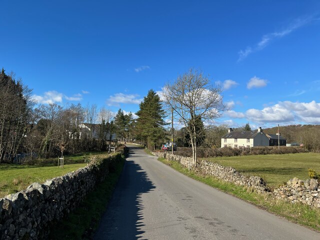
Parkgate Tarn Images

Images are sourced within 2km of 54.392922/-3.3597087 or Grid Reference NY1100. Thanks to Geograph Open Source API. All images are credited.

The Bridge Inn, Santon Bridge Early morning on a thoroughly dismal day (although it was to brighten up later), but the lights of the Bridge Inn, an old coaching stop, make it look welcoming. Inside guests will be tucking in to a full 'Cumbrian breakfast'. This is the venue for the annual World's Biggest Liar competition, as a plaque on the wall tells us.
The Bridge Inn, Santon Bridge
Early morning on a thoroughly dismal day (although it was to brighten up later), but the lights of the Bridge Inn, an old coaching stop, make it look welcoming. Inside guests will be tucking in to a full 'Cumbrian breakfast'. This is the venue for the annual World's Biggest Liar competition, as a plaque on the wall tells us.
Whitecroft, Santon Bridge This is the lane that connects the hamlets of Santon and Santon Bridge, just over half a mile apart. The Bridge Inn is behind the photographer.
Whitecroft, Santon Bridge
This is the lane that connects the hamlets of Santon and Santon Bridge, just over half a mile apart. The Bridge Inn is behind the photographer.
Home of the World's Biggest Liar Competition This plaque is fixed to the Bridge Inn, venue for one of the more obscure world sporting events. Held in November each year, it commemorates a local 19th century publican, Will Ritson who was known for his tall tales. Contestants have to stand up in front of the often well-oiled audience and tell their stories - the best of whom is judged the winner.
Home of the World's Biggest Liar Competition
This plaque is fixed to the Bridge Inn, venue for one of the more obscure world sporting events. Held in November each year, it commemorates a local 19th century publican, Will Ritson who was known for his tall tales. Contestants have to stand up in front of the often well-oiled audience and tell their stories - the best of whom is judged the winner.
Signpost at Santon Bridge This signpost, which could do with some sprucing up, points the way at the junction just east of the bridge over the River Irt.
Signpost at Santon Bridge
This signpost, which could do with some sprucing up, points the way at the junction just east of the bridge over the River Irt.
The Bridge Inn, Santon Bridge The day was dismal and wet but at least this old coaching inn adds a touch of brightness.
The Bridge Inn, Santon Bridge
The day was dismal and wet but at least this old coaching inn adds a touch of brightness.
The Malkinson Memorial Beside the road from Eskdale Green to Santon Bridge, this small stone memorial bears the following inscription:
'In memory of William Malkinson
Wesleyan Local Preacher
Died here suddenly Sunday Feb 21 1886
Be ye also ready'
The Malkinson Memorial
Beside the road from Eskdale Green to Santon Bridge, this small stone memorial bears the following inscription: 'In memory of William Malkinson Wesleyan Local Preacher Died here suddenly Sunday Feb 21 1886 Be ye also ready'
Field Gate, Force Bank
Sandstone gatepost, Force Bank There is an Ordnance Survey cut benchmark on the face of the gatepost, it is worn and so well camouflaged with lichen that it is difficult to see (photograph <a href="https://www.geograph.org.uk/photo/7112231">NY1001 : Benchmark, Santon Bridge, Force Bank</a>).
Sandstone gatepost, Force Bank
There is an Ordnance Survey cut benchmark on the face of the gatepost, it is worn and so well camouflaged with lichen that it is difficult to see (photograph NY1001 : Benchmark, Santon Bridge, Force Bank).
Benchmark, Santon Bridge, Force Bank Detail of the Ordnance Survey cut benchmark on a sandstone field gatepost at Force Bank. The benchmark marks a height of 32.8209m above mean sea level (Ordnance Datum Newlyn) last verified in 1956 (location photograph <a href="https://www.geograph.org.uk/photo/7112223">NY1001 : Sandstone gatepost, Force Bank</a>).
The benchmark is worn and so well camouflaged with lichen that it is difficult to see.
Benchmark, Santon Bridge, Force Bank
Detail of the Ordnance Survey cut benchmark on a sandstone field gatepost at Force Bank. The benchmark marks a height of 32.8209m above mean sea level (Ordnance Datum Newlyn) last verified in 1956 (location photograph NY1001 : Sandstone gatepost, Force Bank). The benchmark is worn and so well camouflaged with lichen that it is difficult to see.
Benchmark, Irton Park Detail of the Ordnance Survey pivot benchmark on a granite rock on the verge of the road from Eskdale Green to Santon Bridge. The benchmark marks a height of 105.7473m above mean sea level (Ordnance Datum Newlyn) last verified in 1956 (location photograph <a href="https://www.geograph.org.uk/photo/7113106">NY1101 : The road from Eskdale Green to Santon Bridge</a>).
Benchmark, Irton Park
Detail of the Ordnance Survey pivot benchmark on a granite rock on the verge of the road from Eskdale Green to Santon Bridge. The benchmark marks a height of 105.7473m above mean sea level (Ordnance Datum Newlyn) last verified in 1956 (location photograph NY1101 : The road from Eskdale Green to Santon Bridge).
The road from Eskdale Green to Santon Bridge The footpath to the left leads to Plumgarth.  There is an Ordnance Survey pivot benchmark on the rock in the grass verge beyond the footpath sign (photograph <a href="https://www.geograph.org.uk/photo/7113067">NY1101 : Benchmark, Irton Park</a> and The Malkinson Memorial is on the opposite side of the road (photograph <a href="https://www.geograph.org.uk/photo/7086564">NY1101 : The Malkinson Memorial</a>).
The road from Eskdale Green to Santon Bridge
The footpath to the left leads to Plumgarth. There is an Ordnance Survey pivot benchmark on the rock in the grass verge beyond the footpath sign (photograph NY1101 : Benchmark, Irton Park and The Malkinson Memorial is on the opposite side of the road (photograph NY1101 : The Malkinson Memorial).
Broken wall near Bridge End Farm Damaged by winter storms, the roadside wall awaits repair.
Broken wall near Bridge End Farm
Damaged by winter storms, the roadside wall awaits repair.
Santon Bridge The road from Eskdale Green on the approach to the bridge at Santon Bridge.
Santon Bridge
The road from Eskdale Green on the approach to the bridge at Santon Bridge.
Bridge End Farm Built from granite, this building at Bridge End farm has an Ordnance Survey flush bracket benchmark set into the stonework just above the bottom quoin (photograph <a href="https://www.geograph.org.uk/photo/7116701">NY1101 : Benchmark, Santon Bridge, Bridge End Farm</a>).
Bridge End Farm
Built from granite, this building at Bridge End farm has an Ordnance Survey flush bracket benchmark set into the stonework just above the bottom quoin (photograph NY1101 : Benchmark, Santon Bridge, Bridge End Farm).
Benchmark, Santon Bridge, Bridge End Farm Detail of the Ordnance Survey flush bracket benchmark number G3097 on the corner of a farm building at Bridge End Farm. The benchmark marks a height of 29.5775m above mean sea level (Ordnance Datum Newlyn) last levelled and verified in 1954 (location photograph <a href="https://www.geograph.org.uk/photo/7116699">NY1101 : Bridge End Farm</a>).
Benchmark, Santon Bridge, Bridge End Farm
Detail of the Ordnance Survey flush bracket benchmark number G3097 on the corner of a farm building at Bridge End Farm. The benchmark marks a height of 29.5775m above mean sea level (Ordnance Datum Newlyn) last levelled and verified in 1954 (location photograph NY1101 : Bridge End Farm).
Pivot benchmark on Santon Bridge Detail of the Ordnance Survey pivot benchmark on the south parapet of the bridge over the River Irt at Santon Bridge. The benchmark is not on the Ordnance Survey database but is shown on the 1899 Edition of the Ordnance Survey map as levelled to 90.9ft. above Ordnance Datum Newlyn (location photograph <a href="https://www.geograph.org.uk/photo/7120898">NY1101 : Stone parapet, Santon Bridge</a>).
Pivot benchmark on Santon Bridge
Detail of the Ordnance Survey pivot benchmark on the south parapet of the bridge over the River Irt at Santon Bridge. The benchmark is not on the Ordnance Survey database but is shown on the 1899 Edition of the Ordnance Survey map as levelled to 90.9ft. above Ordnance Datum Newlyn (location photograph NY1101 : Stone parapet, Santon Bridge).
Stone parapet, Santon Bridge Detail of the stone parapet of Santon Bridge, crossing the River Irt.
There is an Ordnance Survey pivot benchmark on one of the sandstone coping stones (photograph <a href="https://www.geograph.org.uk/photo/7120883">NY1101 : Pivot benchmark on Santon Bridge</a>).
Stone parapet, Santon Bridge
Detail of the stone parapet of Santon Bridge, crossing the River Irt. There is an Ordnance Survey pivot benchmark on one of the sandstone coping stones (photograph NY1101 : Pivot benchmark on Santon Bridge).
The Wasdale Fells from Irton Pike
Show me another place!

Parkgate Tarn is located at Grid Ref: NY1100 (Lat: 54.392922, Lng: -3.3597087)

Administrative County: Cumbria

District: Copeland

Police Authority: Cumbria

What 3 Words

///paid.kinks.flush. Near Seascale, Cumbria

Related Wikis

Irton Pike

Irton Pike is a hill in the west of the English Lake District, near Santon Bridge, Cumbria. It is the subject of a chapter of Alfred Wainwright's book...

Santon Bridge

Santon Bridge is a small village in Copeland, Cumbria, England, at a bridge over the River Irt. The civil parish is called Irton with Santon. The population...

Irton with Santon

Irton with Santon is a civil parish in Copeland, Cumbria, England, which includes the village of Santon Bridge. It has a parish council. It had a population...

Murthwaite Halt railway station

Murthwaite Halt railway station is a small intermediate railway station on the 15" gauge Ravenglass & Eskdale Railway in Cumbria, England. It is named...

Irton Road railway station

Irton Road railway station is a railway station on the 15 in gauge Ravenglass & Eskdale Railway in the Lake District National Park and the English county...

Giggle Alley

Giggle Alley is a woodland in Eskdale Green, Cumbria, England. It was formerly part of the Gate House estate. The wood includes the ruins of a Japanese...

Muncaster Fell

Muncaster Fell is a fell at the far western edge of the Lake District National Park, in Cumbria, England. Muncaster Fell is a long, narrow ridge of land...
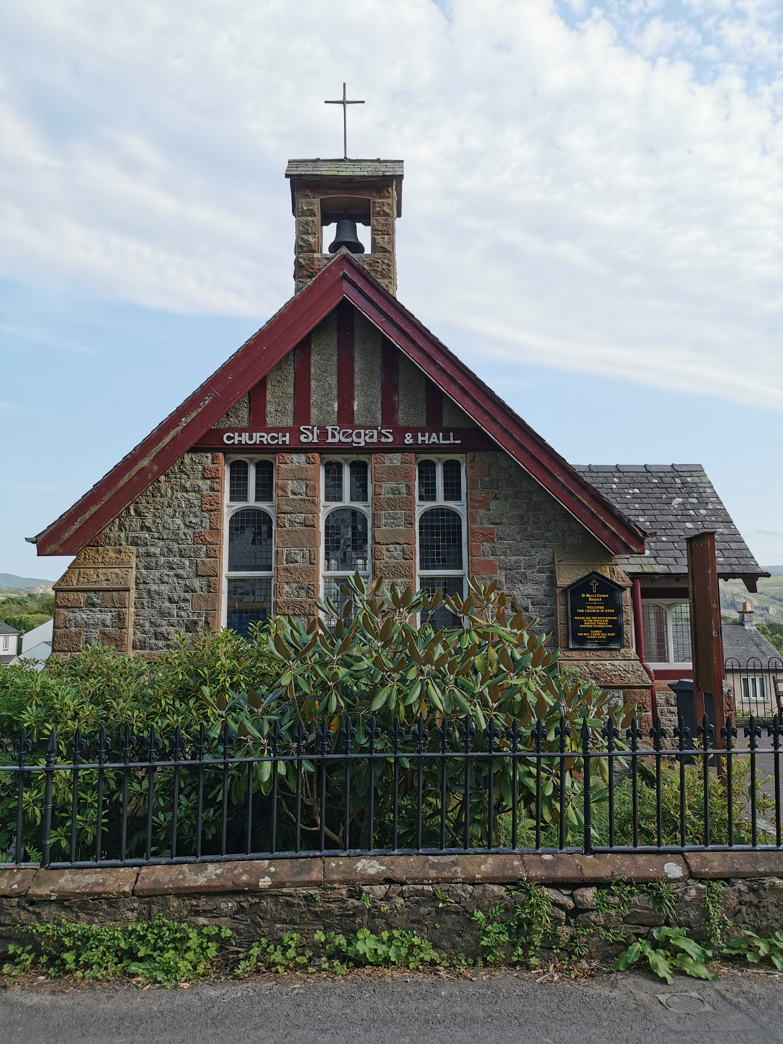
St Bega, Eskdale

St Bega is in Eskdale, Cumbria, England. It is an active Anglican parish church in the deanery of Calder, and the diocese of Carlisle. Its benefice is...

Nearby Amenities

Located within 500m of 54.392922,-3.3597087
Parkbreast Coppice
Natural: wood
Lat/Long: 54.3899533/-3.3559923
Parkbreast
Ele: 101
Natural: peak
Lat/Long: 54.3913272/-3.3584654
Parkgate Wood
Natural: wood
Lat/Long: 54.3909758/-3.3651881
Horseclose Wood
Natural: wood
Lat/Long: 54.3923496/-3.3671186
Tinkler Crags
Place: locality
Lat/Long: 54.3953189/-3.3651023
Turning Circle
Lat/Long: 54.3909966/-3.3613371
Turning Circle
Lat/Long: 54.3932472/-3.3536827
Bicycle: yes
Foot: yes
Ford: yes
Horse: yes
Lat/Long: 54.3956546/-3.3621601
The data included in this document is from www.openstreetmap.org. The data is made available under ODbL.

Have you been to Parkgate Tarn?

Leave your review of Parkgate Tarn below (or comments, questions and feedback).