Staple Plantation
Wood, Forest in Somerset Somerset West and Taunton
England
Staple Plantation
Staple Plantation, located in Somerset, England, is a picturesque woodland area known for its rich history and natural beauty. Nestled within the larger Staple Hill Forest, the plantation covers an area of approximately 200 acres and is home to a diverse range of flora and fauna.
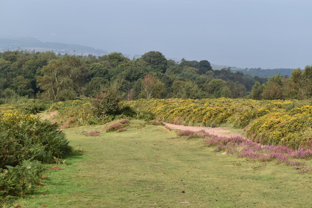
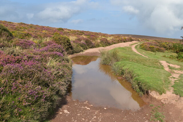
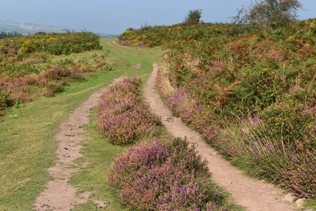
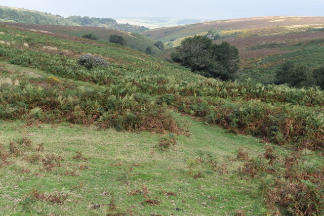
The woodland is predominantly composed of native tree species such as oak, beech, ash, and birch, which create a dense canopy and provide a habitat for various wildlife. The forest floor is covered with a thick layer of vegetation, including ferns, mosses, and wildflowers, adding to the enchanting atmosphere of the area.
Staple Plantation has been an important site for centuries, with evidence of human activity dating back to the Iron Age. Remnants of ancient earthworks and burial mounds can still be found within the woodland, offering glimpses into the area's past.
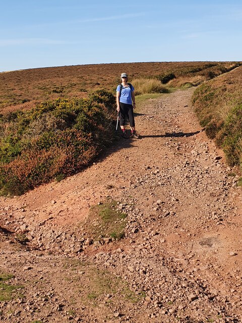
Today, the plantation is a popular destination for nature enthusiasts and hikers, offering a network of well-maintained trails that wind through the woodland. Visitors can explore the plantation's diverse ecosystems, observe wildlife such as deer, foxes, and various bird species, and enjoy the tranquility of the natural surroundings.
Staple Plantation is also a designated Site of Special Scientific Interest (SSSI) due to its biological importance. The woodland provides habitat for several rare and protected species, including the lesser horseshoe bat and the pearl-bordered fritillary butterfly.
Overall, Staple Plantation in Somerset is a remarkable woodland area that combines natural beauty with historical significance. Its diverse ecosystems, well-preserved trails, and abundant wildlife make it an ideal destination for those seeking a peaceful and enriching outdoor experience.
If you have any feedback on the listing, please let us know in the comments section below.
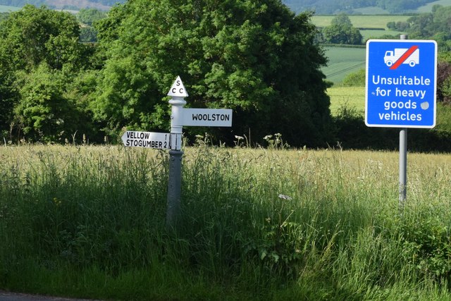
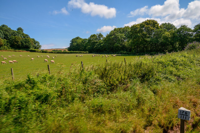
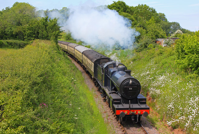
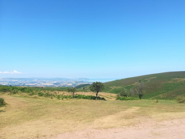
Staple Plantation Images
Images are sourced within 2km of 51.162959/-3.2697365 or Grid Reference ST1141. Thanks to Geograph Open Source API. All images are credited.


Staple Plantation is located at Grid Ref: ST1141 (Lat: 51.162959, Lng: -3.2697365)
Administrative County: Somerset
District: Somerset West and Taunton
Police Authority: Avon and Somerset
What 3 Words
///crypt.lanes.spends. Near Williton, Somerset
Nearby Locations
Related Wikis

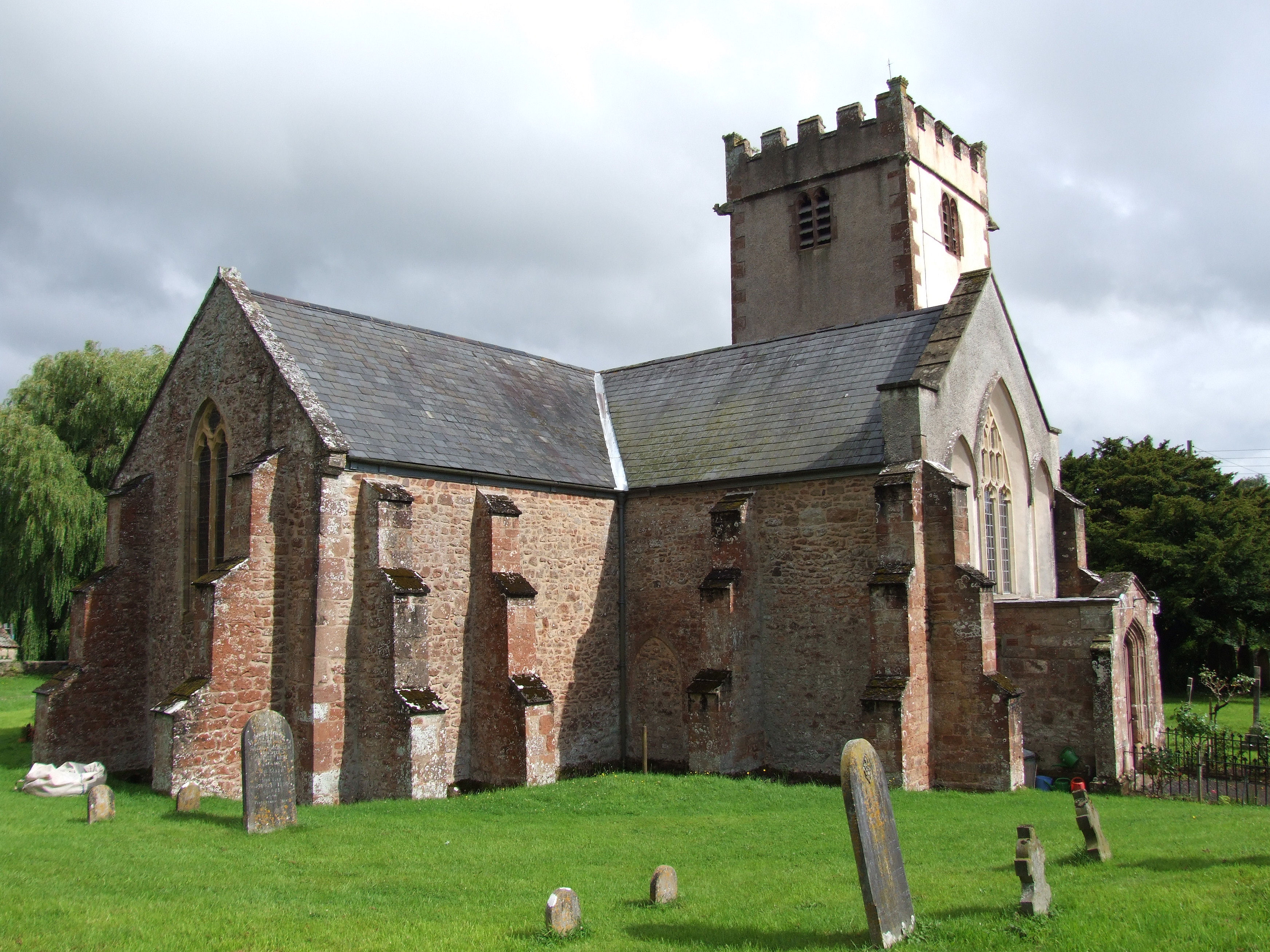
Church of St Etheldreda, West Quantoxhead
The Church of St Etheldreda, also known as the Church of St Audries, is a Church of England parish church in West Quantoxhead, Somerset, England. Designed...

West Quantoxhead
West Quantoxhead is a small village and civil parish in the Somerset West and Taunton district of Somerset, England. It lies on the route of the Coleridge...

St Audries Park
St Audries Park Manor house at West Quantoxhead in the Quantock Hills of Somerset, England, was the manor house of the Acland family. It was rebuilt on...

Bicknoller
Bicknoller is a village and civil parish on the western slopes of the Quantock Hills in the English county of Somerset. Administratively, the civil parish...
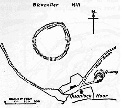
Trendle Ring
Trendle Ring (or Trundle Ring) is a late prehistoric earthwork on the Quantock Hills near Bicknoller in Somerset, England. It is a Scheduled Monument....
Church of St George, Sampford Brett
The Anglican Church of St George in Sampford Brett, Somerset, England was built around 1300. It is a Grade II* listed building. == History == The parish...

Williton
Williton is a large village and civil parish in Somerset, England, at the junction of the A39, A358 and B3191 roads, on the coast 2 miles (3.2 km) south...
Williton Rural District
Williton was a rural district in Somerset, England, from 1894 to 1974. It was created in 1894 under the Local Government Act 1894. In 1974 it was abolished...
Nearby Amenities
Located within 500m of 51.162959,-3.2697365Have you been to Staple Plantation?
Leave your review of Staple Plantation below (or comments, questions and feedback).