Cleator Moor

Settlement in Cumberland Copeland

England

Cleator Moor

Crossing Wath Bridge Parking nearby. A nice place to stop for a picnic.
Crossing Wath Bridge Credit: Perry Dark

Cleator Moor is a small town located in the county of Cumberland, in the northwest region of England. Situated within the picturesque Lake District National Park, Cleator Moor is surrounded by stunning natural beauty, with rolling hills and scenic landscapes that attract visitors from all over the world.

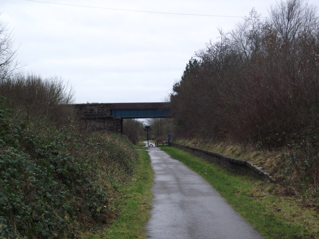
Historically, Cleator Moor was a prominent mining town, known for its iron ore and coal deposits. The town prospered during the Industrial Revolution, with the mining industry playing a vital role in its growth and development. Today, remnants of this industrial past can still be seen in the form of old mine buildings and structures scattered throughout the town.

Cleator Moor has a close-knit community, with a population of approximately 7,000 residents. The town offers a range of amenities and services to cater to its residents' needs, including schools, healthcare facilities, and recreational spaces. The town center features a variety of local shops, cafes, and pubs, providing a vibrant and friendly atmosphere.

For outdoor enthusiasts, Cleator Moor offers ample opportunities for exploration and adventure. The surrounding countryside is ideal for hiking, cycling, and wildlife spotting, with numerous trails and paths to discover. The nearby Ennerdale Water, one of the most pristine lakes in the region, is a popular spot for fishing, boating, and picnicking.

Overall, Cleator Moor is a charming town that combines its rich industrial heritage with its natural surroundings, making it an appealing destination for both residents and visitors seeking a tranquil and picturesque escape in the heart of Cumberland.

If you have any feedback on the listing, please let us know in the comments section below.
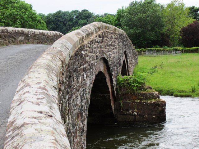
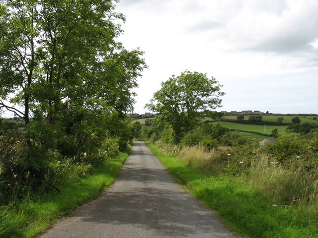
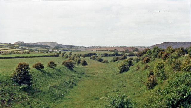
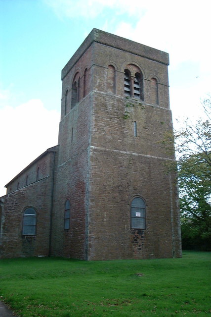
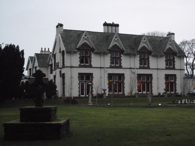
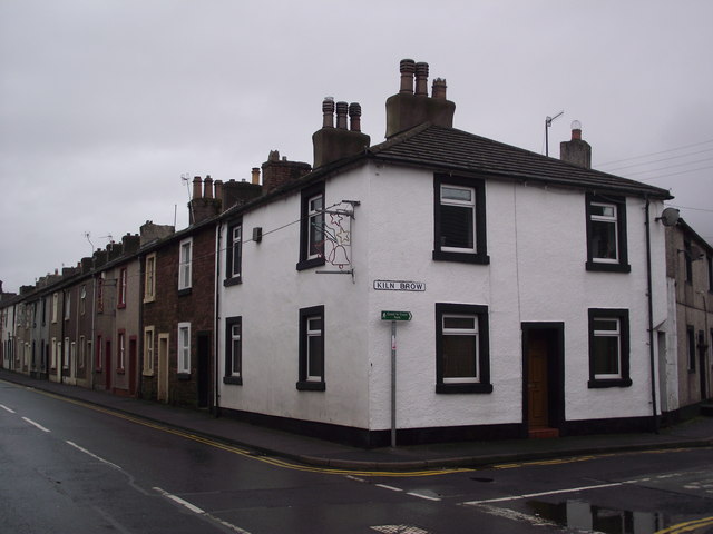
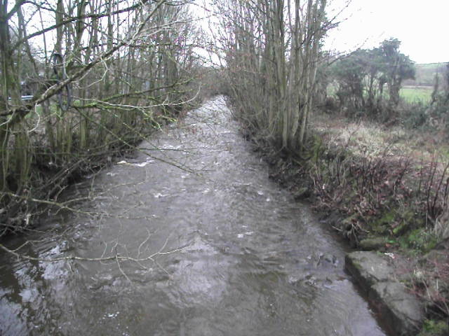
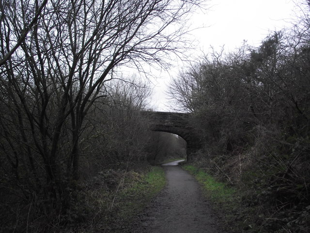
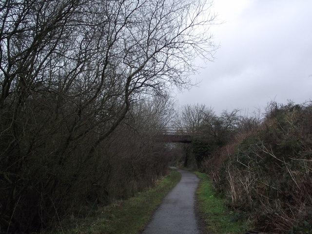
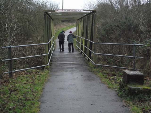
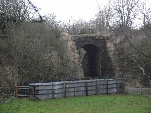
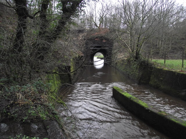
Cleator Moor Images

Images are sourced within 2km of 54.5218/-3.517227 or Grid Reference NY0115. Thanks to Geograph Open Source API. All images are credited.

Crossing Wath Bridge Parking nearby. A nice place to stop for a picnic.
Crossing Wath Bridge
Parking nearby. A nice place to stop for a picnic.
Nannycatch Road This is looking towards Cleator Moor, the edge of which can be seen on the horizon. Nannycatch Road is a cul-de-sac: at its end (behind the photographer) is a parking area which is very popular with local dog-walkers.
Nannycatch Road
This is looking towards Cleator Moor, the edge of which can be seen on the horizon. Nannycatch Road is a cul-de-sac: at its end (behind the photographer) is a parking area which is very popular with local dog-walkers.
Near site of Cleator Moor station, 1986 A view along the course of the former Cleator & Workington Junction line, which was built, along with various other lines, for transporting haematite iron ore from the rich mines in the area to the iron and steel works in the Workington and Harrington Districts. For 100 years from the 1860s this area, nowadays almost reclaimed by nature, had been heavily industrialised and honeycombed by railways: the remnants of spoil-heaps from the iron and coal mines can be seen on the horizon. Keekle Viaduct can also be seen in the extreme left background.
Near site of Cleator Moor station, 1986
A view along the course of the former Cleator & Workington Junction line, which was built, along with various other lines, for transporting haematite iron ore from the rich mines in the area to the iron and steel works in the Workington and Harrington Districts. For 100 years from the 1860s this area, nowadays almost reclaimed by nature, had been heavily industrialised and honeycombed by railways: the remnants of spoil-heaps from the iron and coal mines can be seen on the horizon. Keekle Viaduct can also be seen in the extreme left background.
St John's church, Cleator Moor
Ennerdale Country House Hotel
Blackhow Bridge Wainwright's Coast to Coast Path uses Blackhow Bridge to cross the River Ehen at Cleator.
Blackhow Bridge
Wainwright's Coast to Coast Path uses Blackhow Bridge to cross the River Ehen at Cleator.
Kiln Brow, Cleator Wainwright's Coast to Coast Path at the Junction of Main Street and Kiln Brow, Cleator
Kiln Brow, Cleator
Wainwright's Coast to Coast Path at the Junction of Main Street and Kiln Brow, Cleator
St Leonard's Church St Leonard's Church, Cleator
St Leonard's Church
St Leonard's Church, Cleator
River Keekle River Keekle looking downstream from Wainwright's Coast to Coast Path in Church Street, Cleator
River Keekle
River Keekle looking downstream from Wainwright's Coast to Coast Path in Church Street, Cleator
Coast to Coast Path Wainwright's Coast to Coast Path follows Church Street between Wainwright Passage and Cleator
Coast to Coast Path
Wainwright's Coast to Coast Path follows Church Street between Wainwright Passage and Cleator
Former railway bridge Former overbridge of the Cleator and Furness Railway, the trackbed is now used as part of Cycle Route 72.
Former railway bridge
Former overbridge of the Cleator and Furness Railway, the trackbed is now used as part of Cycle Route 72.
Railway Bridge Bridge over the track bed of the Cleator and Furness Railway; now part of C2C; Sustrans route 72
Railway Bridge
Bridge over the track bed of the Cleator and Furness Railway; now part of C2C; Sustrans route 72
Railway Bridge Bridge over the former trackbed of the Furness & Cleator Railway; now part of the C2C cycle way; route 62. The number 13 is painted on the parapet
Railway Bridge
Bridge over the former trackbed of the Furness & Cleator Railway; now part of the C2C cycle way; route 62. The number 13 is painted on the parapet
Cycle Route 72 This bridge carries cycle route 72 over Blind Lane
Cycle Route 72
This bridge carries cycle route 72 over Blind Lane
Railway Bridge This bridge carried a branch of the Whitehaven, Cleator & Egremont Railway over Blind Lane to serve iron works in the Cleator Moor area.  The trackbed is now used as cycle route 71
Railway Bridge
This bridge carried a branch of the Whitehaven, Cleator & Egremont Railway over Blind Lane to serve iron works in the Cleator Moor area. The trackbed is now used as cycle route 71
Railway Bridge over the River Keekle This bridge once carried the Whitehaven, Cleator and Egremont Railway over the River Keekle.  This bridge is now used for cycle route 71.
Railway Bridge over the River Keekle
This bridge once carried the Whitehaven, Cleator and Egremont Railway over the River Keekle. This bridge is now used for cycle route 71.
Remains of platform at Moor Row station Remains of platform at Moor Row station on the Whitehaven, Cleator and Egremont Railway; the trackbed is now part of C2C, cycle route 72.
Remains of platform at Moor Row station
Remains of platform at Moor Row station on the Whitehaven, Cleator and Egremont Railway; the trackbed is now part of C2C, cycle route 72.
Disused railway junction The remains of the trackbed of the junction between the Whitehaven, Cleator and Egremont Railway and the Furness and Cleator Railway are used as cycle routes.  The Whitehaven, Cleator and Egremont Railway branching to the left is cycle route 71; the Furness and Cleator Railway, to the right, is the C2C, cycle route 72.
Disused railway junction
The remains of the trackbed of the junction between the Whitehaven, Cleator and Egremont Railway and the Furness and Cleator Railway are used as cycle routes. The Whitehaven, Cleator and Egremont Railway branching to the left is cycle route 71; the Furness and Cleator Railway, to the right, is the C2C, cycle route 72.
Show me another place!

Cleator Moor is located at Grid Ref: NY0115 (Lat: 54.5218, Lng: -3.517227)

Administrative County: Cumbria

District: Copeland

Police Authority: Cumbria

What 3 Words

///warthog.mastering.magpie. Near Cleator Moor, Cumbria

Nearby Locations

Cleator Moor

Related Wikis

Cleator Moor Celtic F.C.

Cleator Moor Celtic Football Club is a football club based in Cleator Moor, Cumbria, England. The club are currently members of the West Lancashire League...

Cleator Moor railway station

The original Cleator Moor railway station was built by the Whitehaven, Cleator and Egremont Railway. It served the rapidly urbanising town of Cleator Moor...

Cleator Moor

Cleator Moor is a town and civil parish in Cumbria, England, within the historic county of Cumberland. It had a population of 6,936 at the 2011 census...

Cleator Moor East railway station

Cleator Moor has had three passenger stations: The original 1857 Cleator Moor station which became a goods station when it was replaced in 1866. Its 1866...

Nearby Amenities

Located within 500m of 54.5218,-3.517227
Bus Stop
High Street at Square
Local Ref: AT
Naptan AtcoCode: 090050030042
Naptan Bearing: W
Naptan CommonName: High Street at Square
Naptan Indicator: at
Naptan Landmark: Cleator Moor Square
Naptan NaptanCode: cumatmgt
Naptan Street: High Street
Naptan Verified: no
Shelter: yes
Source: naptan_import
Lat/Long: 54.5214555/-3.5162249
Bus Stop
The Square High Street
Local Ref: AT
Naptan AtcoCode: 090050030316
Naptan Bearing: E
Naptan CommonName: The Square High Street
Naptan Indicator: at
Naptan Landmark: Cleator Moor Square
Naptan NaptanCode: cumatmjm
Naptan Street: High Street
Naptan Verified: no
Source: naptan_import
Lat/Long: 54.5214277/-3.5155749
Turning Circle
Lat/Long: 54.5202085/-3.514317
Turning Circle
Lat/Long: 54.5207032/-3.5147803
Atm
NatWest
Brand: NatWest
Brand Wikidata: Q2740021
Fee: Nat West
Operator: NatWest
Operator Wikidata: Q2740021
Lat/Long: 54.5218437/-3.5176359
Bank
NatWest
Brand: NatWest
Brand Wikidata: Q2740021
Lat/Long: 54.5217796/-3.5176811
Turning Circle
Lat/Long: 54.5188005/-3.5169092
Turning Circle
Lat/Long: 54.5178991/-3.5174946
Post Box
Ref: CA25 59
Lat/Long: 54.5229814/-3.5237125
Post Box
Ref: CA25 43
Lat/Long: 54.5247629/-3.5127656
Post Box
Ref: CA25 127
Lat/Long: 54.5179629/-3.5132035
Post Office
Cleator Moor Post Office
Addr City: Cleator Moor
Addr Country: GB
Addr Housenumber: 76
Addr Postcode: CA25 5PX
Addr Street: Leconfield Street
Brand: Post Office
Brand Wikidata: Q1783168
Check Date: 2022-05-27
Check Date Opening Hours: 2022‑05‑27
Opening Hours: Mo-Fr 08:30-17:30; Sa 08:30-15:00
Ref Pol Id: 22737
Lat/Long: 54.5231258/-3.5245808
Post Box
Post Box Apertures: 2
Ref: CA25 79;CA25 1079D
Lat/Long: 54.5210588/-3.5172533
Fast Food
Canton Chef
Addr City: Cleator Moor
Addr Housenumber: 8-9
Addr Postcode: CA25 5LS
Addr Street: Ennerdale Road
Cuisine: chinese
Phone: +44 1946 815567
Lat/Long: 54.5207345/-3.5134176
Fast Food
Taste Of China
Addr City: Cleator Moor
Addr Housenumber: 4
Addr Postcode: CA25 5BD
Addr Street: Jacktrees Road
Cuisine: chinese
Phone: +44 1946 810222
Lat/Long: 54.5215016/-3.5169448
Pub
Moffats
Addr City: Cleator Moor
Addr Postcode: CA25 5HP
Addr Street: Birks Road
Phone: +44 1946 810372
Lat/Long: 54.5217808/-3.5168915
Fast Food
Greggs
Addr City: Cleator Moor
Addr Country: GB
Addr Housenumber: 2
Addr Postcode: CA25 5AB
Addr Street: High Street
Brand: Greggs
Brand Wikidata: Q3403981
Brand Wikipedia: en:Greggs
Cuisine: sandwich;bakery
Fhrs Id: 229740
Operator: Greggs Plc
Phone: +44 1946 811456
Takeaway: yes
Lat/Long: 54.5217484/-3.5167939
Addr City: Cleator Moor
Addr Housenumber: 3
Addr Postcode: CA25 5AB
Addr Street: High Street
Phone: +44 800 022 3454
Shop: bookmaker
Lat/Long: 54.5217216/-3.5166521
Bank
Cumberland Building Society
Addr City: Cleator Moor
Addr Housenumber: 52
Addr Postcode: CA25 5AA
Addr Street: High Street
Atm: yes
Brand: Cumberland Building Society
Brand Wikidata: Q5193845
Brand Wikipedia: en:Cumberland Building Society
Phone: +44 1946 813003
Lat/Long: 54.521625/-3.5169479
Chas Kendall
Addr City: Cleator Moor
Addr Housenumber: 53-54
Addr Postcode: CA25 5AA
Addr Street: High Street
Phone: +44 122 982 3351
Shop: bookmaker
Lat/Long: 54.5216751/-3.5170897
Cafe
Scoffs
Addr City: Cleator Moor
Addr Housenumber: 64
Addr Postcode: CA25 5BN
Addr Street: High Street
Phone: +44 1946 810455
Lat/Long: 54.5219022/-3.5179092
Fast Food
Chatanooga
Addr City: Cleator Moor
Addr Housenumber: 84
Addr Postcode: CA25 5BL
Addr Street: High Street
Cuisine: kebab
Delivery: yes
Phone: +44 1946 815115
Takeaway: only
Lat/Long: 54.5218769/-3.5172196
Fast Food
Marmaris Star
Addr City: Cleator Moor
Addr Housenumber: 82
Addr Postcode: CA25 5BL
Addr Street: High Street
Cuisine: kebab
Delivery: yes
Phone: +44 1946 811880
Takeaway: only
Lat/Long: 54.5218959/-3.5172943
Fast Food
Spice House
Addr City: Cleator Moor
Addr Housenumber: 81
Addr Postcode: CA25 5BL
Addr Street: High Street
Cuisine: indian
Delivery: yes
Phone: +44 1946 811500
Takeaway: only
Lat/Long: 54.5219175/-3.517376
Wilsons
Shop: butcher
Lat/Long: 54.5219379/-3.5174437
Fast Food
Caspian
Addr City: Cleator Moor
Addr Housenumber: 79
Addr Street: High Street
Delivery: yes
Takeaway: only
Lat/Long: 54.5219568/-3.5175021
Age UK
Addr City: Cleator Moor
Addr Street: High Street
Brand: Age UK
Brand Wikidata: Q4691850
Shop: charity
Lat/Long: 54.5221798/-3.5182147
The Crop Shop
Addr City: Cleator Moor
Addr Housenumber: 72a
Addr Postcode: CA25 5BW
Addr Street: High Street
Phone: +44 1946 812998
Shop: hairdresser
Lat/Long: 54.5222203/-3.518322
The Candy Shop
Addr City: Cleator Moor
Addr Housenumber: 2
Addr Postcode: CA25 5AR
Addr Street: Market Street
Phone: +44 1946 813821
Shop: hairdresser
Lat/Long: 54.5209998/-3.5155244
55
Addr City: Cleator Moor
Addr Housenumber: 55
Addr Postcode: CA25 5BQ
Addr Street: High Street
Phone: +44 1946 815765
Shop: florist
Lat/Long: 54.5217134/-3.5173804
H Routledge
Addr City: Cleator Moor
Addr Housenumber: 57
Addr Postcode: CA25 5BQ
Addr Street: High Street
Phone: +44 1946 810564
Shop: clothes
Lat/Long: 54.5217461/-3.5174743
Craig Hamilton Art
Addr City: Cleator Moor
Addr Housenumber: 74
Addr Postcode: CA25 5BL
Addr Street: High Street
Phone: +44 7850 666 841
Shop: tattoo
Website: https://craighamiltonart.com/
Lat/Long: 54.5221945/-3.5179434
Waste Basket
Lat/Long: 54.521135/-3.5169827
Barrier: bollard
Lat/Long: 54.5210787/-3.516662
Barrier: bollard
Lat/Long: 54.5210698/-3.516673
Barrier: bollard
Lat/Long: 54.5210604/-3.5166807
Barrier: bollard
Lat/Long: 54.5210511/-3.5169614
Barrier: bollard
Lat/Long: 54.5210619/-3.5170006
Barrier: bollard
Lat/Long: 54.5211064/-3.5170065
Barrier: bollard
Lat/Long: 54.5211227/-3.5169912
Barrier: bollard
Lat/Long: 54.5211513/-3.5169623
Barrier: bollard
Lat/Long: 54.521172/-3.516941
Prime Scaffolding
Addr City: Cleator Moor
Shop: yes
Lat/Long: 54.5256758/-3.518875
Noexit: yes
Lat/Long: 54.5216632/-3.5156244
Whitehaven Skips & Services
Addr City: Cleator Moor
Addr Street: Leconfield Street
Phone: +44 7596 148550
Shop: yes
Lat/Long: 54.525206/-3.5190579
Britains Energy Coast
Addr City: Cleator Moor
Addr Postcode: CA25 5AH
Addr Street: High Street
Office: yes
Phone: +44 1946 595 200
Website: http://britainsenergycoast.co.uk/
Lat/Long: 54.522439/-3.519069
Bench
Backrest: yes
Lat/Long: 54.5213149/-3.516097
Bench
Backrest: yes
Lat/Long: 54.5213408/-3.5161848
Bench
Backrest: yes
Lat/Long: 54.5213444/-3.5164513
Bench
Backrest: yes
Lat/Long: 54.5213792/-3.5165669
Waste Basket
Lat/Long: 54.5213614/-3.5164914
BOC
Addr City: Cleator Moor
Addr Street: Leconfield Industrial Estate
Shop: yes
Lat/Long: 54.5255374/-3.5183283
Pharmacy
Lat/Long: 54.522786/-3.5160192
Power: pole
Lat/Long: 54.5198439/-3.5229448
Birksbridge Junction
Railway: junction
Lat/Long: 54.5254581/-3.5144345
Cleator Moor
Abandoned Railway: station
Railway: site
Wikidata: Q23042039
Wikipedia: en:Cleator Moor railway station
Lat/Long: 54.5231583/-3.5201013
Bench
Lat/Long: 54.5209397/-3.5160931
Bench
Lat/Long: 54.520977/-3.5163318
Artwork Type: sculpture
Tourism: artwork
Lat/Long: 54.5209544/-3.5162956
Give Way
Direction: forward
Lat/Long: 54.5197448/-3.5140456
Give Way
Direction: forward
Lat/Long: 54.5200745/-3.5150137
Give Way
Direction: forward
Lat/Long: 54.519997/-3.5150183
Give Way
Direction: backward
Lat/Long: 54.5248785/-3.5126874
Man Made: outfall
Lat/Long: 54.524495/-3.5115588
Man Made: outfall
Lat/Long: 54.5236532/-3.5129501
Power: pole
Lat/Long: 54.5202513/-3.5244352
Power: pole
Lat/Long: 54.5207439/-3.5238234
Power: pole
Lat/Long: 54.5203159/-3.5206148
Power: pole
Lat/Long: 54.5198045/-3.5188322
Power: pole
Lat/Long: 54.5253201/-3.5125517
Power: pole
Lat/Long: 54.5255293/-3.5138542
Power: pole
Lat/Long: 54.5258455/-3.5153005
Power: pole
Lat/Long: 54.5261665/-3.5167468
The data included in this document is from www.openstreetmap.org. The data is made available under ODbL.

Have you been to Cleator Moor?

Leave your review of Cleator Moor below (or comments, questions and feedback).