Cleator
Settlement in Cumberland Copeland
England
Cleator
Cleator is a small village located in the county of Cumberland, England. Situated in the western part of the county, it is nestled amidst the picturesque landscapes of the Lake District National Park. The village is situated about 6 miles southwest of the town of Whitehaven and approximately 2 miles north of the town of Egremont.
With a population of around 2,000 residents, Cleator is a tight-knit community that exudes a charming and welcoming atmosphere. The village is known for its rich history, dating back to the 12th century when it was first mentioned in historical records. It was originally an agricultural settlement, but its growth was fueled by the thriving coal mining industry in the region during the 18th and 19th centuries.
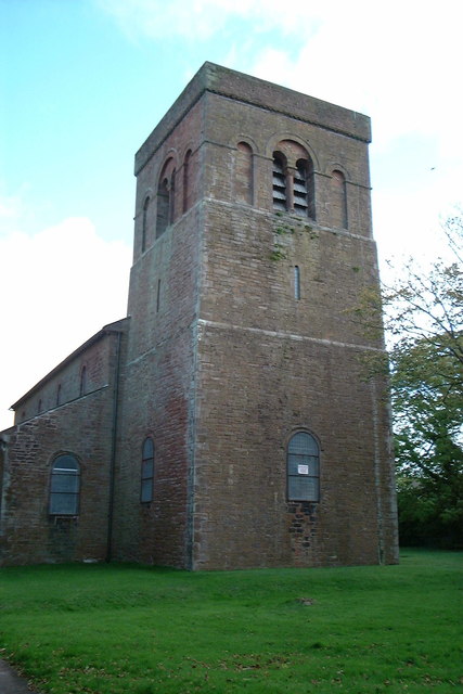
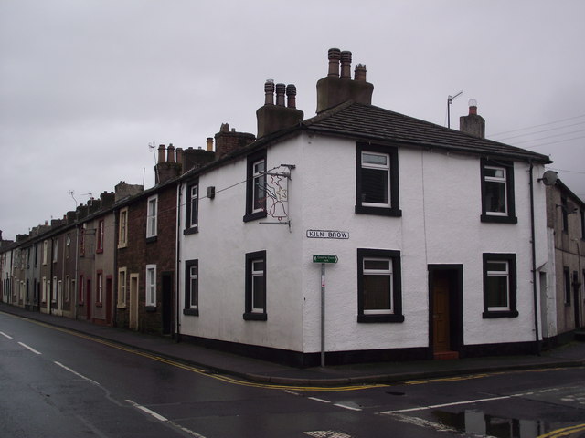
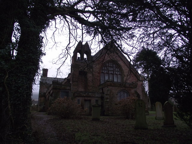
One of the prominent landmarks in Cleator is the St. Leonard's Church, a beautiful stone building that dates back to the 19th century. The village also boasts a range of amenities and services, including a primary school, a post office, local shops, and various recreational facilities.
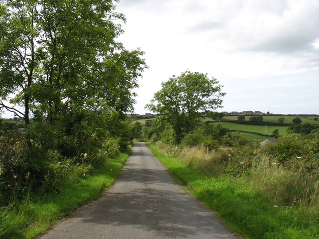
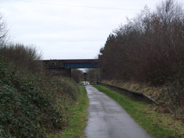
The surrounding area offers a plethora of outdoor activities and attractions for nature enthusiasts. The nearby Lake District National Park provides ample opportunities for hiking, cycling, and enjoying the stunning natural beauty of the region. Additionally, the coast is just a short distance away, allowing residents and visitors to enjoy the sandy beaches and coastal walks.
Overall, Cleator is a charming village that offers a peaceful and idyllic lifestyle in the heart of the scenic Cumberland countryside.
If you have any feedback on the listing, please let us know in the comments section below.
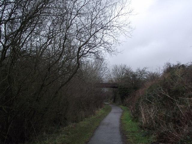
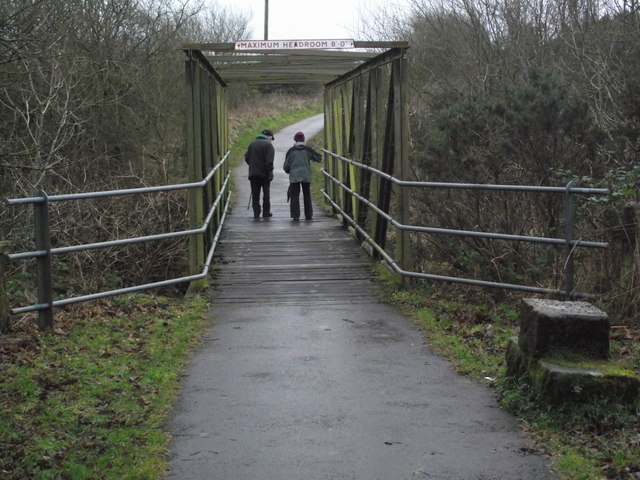
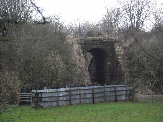
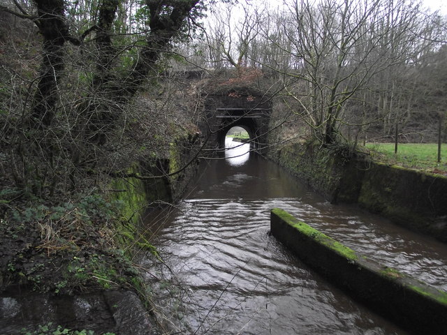
Cleator Images
Images are sourced within 2km of 54.50862/-3.518979 or Grid Reference NY0113. Thanks to Geograph Open Source API. All images are credited.


Cleator is located at Grid Ref: NY0113 (Lat: 54.50862, Lng: -3.518979)
Administrative County: Cumbria
District: Copeland
Police Authority: Cumbria
What 3 Words
///shred.couch.serve. Near Cleator Moor, Cumbria
Nearby Locations
Related Wikis

Cleator
Cleator is a village in the English county of Cumbria and within the boundaries of the historic county of Cumberland. Cleator is located on the edge...
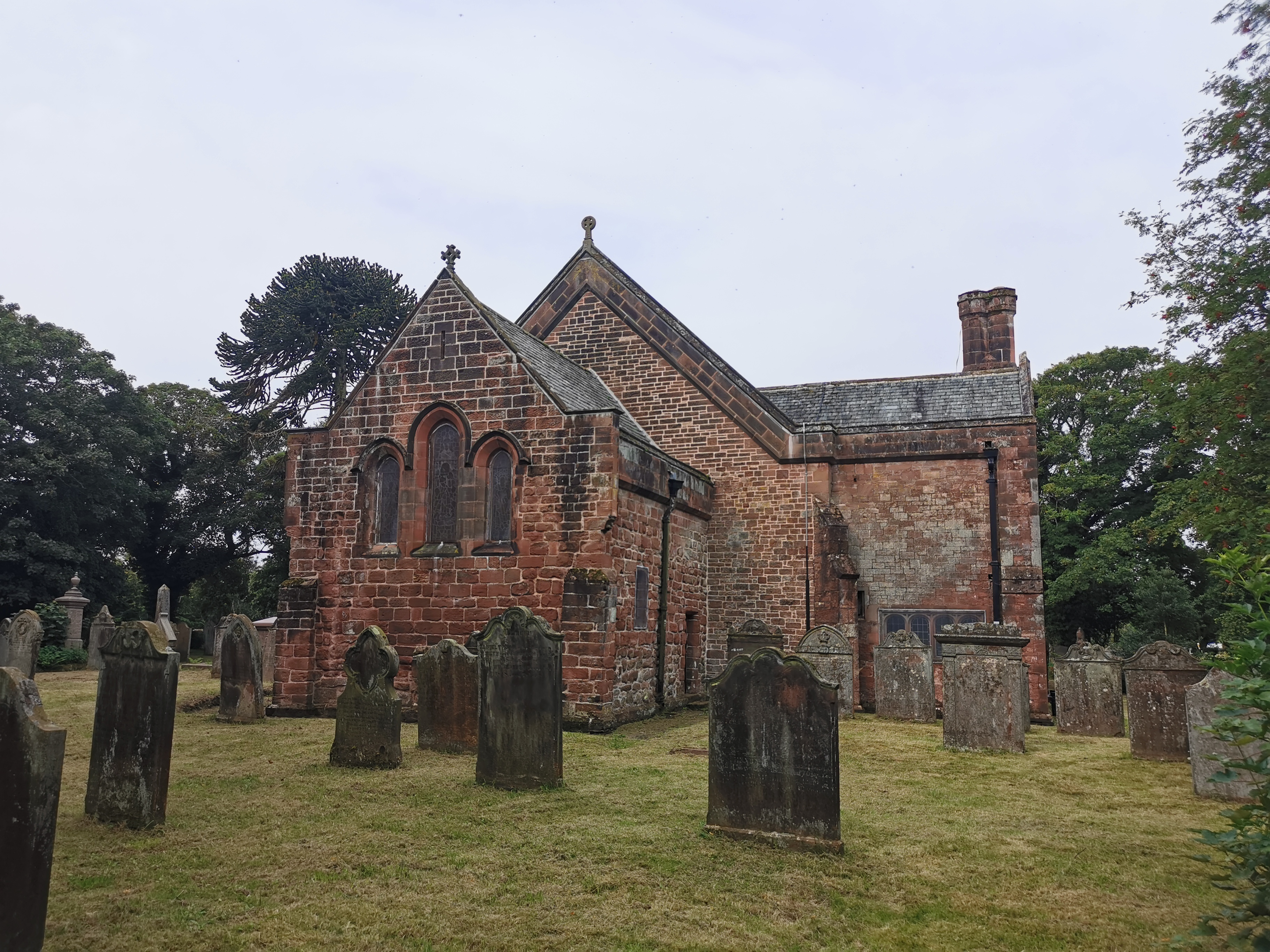
St Leonard, Cleator
St Leonard is a church in Cleator, Cumbria, England. It is an active Anglican parish church in the deanery of Calder, and the diocese of Carlisle. Its...

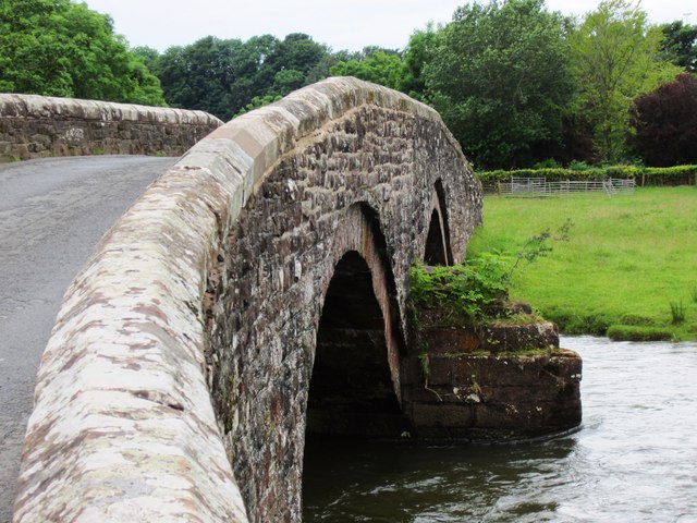
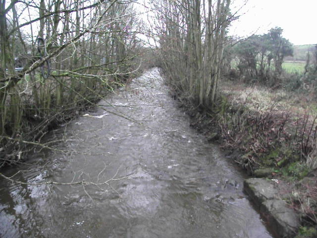
River Keekle
The River Keekle is a river running through the English county of Cumbria. The source of the Keekle is to be found at Keekle Head Farm on High Park between...

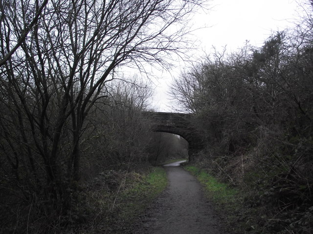
Woodend railway station
Woodend railway station (formally known as "Woodend for Cleator and Bigrigg") was planned by the Whitehaven, Cleator and Egremont Railway on its Sellafield...
Nearby Amenities
Located within 500m of 54.50862,-3.518979Have you been to Cleator?
Leave your review of Cleator below (or comments, questions and feedback).