Chapel Wood
Wood, Forest in Cumberland Copeland
England
Chapel Wood
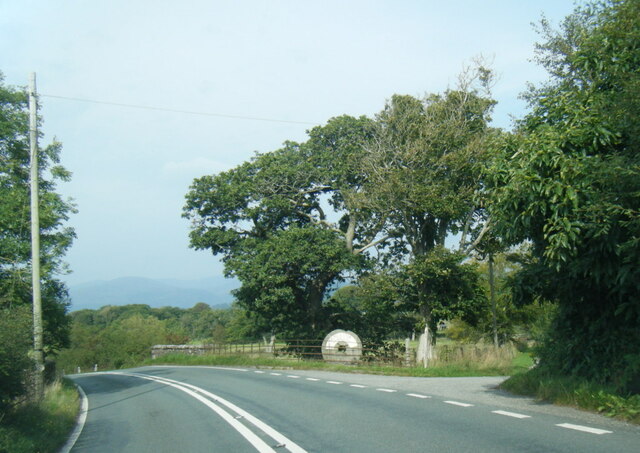
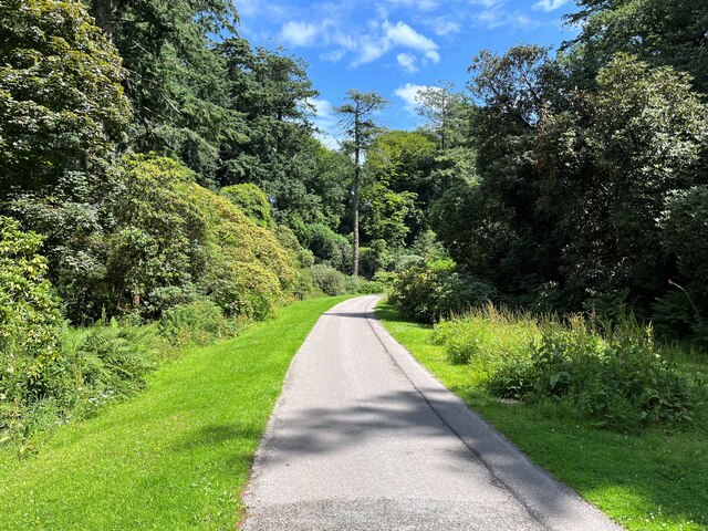
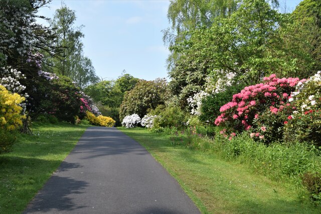
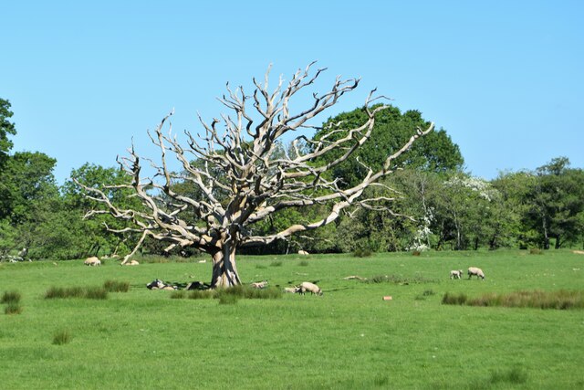
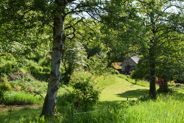
Chapel Wood is a picturesque woodland located in the county of Cumberland, England. Nestled amidst the stunning landscape of the Lake District National Park, this forested area spans over a vast expanse of approximately 500 acres. With its diverse range of flora and fauna, Chapel Wood offers visitors a serene and tranquil escape from the hustle and bustle of everyday life.
The woodland is predominantly composed of native tree species such as oak, birch, and beech, creating a dense canopy that provides shade and shelter to various wildlife species. Walking through the woodland, visitors can witness a plethora of wildflowers, including bluebells and primroses, which carpet the forest floor during the spring months, adding vibrant colors to the already enchanting setting.
One of the key highlights of Chapel Wood is its historical significance. The name Chapel Wood originates from the ancient chapel that once stood within its boundaries. The ruins of the chapel can still be seen today, serving as a reminder of the area's rich heritage. Exploring the woodland, visitors may stumble upon remnants of the chapel's stone walls and archways, offering a glimpse into the past.
Chapel Wood is a haven for wildlife enthusiasts, as it provides a habitat for various species of birds, mammals, and insects. Birdwatchers can spot a variety of woodland birds, including woodpeckers and owls, while lucky visitors may even catch a glimpse of roe deer or red squirrels.
Overall, Chapel Wood in Cumberland is a captivating destination for nature lovers, history enthusiasts, and those seeking solace in the beauty of the natural world.
If you have any feedback on the listing, please let us know in the comments section below.
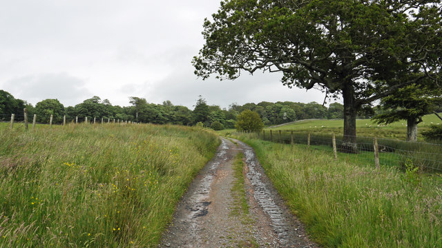
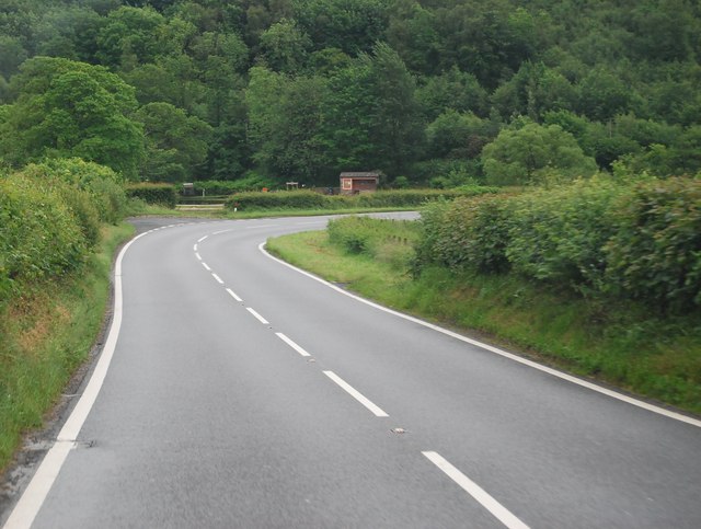
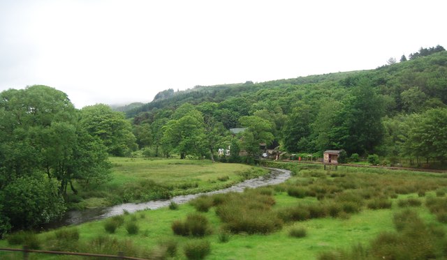
Chapel Wood Images
Images are sourced within 2km of 54.363367/-3.3702906 or Grid Reference SD1197. Thanks to Geograph Open Source API. All images are credited.


Chapel Wood is located at Grid Ref: SD1197 (Lat: 54.363367, Lng: -3.3702906)
Administrative County: Cumbria
District: Copeland
Police Authority: Cumbria
What 3 Words
///baker.elders.exposes. Near Seascale, Cumbria
Nearby Locations
Related Wikis

St Michael's Church, Muncaster
St Michael's Church is in the grounds of Muncaster Castle, near Ravenglass, Cumbria, England. It is an active Anglican parish church in the deanery of...

Muncaster Fell
Muncaster Fell is a fell at the far western edge of the Lake District National Park, in Cumbria, England. Muncaster Fell is a long, narrow ridge of land...

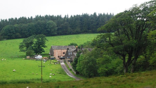
Muncaster
Muncaster is a civil parish in Cumbria, North West England. The parish is 41 miles (66 km) south west of the city of Carlisle, in the Copeland district...

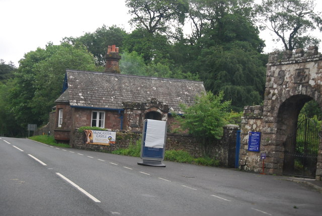
Muncaster Castle
Muncaster Castle is a privately owned castle overlooking the River Esk, about a mile east of the west-coastal town of Ravenglass in Cumbria, England. It...

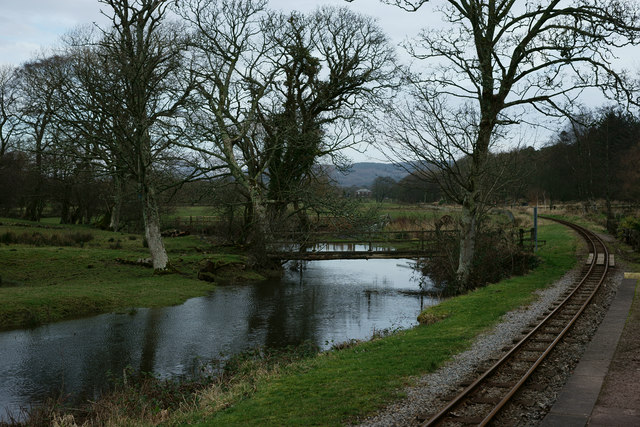
Miteside Halt railway station
Miteside Halt railway station is a railway station on the 15" gauge Ravenglass & Eskdale Railway in Cumbria, England. It is located where public footpath...

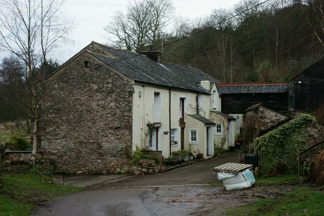
Muncaster Mill railway station
Muncaster Mill railway station is a railway station on the 15 in (381 mm) gauge Ravenglass & Eskdale Railway in Cumbria, England. The station is located...

Murthwaite Halt railway station
Murthwaite Halt railway station is a small intermediate railway station on the 15" gauge Ravenglass & Eskdale Railway in Cumbria, England. It is named...

Muncaster War Memorial
Muncaster War Memorial is a First World War memorial in the parish of Muncaster on the west coast of Cumbria in the far north-west of England. The memorial...
Nearby Amenities
Located within 500m of 54.363367,-3.3702906Have you been to Chapel Wood?
Leave your review of Chapel Wood below (or comments, questions and feedback).