Chapelclose Wood

Wood, Forest in Cumberland Copeland

England

Chapelclose Wood

Whitecroft, Santon Santon is a tiny hamlet about half a mile from Santon Bridge on the road to Gosforth. This row of cottages, which includes holiday lets, is the most prominent building.
Whitecroft, Santon Credit: Stephen McKay

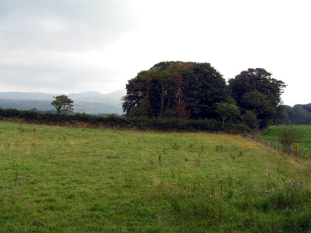
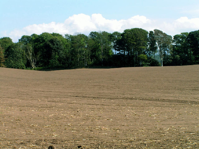
Chapelclose Wood is a picturesque forest located in the county of Cumberland, in the northwest region of England. This enchanting woodland covers an area of approximately 150 acres and is a popular destination for nature enthusiasts and hikers alike.

The wood is characterized by its diverse range of trees, including oak, beech, and birch, which create a dense and vibrant canopy that provides shelter to a variety of wildlife. The forest floor is adorned with a rich carpet of ferns, wildflowers, and mosses, further enhancing its natural beauty.

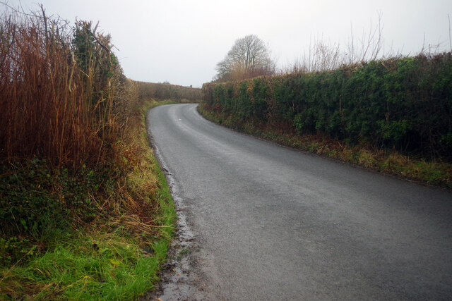
Traversing through Chapelclose Wood, visitors can enjoy a network of well-maintained footpaths that meander through the forest, offering stunning views of the surrounding countryside. The paths are suitable for all levels of walkers, from casual strollers to more experienced hikers.

The wood is also home to a number of rare and protected species, including the red squirrel and various species of birds, making it a haven for wildlife enthusiasts and birdwatchers. The tranquil atmosphere and abundance of wildlife make Chapelclose Wood an ideal location for nature photography and bird spotting.

Historically, the wood has been an important part of the local community, providing timber for construction and fuel. Today, it is primarily managed by local conservation organizations, who strive to preserve its natural beauty and protect its inhabitants.

Chapelclose Wood offers a serene escape from the hustle and bustle of everyday life, providing visitors with an opportunity to immerse themselves in the beauty of nature and explore the wonders of this captivating woodland.

If you have any feedback on the listing, please let us know in the comments section below.

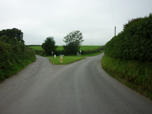
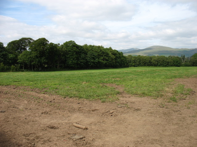
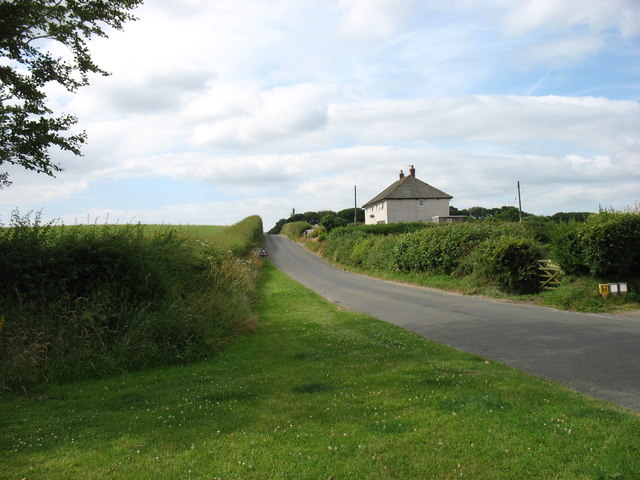
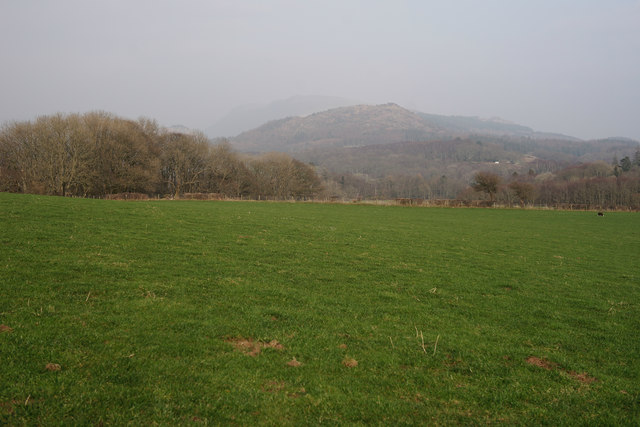
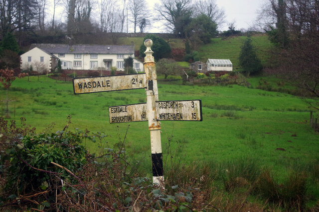
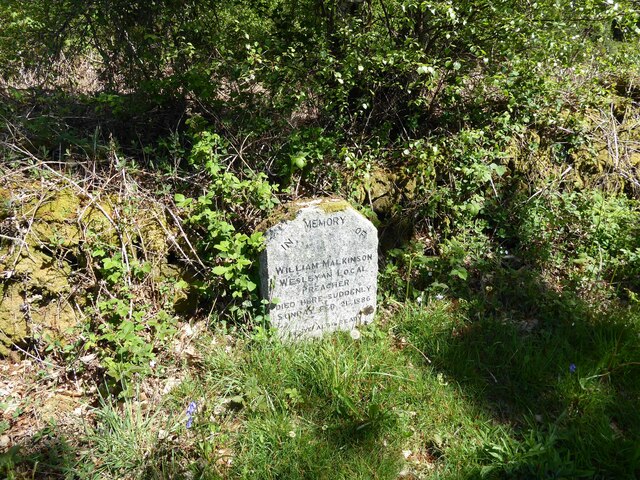
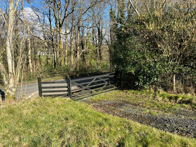
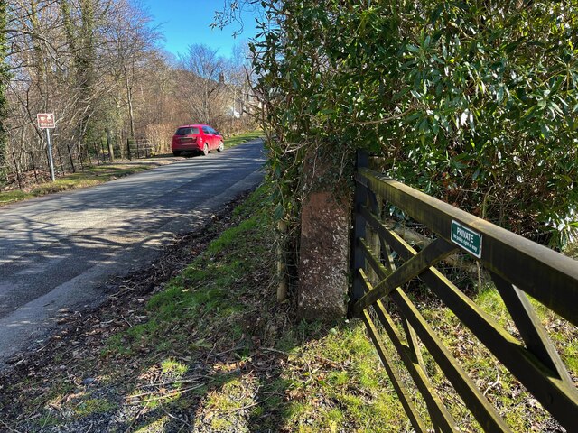
Chapelclose Wood Images

Images are sourced within 2km of 54.400753/-3.3729542 or Grid Reference NY1001. Thanks to Geograph Open Source API. All images are credited.

Whitecroft, Santon Santon is a tiny hamlet about half a mile from Santon Bridge on the road to Gosforth. This row of cottages, which includes holiday lets, is the most prominent building.
Whitecroft, Santon
Santon is a tiny hamlet about half a mile from Santon Bridge on the road to Gosforth. This row of cottages, which includes holiday lets, is the most prominent building.
Road junction in Santon
The road junction at Santon
Fields near Santon
Fields near Santon
Leaving Santon village On the road to Gosforth.
Leaving Santon village
On the road to Gosforth.
View Towards Irton Pike Seen from the path between Irton church and Irton Hall.
View Towards Irton Pike
Seen from the path between Irton church and Irton Hall.
Open country and woodland, Wasdale This photo was taken near the intriguingly named 'Sorrowstones'. The hills around Wasdale are visible behind.
Open country and woodland, Wasdale
This photo was taken near the intriguingly named 'Sorrowstones'. The hills around Wasdale are visible behind.
Prepared Field View across open fields near Santon Bridge
Prepared Field
View across open fields near Santon Bridge
The Bridge Inn, Santon Bridge Early morning on a thoroughly dismal day (although it was to brighten up later), but the lights of the Bridge Inn, an old coaching stop, make it look welcoming. Inside guests will be tucking in to a full 'Cumbrian breakfast'. This is the venue for the annual World's Biggest Liar competition, as a plaque on the wall tells us.
The Bridge Inn, Santon Bridge
Early morning on a thoroughly dismal day (although it was to brighten up later), but the lights of the Bridge Inn, an old coaching stop, make it look welcoming. Inside guests will be tucking in to a full 'Cumbrian breakfast'. This is the venue for the annual World's Biggest Liar competition, as a plaque on the wall tells us.
Whitecroft, Santon Bridge This is the lane that connects the hamlets of Santon and Santon Bridge, just over half a mile apart. The Bridge Inn is behind the photographer.
Whitecroft, Santon Bridge
This is the lane that connects the hamlets of Santon and Santon Bridge, just over half a mile apart. The Bridge Inn is behind the photographer.
Home of the World's Biggest Liar Competition This plaque is fixed to the Bridge Inn, venue for one of the more obscure world sporting events. Held in November each year, it commemorates a local 19th century publican, Will Ritson who was known for his tall tales. Contestants have to stand up in front of the often well-oiled audience and tell their stories - the best of whom is judged the winner.
Home of the World's Biggest Liar Competition
This plaque is fixed to the Bridge Inn, venue for one of the more obscure world sporting events. Held in November each year, it commemorates a local 19th century publican, Will Ritson who was known for his tall tales. Contestants have to stand up in front of the often well-oiled audience and tell their stories - the best of whom is judged the winner.
Signpost at Santon Bridge This signpost, which could do with some sprucing up, points the way at the junction just east of the bridge over the River Irt.
Signpost at Santon Bridge
This signpost, which could do with some sprucing up, points the way at the junction just east of the bridge over the River Irt.
The Bridge Inn, Santon Bridge The day was dismal and wet but at least this old coaching inn adds a touch of brightness.
The Bridge Inn, Santon Bridge
The day was dismal and wet but at least this old coaching inn adds a touch of brightness.
The Malkinson Memorial Beside the road from Eskdale Green to Santon Bridge, this small stone memorial bears the following inscription:
'In memory of William Malkinson
Wesleyan Local Preacher
Died here suddenly Sunday Feb 21 1886
Be ye also ready'
The Malkinson Memorial
Beside the road from Eskdale Green to Santon Bridge, this small stone memorial bears the following inscription: 'In memory of William Malkinson Wesleyan Local Preacher Died here suddenly Sunday Feb 21 1886 Be ye also ready'
Field Gate, Force Bank
Sandstone gatepost, Force Bank There is an Ordnance Survey cut benchmark on the face of the gatepost, it is worn and so well camouflaged with lichen that it is difficult to see (photograph <a href="https://www.geograph.org.uk/photo/7112231">NY1001 : Benchmark, Santon Bridge, Force Bank</a>).
Sandstone gatepost, Force Bank
There is an Ordnance Survey cut benchmark on the face of the gatepost, it is worn and so well camouflaged with lichen that it is difficult to see (photograph NY1001 : Benchmark, Santon Bridge, Force Bank).
Benchmark, Santon Bridge, Force Bank Detail of the Ordnance Survey cut benchmark on a sandstone field gatepost at Force Bank. The benchmark marks a height of 32.8209m above mean sea level (Ordnance Datum Newlyn) last verified in 1956 (location photograph <a href="https://www.geograph.org.uk/photo/7112223">NY1001 : Sandstone gatepost, Force Bank</a>).
The benchmark is worn and so well camouflaged with lichen that it is difficult to see.
Benchmark, Santon Bridge, Force Bank
Detail of the Ordnance Survey cut benchmark on a sandstone field gatepost at Force Bank. The benchmark marks a height of 32.8209m above mean sea level (Ordnance Datum Newlyn) last verified in 1956 (location photograph NY1001 : Sandstone gatepost, Force Bank). The benchmark is worn and so well camouflaged with lichen that it is difficult to see.
Benchmark, Irton Park Detail of the Ordnance Survey pivot benchmark on a granite rock on the verge of the road from Eskdale Green to Santon Bridge. The benchmark marks a height of 105.7473m above mean sea level (Ordnance Datum Newlyn) last verified in 1956 (location photograph <a href="https://www.geograph.org.uk/photo/7113106">NY1101 : The road from Eskdale Green to Santon Bridge</a>).
Benchmark, Irton Park
Detail of the Ordnance Survey pivot benchmark on a granite rock on the verge of the road from Eskdale Green to Santon Bridge. The benchmark marks a height of 105.7473m above mean sea level (Ordnance Datum Newlyn) last verified in 1956 (location photograph NY1101 : The road from Eskdale Green to Santon Bridge).
Show me another place!

Chapelclose Wood is located at Grid Ref: NY1001 (Lat: 54.400753, Lng: -3.3729542)

Administrative County: Cumbria

District: Copeland

Police Authority: Cumbria

What 3 Words

///tracks.manly.faded. Near Seascale, Cumbria

Related Wikis

Santon Bridge

Santon Bridge is a small village in Copeland, Cumbria, England, at a bridge over the River Irt. The civil parish is called Irton with Santon. The population...

Irton with Santon

Irton with Santon is a civil parish in Copeland, Cumbria, England, which includes the village of Santon Bridge. It has a parish council. It had a population...

Irton Pike

Irton Pike is a hill in the west of the English Lake District, near Santon Bridge, Cumbria. It is the subject of a chapter of Alfred Wainwright's book...

River Bleng

The River Bleng is a tributary of the River Irt in the county of Cumbria in northern England.The river gives its name to the valley that it flows through...

St Paul, Irton

St Paul, Irton is an active parish church in the civil parish of Irton with Santon, Cumbria, England. It is in the Calder Deanery of the Anglican diocese...

Irton Cross

Irton Cross is an Anglo-Saxon cross in the graveyard of St Paul's Church, in the parish of Irton with Santon, Cumbria, England. Dating from the early...

Murthwaite Halt railway station

Murthwaite Halt railway station is a small intermediate railway station on the 15" gauge Ravenglass & Eskdale Railway in Cumbria, England. It is named...

Nether Wasdale

Nether Wasdale is a village in Cumbria, England, located in the valley and civil parish of Wasdale, near the River Irt and just over a mile to the west...

Nearby Amenities

Located within 500m of 54.400753,-3.3729542
Santon Bridge
Place: village
Wikidata: Q7420584
Wikipedia: en:Santon Bridge
Lat/Long: 54.4021663/-3.3707366
Pub
Bridge Inn
Addr City: Holmrook
Addr Country: GB
Addr Housename: Bridge Inn
Addr Postcode: CA19 1UX
Addr Street: Santon Bridge, Wasdale
Phone: +44 1946 726221
Tourism: hotel
Lat/Long: 54.4022955/-3.3725274
Post Box
Collection Times: Mo-Fr 16:00; Sa 10:30
Post Box Type: lamp
Ref: CA19 102
Royal Cypher: EIIR
Royal Cypher Wikidata: Q33102113
Lat/Long: 54.402135/-3.3723053
Bus Stop
Bridge Inn (W bound)
Bench: no
Bin: no
Lit: no
Local Ref: AT
Naptan AtcoCode: 090050113947
Naptan Bearing: W
Naptan BusStopType: CUS
Naptan CommonName: Bridge Inn (W bound)
Naptan Indicator: at
Naptan Landmark: Santon Bridge
Naptan NaptanCode: cumdmwgp
Naptan Street: No Name
Naptan Verified: no
Shelter: no
Source: naptan_import
Tactile Paving: no
Lat/Long: 54.402104/-3.3724249
Barrier: stile
Lat/Long: 54.4019091/-3.3710647
Whinny Plantation
Natural: wood
Lat/Long: 54.3973304/-3.3714187
Mill Place
Place: locality
Lat/Long: 54.3975742/-3.3779033
Power: pole
Lat/Long: 54.4037839/-3.3778299
Power: pole
Lat/Long: 54.4035188/-3.3763283
Power: pole
Lat/Long: 54.4032848/-3.3748992
Power: pole
Lat/Long: 54.4030097/-3.3732509
Power: pole
Lat/Long: 54.4028478/-3.3723343
Power: pole
Lat/Long: 54.4028677/-3.3781748
Power: pole
Lat/Long: 54.4019094/-3.3785616
Power: pole
Lat/Long: 54.4009643/-3.378916
Power: pole
Lat/Long: 54.400149/-3.3792552
Power: pole
Lat/Long: 54.4001579/-3.380511
Power: pole
Lat/Long: 54.403846/-3.3735081
Power: pole
Lat/Long: 54.4049663/-3.3738073
The data included in this document is from www.openstreetmap.org. The data is made available under ODbL.

Have you been to Chapelclose Wood?

Leave your review of Chapelclose Wood below (or comments, questions and feedback).