East Wood

Wood, Forest in Cumberland Copeland

England

East Wood

Whitecroft, Santon Santon is a tiny hamlet about half a mile from Santon Bridge on the road to Gosforth. This row of cottages, which includes holiday lets, is the most prominent building.
Whitecroft, Santon Credit: Stephen McKay

East Wood is a small village located in the county of Cumberland, within the region of Wood, Forest. Situated amidst lush greenery and rolling hills, East Wood offers a tranquil and picturesque setting for its residents. The village is nestled within a dense forest, providing ample opportunities for outdoor activities and a close connection with nature.

The community of East Wood is relatively small, comprising around 500 residents. The village is known for its tight-knit community spirit and friendly atmosphere. The residents take great pride in their surroundings and work together to maintain the village's natural beauty and charm.

The architecture in East Wood showcases a blend of traditional and modern styles. Old stone cottages dot the village, adding to its rustic appeal, while newer houses provide modern amenities for the residents. A central square serves as the heart of the village, with a few local shops, a post office, and a small café. The village also boasts a primary school, ensuring convenience for families with young children.

East Wood benefits from its proximity to the nearby forest, which offers numerous walking trails and picnic spots. The forest is home to a diverse range of flora and fauna, making it a popular destination for nature enthusiasts and bird watchers. Additionally, the village is a short drive away from larger towns, providing access to a wider range of amenities and services.

In conclusion, East Wood in Cumberland is a charming village surrounded by a beautiful forest, offering its residents a peaceful and close-knit community with ample opportunities to enjoy the outdoors.

If you have any feedback on the listing, please let us know in the comments section below.
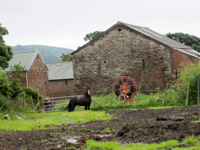
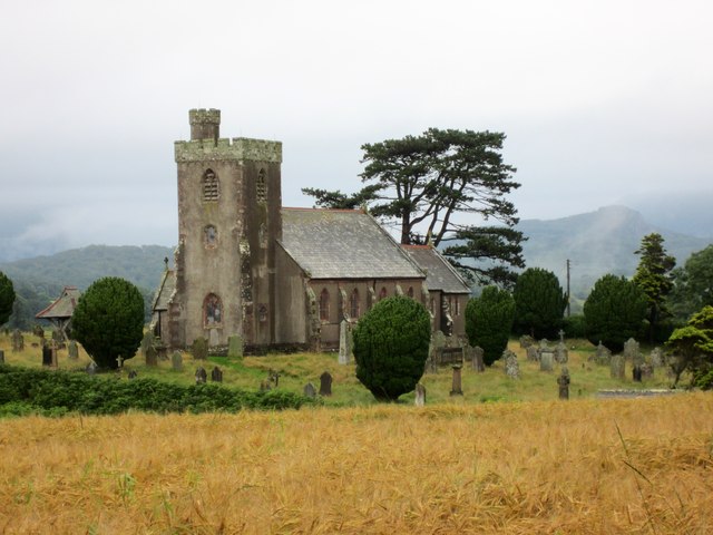
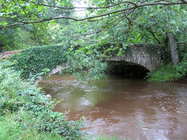
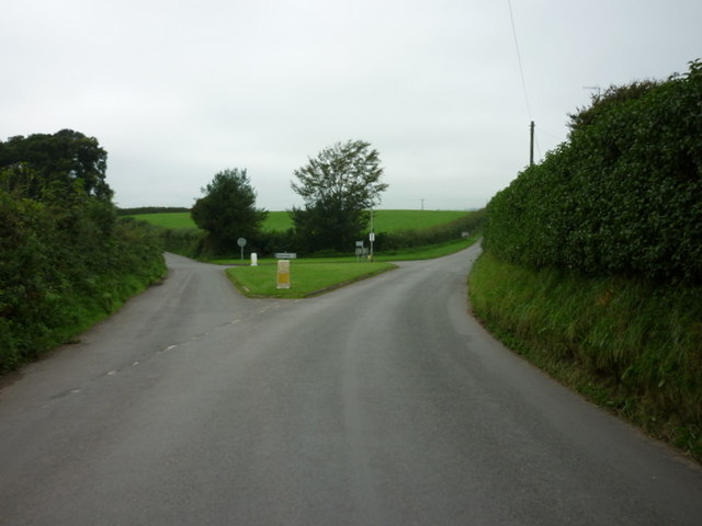
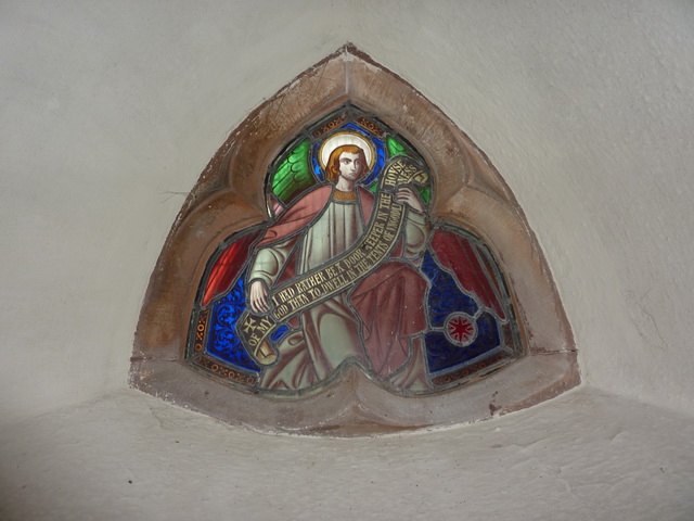
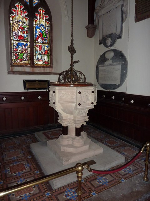
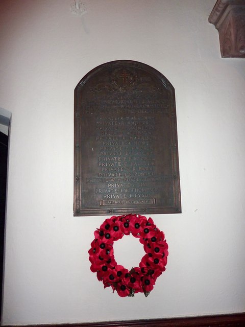
East Wood Images

Images are sourced within 2km of 54.40048/-3.3803856 or Grid Reference NY1001. Thanks to Geograph Open Source API. All images are credited.

Whitecroft, Santon Santon is a tiny hamlet about half a mile from Santon Bridge on the road to Gosforth. This row of cottages, which includes holiday lets, is the most prominent building.
Whitecroft, Santon
Santon is a tiny hamlet about half a mile from Santon Bridge on the road to Gosforth. This row of cottages, which includes holiday lets, is the most prominent building.
Graveyard Of St Paul's Church The graveyard contains the historic Irton High Cross and a copy in the form of the Brocklebank Memorial
Graveyard Of St Paul's Church
The graveyard contains the historic Irton High Cross and a copy in the form of the Brocklebank Memorial
Road junction in Santon
Irton Cross Situated in the graveyard of St Paul's Church, the Irton Cross is 10 feet tall and was erected in the early 9th Century. The cross has fine carvings and is one of the most important crosses in Cumbria.
Irton Cross
Situated in the graveyard of St Paul's Church, the Irton Cross is 10 feet tall and was erected in the early 9th Century. The cross has fine carvings and is one of the most important crosses in Cumbria.
Church of St Paul, Irton Built in 1857 with additions in 1866 and 1872, St Paul’s Church stands in an isolated position and is a good example of a small Victorian Church. It is a Grade II* Listed Building. <span class="nowrap"><a title="http://www.britishlistedbuildings.co.uk/101086671-church-of-st-paul-irton-with-santon#.WYzZbTGWw5s" rel="nofollow ugc noopener" href="http://www.britishlistedbuildings.co.uk/101086671-church-of-st-paul-irton-with-santon#.WYzZbTGWw5s">Link</a><img style="margin-left:2px;" alt="External link" title="External link - shift click to open in new window" src="https://s1.geograph.org.uk/img/external.png" width="10" height="10"/></span>
Church of St Paul, Irton
Built in 1857 with additions in 1866 and 1872, St Paul’s Church stands in an isolated position and is a good example of a small Victorian Church. It is a Grade II* Listed Building. LinkExternal link
Old Wayside Cross in St Pauls churchyard, Irton Irton Cross, in St Pauls churchyard, parish of Irton with Santon (Copeland District), South side of church.

Scheduled Monument.
List Entry Number: 1012642 <span class="nowrap"><a title="https://historicengland.org.uk/listing/the-list/list-entry/1012642" rel="nofollow ugc noopener" href="https://historicengland.org.uk/listing/the-list/list-entry/1012642">Link</a><img style="margin-left:2px;" alt="External link" title="External link - shift click to open in new window" src="https://s1.geograph.org.uk/img/external.png" width="10" height="10"/></span>

To be surveyed

Milestone Society National ID: CBCL_IRT
Old Wayside Cross in St Pauls churchyard, Irton
Irton Cross, in St Pauls churchyard, parish of Irton with Santon (Copeland District), South side of church. Scheduled Monument. List Entry Number: 1012642 LinkExternal link To be surveyed Milestone Society National ID: CBCL_IRT
Kirklands Farm Farm viewed from the Public Footpath.
Kirklands Farm
Farm viewed from the Public Footpath.
St Paul's Church Irton Viewed from the public footpath. Some geographs name this church St Peters, St Pauls or St Paul's. St Paul's Church is an excellent example of a Victorian Church. The existing church was demolished in 1865 and work started on this one. In the churchyard is the 10 feet high Irton Cross erected in the early 9th Century.

In the tower is a peal of eight bells and there are memorials to the Brocklebank family, and to Admiral Lutwidge. There are many stained glass windows in the church.
Source: Visit Cumbria
St Paul's Church Irton
Viewed from the public footpath. Some geographs name this church St Peters, St Pauls or St Paul's. St Paul's Church is an excellent example of a Victorian Church. The existing church was demolished in 1865 and work started on this one. In the churchyard is the 10 feet high Irton Cross erected in the early 9th Century. In the tower is a peal of eight bells and there are memorials to the Brocklebank family, and to Admiral Lutwidge. There are many stained glass windows in the church. Source: Visit Cumbria
Stock bridge over the River Irt Viewed from the Public footpath, a muddy looking river.
Stock bridge over the River Irt
Viewed from the Public footpath, a muddy looking river.
The road junction at Santon
St Paul's Church, Irton
St Paul's Church, Irton, War Memorial
St Paul's Church, Irton, Lychgate
St Paul's Church, Irton, Stained glass window
St Paul's Church, Irton, Font
St Paul's Church, Irton, War Memorial
St Paul's Church, Irton, Banner
Show me another place!

East Wood is located at Grid Ref: NY1001 (Lat: 54.40048, Lng: -3.3803856)

Administrative County: Cumbria

District: Copeland

Police Authority: Cumbria

What 3 Words

///ideal.manage.sleepers. Near Seascale, Cumbria

Related Wikis

Santon Bridge

Santon Bridge is a small village in Copeland, Cumbria, England, at a bridge over the River Irt. The civil parish is called Irton with Santon. The population...

Irton with Santon

Irton with Santon is a civil parish in Copeland, Cumbria, England, which includes the village of Santon Bridge. It has a parish council. It had a population...

Irton Pike

Irton Pike is a hill in the west of the English Lake District, near Santon Bridge, Cumbria. It is the subject of a chapter of Alfred Wainwright's book...
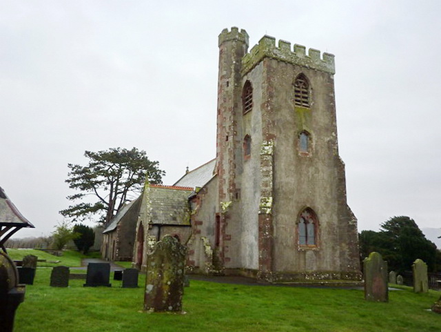
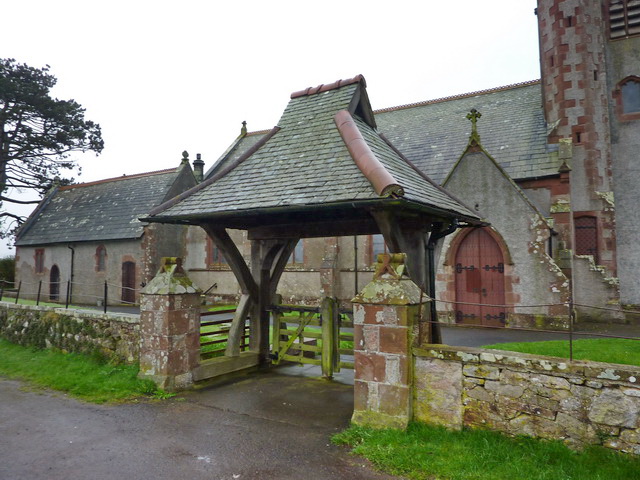
St Paul, Irton

St Paul, Irton is an active parish church in the civil parish of Irton with Santon, Cumbria, England. It is in the Calder Deanery of the Anglican diocese...
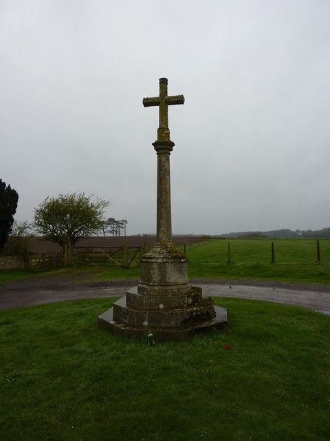
Irton Cross

Irton Cross is an Anglo-Saxon cross in the graveyard of St Paul's Church, in the parish of Irton with Santon, Cumbria, England. Dating from the early...

River Bleng

The River Bleng is a tributary of the River Irt in the county of Cumbria in northern England.The river gives its name to the valley that it flows through...

Murthwaite Halt railway station

Murthwaite Halt railway station is a small intermediate railway station on the 15" gauge Ravenglass & Eskdale Railway in Cumbria, England. It is named...

Holmrook

Holmrook is a linear village in the English county of Cumbria. It lies along the A595 road on the west banks of the River Irt. The B5344 road connects...

Nearby Amenities

Located within 500m of 54.40048,-3.3803856
Hall Flatt
Place: locality
Lat/Long: 54.399756/-3.3819566
Mill Place
Place: locality
Lat/Long: 54.3975742/-3.3779033
Power: pole
Lat/Long: 54.4046002/-3.3828186
Power: pole
Lat/Long: 54.4043119/-3.3811188
Power: pole
Lat/Long: 54.4040545/-3.3795182
Power: pole
Lat/Long: 54.4037839/-3.3778299
Power: pole
Lat/Long: 54.4035188/-3.3763283
Power: pole
Lat/Long: 54.4032848/-3.3748992
Power: pole
Lat/Long: 54.4028677/-3.3781748
Power: pole
Lat/Long: 54.4019094/-3.3785616
Power: pole
Lat/Long: 54.4009643/-3.378916
Power: pole
Lat/Long: 54.400149/-3.3792552
Power: pole
Lat/Long: 54.4001579/-3.380511
Power: pole
Lat/Long: 54.4001834/-3.3821193
Power: pole
Lat/Long: 54.3999827/-3.3840667
Power: pole
Lat/Long: 54.3998751/-3.3851605
The data included in this document is from www.openstreetmap.org. The data is made available under ODbL.

Have you been to East Wood?

Leave your review of East Wood below (or comments, questions and feedback).