Litheridge Wood

Wood, Forest in Somerset Somerset West and Taunton

England

Litheridge Wood

Stogumber village Taken from Ashbeer Hill in 1965. The tower of St Mary's Church stands out.
Stogumber village Credit: David Purchase

Litheridge Wood is a charming woodland located in the county of Somerset, England. Situated near the village of Litheridge, this wood is a haven of natural beauty and tranquility. Covering an area of approximately 100 acres, it offers a diverse range of flora and fauna, making it a popular destination for nature enthusiasts and walkers alike.

The wood is predominantly composed of native broadleaf trees, such as oak, beech, and ash, which form a dense canopy overhead. This creates a shaded and cool environment, particularly refreshing during the hot summer months. The forest floor is carpeted with a variety of wildflowers, including bluebells and wood anemones, adding bursts of vibrant color to the landscape.

Litheridge Wood is home to a plethora of wildlife, providing a vital habitat for many species. Visitors may catch a glimpse of roe deer, badgers, foxes, and a rich assortment of birdlife, including woodpeckers, owls, and warblers. The wood is also inhabited by numerous insects and small mammals, adding to its ecological significance.

Trails wind through the wood, allowing visitors to explore its many hidden corners and discover its natural wonders. As they walk along the well-maintained paths, visitors can breathe in the crisp, clean air and immerse themselves in the peaceful ambiance of the woodland.

Overall, Litheridge Wood is a true gem in the Somerset countryside. Its picturesque scenery, diverse wildlife, and serene atmosphere make it a must-visit destination for anyone seeking solace in nature.

If you have any feedback on the listing, please let us know in the comments section below.

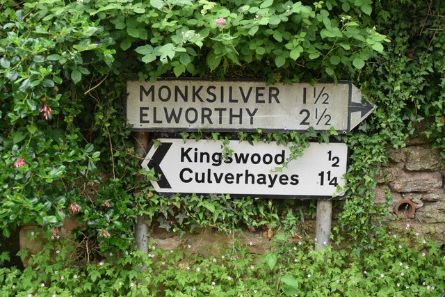
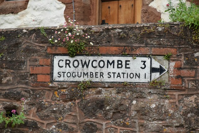
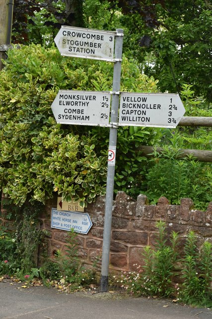
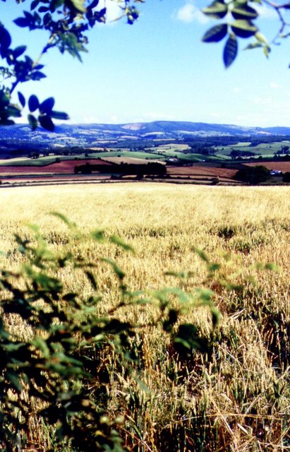
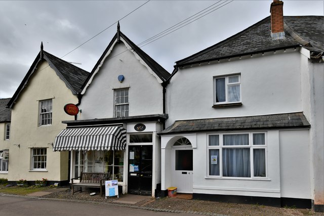
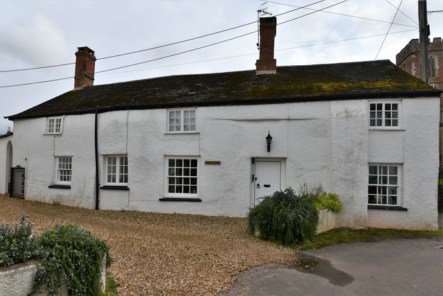
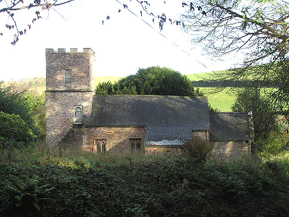
Litheridge Wood Images

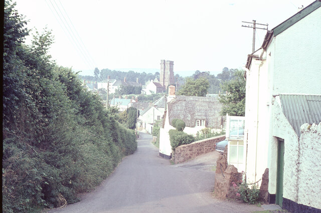
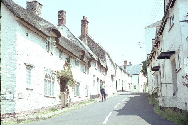
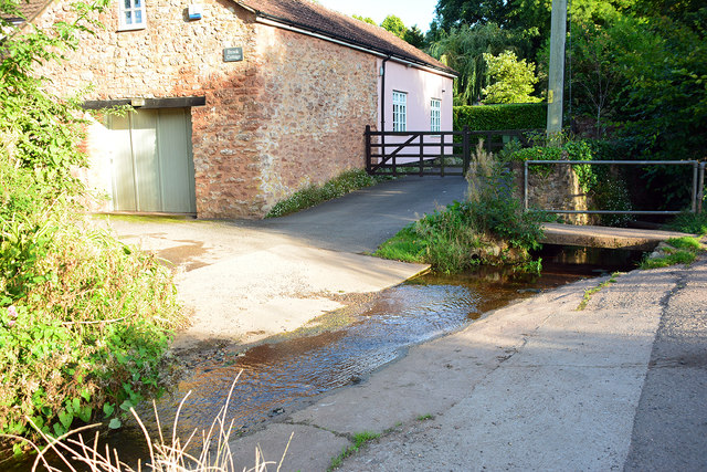
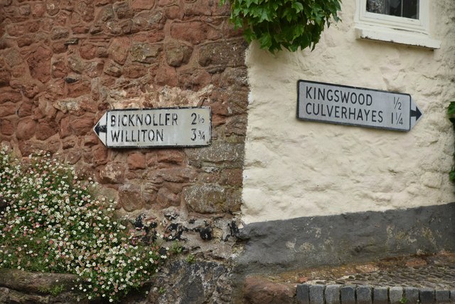
Images are sourced within 2km of 51.118995/-3.2763462 or Grid Reference ST1036. Thanks to Geograph Open Source API. All images are credited.

Stogumber village Taken from Ashbeer Hill in 1965. The tower of St Mary's Church stands out.
Stogumber village
Taken from Ashbeer Hill in 1965. The tower of St Mary's Church stands out.
In Stogumber village Pink seemed to be the fashionable colour in 1965!

The road on the left leads to Bicknoller and Williton. My father is standing in the road.
In Stogumber village
Pink seemed to be the fashionable colour in 1965! The road on the left leads to Bicknoller and Williton. My father is standing in the road.
St Mary's Church, Stogumber
Ordnance Survey Cut Mark This OS cut mark can be found on the north face of St Mary's Church. It marks a point 89.019m above mean sea level.
Ordnance Survey Cut Mark
This OS cut mark can be found on the north face of St Mary's Church. It marks a point 89.019m above mean sea level.
Stogumber Ford This ford is found at Stogumber.
Stogumber Ford
This ford is found at Stogumber.
Music Festival Stogumber A music festival with performances held in St Mary's Church (shown here), Stogumber village hall, with this photograph showing one of the free performances held in the White Horse Inn Skittle Alley/Barn, and in the square in front of the Church and White Horse Inn.
Music Festival Stogumber
A music festival with performances held in St Mary's Church (shown here), Stogumber village hall, with this photograph showing one of the free performances held in the White Horse Inn Skittle Alley/Barn, and in the square in front of the Church and White Horse Inn.
Churchyard, Stogumber A path leads through it to St Mary's Church; the usual entrance to the church is round the other side on the north.  The church was hosting Evensong with a visiting choir as part of the annual Stogumber Music Festival.
Churchyard, Stogumber
A path leads through it to St Mary's Church; the usual entrance to the church is round the other side on the north. The church was hosting Evensong with a visiting choir as part of the annual Stogumber Music Festival.
Mileage Plates in Stogumber
Mileage Plate in Stogumber
Modern SCC Fingerpost, Stogumber
Farmland Above Preston
Stogumber Post Office
Stogumber: Manor Cottage
Stogumber, St. Mary's Church
Stogumber, St. Mary's Church: The nave
Stogumber, St. Mary's Church: c15th octagonal font with Victorian cover 1
Stogumber, St. Mary's Church: c15th octagonal font with Victorian cover 2
Show me another place!

Litheridge Wood is located at Grid Ref: ST1036 (Lat: 51.118995, Lng: -3.2763462)

Administrative County: Somerset

District: Somerset West and Taunton

Police Authority: Avon and Somerset

What 3 Words

///create.notifying.rinse. Near Williton, Somerset

Related Wikis

Stogumber railway station

Stogumber railway station is a station in Kingswood, Somerset, England which serves the nearby village of Stogumber. It was opened by the West Somerset...

Stogumber

Stogumber () is a village and civil parish in Somerset, England, on the eastern flank of the Brendon Hills. Besides Stogumber village itself, the parish...

Curdon Camp

Curdon Camp is a univallate Iron Age hill fort in the West Somerset district of Somerset, England. It is a Scheduled Ancient Monument.The hill fort is...

Roebuck Meadows

Roebuck Meadows (grid reference ST132354) is a 3.6 hectare (8.9 acre) biological Site of Special Scientific Interest south of Crowcombe in Somerset, notified...

Halsway Manor

Halsway Manor (also known as Halsway Court) is a manor house in Halsway, Somerset. It is owned by the Halsway Manor Society who operate the manor as a...

Bridgwater and West Somerset (UK Parliament constituency)

Bridgwater and West Somerset is a constituency represented in the House of Commons of the UK Parliament since 2010 by Ian Liddell-Grainger, a Conservative...

Elworthy

Elworthy is a small village and civil parish in the Brendon Hills 5 miles (8 km) south-east of Watchet, and 12 miles (19 km) west of Taunton, in the Somerset...

Church of St Martin, Elworthy

The Church of St Martin in Elworthy, Somerset, England, is dedicated to St Martin of Tours. It dates from the 13th century and is recorded in the National...

Nearby Amenities

Located within 500m of 51.118995,-3.2763462
Power: tower
Source: bing
Lat/Long: 51.1200444/-3.2695996
Barrier: stile
Bicycle: no
Foot: yes
Material: wood
Stile: stepover
Lat/Long: 51.1212213/-3.2771597
Brand: National Grid
Brand Wikidata: Q1465461
Material: wood
Operator: National Grid Electricity Distribution Plc
Operator Old: Western Power Distribution
Operator Wikidata: Q7988183
Owner: National Grid Electricity Distribution (South West) Plc
Owner Wikidata: Q114397866
Power: pole
Lat/Long: 51.1209956/-3.2816787
Brand: National Grid
Brand Wikidata: Q1465461
Material: wood
Operator: National Grid Electricity Distribution Plc
Operator Old: Western Power Distribution
Operator Wikidata: Q7988183
Owner: National Grid Electricity Distribution (South West) Plc
Owner Wikidata: Q114397866
Power: pole
Lat/Long: 51.1199551/-3.2812402
Brand: National Grid
Brand Wikidata: Q1465461
Material: wood
Operator: National Grid Electricity Distribution Plc
Operator Old: Western Power Distribution
Operator Wikidata: Q7988183
Owner: National Grid Electricity Distribution (South West) Plc
Owner Wikidata: Q114397866
Power: pole
Lat/Long: 51.119046/-3.2808499
Brand: National Grid
Brand Wikidata: Q1465461
Material: wood
Operator: National Grid Electricity Distribution Plc
Operator Old: Western Power Distribution
Operator Wikidata: Q7988183
Owner: National Grid Electricity Distribution (South West) Plc
Owner Wikidata: Q114397866
Power: pole
Lat/Long: 51.1179356/-3.2803953
Brand: National Grid
Brand Wikidata: Q1465461
Material: wood
Operator: National Grid Electricity Distribution Plc
Operator Old: Western Power Distribution
Operator Wikidata: Q7988183
Owner: National Grid Electricity Distribution (South West) Plc
Owner Wikidata: Q114397866
Power: pole
Lat/Long: 51.1170382/-3.2800157
Brand: National Grid
Brand Wikidata: Q1465461
Design: h-frame
Material: wood
Operator: National Grid Electricity Distribution Plc
Operator Old: Western Power Distribution
Operator Wikidata: Q7988183
Owner: National Grid Electricity Distribution (South West) Plc
Owner Wikidata: Q114397866
Power: pole
Lat/Long: 51.1160852/-3.2796255
Brand: National Grid
Brand Wikidata: Q1465461
Material: wood
Operator: National Grid Electricity Distribution Plc
Operator Old: Western Power Distribution
Operator Wikidata: Q7988183
Owner: National Grid Electricity Distribution (South West) Plc
Owner Wikidata: Q114397866
Power: pole
Lat/Long: 51.1157922/-3.279085
Brand: National Grid
Brand Wikidata: Q1465461
Material: wood
Operator: National Grid Electricity Distribution Plc
Operator Old: Western Power Distribution
Operator Wikidata: Q7988183
Owner: National Grid Electricity Distribution (South West) Plc
Owner Wikidata: Q114397866
Power: pole
Lat/Long: 51.1151196/-3.2778874
Brand: National Grid
Brand Wikidata: Q1465461
Material: wood
Operator: National Grid Electricity Distribution Plc
Operator Old: Western Power Distribution
Operator Wikidata: Q7988183
Owner: National Grid Electricity Distribution (South West) Plc
Owner Wikidata: Q114397866
Power: pole
Lat/Long: 51.114649/-3.2770398
Noexit: yes
Lat/Long: 51.1212868/-3.2703516
Brand: National Grid
Brand Wikidata: Q1465461
Devices: 1
Frequency: 50
Guyed: yes
Material: wood
Operator: National Grid Electricity Distribution Plc
Operator Old: Western Power Distribution
Operator Wikidata: Q7988183
Owner: National Grid Electricity Distribution (South West) Plc
Owner Wikidata: Q114397866
Phases: 1
Power: pole
Transformer: distribution
Lat/Long: 51.1211142/-3.2760158
Brand: National Grid
Brand Wikidata: Q1465461
Material: wood
Operator: National Grid Electricity Distribution Plc
Operator Old: Western Power Distribution
Operator Wikidata: Q7988183
Owner: National Grid Electricity Distribution (South West) Plc
Owner Wikidata: Q114397866
Power: pole
Lat/Long: 51.1213872/-3.2751292
Brand: National Grid
Brand Wikidata: Q1465461
Material: wood
Operator: National Grid Electricity Distribution Plc
Operator Old: Western Power Distribution
Operator Wikidata: Q7988183
Owner: National Grid Electricity Distribution (South West) Plc
Owner Wikidata: Q114397866
Power: pole
Lat/Long: 51.1217258/-3.2740089
Brand: National Grid
Brand Wikidata: Q1465461
Material: wood
Operator: National Grid Electricity Distribution Plc
Operator Old: Western Power Distribution
Operator Wikidata: Q7988183
Owner: National Grid Electricity Distribution (South West) Plc
Owner Wikidata: Q114397866
Power: pole
Lat/Long: 51.1218359/-3.2728885
Brand: National Grid
Brand Wikidata: Q1465461
Material: wood
Operator: National Grid Electricity Distribution Plc
Operator Old: Western Power Distribution
Operator Wikidata: Q7988183
Owner: National Grid Electricity Distribution (South West) Plc
Owner Wikidata: Q114397866
Power: pole
Lat/Long: 51.1219275/-3.2720542
Watering Place
Access: private
Lat/Long: 51.1171064/-3.27626
Watering Place
Access: private
Lat/Long: 51.117928/-3.2772195
The data included in this document is from www.openstreetmap.org. The data is made available under ODbL.

Have you been to Litheridge Wood?

Leave your review of Litheridge Wood below (or comments, questions and feedback).