Craghouse Wood

Wood, Forest in Cumberland Copeland

England

Craghouse Wood

Whitecroft, Santon Santon is a tiny hamlet about half a mile from Santon Bridge on the road to Gosforth. This row of cottages, which includes holiday lets, is the most prominent building.
Whitecroft, Santon Credit: Stephen McKay

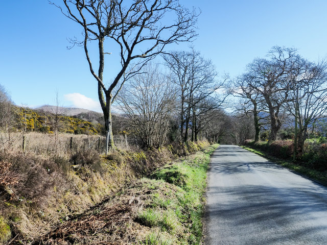
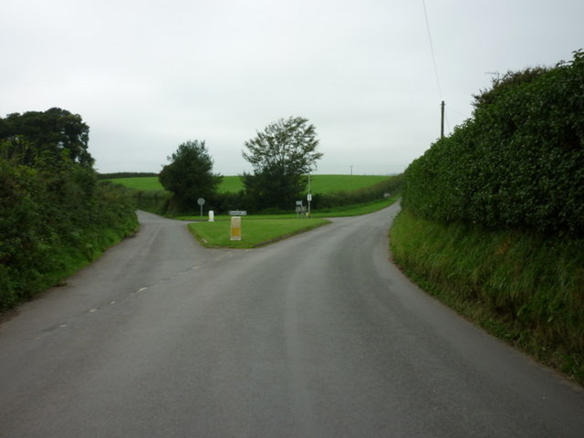
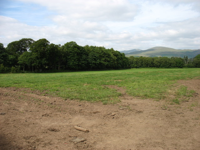
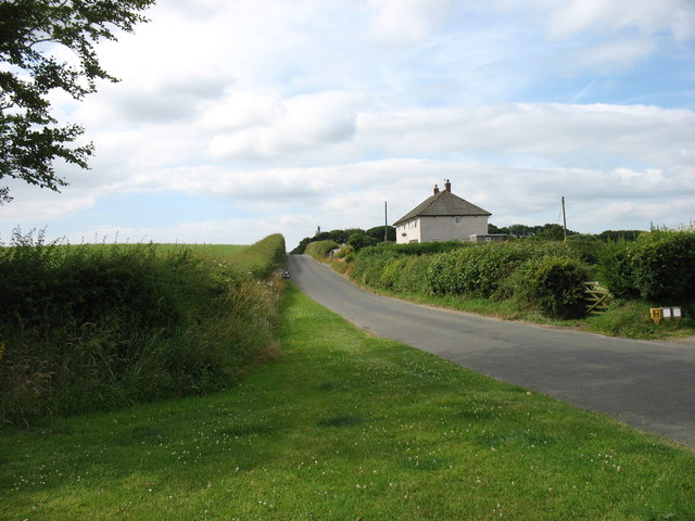
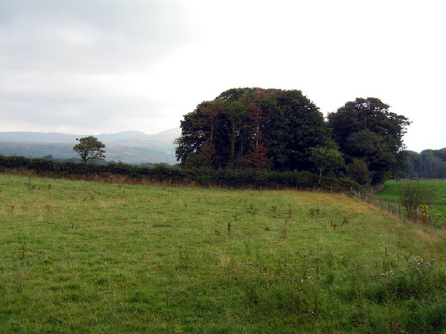
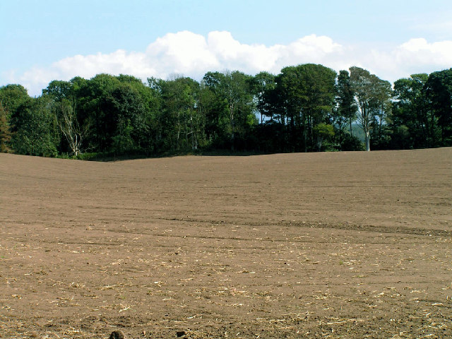
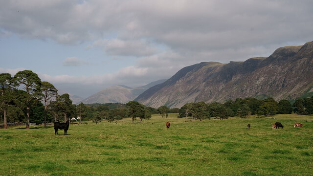
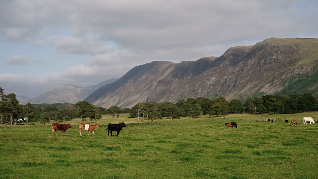
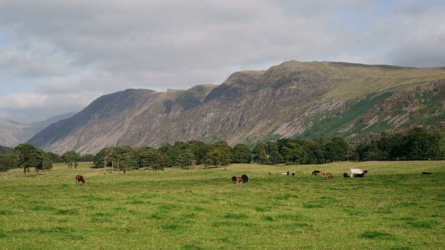
Craghouse Wood is a picturesque forest located in Cumberland, a historic county in the northwest of England. This woodland area covers a significant expanse of land, making it an ideal destination for nature enthusiasts and outdoor adventurers alike. Stretching across rolling hills and valleys, Craghouse Wood is renowned for its diverse flora and fauna, offering visitors a unique and immersive experience.

The woodland is predominantly composed of various species of deciduous trees, including oak, beech, and ash, which create a dense canopy overhead. This canopy allows for dappled sunlight to filter through, casting a magical glow on the forest floor. The undergrowth is rich with vibrant wildflowers, ferns, and mosses, contributing to the wood's enchanting ambiance.

Tranquil streams and small brooks meander through the wood, adding to its natural beauty. These water features attract a variety of woodland creatures, such as otters, kingfishers, and a myriad of insects. Birdwatchers flock to Craghouse Wood due to the abundance of avian species, including woodpeckers, thrushes, and owls.

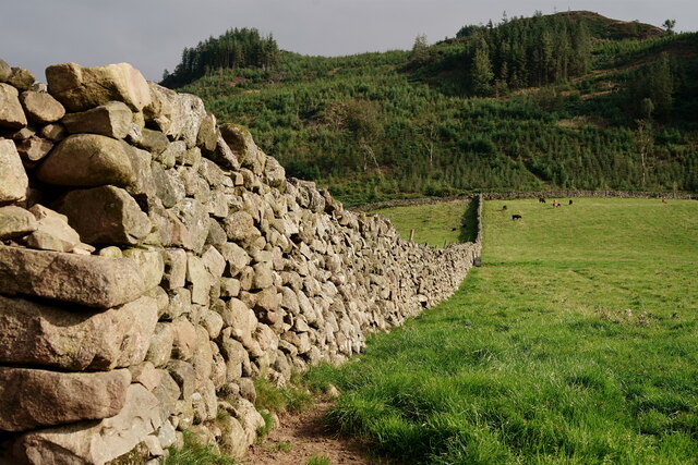
The wood provides an array of recreational opportunities for visitors. Well-maintained trails and footpaths wind through the forest, allowing for pleasant walks and hikes. Picnic areas are strategically placed, offering picturesque spots to enjoy a packed lunch amidst the serenity of nature. Additionally, Craghouse Wood is a popular spot for photography, providing endless opportunities to capture the captivating scenery.

Craghouse Wood is not only a haven for wildlife and a playground for outdoor enthusiasts, but it also serves as an important ecological site. The forest plays a vital role in maintaining the biodiversity of the region, as well as preserving the natural heritage of Cumberland.

If you have any feedback on the listing, please let us know in the comments section below.

Craghouse Wood Images

Images are sourced within 2km of 54.412648/-3.3765261 or Grid Reference NY1002. Thanks to Geograph Open Source API. All images are credited.

Whitecroft, Santon Santon is a tiny hamlet about half a mile from Santon Bridge on the road to Gosforth. This row of cottages, which includes holiday lets, is the most prominent building.
Whitecroft, Santon
Santon is a tiny hamlet about half a mile from Santon Bridge on the road to Gosforth. This row of cottages, which includes holiday lets, is the most prominent building.
Road junction in Santon
Track junction south of Bolton Head A junction of farm tracks south of Bolton Head.
Track junction south of Bolton Head
A junction of farm tracks south of Bolton Head.
Farm track east of Rainors A farm track passing between the farms of Rainors and Julian Holme. A public bridleway follows the track.
Farm track east of Rainors
A farm track passing between the farms of Rainors and Julian Holme. A public bridleway follows the track.
Hawkbarrow Farm Looking down the short lane to the farm buildings and house at Hawkbarrow Farm. The large pond in front of the steading appears to be a recent addition.
Hawkbarrow Farm
Looking down the short lane to the farm buildings and house at Hawkbarrow Farm. The large pond in front of the steading appears to be a recent addition.
Minor road north of Hawkbarrow Farm The minor road passing to the north of Hawkbarrow Farm.
Minor road north of Hawkbarrow Farm
The minor road passing to the north of Hawkbarrow Farm.
Minor road heading west The road connects Wasdale Head with Gosforth.
Seatallan is the hill on the horizon to the left of the most prominent tree.
Minor road heading west
The road connects Wasdale Head with Gosforth. Seatallan is the hill on the horizon to the left of the most prominent tree.
The road junction at Santon
Fields near Santon
Fields near Santon
Leaving Santon village On the road to Gosforth.
Leaving Santon village
On the road to Gosforth.
Open country and woodland, Wasdale This photo was taken near the intriguingly named 'Sorrowstones'. The hills around Wasdale are visible behind.
Open country and woodland, Wasdale
This photo was taken near the intriguingly named 'Sorrowstones'. The hills around Wasdale are visible behind.
Prepared Field View across open fields near Santon Bridge
Prepared Field
View across open fields near Santon Bridge
Hall Bolton Restored premises that have been divided into separate units.
Hall Bolton
Restored premises that have been divided into separate units.
Wasdale View Looking towards The Screes from behind the wall boundary.
Wasdale View
Looking towards The Screes from behind the wall boundary.
Wasdale View Looking towards The Screes from behind the wall boundary.
Wasdale View
Looking towards The Screes from behind the wall boundary.
Wasdale View Looking towards The Screes from behind the wall boundary.
Wasdale View
Looking towards The Screes from behind the wall boundary.
Wasdale Wall Looking towards the road which leads to Nether Wasdale.
Wasdale Wall
Looking towards the road which leads to Nether Wasdale.
Wasdale Wall Looking in the direction of Latterbarrow. A plantation of diseased larch was felled in 2013 and subsequently re-planted (probably spruce).
Wasdale Wall
Looking in the direction of Latterbarrow. A plantation of diseased larch was felled in 2013 and subsequently re-planted (probably spruce).
Show me another place!

Craghouse Wood is located at Grid Ref: NY1002 (Lat: 54.412648, Lng: -3.3765261)

Administrative County: Cumbria

District: Copeland

Police Authority: Cumbria

What 3 Words

///puddles.voters.housework. Near Seascale, Cumbria

Related Wikis

Nearby Amenities

Located within 500m of 54.412648,-3.3765261
Barrier: stile
Lat/Long: 54.4103564/-3.3812195
Power: pole
Lat/Long: 54.4086572/-3.377868
Power: pole
Lat/Long: 54.4091596/-3.3784187
Power: pole
Lat/Long: 54.4102021/-3.3795334
Power: pole
Lat/Long: 54.4110449/-3.379844
Power: pole
Lat/Long: 54.412145/-3.3795353
Power: pole
Lat/Long: 54.4130144/-3.3790437
Power: pole
Lat/Long: 54.4138749/-3.378514
Power: pole
Lat/Long: 54.4148019/-3.3779995
Power: pole
Lat/Long: 54.4157145/-3.3774469
Power: pole
Lat/Long: 54.4165039/-3.3761244
The data included in this document is from www.openstreetmap.org. The data is made available under ODbL.

Have you been to Craghouse Wood?

Leave your review of Craghouse Wood below (or comments, questions and feedback).