Tarn Wood

Wood, Forest in Cumberland Copeland

England

Tarn Wood

A595 junction with Main Street, Ravenglass
A595 junction with Main Street, Ravenglass Credit: Colin Pyle

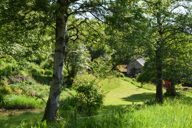
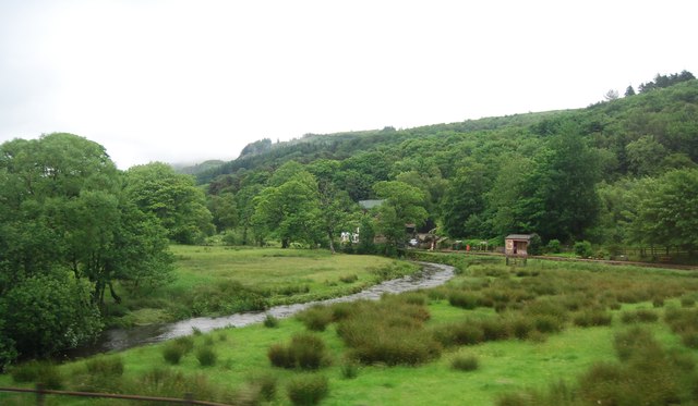
Tarn Wood, located in Cumberland, is a picturesque woodland area renowned for its natural beauty and rich biodiversity. Covering a vast area, the wood is predominantly made up of ancient oak and beech trees, creating a dense canopy that provides shelter for a diverse range of flora and fauna.

The forest floor of Tarn Wood is a haven for wildflowers, with carpets of bluebells, primroses, and wood anemones adding bursts of color throughout the year. The wood is also home to a variety of ferns, mosses, and lichens, creating a lush and vibrant undergrowth.

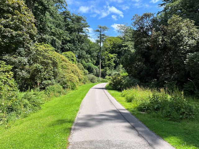
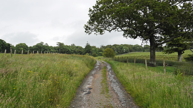
The wood is crisscrossed by a network of well-maintained footpaths, allowing visitors to explore its beauty at their own pace. These paths lead to delightful surprises such as babbling brooks, hidden waterfalls, and charming glades, making it a favorite destination for nature enthusiasts, hikers, and photographers.

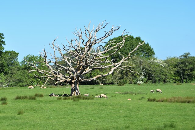
Tarn Wood is also recognized as an important habitat for a wide range of wildlife. It provides a refuge for numerous bird species, including woodpeckers, owls, and various songbirds. The wood is also home to mammals such as deer, foxes, and badgers, which can often be spotted by lucky observers.

Visitors to Tarn Wood can enjoy a peaceful and tranquil environment, away from the hustle and bustle of everyday life. The wood offers a welcome escape, allowing individuals to immerse themselves in the beauty of nature and experience its calming effects.

If you have any feedback on the listing, please let us know in the comments section below.
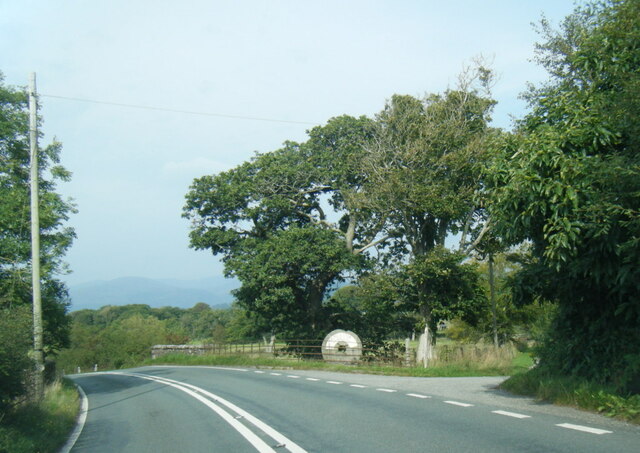
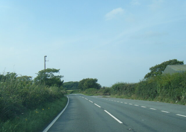
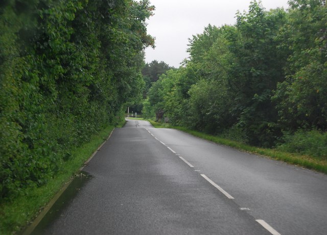
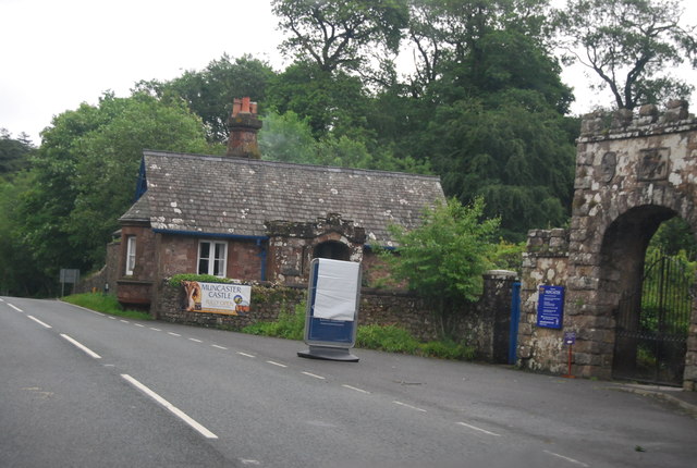
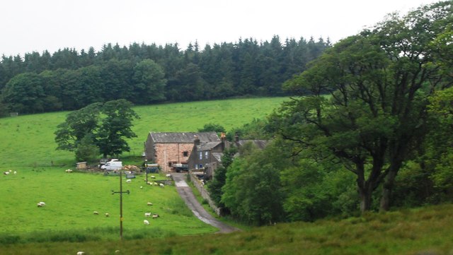
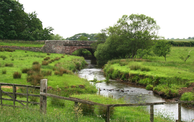
Tarn Wood Images

Images are sourced within 2km of 54.363678/-3.378489 or Grid Reference SD1097. Thanks to Geograph Open Source API. All images are credited.

A595 junction with Main Street, Ravenglass
A595 at Muncaster Mill
A595 south of Longmire Wood
Carriage drive, Muncaster Castle This is the carriage drive from the public car park beside the A595 and West Lodge to Muncaster Castle.
Carriage drive, Muncaster Castle
This is the carriage drive from the public car park beside the A595 and West Lodge to Muncaster Castle.
The Carriage Drive, Muncaster Castle Rhododendrons in bloom
The Carriage Drive, Muncaster Castle
Rhododendrons in bloom
Dead tree from the train Sheep grazing  in a meadow between the River Mite and the track of the Ravenglass  and Eskdale railway
Dead tree from the train
Sheep grazing in a meadow between the River Mite and the track of the Ravenglass and Eskdale railway
Approaching Muncaster Mill On the Ravenglass and Eskdale Railway
Approaching Muncaster Mill
On the Ravenglass and Eskdale Railway
Ravenglass Railway Train En Route to Muncaster Mill Halt
Unmade road and bridleway The roughly surfaced road is also a bridleway; it crosses farmland between the village of Ravenglass and the grounds of Muncaster Castle.
Unmade road and bridleway
The roughly surfaced road is also a bridleway; it crosses farmland between the village of Ravenglass and the grounds of Muncaster Castle.
The War Memorial on Walls Drive, Ravenglass
Walls Drive towards Ravenglass
Bend, A595 The A595 is a main road  in Cumbria, that starts in Carlisle, passes through Whitehaven, and goes close to Workington, Cockermouth and Wigton. It passes Sellafield and Ravenglass before ending at the Dalton-in-Furness by-pass, in southern Cumbria, where it joins the A590 trunk road.
Bend, A595
The A595 is a main road in Cumbria, that starts in Carlisle, passes through Whitehaven, and goes close to Workington, Cockermouth and Wigton. It passes Sellafield and Ravenglass before ending at the Dalton-in-Furness by-pass, in southern Cumbria, where it joins the A590 trunk road.
A595 The A595 is a main road  in Cumbria, that starts in Carlisle, passes through Whitehaven, and goes close to Workington, Cockermouth and Wigton. It passes Sellafield and Ravenglass before ending at the Dalton-in-Furness by-pass, in southern Cumbria, where it joins the A590 trunk road.
A595
The A595 is a main road in Cumbria, that starts in Carlisle, passes through Whitehaven, and goes close to Workington, Cockermouth and Wigton. It passes Sellafield and Ravenglass before ending at the Dalton-in-Furness by-pass, in southern Cumbria, where it joins the A590 trunk road.
River Mite The River Mite rises below the summit of Illgill Head and flows through Mitredale to its confluence with the River Esk and River Irt at Ravenglass. The Ravenglass and Eskdale Railway follows its lower course.
River Mite
The River Mite rises below the summit of Illgill Head and flows through Mitredale to its confluence with the River Esk and River Irt at Ravenglass. The Ravenglass and Eskdale Railway follows its lower course.
A595 heading south The A595 is a main road  in Cumbria, that starts in Carlisle, passes through Whitehaven, and goes close to Workington, Cockermouth and Wigton. It passes Sellafield and Ravenglass before ending at the Dalton-in-Furness by-pass, in southern Cumbria, where it joins the A590 trunk road.
A595 heading south
The A595 is a main road in Cumbria, that starts in Carlisle, passes through Whitehaven, and goes close to Workington, Cockermouth and Wigton. It passes Sellafield and Ravenglass before ending at the Dalton-in-Furness by-pass, in southern Cumbria, where it joins the A590 trunk road.
War Memorial, A595 War memorials were mainly constructed after WWI to commemorate the troops who gave their lives in the war. Many were then updated after WWII. Some war memorials date back to the Boer War. Almost every town and village in Britain has a War Memorial. They take many forms, the commonest being an obelisk, a cross or statue of a soldier. Some commemorate the inhabitants of a place, some are for schools and others are for companies or Military groupings.
Many memorials are grade II listed, 61 are II* listed, <span class="nowrap"><a title="https://en.wikipedia.org/wiki/Grade_II" rel="nofollow ugc noopener" href="https://en.wikipedia.org/wiki/Grade_II">Link</a><img style="margin-left:2px;" alt="External link" title="External link - shift click to open in new window" src="https://s1.geograph.org.uk/img/external.png" width="10" height="10"/></span>*_listed_war_memorials_in_England  
 & 12 are Grade I listed. <span class="nowrap"><a title="https://en.wikipedia.org/wiki/Grade_I_listed_war_memorials_in_England" rel="nofollow ugc noopener" href="https://en.wikipedia.org/wiki/Grade_I_listed_war_memorials_in_England">Link</a><img style="margin-left:2px;" alt="External link" title="External link - shift click to open in new window" src="https://s1.geograph.org.uk/img/external.png" width="10" height="10"/></span> 
A search for memorials can be carried out at <span class="nowrap"><a title="http://www.ukniwm.org.uk/server/show/nav.002006003" rel="nofollow ugc noopener" href="http://www.ukniwm.org.uk/server/show/nav.002006003">Link</a><img style="margin-left:2px;" alt="External link" title="External link - shift click to open in new window" src="https://s1.geograph.org.uk/img/external.png" width="10" height="10"/></span>
War Memorial, A595
War memorials were mainly constructed after WWI to commemorate the troops who gave their lives in the war. Many were then updated after WWII. Some war memorials date back to the Boer War. Almost every town and village in Britain has a War Memorial. They take many forms, the commonest being an obelisk, a cross or statue of a soldier. Some commemorate the inhabitants of a place, some are for schools and others are for companies or Military groupings. Many memorials are grade II listed, 61 are II* listed, LinkExternal link*_listed_war_memorials_in_England & 12 are Grade I listed. LinkExternal link A search for memorials can be carried out at LinkExternal link
Lodge, Muncaster Castle
Branken Wall
Branken Wall
Show me another place!

Tarn Wood is located at Grid Ref: SD1097 (Lat: 54.363678, Lng: -3.378489)

Administrative County: Cumbria

District: Copeland

Police Authority: Cumbria

What 3 Words

///lushly.woods.ranks. Near Seascale, Cumbria

Related Wikis

Nearby Amenities

Located within 500m of 54.363678,-3.378489
Chapel Wood
Natural: wood
Lat/Long: 54.3626855/-3.3730555
Information: guidepost
Tourism: information
Lat/Long: 54.3664962/-3.3767123
Information: guidepost
Tourism: information
Lat/Long: 54.3658486/-3.3775336
The data included in this document is from www.openstreetmap.org. The data is made available under ODbL.

Have you been to Tarn Wood?

Leave your review of Tarn Wood below (or comments, questions and feedback).