Ash Wood

Wood, Forest in Cumberland Copeland

England

Ash Wood

Ordnance Survey Cut Mark This OS cut mark can be found on a farm building at Hyton. It marks a point 18.712m above mean sea level.
Ordnance Survey Cut Mark Credit: Adrian Dust

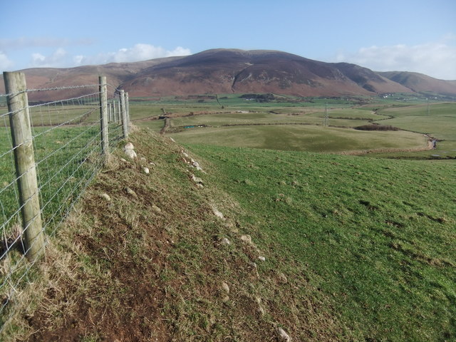
Ash Wood is a pristine forest located in the picturesque region of Cumberland, England. Covering a vast area of approximately 500 acres, this woodland is renowned for its lush greenery, diverse wildlife, and ancient ash trees that dominate the landscape. The forest is situated on the eastern slopes of the Cumberland Mountains, providing a stunning backdrop of rolling hills and breathtaking views.

The ash trees in this woodland are of particular interest, as they are believed to be centuries old, with some dating back to the medieval period. These majestic trees can reach heights of up to 100 feet, their gnarled trunks and expansive canopies create a sense of enchantment and tranquility within the forest.

Ash Wood is home to a rich variety of flora and fauna, making it a haven for nature enthusiasts and wildlife lovers. The forest floor is carpeted with a diverse range of wildflowers, ferns, and mosses, creating a vibrant and colorful tapestry. The dense vegetation provides a habitat for numerous species of birds, mammals, and insects, including the elusive red squirrels, roe deer, and various species of owls.

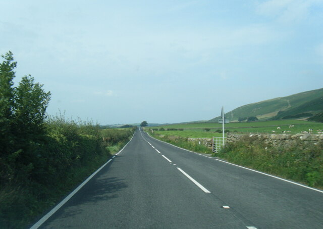
Visitors to Ash Wood can explore the forest through a network of well-maintained trails and footpaths, allowing them to immerse themselves in the natural beauty of the surroundings. The woodland also offers picnic areas, allowing visitors to relax and enjoy the serenity of the forest.

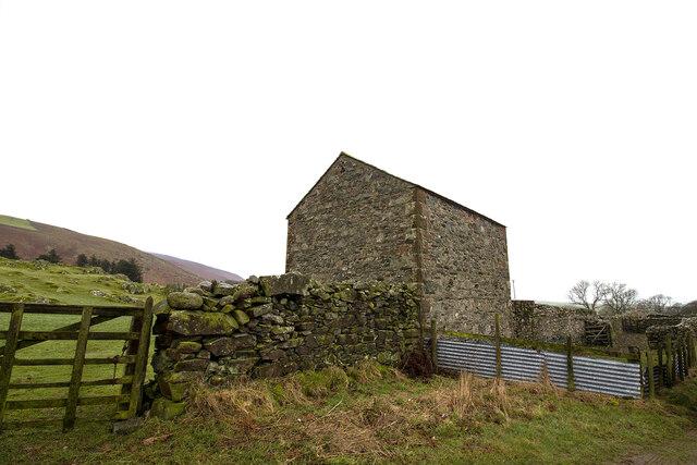
Ash Wood is not only a place of natural beauty but also a valuable ecological resource. Efforts are made to preserve and protect the forest, ensuring that future generations can continue to enjoy its wonders.

If you have any feedback on the listing, please let us know in the comments section below.
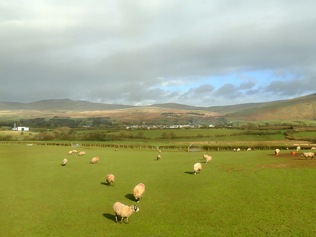
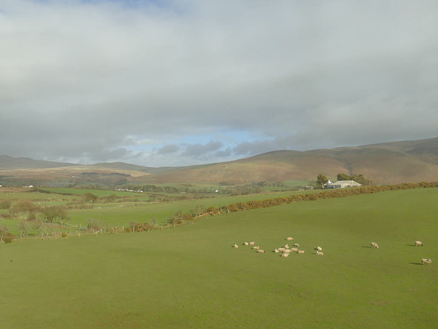
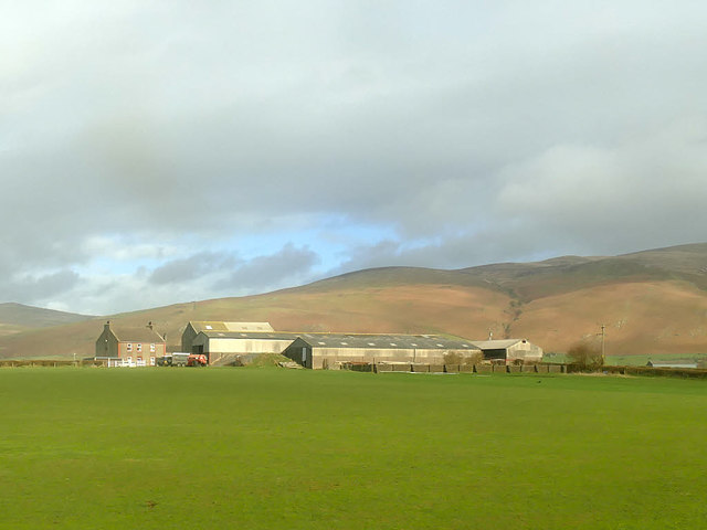
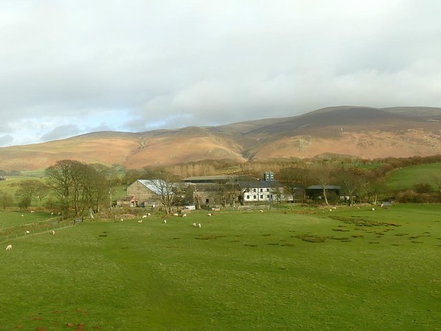
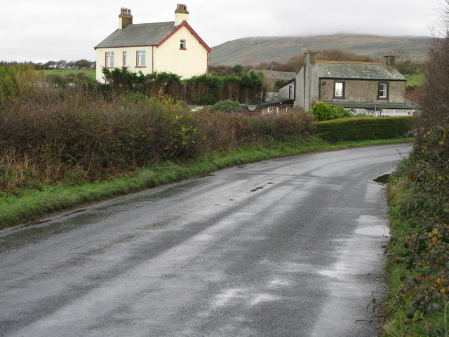
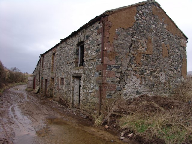
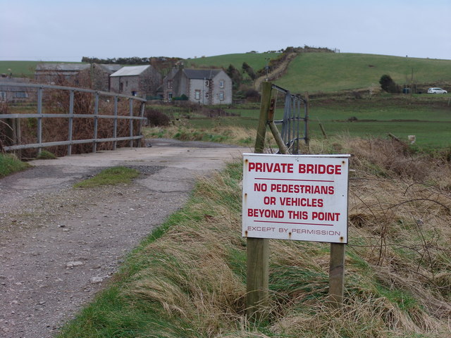
Ash Wood Images

Images are sourced within 2km of 54.273804/-3.3755483 or Grid Reference SD1087. Thanks to Geograph Open Source API. All images are credited.

Ordnance Survey Cut Mark This OS cut mark can be found on a farm building at Hyton. It marks a point 18.712m above mean sea level.
Ordnance Survey Cut Mark
This OS cut mark can be found on a farm building at Hyton. It marks a point 18.712m above mean sea level.
Ordnance Survey Cut Mark This OS cut mark can be found on the south facing barn at Hyton Farm. It marks a point 19.449m above mean sea level.
Ordnance Survey Cut Mark
This OS cut mark can be found on the south facing barn at Hyton Farm. It marks a point 19.449m above mean sea level.
Barn at High Kiskin Built prodominantly of river washed or glaciallyy rounded cobbles with a few squared quoins at the corners which must have been transported several miles from there quarry of origin.
Barn at High Kiskin
Built prodominantly of river washed or glaciallyy rounded cobbles with a few squared quoins at the corners which must have been transported several miles from there quarry of origin.
The lane to Bootle Bootle Station is about a mile from the village, and this lane connects the two.
The lane to Bootle
Bootle Station is about a mile from the village, and this lane connects the two.
Ordnance Survey Cut Mark This OS cut mark can be found on the west face of the Railway Bridge. It marks a point 12.369m above mean sea level.
Ordnance Survey Cut Mark
This OS cut mark can be found on the west face of the Railway Bridge. It marks a point 12.369m above mean sea level.
View towards Bootle village The western fells of the Lake District form the backdrop to this view from a train on the Cumbrian Coast line.
View towards Bootle village
The western fells of the Lake District form the backdrop to this view from a train on the Cumbrian Coast line.
View towards Mount Rivers Farm The western fells of the Lake District form the backdrop to this view from a train on the Cumbrian Coast line.
View towards Mount Rivers Farm
The western fells of the Lake District form the backdrop to this view from a train on the Cumbrian Coast line.
Old Hyton Farm The western fells of the Lake District form the backdrop to this view from a train on the Cumbrian Coast line.
Old Hyton Farm
The western fells of the Lake District form the backdrop to this view from a train on the Cumbrian Coast line.
Holmegate Farm The western fells of the Lake District form the backdrop to this view from a train on the Cumbrian Coast line.
Holmegate Farm
The western fells of the Lake District form the backdrop to this view from a train on the Cumbrian Coast line.
Hedge Close A fine South Cumbrian cottage.
Hedge Close
A fine South Cumbrian cottage.
Outbuilding on Syke Beck Farm Vernacular south Cumbrian coastal architecture still in use.
Outbuilding on Syke Beck Farm
Vernacular south Cumbrian coastal architecture still in use.
Bridge over river Annas Annaside farm in the background.
Bridge over river Annas
Annaside farm in the background.
Looking west from The Hawes
A595 near Monk Fosse Farm
A595 at Bootle village boundary near Broomhill
A595 northbound in Bootle
Field barn and sheep pens Field barn and sheep pens near Bootle village
Field barn and sheep pens
Field barn and sheep pens near Bootle village
Ordnance Survey Flush Bracket (S7102) This OS Flush Bracket can be found on the school. It marks a point 27.987m above mean sea level.
Ordnance Survey Flush Bracket (S7102)
This OS Flush Bracket can be found on the school. It marks a point 27.987m above mean sea level.
Show me another place!

Ash Wood is located at Grid Ref: SD1087 (Lat: 54.273804, Lng: -3.3755483)

Administrative County: Cumbria

District: Copeland

Police Authority: Cumbria

What 3 Words

///voices.flocking.punctuate. Near Millom, Cumbria

Nearby Locations

Ash Wood Thornthwaite Wood

Related Wikis

Nearby Amenities

Located within 500m of 54.273804,-3.3755483
Material: wood
Power: pole
Lat/Long: 54.2768597/-3.3719104
Material: wood
Power: pole
Lat/Long: 54.2774246/-3.3736794
Power: pole
Lat/Long: 54.2770598/-3.3744864
Material: wood
Power: pole
Lat/Long: 54.2763744/-3.3704003
Power: pole
Lat/Long: 54.276367/-3.3757993
Power: pole
Lat/Long: 54.2757931/-3.376962
Power: pole
Lat/Long: 54.2751936/-3.3781291
Power: pole
Lat/Long: 54.2745122/-3.3794936
Power: pole
Lat/Long: 54.2741433/-3.3801211
Power: pole
Lat/Long: 54.2736616/-3.380924
Power: pole
Lat/Long: 54.2728802/-3.3822052
Generator Method: photovoltaic
Generator Orientation: south_west
Generator Output Electricity: yes
Generator Solar Modules: 16
Generator Source: solar
Generator Type: solar_photovoltaic_panel
Location: roof
Power: generator
Lat/Long: 54.2751752/-3.3803399
Generator Method: photovoltaic
Generator Orientation: south
Generator Output Electricity: yes
Generator Solar Modules: 16
Generator Source: solar
Generator Type: solar_photovoltaic_panel
Location: roof
Power: generator
Lat/Long: 54.2709858/-3.3773731
Power: pole
Lat/Long: 54.2731617/-3.3802333
Power: pole
Lat/Long: 54.2723698/-3.3791936
Power: pole
Lat/Long: 54.2716322/-3.3782208
Power: pole
Lat/Long: 54.2744283/-3.3818834
The data included in this document is from www.openstreetmap.org. The data is made available under ODbL.

Have you been to Ash Wood?

Leave your review of Ash Wood below (or comments, questions and feedback).