Lilly Copse
Wood, Forest in Somerset Somerset West and Taunton
England
Lilly Copse

Lilly Copse is a picturesque woodland located in Somerset, England. Spanning over a vast area, it is renowned for its stunning natural beauty and diverse range of flora and fauna. The copse is situated in close proximity to the village of Lilly, and its tranquil atmosphere makes it a popular destination for nature enthusiasts and hikers alike.
The woodland is characterized by its dense canopy of tall trees, predominantly consisting of oak, beech, and hazel. These trees provide a haven for a wide variety of wildlife, including squirrels, deer, and numerous species of birds. The copse is particularly known for its vibrant bird population, attracting birdwatchers from all over the region.
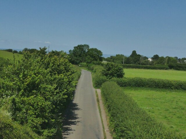
Lilly Copse features a network of well-maintained trails, allowing visitors to explore its enchanting surroundings. The paths wind through the wood, leading to secluded clearings and babbling streams. The copse also boasts a small picnic area, providing the perfect spot for visitors to relax and soak in the natural beauty of the surroundings.
The woodland is open to the public year-round and offers a range of activities for all ages. It is a popular destination for family outings, nature walks, and photography enthusiasts. The copse is also used for educational purposes, with local schools organizing field trips to teach students about the importance of preserving natural habitats.
Overall, Lilly Copse is a cherished natural gem in Somerset, offering a serene and captivating experience for all who visit. Its lush vegetation, diverse wildlife, and well-maintained trails make it an ideal destination for those seeking a peaceful escape into nature.
If you have any feedback on the listing, please let us know in the comments section below.
Lilly Copse Images
Images are sourced within 2km of 51.179026/-3.2888768 or Grid Reference ST1042. Thanks to Geograph Open Source API. All images are credited.


Lilly Copse is located at Grid Ref: ST1042 (Lat: 51.179026, Lng: -3.2888768)
Administrative County: Somerset
District: Somerset West and Taunton
Police Authority: Avon and Somerset
What 3 Words
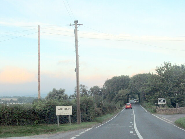
///mile.cherish.telephone. Near Williton, Somerset
Nearby Locations
Related Wikis

St Audries Park
St Audries Park Manor house at West Quantoxhead in the Quantock Hills of Somerset, England, was the manor house of the Acland family. It was rebuilt on...

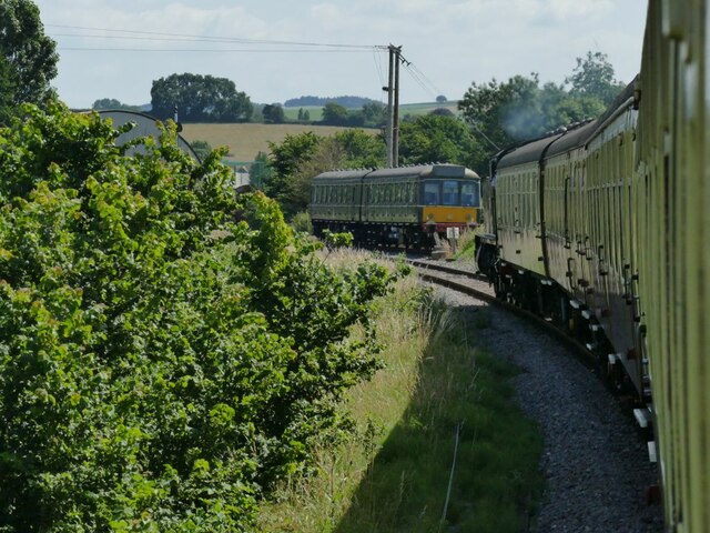
Doniford Halt railway station
Doniford Halt railway station, sometimes known as Doniford Beach Halt, is a request stop situated on the West Somerset Railway, a heritage railway in...

West Quantoxhead
West Quantoxhead is a small village and civil parish in the Somerset West and Taunton district of Somerset, England. It lies on the route of the Coleridge...

Church of St Etheldreda, West Quantoxhead
The Church of St Etheldreda, also known as the Church of St Audries, is a Church of England parish church in West Quantoxhead, Somerset, England. Designed...

Williton railway station
Williton railway station in Williton, Somerset, England, was opened by the West Somerset Railway in 1862 and closed by British Rail in 1971. It was reopened...

Williton Rural District
Williton was a rural district in Somerset, England, from 1894 to 1974. It was created in 1894 under the Local Government Act 1894. In 1974 it was abolished...
Williton
Williton is a large village and civil parish in Somerset, England, at the junction of the A39, A358 and B3191 roads, on the coast 2 miles (3.2 km) south...
Lilstock Formation
The Lilstock Formation is a geologic formation in England. It preserves bivalve, insect and other invertebrate fossils, as well as fossil fish of Agkistracanthus...
Nearby Amenities
Located within 500m of 51.179026,-3.2888768Have you been to Lilly Copse?
Leave your review of Lilly Copse below (or comments, questions and feedback).