Sinkingclose Copse
Wood, Forest in Somerset Somerset West and Taunton
England
Sinkingclose Copse

Sinkingclose Copse is a picturesque wood located in Somerset, England. Situated near the village of Sinkingclose, the copse covers an area of approximately 50 acres and is known for its diverse range of tree species and tranquil atmosphere.
The copse is predominantly made up of broadleaf trees, including oak, beech, ash, and birch. These trees provide a dense canopy that filters sunlight, creating a cool and shaded environment within the wood. The forest floor is covered in a thick layer of leaf litter, adding to the peaceful ambiance and providing a habitat for various woodland creatures.
The copse is crisscrossed with a network of well-maintained footpaths, allowing visitors to explore the wood and admire its natural beauty. These paths wind their way through the trees, offering breathtaking views of the surrounding countryside and glimpses of wildlife such as deer, squirrels, and a variety of bird species.
Sinkingclose Copse is a popular destination for nature lovers, hikers, and photographers. Its tranquil setting provides an escape from the hustle and bustle of everyday life, offering visitors a chance to connect with nature and enjoy the therapeutic benefits of spending time in a woodland environment.
The copse is also an important ecological site, providing a habitat for a wide range of plant and animal species. It is part of a larger network of woodlands in the area that contribute to the overall biodiversity of Somerset.
Overall, Sinkingclose Copse is a hidden gem in Somerset, offering visitors a chance to immerse themselves in the beauty of nature and experience the tranquility of a woodland setting.
If you have any feedback on the listing, please let us know in the comments section below.
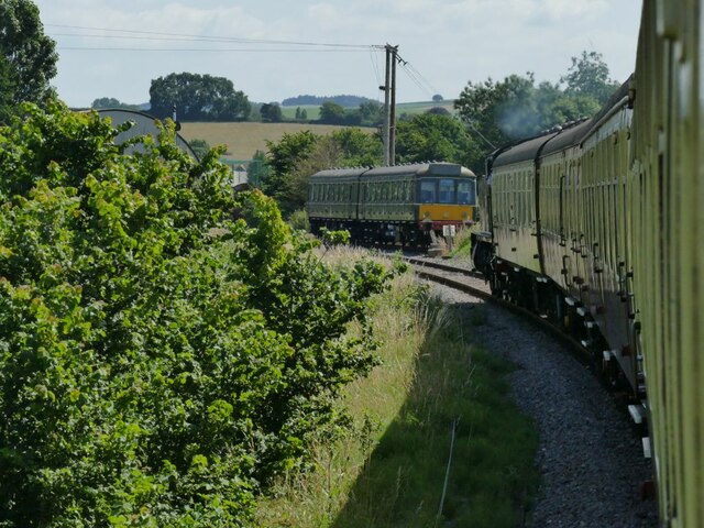
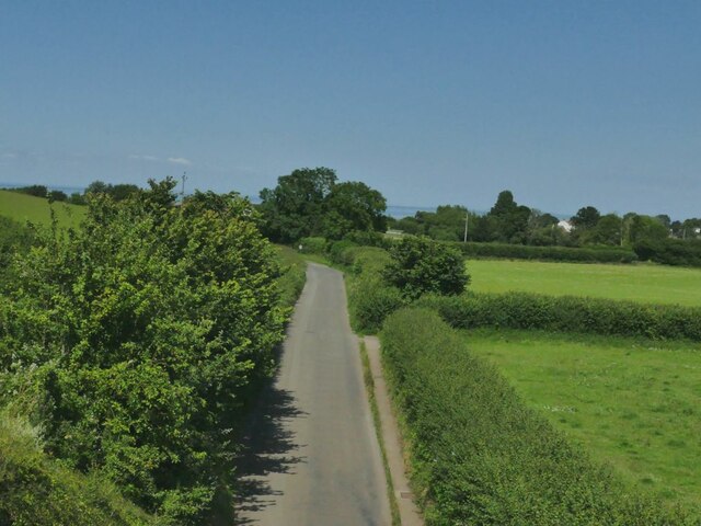
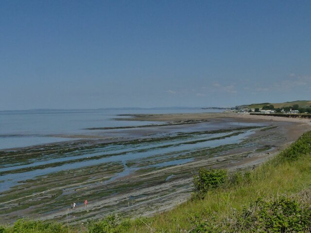
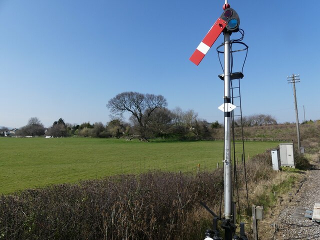
Sinkingclose Copse Images
Images are sourced within 2km of 51.17739/-3.2928512 or Grid Reference ST0942. Thanks to Geograph Open Source API. All images are credited.


Sinkingclose Copse is located at Grid Ref: ST0942 (Lat: 51.17739, Lng: -3.2928512)
Administrative County: Somerset
District: Somerset West and Taunton
Police Authority: Avon and Somerset
What 3 Words
///ticked.twitches.belt. Near Williton, Somerset
Nearby Locations
Related Wikis

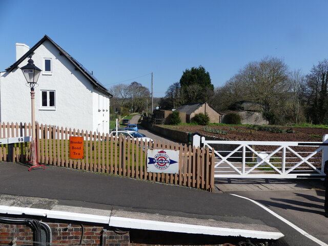
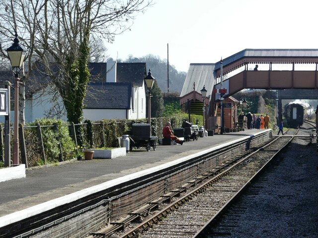
Doniford Halt railway station
Doniford Halt railway station, sometimes known as Doniford Beach Halt, is a request stop situated on the West Somerset Railway, a heritage railway in...

St Audries Park
St Audries Park Manor house at West Quantoxhead in the Quantock Hills of Somerset, England, was the manor house of the Acland family. It was rebuilt on...

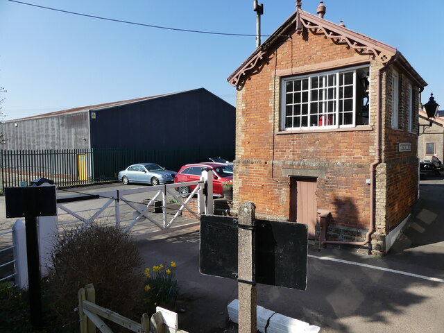
Williton railway station
Williton railway station in Williton, Somerset, England, was opened by the West Somerset Railway in 1862 and closed by British Rail in 1971. It was reopened...

West Quantoxhead
West Quantoxhead is a small village and civil parish in the Somerset West and Taunton district of Somerset, England. It lies on the route of the Coleridge...

Williton Rural District
Williton was a rural district in Somerset, England, from 1894 to 1974. It was created in 1894 under the Local Government Act 1894. In 1974 it was abolished...
Williton
Williton is a large village and civil parish in Somerset, England, at the junction of the A39, A358 and B3191 roads, on the coast 2 miles (3.2 km) south...

Church of St Etheldreda, West Quantoxhead
The Church of St Etheldreda, also known as the Church of St Audries, is a Church of England parish church in West Quantoxhead, Somerset, England. Designed...

Watchet Boat Museum
Watchet Boat Museum is a small museum in Watchet, Somerset, England. It is housed in the 1862, Victorian, former railway goods shed of Watchet railway...
Nearby Amenities
Located within 500m of 51.17739,-3.2928512Have you been to Sinkingclose Copse?
Leave your review of Sinkingclose Copse below (or comments, questions and feedback).