Brice's Copse
Wood, Forest in Somerset Somerset West and Taunton
England
Brice's Copse

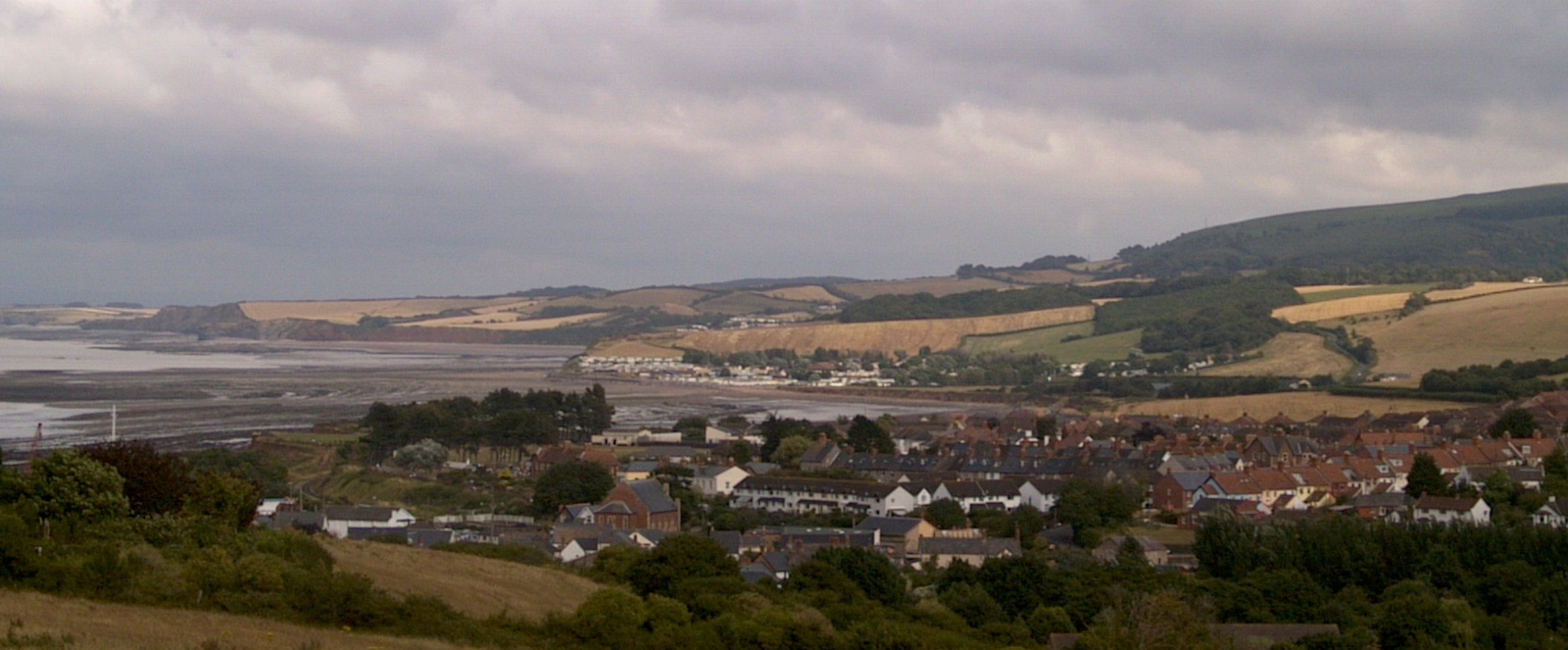
Brice's Copse is a charming wood located in the county of Somerset, England. Nestled in the heart of the countryside, this forested area covers an approximate area of 50 acres and is a popular destination for nature enthusiasts and hikers alike.
The copse boasts a diverse range of flora and fauna, making it a haven for wildlife. Towering oak and beech trees dominate the landscape, providing a rich canopy that filters the sunlight and creates a serene atmosphere. Walking through the wood, visitors can expect to encounter a variety of bird species, including woodpeckers and owls, as well as small mammals such as squirrels, rabbits, and deer.
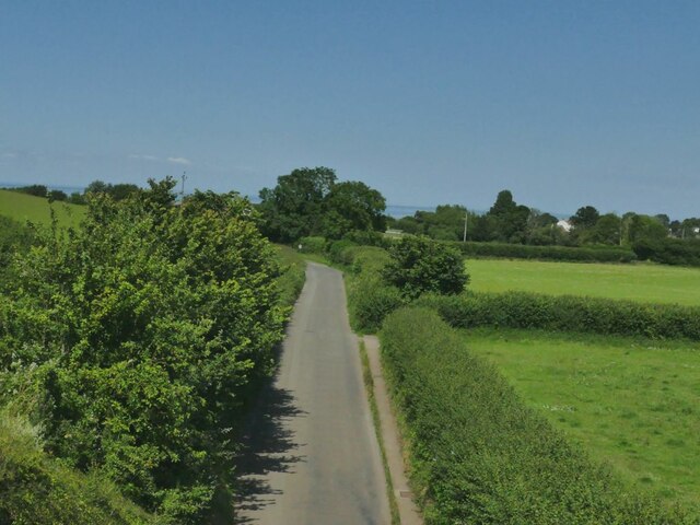
The forest is crisscrossed by a network of well-maintained trails, making it easily accessible for visitors of all abilities. These paths wind through the copse, allowing hikers to explore its various nooks and crannies. Along the way, there are several designated picnic spots and benches where visitors can rest and enjoy the tranquility of the surroundings.
Brice's Copse also holds historical significance, as it is believed to have been used as a hunting ground in medieval times. The remnants of old stone walls and ditches can still be seen, adding an air of mystery and intrigue to the wood.
Overall, Brice's Copse is a picturesque and peaceful woodland, offering a scenic escape from the hustle and bustle of everyday life. Whether it's a leisurely stroll or an immersive nature experience, this Somerset gem has something to offer for everyone.
If you have any feedback on the listing, please let us know in the comments section below.
Brice's Copse Images
Images are sourced within 2km of 51.177619/-3.297364 or Grid Reference ST0942. Thanks to Geograph Open Source API. All images are credited.


Brice's Copse is located at Grid Ref: ST0942 (Lat: 51.177619, Lng: -3.297364)
Administrative County: Somerset
District: Somerset West and Taunton
Police Authority: Avon and Somerset
What 3 Words
///sedative.debit.crucially. Near Williton, Somerset
Nearby Locations
Related Wikis

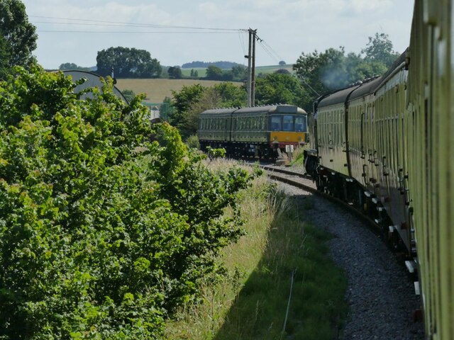
Doniford Halt railway station
Doniford Halt railway station, sometimes known as Doniford Beach Halt, is a request stop situated on the West Somerset Railway, a heritage railway in...

Williton railway station
Williton railway station in Williton, Somerset, England, was opened by the West Somerset Railway in 1862 and closed by British Rail in 1971. It was reopened...

Williton Rural District
Williton was a rural district in Somerset, England, from 1894 to 1974. It was created in 1894 under the Local Government Act 1894. In 1974 it was abolished...
Williton
Williton is a large village and civil parish in Somerset, England, at the junction of the A39, A358 and B3191 roads, on the coast 2 miles (3.2 km) south...

St Audries Park
St Audries Park Manor house at West Quantoxhead in the Quantock Hills of Somerset, England, was the manor house of the Acland family. It was rebuilt on...

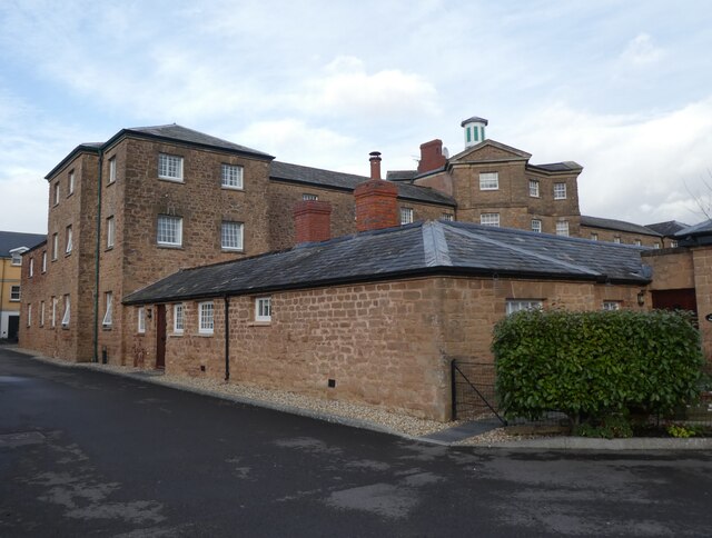
Watchet Boat Museum
Watchet Boat Museum is a small museum in Watchet, Somerset, England. It is housed in the 1862, Victorian, former railway goods shed of Watchet railway...
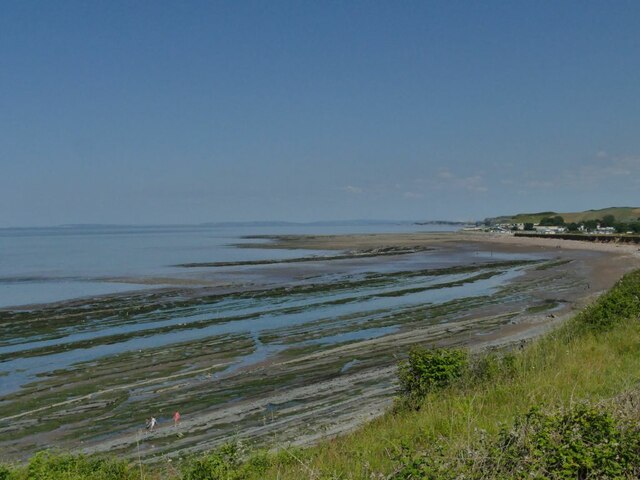
Watchet
Watchet is a harbour town, civil parish and electoral ward in the county of Somerset, England, with a population in 2011 of 3,785. It is situated 15 miles...
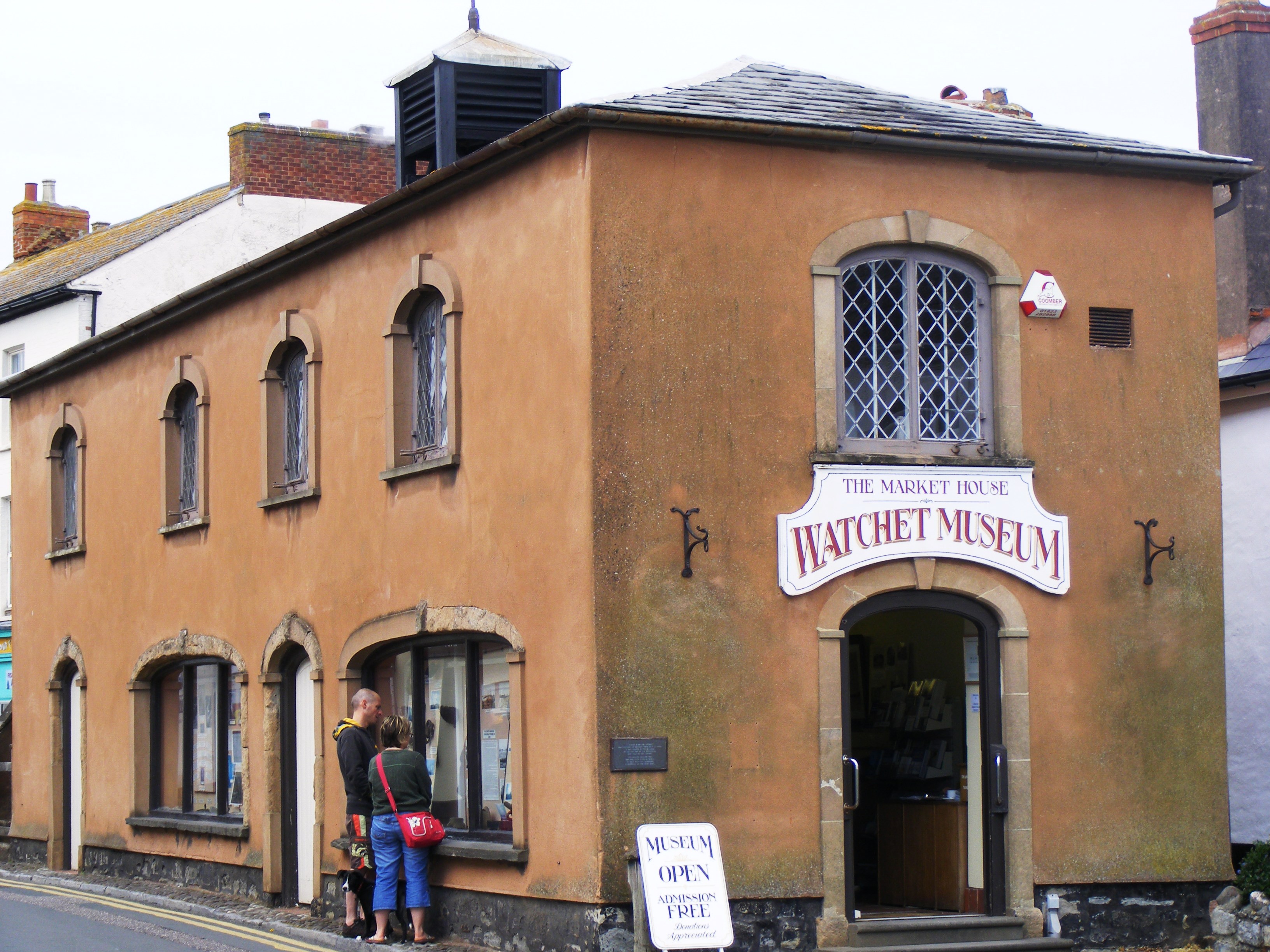
Market House Museum
The Market House Museum is a small museum in Watchet, Somerset, England. The building on Market Street was constructed in 1820 on the site of the previous...
Nearby Amenities
Located within 500m of 51.177619,-3.297364Have you been to Brice's Copse?
Leave your review of Brice's Copse below (or comments, questions and feedback).