Abercorn

Settlement in West Lothian

Scotland

Abercorn

Houses near Abercorn Church
Houses near Abercorn Church Credit: Mike Pennington

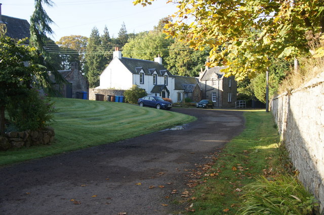
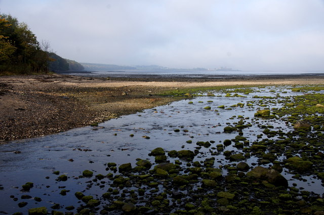
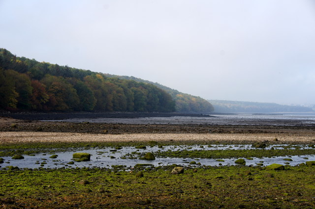
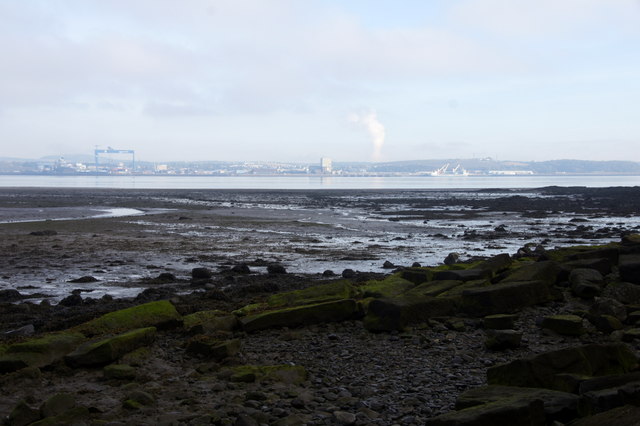
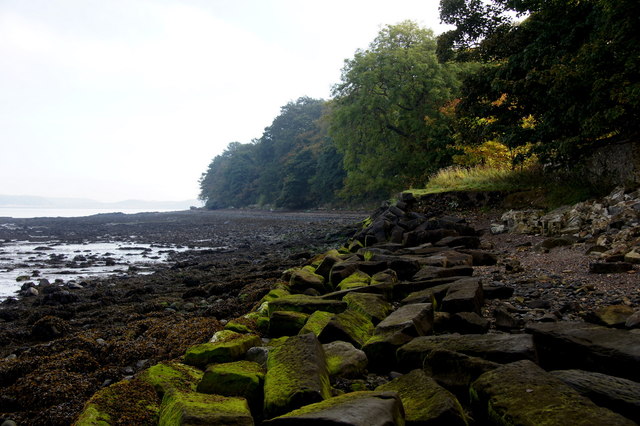
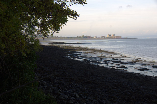
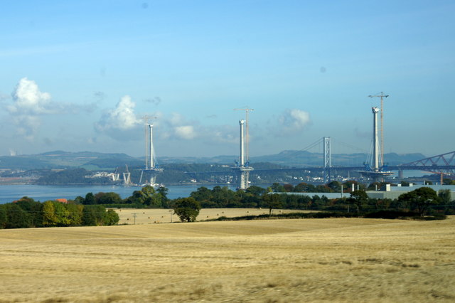
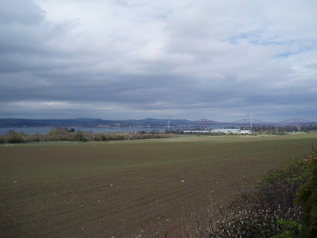
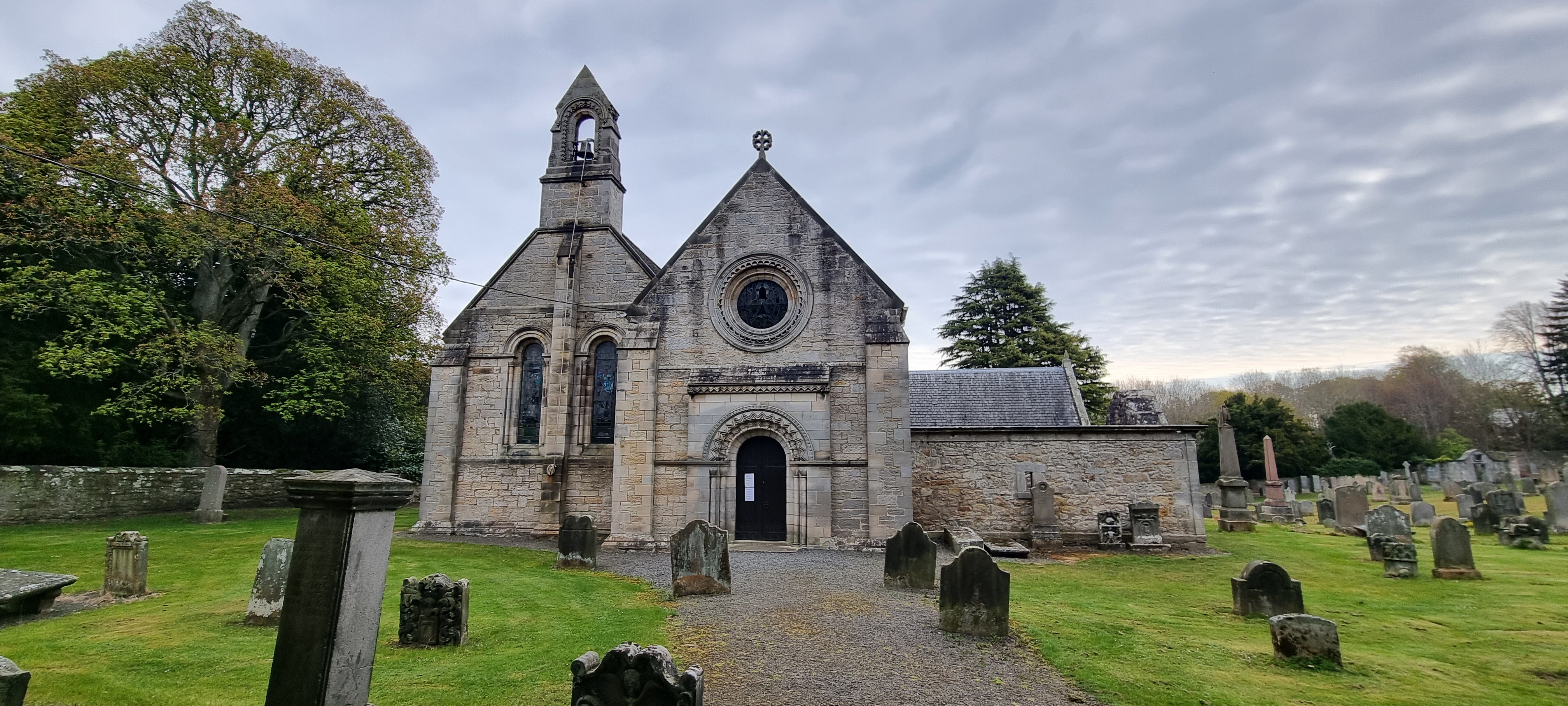
Abercorn is a small village located in West Lothian, Scotland. The village is situated along the River Forth and is surrounded by picturesque countryside, making it a peaceful and scenic location. Abercorn is known for its historic significance, with the remains of Abercorn Church dating back to the 12th century, as well as Abercorn Castle, a historic building that dates back to the 15th century.

The village is home to a small population of approximately 200 residents, who enjoy a close-knit community atmosphere. There are a few amenities in Abercorn, including a local pub and a village hall that hosts community events and activities.

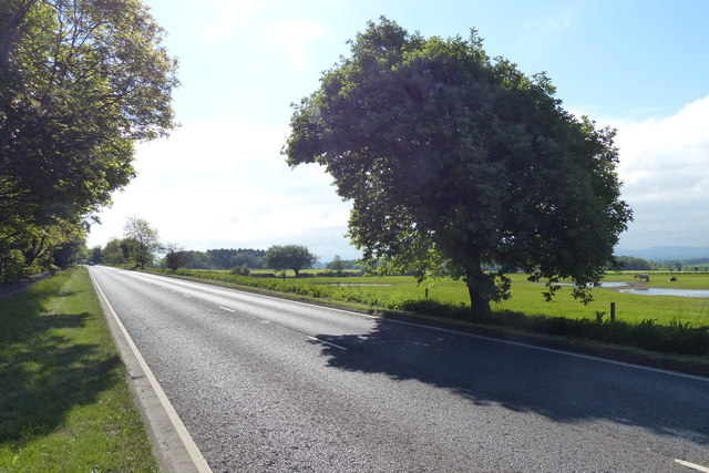
Abercorn is well-connected to nearby towns and cities, with easy access to the M9 motorway and the A904 road. The village is also served by public transportation, with regular bus services running through the area.

Overall, Abercorn is a charming village with a rich history and a tranquil setting, making it an ideal place for those seeking a peaceful and idyllic location to call home.

If you have any feedback on the listing, please let us know in the comments section below.
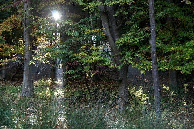
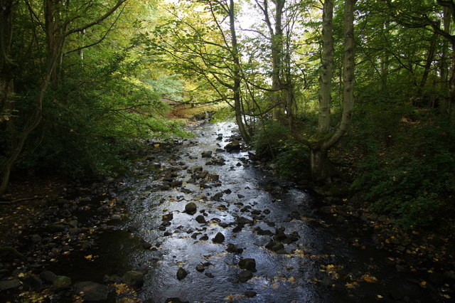
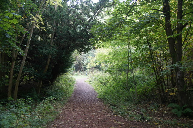
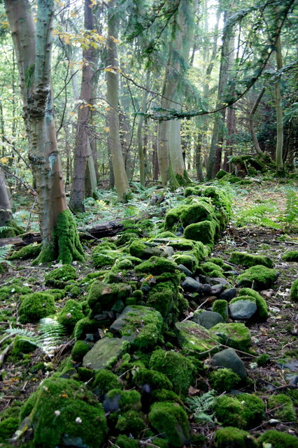
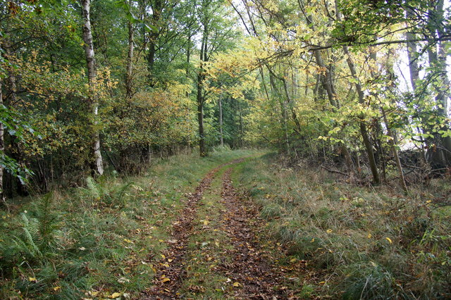
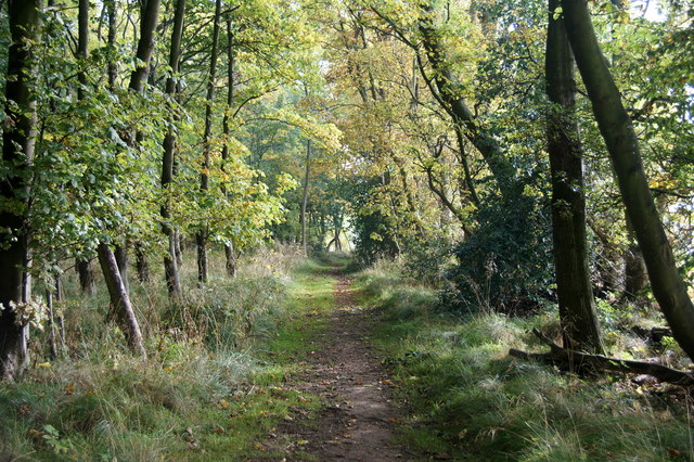
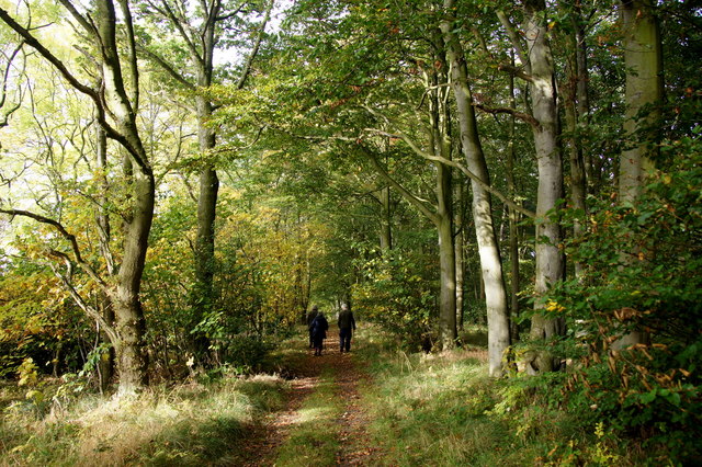
Abercorn Images

Images are sourced within 2km of 55.994195/-3.472827 or Grid Reference NT0878. Thanks to Geograph Open Source API. All images are credited.

Houses near Abercorn Church
Woodland beside Midhope Burn, Abercorn
Midhope Burn at Abercorn
John Muir Trail over the Nethermill Bridge at Abercorn
Midhope Burn flowing into the Firth of Forth at Abercorn In the distance is Blackness Castle.
Midhope Burn flowing into the Firth of Forth at Abercorn
In the distance is Blackness Castle.
Beach below Westershore Wood, Abercorn
Shore of the Firth of Forth at Abercorn Looking across to Rosyth.
Shore of the Firth of Forth at Abercorn
Looking across to Rosyth.
Coastline of the Firth of Forth at Abercorn Point
Old wall in woodland beside the Midhope Burn at Abercorn
Path in Westershore Wood between Abercorn and Blackness
Walking in Westershore Wood between Abercorn and Blackness
Shoreline below Westershore Wood, near Abercorn Looking towards Blackness Castle.
Shoreline below Westershore Wood, near Abercorn
Looking towards Blackness Castle.
View of the Forth Crossings from Newton The second roadbridge is now beginning to take shape.
View of the Forth Crossings from Newton
The second roadbridge is now beginning to take shape.
Farmland near Newton
Entrance to Hopetoun Farm Shop And next door is New Hopetoun Gardens Garden Centre - quite the best garden centre I have ever visited.  Yes, it has a decent tearoom and gift shop, but its huge range of plants available make it supreme and above all other such centres.  I speak as a happy customer and not as an owner!
Entrance to Hopetoun Farm Shop
And next door is New Hopetoun Gardens Garden Centre - quite the best garden centre I have ever visited. Yes, it has a decent tearoom and gift shop, but its huge range of plants available make it supreme and above all other such centres. I speak as a happy customer and not as an owner!
Road at Society Near the road end on the road along the south side of the Firth of Forth.
Road at Society
Near the road end on the road along the south side of the Firth of Forth.
A904 towards Queensferry
Show me another place!

Abercorn is located at Grid Ref: NT0878 (Lat: 55.994195, Lng: -3.472827)

Unitary Authority: West Lothian

Police Authority: The Lothians and Scottish Borders

What 3 Words

///fight.mugs.alike. Near Winchburgh, West Lothian

Related Wikis

Abercorn

Abercorn (Gaelic: Obar Chùirnidh, Old English: Æbbercurnig) is a village and civil parish in West Lothian, Scotland. Close to the south coast of the Firth...

Abercorn Castle

Abercorn Castle was a 12th-century castle near Abercorn in West Lothian, Scotland. == History == The castle was in the possession of William de Avenel...
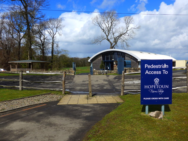
Hopetoun House

Hopetoun House is a country house near South Queensferry owned by the Hopetoun House Preservation Trust, a charity established in 1974 to preserve the...
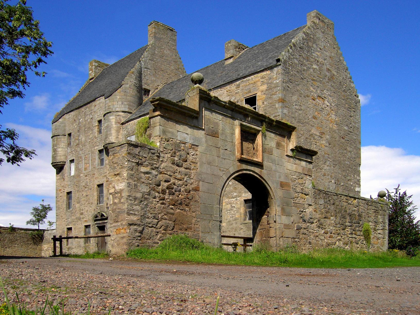
Midhope Castle

Midhope Castle is a 15th-century tower house in Scotland. It is situated in the hamlet of Abercorn on the Hopetoun estate, About 4 kilometres (2.5 mi)...

Nearby Amenities

Located within 500m of 55.994195,-3.472827
Disused Amenity: postbox
Lat/Long: 55.9949594/-3.4754156
Material: wood
Power: pole
Lat/Long: 55.9917632/-3.4689597
Material: wood
Power: pole
Lat/Long: 55.9918635/-3.4676408
Material: wood
Power: pole
Lat/Long: 55.9916569/-3.4703954
Material: wood
Power: pole
Lat/Long: 55.9918781/-3.473204
Material: wood
Power: pole
Lat/Long: 55.9915484/-3.4718249
Material: wood
Power: pole
Lat/Long: 55.9919733/-3.4661028
Material: wood
Power: pole
Lat/Long: 55.9927287/-3.4765193
Power: pole
Lat/Long: 55.9927602/-3.4681186
Power: pole
Lat/Long: 55.9936678/-3.4681856
Material: wood
Power: pole
Lat/Long: 55.9924707/-3.4786409
Power: pole
Lat/Long: 55.9932207/-3.4681642
Power: pole
Lat/Long: 55.991263/-3.4673488
Material: wood
Power: pole
Lat/Long: 55.9921752/-3.4743396
Power: pole
Lat/Long: 55.9922171/-3.4676814
Power: pole
Lat/Long: 55.9941898/-3.4682178
Material: wood
Power: pole
Lat/Long: 55.9924452/-3.475433
Material: wood
Power: pole
Lat/Long: 55.9929807/-3.4775493
Abercorn
Burgh: barony
Place: village
Wikidata: Q2188248
Wikipedia: en:Abercorn
Lat/Long: 55.9948844/-3.4750146
Ruined wall
Access: no
Historic: ruins
Lat/Long: 55.9972649/-3.4726533
Ford: yes
Lat/Long: 55.9969572/-3.47584
Power: pole
Lat/Long: 55.9939854/-3.4748279
Power: pole
Lat/Long: 55.9933494/-3.4746484
Power: pole
Lat/Long: 55.9927424/-3.4744815
Access: no
Barrier: kissing_gate
Locked: yes
Lat/Long: 55.997175/-3.4748447
The data included in this document is from www.openstreetmap.org. The data is made available under ODbL.

Have you been to Abercorn?

Leave your review of Abercorn below (or comments, questions and feedback).