Hall Wood

Wood, Forest in Cumberland Copeland

England

Hall Wood

Houses at High House
Houses at High House Credit: David Medcalf

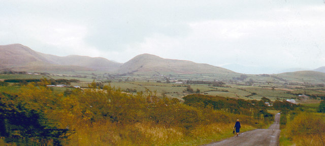
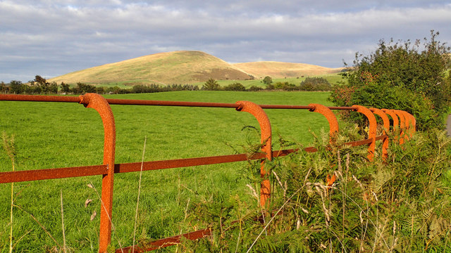
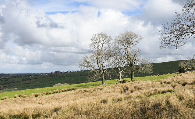
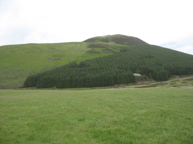
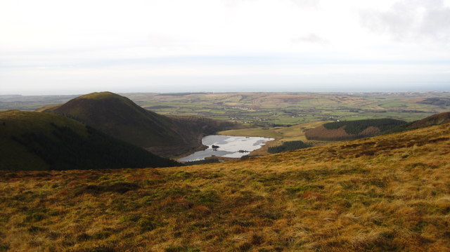
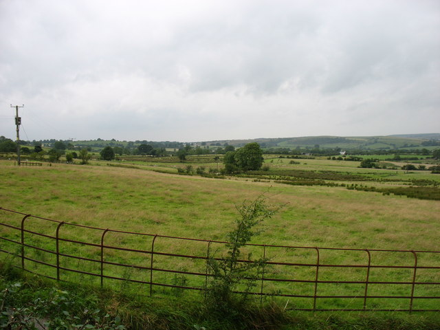
Hall Wood, located in Cumberland, England, is a picturesque forest renowned for its natural beauty and rich biodiversity. Spanning an area of approximately 500 acres, it is a significant woodland that has been preserved for generations. The forest is predominantly composed of ancient oak and beech trees, interspersed with a diverse array of other tree species, such as birch, ash, and hazel.

The forest floor is covered with a lush carpet of wildflowers, ferns, and mosses, creating a vibrant and enchanting atmosphere. Hall Wood is also home to a variety of wildlife, including deer, foxes, rabbits, and numerous bird species, providing a haven for nature enthusiasts and wildlife photographers alike.

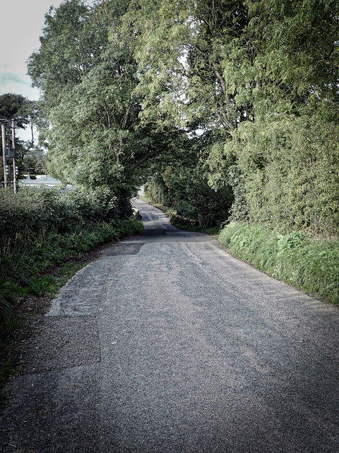
The woodland is crisscrossed by a network of walking trails, allowing visitors to explore its beauty at their own pace. These well-maintained paths wind through the forest, offering breathtaking views of the surrounding landscape and opportunities for peaceful contemplation. The serene atmosphere and the soothing sounds of nature make it an ideal location for those seeking solace and tranquility.

Hall Wood is not only a place of natural beauty but also of historical significance. It has been used as a source of timber for centuries, and remnants of old saw pits and charcoal hearths can still be found within the forest. This blend of natural wonders and historical remnants makes Hall Wood a truly captivating destination for nature lovers, history buffs, and anyone seeking a peaceful retreat in the heart of Cumberland.

If you have any feedback on the listing, please let us know in the comments section below.
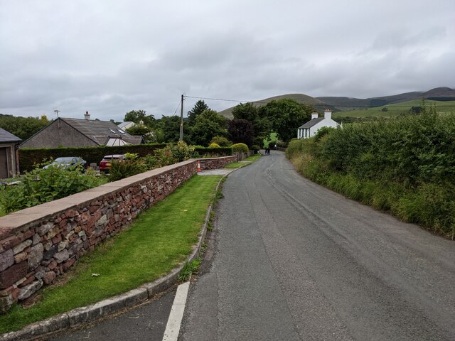
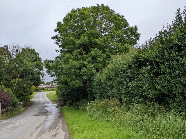
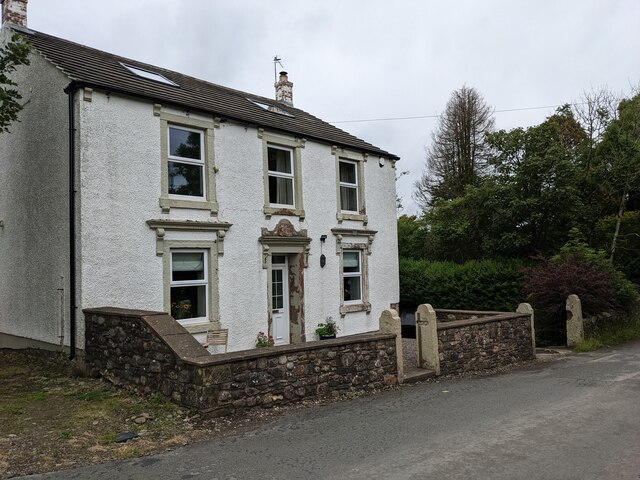
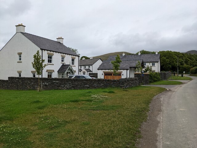
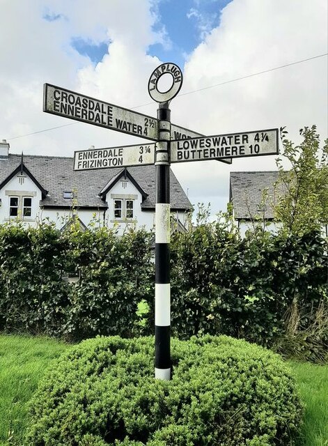
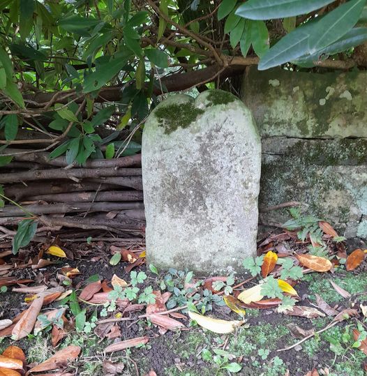
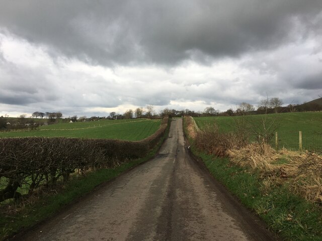
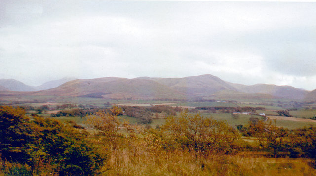
Hall Wood Images

Images are sourced within 2km of 54.573024/-3.4102212 or Grid Reference NY0820. Thanks to Geograph Open Source API. All images are credited.

Houses at High House
The road near High Millgillhead
A house at High Millgillhead
Houses at Fitz Bridge
Direction Sign – Signpost at Fitz Bridge, Lamplugh Located on the west side of the road in front of new houses at Fitz Bridge in Lamplugh parish. 4 arms and annulus finial.

Milestone Society National ID: CU_NY0820
Direction Sign – Signpost at Fitz Bridge, Lamplugh
Located on the west side of the road in front of new houses at Fitz Bridge in Lamplugh parish. 4 arms and annulus finial. Milestone Society National ID: CU_NY0820
Old Boundary Marker on Crossgates Bridge Township Boundary Marker at the north end of the east parapet of Crossgates Bridge. On the former boundary of Murton and Lamplugh townships but now entirely in Lamplugh parish.

Milestone Society National ID: CU_LAMP07pb
Old Boundary Marker on Crossgates Bridge
Township Boundary Marker at the north end of the east parapet of Crossgates Bridge. On the former boundary of Murton and Lamplugh townships but now entirely in Lamplugh parish. Milestone Society National ID: CU_LAMP07pb
Minor road near Lamplugh
Minor road near Crossgates
Loweswater Fells, from Lamplugh, 1966 View ENE from by Lamplugh Hall, to Blake Fell (highest at 1,880 ft.).
Loweswater Fells, from Lamplugh, 1966
View ENE from by Lamplugh Hall, to Blake Fell (highest at 1,880 ft.).
Lamplugh Fells from near Lamplugh, 1966 View SSE near Dockray Nook to Blake Fell (1,880 ft.) on left, Murton Fell (1,463 ft.) in centre; Cogra Moss is just visible.
Lamplugh Fells from near Lamplugh, 1966
View SSE near Dockray Nook to Blake Fell (1,880 ft.) on left, Murton Fell (1,463 ft.) in centre; Cogra Moss is just visible.
Approaching Stegcroft Bridge
Iron fencing near Felldyke
War memorial at Lamplugh The small settlement at Lamplugh is at the western edge of the Lake District National Park. Much of the village lies just within the park boundary; its church, St. Michael's, lies outside.
The war memorial stands at the west end of the church; it has clearly been cleaned since Matthew Hatton photographed it in May 2014 - <a title="https://www.geograph.org.uk/photo/4019954" href="https://www.geograph.org.uk/photo/4019954">Link</a>.
War memorial at Lamplugh
The small settlement at Lamplugh is at the western edge of the Lake District National Park. Much of the village lies just within the park boundary; its church, St. Michael's, lies outside. The war memorial stands at the west end of the church; it has clearly been cleaned since Matthew Hatton photographed it in May 2014 - Link.
Trees and rushes in field The field is below a minor road on the north-western slope of Oswen Fell.
Trees and rushes in field
The field is below a minor road on the north-western slope of Oswen Fell.
Murton Fell from Kelton Fell
Cogra Moss from Blake Fell
Fields at Felldyke
Fields at Felldyke
A field near Scallow Beck
Show me another place!

Hall Wood is located at Grid Ref: NY0820 (Lat: 54.573024, Lng: -3.4102212)

Administrative County: Cumbria

District: Copeland

Police Authority: Cumbria

What 3 Words

///shark.sourcing.carefully. Near Frizington, Cumbria

Related Wikis

St Michael, Lamplugh

St Michael is in Lamplugh, Cumbria, England. It is an active Anglican parish church in the deanery of Calder, and the diocese of Carlisle. Its benefice...

Lamplugh

Lamplugh () is a scattered community and civil parish located in West Cumbria on the edge of the English Lake District and historically part of Cumberland...

Cogra Moss

Cogra Moss is a shallow reservoir to the east of the village of Lamplugh on the western edge of the English Lake District. It was created by the damming...

Crossgates, Cumbria

Crossgates is a hamlet in Cumbria, England. It is located just to the northeast of Asby. == References ==

Nearby Amenities

Located within 500m of 54.573024,-3.4102212
Lamplugh
Place: village
Source: npe
Wikidata: Q2418267
Wikipedia: en:Lamplugh
Lat/Long: 54.5749046/-3.409506
Post Box
Ref: CA14 29
Lat/Long: 54.5762133/-3.4104814
Bench
Lat/Long: 54.5743466/-3.4108812
Waste Basket
Lat/Long: 54.5743372/-3.4108873
Howgill Wood
Place: locality
Lat/Long: 54.5727207/-3.4053393
Ford: yes
Lat/Long: 54.5735993/-3.4073982
Barrier: stile
Lat/Long: 54.5737438/-3.4071863
Barrier: water_gate
Lat/Long: 54.5735755/-3.4073272
Power: pole
Lat/Long: 54.5733563/-3.4120205
Power: pole
Lat/Long: 54.5739669/-3.4123527
Power: pole
Lat/Long: 54.5747559/-3.4128024
Power: pole
Lat/Long: 54.5756483/-3.4132906
Power: pole
Lat/Long: 54.5757716/-3.4147369
Power: pole
Lat/Long: 54.5754733/-3.4113054
Power: pole
Lat/Long: 54.5772779/-3.4110097
The data included in this document is from www.openstreetmap.org. The data is made available under ODbL.

Have you been to Hall Wood?

Leave your review of Hall Wood below (or comments, questions and feedback).