Fitz Wood

Wood, Forest in Cumberland Copeland

England

Fitz Wood

Houses at High House
Houses at High House Credit: David Medcalf

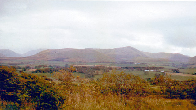
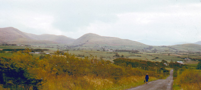
Fitz Wood, located in Cumberland, is a picturesque forest known for its natural beauty and rich biodiversity. Spanning over a vast area, this woodland is a popular destination for nature enthusiasts and outdoor adventurers alike. The forest is named after the prominent Fitz family, who historically owned the land.

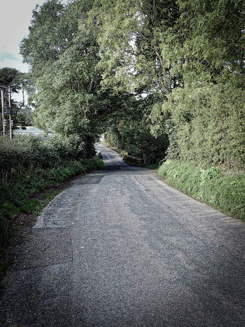
Covered in a dense canopy of trees, Fitz Wood is primarily composed of deciduous species such as oak, beech, and birch. The towering trees create a serene and peaceful atmosphere, providing a habitat for a wide range of flora and fauna. The forest floor is adorned with a carpet of wildflowers and ferns, adding to its enchanting charm.

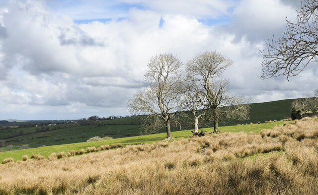
Walking trails wind their way through Fitz Wood, allowing visitors to explore its hidden gems. These trails vary in difficulty, catering to both casual strollers and experienced hikers. Along the paths, one can spot various wildlife species, including deer, foxes, and a variety of bird species. The forest is also home to several rare and protected species, making it an important conservation area.

In addition to its natural beauty, Fitz Wood offers recreational activities for visitors to enjoy. There are designated picnic areas where families can gather for a meal amidst the tranquil surroundings. Moreover, the forest is a favored spot for birdwatching, photography, and nature study.

Overall, Fitz Wood in Cumberland is a stunning woodland that offers a serene escape from the hustle and bustle of daily life. With its diverse flora and fauna, enchanting trails, and recreational opportunities, it is a must-visit destination for nature lovers and those seeking tranquility in the heart of nature.

If you have any feedback on the listing, please let us know in the comments section below.
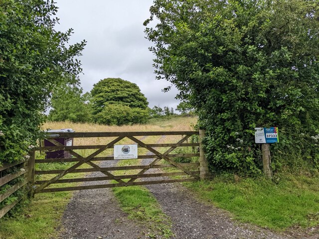
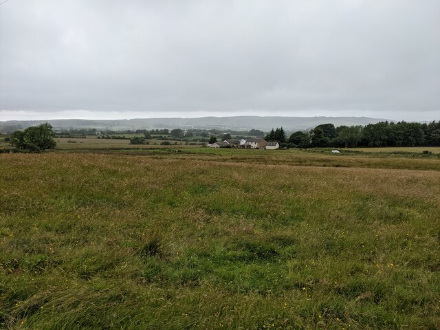
Fitz Wood Images

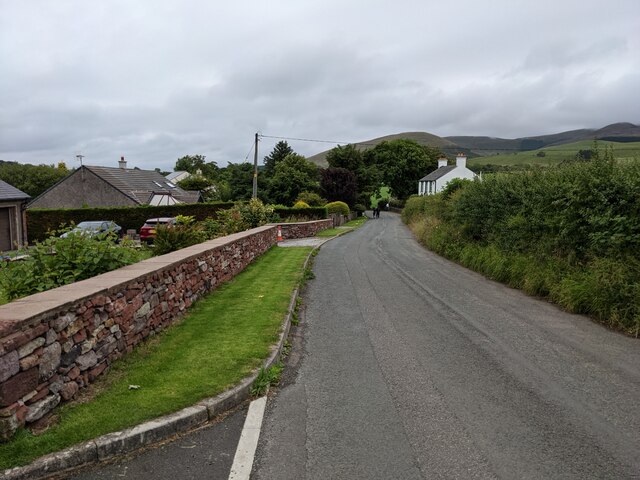
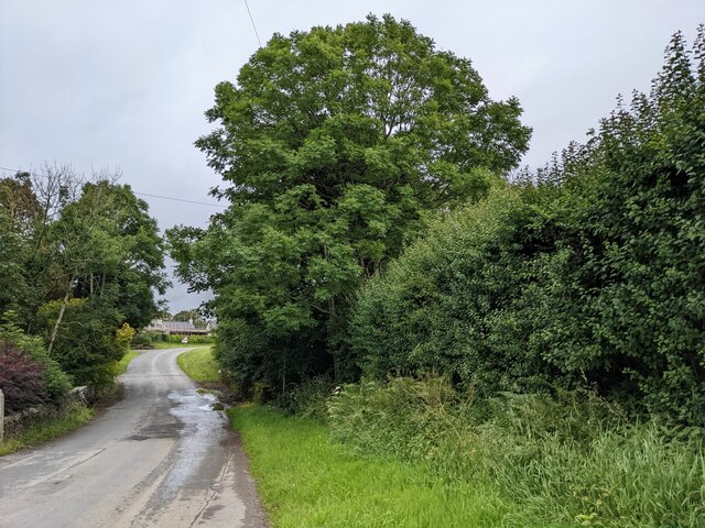
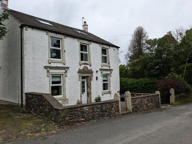
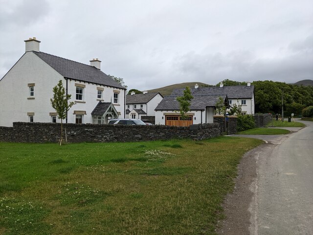
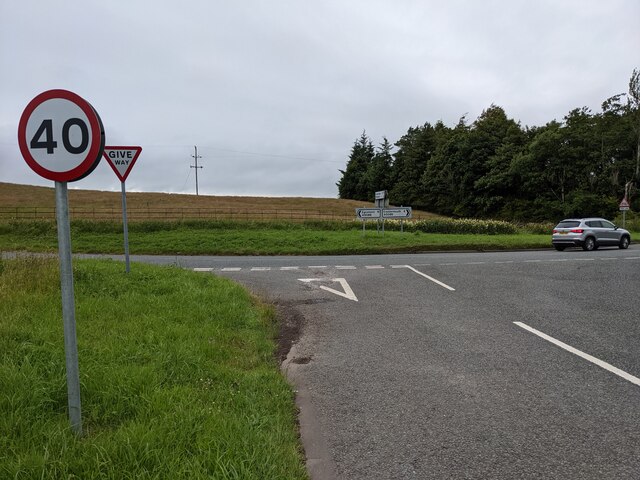
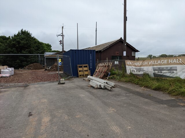
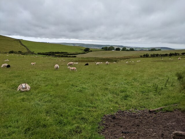
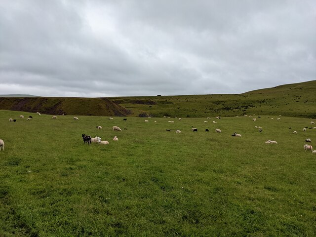
Images are sourced within 2km of 54.571663/-3.4167332 or Grid Reference NY0820. Thanks to Geograph Open Source API. All images are credited.

Houses at High House
The road near High Millgillhead
A house at High Millgillhead
Houses at Fitz Bridge
Direction Sign – Signpost at Fitz Bridge, Lamplugh Located on the west side of the road in front of new houses at Fitz Bridge in Lamplugh parish. 4 arms and annulus finial.

Milestone Society National ID: CU_NY0820
Direction Sign – Signpost at Fitz Bridge, Lamplugh
Located on the west side of the road in front of new houses at Fitz Bridge in Lamplugh parish. 4 arms and annulus finial. Milestone Society National ID: CU_NY0820
Old Boundary Marker on Crossgates Bridge Township Boundary Marker at the north end of the east parapet of Crossgates Bridge. On the former boundary of Murton and Lamplugh townships but now entirely in Lamplugh parish.

Milestone Society National ID: CU_LAMP07pb
Old Boundary Marker on Crossgates Bridge
Township Boundary Marker at the north end of the east parapet of Crossgates Bridge. On the former boundary of Murton and Lamplugh townships but now entirely in Lamplugh parish. Milestone Society National ID: CU_LAMP07pb
Loweswater Fells, from Lamplugh, 1966 View ENE from by Lamplugh Hall, to Blake Fell (highest at 1,880 ft.).
Loweswater Fells, from Lamplugh, 1966
View ENE from by Lamplugh Hall, to Blake Fell (highest at 1,880 ft.).
Lamplugh Fells from near Lamplugh, 1966 View SSE near Dockray Nook to Blake Fell (1,880 ft.) on left, Murton Fell (1,463 ft.) in centre; Cogra Moss is just visible.
Lamplugh Fells from near Lamplugh, 1966
View SSE near Dockray Nook to Blake Fell (1,880 ft.) on left, Murton Fell (1,463 ft.) in centre; Cogra Moss is just visible.
Approaching Stegcroft Bridge
Iron fencing near Felldyke
War memorial at Lamplugh The small settlement at Lamplugh is at the western edge of the Lake District National Park. Much of the village lies just within the park boundary; its church, St. Michael's, lies outside.
The war memorial stands at the west end of the church; it has clearly been cleaned since Matthew Hatton photographed it in May 2014 - <a title="https://www.geograph.org.uk/photo/4019954" href="https://www.geograph.org.uk/photo/4019954">Link</a>.
War memorial at Lamplugh
The small settlement at Lamplugh is at the western edge of the Lake District National Park. Much of the village lies just within the park boundary; its church, St. Michael's, lies outside. The war memorial stands at the west end of the church; it has clearly been cleaned since Matthew Hatton photographed it in May 2014 - Link.
Trees and rushes in field The field is below a minor road on the north-western slope of Oswen Fell.
Trees and rushes in field
The field is below a minor road on the north-western slope of Oswen Fell.
Junction with the A5086
The new Lamplugh Village Hall Work in progress!
The new Lamplugh Village Hall
Work in progress!
Fields near Smaithwaite Farm
Fields by Smaithwaite Beck Looking towards the old mine tips.
Fields by Smaithwaite Beck
Looking towards the old mine tips.
The gate to Felldyke Bunkhouse
Looking across the field to High Trees
Show me another place!

Fitz Wood is located at Grid Ref: NY0820 (Lat: 54.571663, Lng: -3.4167332)

Administrative County: Cumbria

District: Copeland

Police Authority: Cumbria

What 3 Words

///cashier.maple.ombudsman. Near Frizington, Cumbria

Related Wikis

St Michael, Lamplugh

St Michael is in Lamplugh, Cumbria, England. It is an active Anglican parish church in the deanery of Calder, and the diocese of Carlisle. Its benefice...
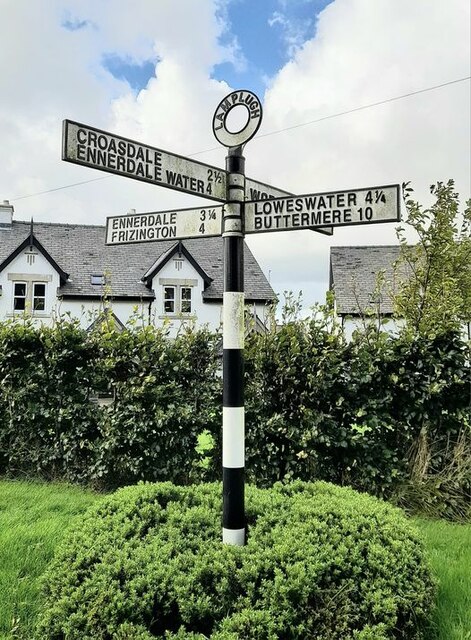
Lamplugh

Lamplugh () is a scattered community and civil parish located in West Cumbria on the edge of the English Lake District and historically part of Cumberland...

Crossgates, Cumbria

Crossgates is a hamlet in Cumbria, England. It is located just to the northeast of Asby. == References ==

Cogra Moss

Cogra Moss is a shallow reservoir to the east of the village of Lamplugh on the western edge of the English Lake District. It was created by the damming...

Nearby Amenities

Located within 500m of 54.571663,-3.4167332
Fitz Bridge (E bound)
Naptan AtcoCode: 090002123767
Naptan Bearing: E
Naptan BusStopType: CUS
Naptan CommonName: Fitz Bridge (E bound)
Naptan Indicator: near
Naptan Landmark: Lamplugh Hall
Naptan NaptanCode: cumadgjm
Naptan Notes: Stop moved to fit bus route
Naptan Street: No name
Naptan Verified: no
Source: naptan_import
Lat/Long: 54.571974/-3.4179308
Fitz Bridge (W bound)
Naptan AtcoCode: 090050120066
Naptan Bearing: W
Naptan BusStopType: CUS
Naptan CommonName: Fitz Bridge (W bound)
Naptan Indicator: near
Naptan Landmark: St Michaels church
Naptan NaptanCode: cumatwjm
Naptan Street: No name
Naptan Verified: no
Source: naptan_import
Lat/Long: 54.5717699/-3.4177071
Post Box
Ref: CA14 37
Lat/Long: 54.5709024/-3.4186992
Bench
Lat/Long: 54.5743466/-3.4108812
Waste Basket
Lat/Long: 54.5743372/-3.4108873
Dockray Nook
Place: locality
Lat/Long: 54.568458/-3.4115719
Dockray Meadow
Place: locality
Lat/Long: 54.5684363/-3.4156179
Power: pole
Lat/Long: 54.5724616/-3.4242696
Power: pole
Lat/Long: 54.5719943/-3.4233662
Power: pole
Lat/Long: 54.5715128/-3.4225134
Power: pole
Lat/Long: 54.571022/-3.4216221
Power: pole
Lat/Long: 54.5707484/-3.41988
Power: pole
Lat/Long: 54.5704254/-3.4189806
Power: pole
Lat/Long: 54.5733563/-3.4120205
Power: pole
Lat/Long: 54.5739669/-3.4123527
Power: pole
Lat/Long: 54.5747559/-3.4128024
Power: pole
Lat/Long: 54.5756483/-3.4132906
Power: pole
Lat/Long: 54.5731673/-3.4226916
Power: pole
Lat/Long: 54.5737767/-3.4212737
Power: pole
Lat/Long: 54.5744436/-3.4197139
Power: pole
Lat/Long: 54.5749332/-3.4185836
Power: pole
Lat/Long: 54.5754369/-3.4174735
Power: pole
Lat/Long: 54.5759101/-3.4163655
Power: pole
Lat/Long: 54.5757716/-3.4147369
The data included in this document is from www.openstreetmap.org. The data is made available under ODbL.

Have you been to Fitz Wood?

Leave your review of Fitz Wood below (or comments, questions and feedback).