Conygore Wood
Wood, Forest in Somerset Somerset West and Taunton
England
Conygore Wood
Conygore Wood is a charming woodland area located in Somerset, England. Stretching across an area of approximately 100 acres, this forest is a haven for nature enthusiasts and outdoor adventurers alike. The wood is situated near the small village of Conygore, adding to its tranquil and peaceful atmosphere.
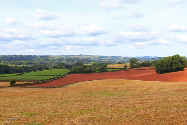
The woodland is primarily composed of a mixture of deciduous and coniferous trees, including oak, beech, and pine. The diverse range of tree species creates a vibrant and picturesque landscape throughout the year, with colorful foliage in the autumn and lush greenery during the spring and summer months.
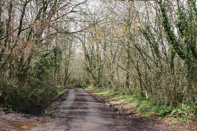
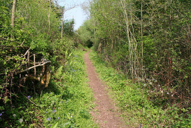
Conygore Wood offers a range of recreational activities for visitors to enjoy. There are several well-maintained walking trails, meandering through the forest and providing an opportunity to explore the natural beauty of the area. The trails are suitable for all levels of fitness and offer stunning views of the surrounding countryside.
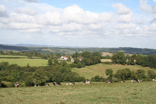
Wildlife is abundant in Conygore Wood, making it a popular spot for birdwatching and nature photography. Visitors may catch a glimpse of various bird species, including woodpeckers, owls, and buzzards. Additionally, the forest is home to deer, rabbits, and other small mammals, adding to the biodiversity of the area.
The wood is easily accessible, with ample parking available for those arriving by car. There are also picnic areas and benches scattered throughout the woodland, providing a perfect spot to pause and enjoy a packed lunch amidst nature's beauty.
Overall, Conygore Wood is a delightful destination for those seeking a peaceful retreat in the heart of Somerset's countryside.
If you have any feedback on the listing, please let us know in the comments section below.
Conygore Wood Images
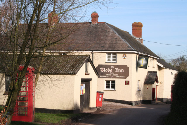
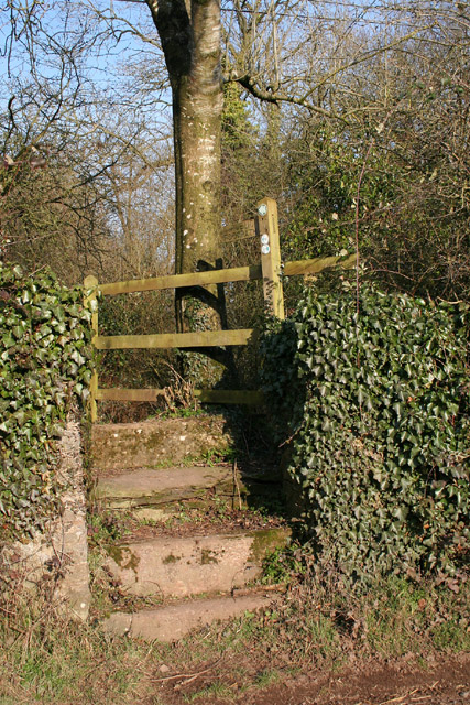
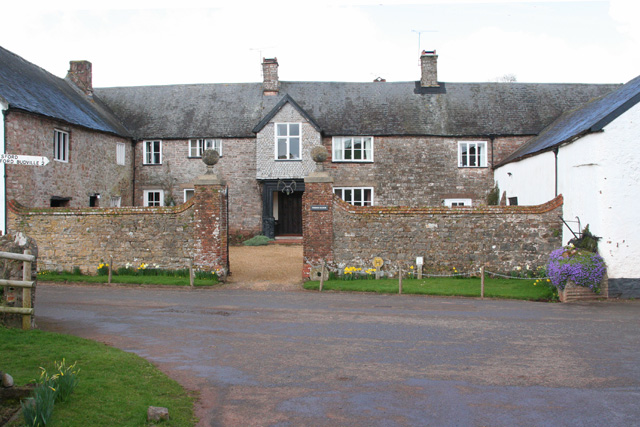
Images are sourced within 2km of 50.971705/-3.3080103 or Grid Reference ST0819. Thanks to Geograph Open Source API. All images are credited.


Conygore Wood is located at Grid Ref: ST0819 (Lat: 50.971705, Lng: -3.3080103)
Administrative County: Somerset
District: Somerset West and Taunton
Police Authority: Avon and Somerset
What 3 Words
///shoppers.lessening.piston. Near Milverton, Somerset
Nearby Locations
Related Wikis
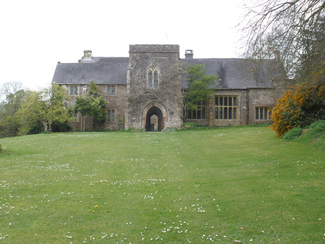
Greenham Barton
Greenham Barton is a 13th-century manor house in the civil parish of Stawley, Somerset, England (at Greenham, west of Wellington in Somerset). Built in...

Greenham Hall
Greenham Hall is a country house at Wellington in Somerset. It was once the home of Admiral of the Fleet Sir John Kelly. It is a Grade II listed building...

Cothay Manor
Cothay Manor is a grade one listed medieval house and gardens, in Stawley, near Wellington, Somerset. The manor grounds consist of almost 40 acres and...

Thorne St Margaret
Thorne St Margaret is a village in the civil parish of Wellington Without in the Taunton Deane district of Somerset, England. It is situated 3 miles west...

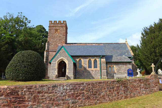
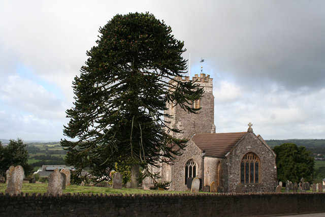
Church of St Margaret, Thorne St Margaret
The Anglican Church of St Margaret in Thorne St Margaret, Somerset, England was built in the 15th century. It is a Grade II* listed building. == History... ==

Wellington Bank, Somerset
Wellington Bank is a steep railway embankment and associated climb located on the Bristol to Exeter line, that climbs from just northeast of Wellington...

Church of St Nicholas, Kittisford
The Anglican Church of St Nicholas in Kittisford, Somerset, England was built around 1500. It is a Grade II* listed building. == History == The church...
Burlescombe
Burlescombe (, bur-LES-kəm) is a village and civil parish in the Mid Devon district of Devon, England. The parish is surrounded, clockwise from the north...
Nearby Amenities
Located within 500m of 50.971705,-3.3080103Have you been to Conygore Wood?
Leave your review of Conygore Wood below (or comments, questions and feedback).