Lower Copse

Wood, Forest in Somerset Somerset West and Taunton

England

Lower Copse

Greenham Village Houses in Greenham.
Greenham Village Credit: Wayland Smith

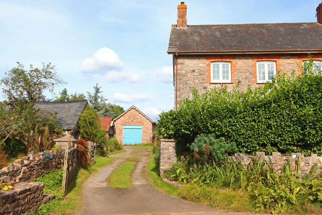
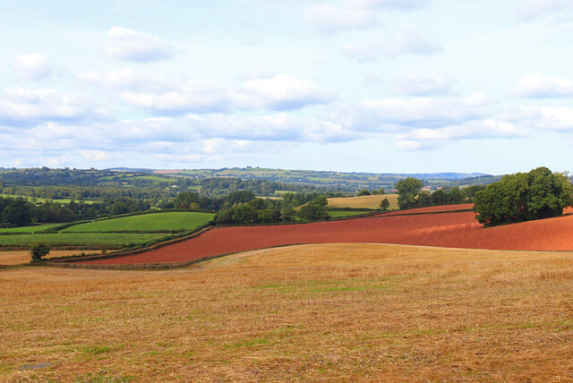
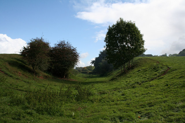
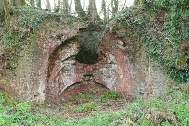
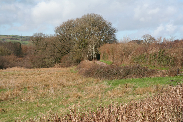
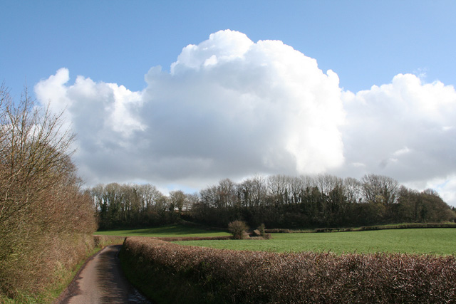
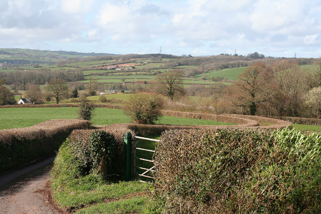
Lower Copse is a serene woodland located in the county of Somerset, England. Spanning over an area of approximately 100 acres, it is situated in the southwestern part of the county, near the village of Copsecombe. The wood is characterized by its diverse range of tree species, including oak, beech, ash, and birch, which create a picturesque and vibrant landscape.

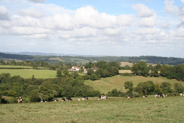
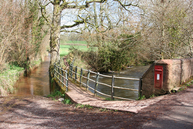
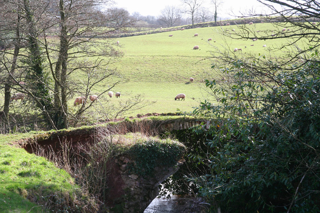
The woodland is known for its rich biodiversity, providing a habitat for various wildlife species. Visitors to Lower Copse may catch glimpses of native animals such as deer, badgers, foxes, and a wide array of bird species. The tranquility of the forest is enhanced by the gentle sound of birdsong and the rustling of leaves underfoot.

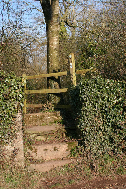
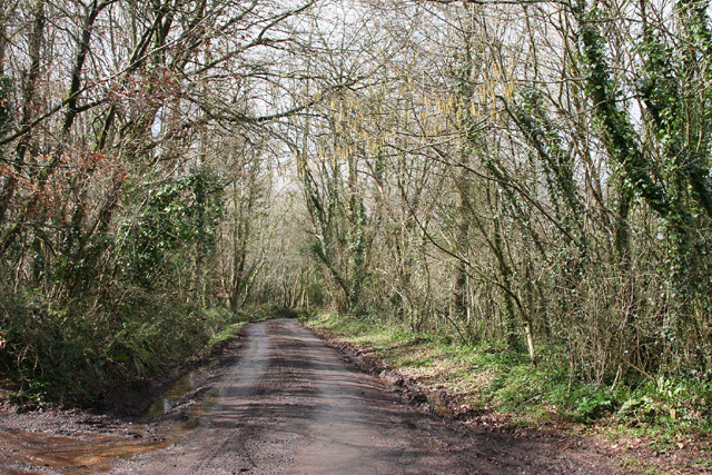
The wood is traversed by a network of well-maintained footpaths, offering visitors the opportunity to explore and immerse themselves in the natural beauty of the area. The paths wind through the dense foliage, leading to hidden clearings and secluded spots, perfect for picnics or moments of quiet contemplation.

Lower Copse is a popular destination for nature enthusiasts and walkers seeking a peaceful retreat away from the hustle and bustle of daily life. The wood's proximity to Copsecombe village makes it easily accessible, and there are ample parking facilities nearby.

In summary, Lower Copse is a picturesque woodland in Somerset, offering visitors an escape into nature through its diverse range of tree species, rich wildlife, and serene atmosphere. It is a haven for those seeking tranquility and a connection with the natural world.

If you have any feedback on the listing, please let us know in the comments section below.

Lower Copse Images

Images are sourced within 2km of 50.989862/-3.3151321 or Grid Reference ST0721. Thanks to Geograph Open Source API. All images are credited.
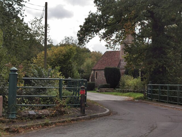
Greenham Village Houses in Greenham.
Greenham Village
Houses in Greenham.
View across fields View from Fishers Hill.
View across fields
View from Fishers Hill.
Greenham : Bishop's Hill Looking along Bishop's Hill in Greenham.
Greenham : Bishop's Hill
Looking along Bishop's Hill in Greenham.
Holcombe Rogus: east to Bishop's Barton Bishop's Barton is in the parish of Stawley, across the river Tone
Holcombe Rogus: east to Bishop's Barton
Bishop's Barton is in the parish of Stawley, across the river Tone
Stawley: Cothay Manor The manor gardens are open on Wednesdays, Thursdays and Sundays from April through to September. Also on bank holidays. Admission in 2005 – £4: no dogs. The manor house dates from the late 15th century
Stawley: Cothay Manor
The manor gardens are open on Wednesdays, Thursdays and Sundays from April through to September. Also on bank holidays. Admission in 2005 – £4: no dogs. The manor house dates from the late 15th century
Langford Budville: Grand Western Canal at Higher Wellisford Here the canal ran in cutting, above and to the south of the river Tone. It was active from 1838 to 1867. A footpath now runs its course. Looking east
Langford Budville: Grand Western Canal at Higher Wellisford
Here the canal ran in cutting, above and to the south of the river Tone. It was active from 1838 to 1867. A footpath now runs its course. Looking east
Stawley: barns at Kittisford Barton On the lane known as Cockland Hill
Stawley: barns at Kittisford Barton
On the lane known as Cockland Hill
Stawley: The Globe In the hamlet of Appley, this public house has a good reputation for food. Looking north
Stawley: The Globe
In the hamlet of Appley, this public house has a good reputation for food. Looking north
Stawley: St Michael’s Church Robin Bush, who wrote ‘Somerset, The Complete Guide’ [The Dovecote Press, 1994], regards Stawley church as one of his favourites. It stands somewhat remote above the valley of the river Tone. Looking north
Stawley: St Michael’s Church
Robin Bush, who wrote ‘Somerset, The Complete Guide’ [The Dovecote Press, 1994], regards Stawley church as one of his favourites. It stands somewhat remote above the valley of the river Tone. Looking north
Stawley: footpath at Greenham The old towpath of the Grand Western Canal – not restored on this section – has now become a public footpath. Here it heads north east towards Cothay Manor
Stawley: footpath at Greenham
The old towpath of the Grand Western Canal – not restored on this section – has now become a public footpath. Here it heads north east towards Cothay Manor
Thorne St Margaret: lane through Piley Copse Looking north west. Small ponds by the lane have recently been cleared of surrounding trees
Thorne St Margaret: lane through Piley Copse
Looking north west. Small ponds by the lane have recently been cleared of surrounding trees
Stawley: by Lutley Bridge On the left of this shot is a long ford: it leads to Poleshill, and brings water from Bathealton. In the centre a footbridge also leads to Poleshill and to the right is a post box built into the parapet of Lutley Bridge. The Tone, on the right, having run north from Greenham, swings sharply here to run south east towards Wellisford and Harpford Bridge. Looking east
Stawley: by Lutley Bridge
On the left of this shot is a long ford: it leads to Poleshill, and brings water from Bathealton. In the centre a footbridge also leads to Poleshill and to the right is a post box built into the parapet of Lutley Bridge. The Tone, on the right, having run north from Greenham, swings sharply here to run south east towards Wellisford and Harpford Bridge. Looking east
Langford Budville: old bridge at Lower Wellisford Part of the arch survives on what was presumably an old crossing of the River Tone. Looking south from a point a little to the east of Wellisford Manor
Langford Budville: old bridge at Lower Wellisford
Part of the arch survives on what was presumably an old crossing of the River Tone. Looking south from a point a little to the east of Wellisford Manor
Thorne St Margaret: limekiln near Piley Copse On the edge of a field with access permitted under DEFRA’s farm conservation scheme – until September 2011. Looking south west
Thorne St Margaret: limekiln near Piley Copse
On the edge of a field with access permitted under DEFRA’s farm conservation scheme – until September 2011. Looking south west
Stawley: Tone valley near Kittisford Mill North of Cothay Manor: the Tone flows north towards Lutley Bridge where it turns sharply to the south east
Stawley: Tone valley near Kittisford Mill
North of Cothay Manor: the Tone flows north towards Lutley Bridge where it turns sharply to the south east
Stawley: house at Kittisford Mill This was in all probability the mill proprietor’s house at one time. Looking north west. Only a remnant of the mill remains, out of shot, to the left. It was powered by a leat from a weir on the river Tone
Stawley: house at Kittisford Mill
This was in all probability the mill proprietor’s house at one time. Looking north west. Only a remnant of the mill remains, out of shot, to the left. It was powered by a leat from a weir on the river Tone
Thorne St Margaret: lane from Wellisford Looking south east
Thorne St Margaret: lane from Wellisford
Looking south east
Langford Budville: view north to Wellisford and Poleshill Seen from the lane to Thorne St Margaret
Langford Budville: view north to Wellisford and Poleshill
Seen from the lane to Thorne St Margaret
Show me another place!

Lower Copse is located at Grid Ref: ST0721 (Lat: 50.989862, Lng: -3.3151321)

Administrative County: Somerset

District: Somerset West and Taunton

Police Authority: Avon and Somerset

What 3 Words

///skim.masking.proceeds. Near Wiveliscombe, Somerset

Related Wikis

Church of St Nicholas, Kittisford

The Anglican Church of St Nicholas in Kittisford, Somerset, England was built around 1500. It is a Grade II* listed building. == History == The church...

Kittisford

Kittisford is a village and former civil parish and manor, now in the parish of Stawley in the Somerset district, in the ceremonial county of Somerset...
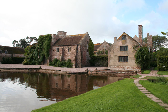
Cothay Manor

Cothay Manor is a grade one listed medieval house and gardens, in Stawley, near Wellington, Somerset. The manor grounds consist of almost 40 acres and...

Stawley

Stawley is a village and civil parish in Somerset, England, situated 10 miles (16.1 km) west of Taunton. The parish has a population of 279 and includes...
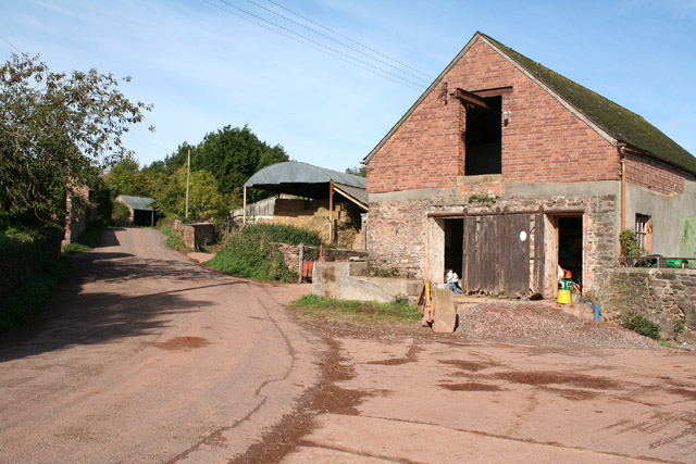
Hill Farm, Stawley

Hill Farm in Stawley, Somerset, England was built in the late 16th century. It is a Grade II* listed building. == History == The farmhouse was built in...

Greenham Hall

Greenham Hall is a country house at Wellington in Somerset. It was once the home of Admiral of the Fleet Sir John Kelly. It is a Grade II listed building...

Greenham Barton

Greenham Barton is a 13th-century manor house in the civil parish of Stawley, Somerset, England (at Greenham, west of Wellington in Somerset). Built in...

St Bartholomew's Church, Bathealton

St Bartholomew's Church is a Church of England parish church in Bathealton, Somerset, England. It was built in 1854 to the designs of C. E. Giles and is...

Nearby Amenities

Located within 500m of 50.989862,-3.3151321
Kittisford
Place: village
Wikidata: Q21061464
Wikipedia: en:Kittisford
Lat/Long: 50.9928869/-3.315842
Entrance: yes
Lat/Long: 50.992953/-3.3148999
The data included in this document is from www.openstreetmap.org. The data is made available under ODbL.

Have you been to Lower Copse?

Leave your review of Lower Copse below (or comments, questions and feedback).