Down Plantation

Wood, Forest in Somerset Somerset West and Taunton

England

Down Plantation

View from NCN344 near Stawley Mill Photograph taken looking north west from the NCN344 just north of Stawley Mill.
View from NCN344 near Stawley Mill Credit: Kevin Pearson

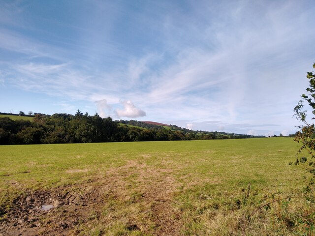
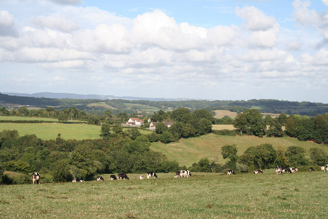
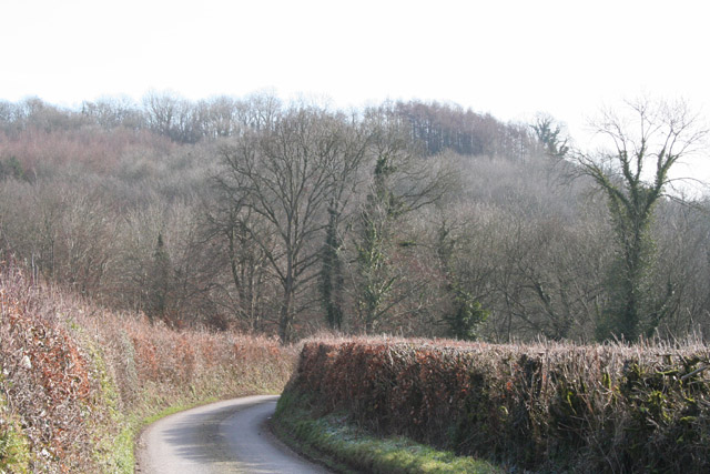
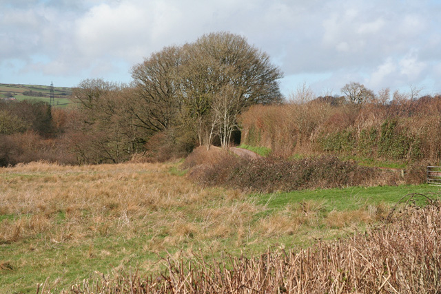
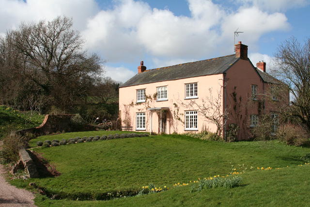
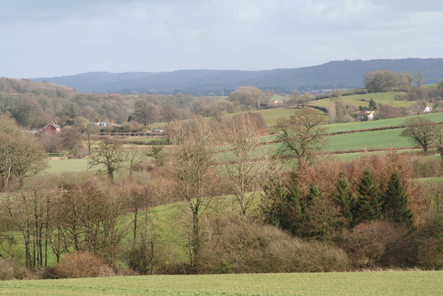
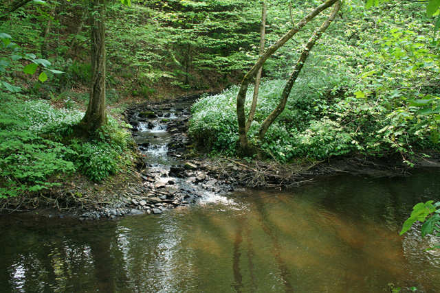
Down Plantation is a picturesque woodland located in Somerset, England. Stretching across a vast area, this plantation is well-known for its dense forests, towering trees, and abundant wildlife. The plantation is situated in the charming village of Down, offering visitors a peaceful and serene escape from the hustle and bustle of everyday life.

The woodland of Down Plantation is dominated by a variety of tree species, including oak, beech, and birch trees. These majestic trees create a dense canopy, providing shade and shelter for an array of flora and fauna. The forest floor is adorned with a carpet of wildflowers, such as bluebells and primroses, adding bursts of color to the landscape.

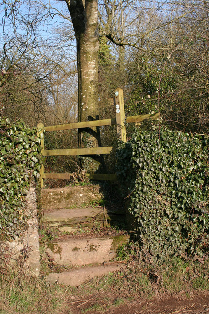
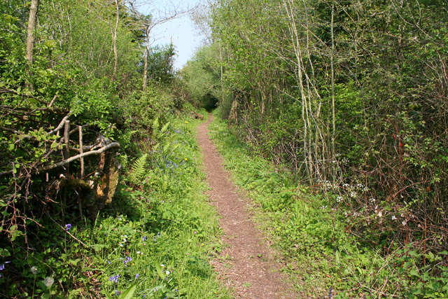
Nature enthusiasts and hikers are drawn to Down Plantation due to its extensive network of well-maintained trails. These trails wind their way through the woodland, allowing visitors to explore the beauty of the plantation at their own pace. Along the way, one may encounter the enchanting sight of squirrels darting through the trees or hear the melodic songs of various bird species.

The plantation is also home to a diverse range of wildlife. Deer can often be spotted grazing in the meadows, while foxes and badgers roam the woodland during the twilight hours. Birdwatchers will be delighted by the presence of woodpeckers, owls, and other feathered creatures that inhabit this natural sanctuary.

Overall, Down Plantation is a captivating destination for nature lovers and adventurers alike. Its peaceful ambiance, abundant biodiversity, and well-maintained trails make it an ideal place to immerse oneself in the beauty of the Somerset countryside.

If you have any feedback on the listing, please let us know in the comments section below.

Down Plantation Images

Images are sourced within 2km of 50.989476/-3.3237842 or Grid Reference ST0721. Thanks to Geograph Open Source API. All images are credited.
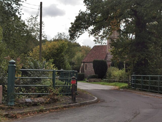
View from NCN344 near Stawley Mill Photograph taken looking north west from the NCN344 just north of Stawley Mill.
View from NCN344 near Stawley Mill
Photograph taken looking north west from the NCN344 just north of Stawley Mill.
Greenham Village Houses in Greenham.
Greenham Village
Houses in Greenham.
Greenham : Bishop's Hill Looking along Bishop's Hill in Greenham.
Greenham : Bishop's Hill
Looking along Bishop's Hill in Greenham.
Holcombe Rogus: east to Bishop's Barton Bishop's Barton is in the parish of Stawley, across the river Tone
Holcombe Rogus: east to Bishop's Barton
Bishop's Barton is in the parish of Stawley, across the river Tone
Stawley: Cothay Manor The manor gardens are open on Wednesdays, Thursdays and Sundays from April through to September. Also on bank holidays. Admission in 2005 – £4: no dogs. The manor house dates from the late 15th century
Stawley: Cothay Manor
The manor gardens are open on Wednesdays, Thursdays and Sundays from April through to September. Also on bank holidays. Admission in 2005 – £4: no dogs. The manor house dates from the late 15th century
Stawley: barns at Kittisford Barton On the lane known as Cockland Hill
Stawley: barns at Kittisford Barton
On the lane known as Cockland Hill
Stawley: near Stawley Mill In the Tone valley. Stawley Mill is now a private house. The bridge in the foreground crosses a small tributary of the Tone. The latter runs to the right of the image, beyond the gate and field
Stawley: near Stawley Mill
In the Tone valley. Stawley Mill is now a private house. The bridge in the foreground crosses a small tributary of the Tone. The latter runs to the right of the image, beyond the gate and field
Stawley: The Globe In the hamlet of Appley, this public house has a good reputation for food. Looking north
Stawley: The Globe
In the hamlet of Appley, this public house has a good reputation for food. Looking north
Stawley: St Michael’s Church Robin Bush, who wrote ‘Somerset, The Complete Guide’ [The Dovecote Press, 1994], regards Stawley church as one of his favourites. It stands somewhat remote above the valley of the river Tone. Looking north
Stawley: St Michael’s Church
Robin Bush, who wrote ‘Somerset, The Complete Guide’ [The Dovecote Press, 1994], regards Stawley church as one of his favourites. It stands somewhat remote above the valley of the river Tone. Looking north
Ashbrittle: towards the Tone valley Looking east on the lane from Waldron’s Cross, on a bright February day
Ashbrittle: towards the Tone valley
Looking east on the lane from Waldron’s Cross, on a bright February day
Stawley: footpath at Greenham The old towpath of the Grand Western Canal – not restored on this section – has now become a public footpath. Here it heads north east towards Cothay Manor
Stawley: footpath at Greenham
The old towpath of the Grand Western Canal – not restored on this section – has now become a public footpath. Here it heads north east towards Cothay Manor
Stawley: by Lutley Bridge On the left of this shot is a long ford: it leads to Poleshill, and brings water from Bathealton. In the centre a footbridge also leads to Poleshill and to the right is a post box built into the parapet of Lutley Bridge. The Tone, on the right, having run north from Greenham, swings sharply here to run south east towards Wellisford and Harpford Bridge. Looking east
Stawley: by Lutley Bridge
On the left of this shot is a long ford: it leads to Poleshill, and brings water from Bathealton. In the centre a footbridge also leads to Poleshill and to the right is a post box built into the parapet of Lutley Bridge. The Tone, on the right, having run north from Greenham, swings sharply here to run south east towards Wellisford and Harpford Bridge. Looking east
Stawley: Tone valley near Kittisford Mill North of Cothay Manor: the Tone flows north towards Lutley Bridge where it turns sharply to the south east
Stawley: Tone valley near Kittisford Mill
North of Cothay Manor: the Tone flows north towards Lutley Bridge where it turns sharply to the south east
Stawley: house at Kittisford Mill This was in all probability the mill proprietor’s house at one time. Looking north west. Only a remnant of the mill remains, out of shot, to the left. It was powered by a leat from a weir on the river Tone
Stawley: house at Kittisford Mill
This was in all probability the mill proprietor’s house at one time. Looking north west. Only a remnant of the mill remains, out of shot, to the left. It was powered by a leat from a weir on the river Tone
Stawley: the Tone valley near Kittisford Looking south east from a point above Kittisford Mill. Beyond the first field the Tone flows north - to the left - before running south east for Wellisford. The roofs and chimneys of buildings at Wellisford – the further one is Wellisford Manor – can be seen on the left. In the distance stand the Blackdowns
Stawley: the Tone valley near Kittisford
Looking south east from a point above Kittisford Mill. Beyond the first field the Tone flows north - to the left - before running south east for Wellisford. The roofs and chimneys of buildings at Wellisford – the further one is Wellisford Manor – can be seen on the left. In the distance stand the Blackdowns
Bathealton: Lower Poleshill House at the junction of Watery Lane and Carrier’s Lane. Looking west-south-west
Bathealton: Lower Poleshill
House at the junction of Watery Lane and Carrier’s Lane. Looking west-south-west
Stawley: path at Greenham By the bed of the Grand Western Canal in which the saplings on the right grow. Looking north east
Stawley: path at Greenham
By the bed of the Grand Western Canal in which the saplings on the right grow. Looking north east
Holcombe Rogus: the Tone at Tracebridge Confluence of the river Tone with its tributary the Morecombe Lake just downstream from the bridge, with wild garlic in flower. Three parishes meet here: Holcombe Rogus, Ashbrittle and Stawley. Looking west-south-west
Holcombe Rogus: the Tone at Tracebridge
Confluence of the river Tone with its tributary the Morecombe Lake just downstream from the bridge, with wild garlic in flower. Three parishes meet here: Holcombe Rogus, Ashbrittle and Stawley. Looking west-south-west
Show me another place!

Down Plantation is located at Grid Ref: ST0721 (Lat: 50.989476, Lng: -3.3237842)

Administrative County: Somerset

District: Somerset West and Taunton

Police Authority: Avon and Somerset

What 3 Words

///forum.sleepless.candy. Near Wiveliscombe, Somerset

Related Wikis

Kittisford

Kittisford is a village and former civil parish and manor, now in the parish of Stawley in the Somerset district, in the ceremonial county of Somerset...

Church of St Nicholas, Kittisford

The Anglican Church of St Nicholas in Kittisford, Somerset, England was built around 1500. It is a Grade II* listed building. == History == The church...

Stawley

Stawley is a village and civil parish in Somerset, England, situated 10 miles (16.1 km) west of Taunton. The parish has a population of 279 and includes...
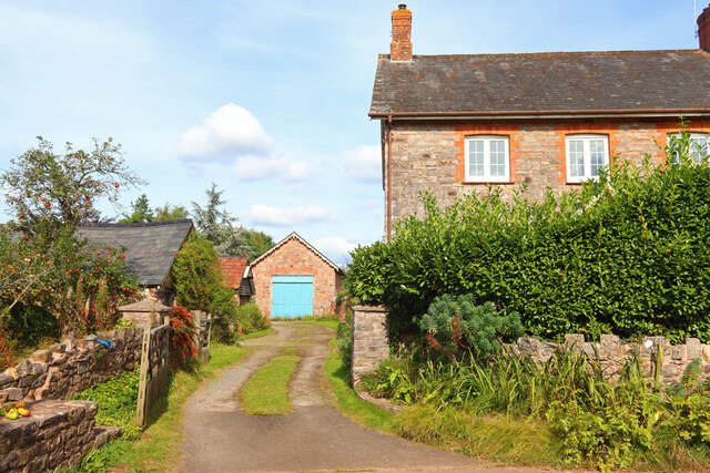
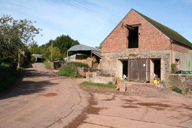
Hill Farm, Stawley

Hill Farm in Stawley, Somerset, England was built in the late 16th century. It is a Grade II* listed building. == History == The farmhouse was built in...
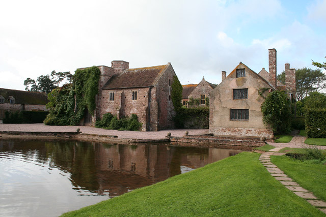
Cothay Manor

Cothay Manor is a grade one listed medieval house and gardens, in Stawley, near Wellington, Somerset. The manor grounds consist of almost 40 acres and...

Greenham Hall

Greenham Hall is a country house at Wellington in Somerset. It was once the home of Admiral of the Fleet Sir John Kelly. It is a Grade II listed building...

Ashbrittle

Ashbrittle is a village and civil parish in Somerset, England, situated nine miles west of Taunton and close to the River Tone and the route of the Grand...

Church of St John the Baptist, Ashbrittle

The Church of St John the Baptist is a Church of England parish church in Ashbrittle, Somerset. It was built in the 15th century, and is a Grade II* listed...

Nearby Amenities

Located within 500m of 50.989476,-3.3237842
Appley
Is In: Somerset, England, UK
Place: hamlet
Lat/Long: 50.9851111/-3.3244669
The data included in this document is from www.openstreetmap.org. The data is made available under ODbL.

Have you been to Down Plantation?

Leave your review of Down Plantation below (or comments, questions and feedback).