Castle Copse

Wood, Forest in Devon East Devon

England

Castle Copse

Sewage works by footpath, Fkuxton
Sewage works by footpath, Fkuxton Credit: David Smith

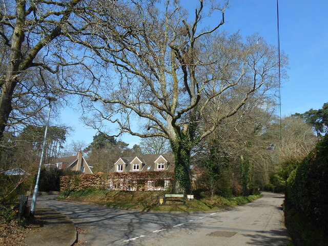
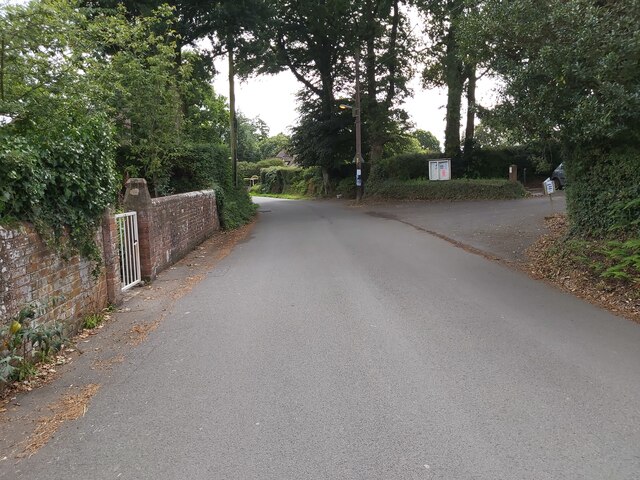
Castle Copse is a picturesque woodland located in the county of Devon, England. Situated in close proximity to the town of Newton Abbot, this enchanting forest covers an area of approximately 30 acres and is a popular destination for nature lovers and outdoor enthusiasts.

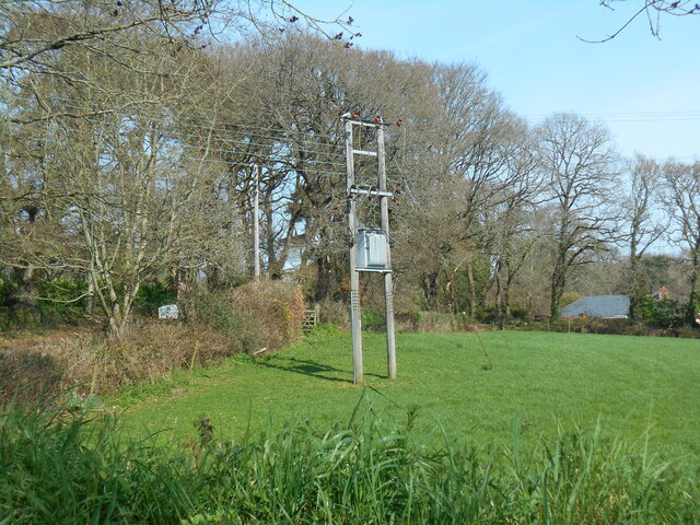
The copse is known for its diverse range of tree species, including oak, beech, ash, and birch, which create a rich and vibrant canopy. The forest floor is adorned with an abundance of ferns, wildflowers, and moss, adding to the natural beauty of the area. The dense vegetation provides a habitat for a variety of wildlife, including squirrels, deer, and numerous species of birds.

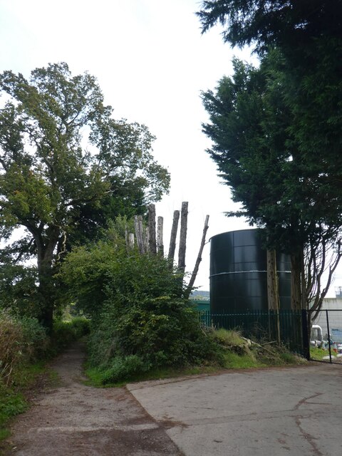
Traversing through Castle Copse, visitors can follow a network of well-maintained walking trails, which wind their way through the woodland. These paths offer a chance to immerse oneself in the peaceful ambiance of the forest, while also providing opportunities for birdwatching and photography.

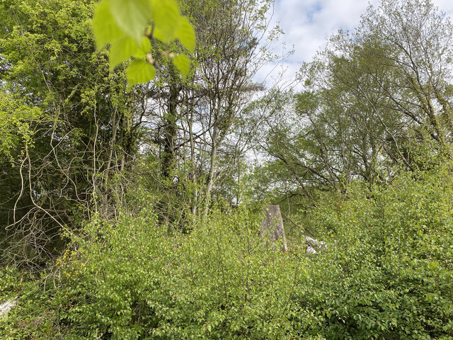
One of the highlights of the copse is the ruins of an ancient castle, which dates back to the medieval period. The castle, although in a state of disrepair, adds a touch of history and intrigue to the woodland. Its crumbling walls and overgrown archways serve as a reminder of the area's rich past.

Castle Copse welcomes visitors throughout the year and offers picnic areas and benches for those who wish to take a break and soak in the natural surroundings. With its tranquil atmosphere and beautiful scenery, Castle Copse is a hidden gem in the heart of Devon, providing a peaceful retreat for all who venture into its leafy depths.

If you have any feedback on the listing, please let us know in the comments section below.

Castle Copse Images

Images are sourced within 2km of 50.740096/-3.3108001 or Grid Reference SY0794. Thanks to Geograph Open Source API. All images are credited.

Sewage works by footpath, Fkuxton
Wallbox in Fluxton This is a little unusual, in that the wallbox is located overlooking a grassed area, not a road or pavement
Wallbox in Fluxton
This is a little unusual, in that the wallbox is located overlooking a grassed area, not a road or pavement
Bridge over the River Otter The Millennium Bridge over the River Otter in Devon viewed from the east bank just south of Ottery St Mary in Devon.
Bridge over the River Otter
The Millennium Bridge over the River Otter in Devon viewed from the east bank just south of Ottery St Mary in Devon.
Riverside Walk The public footpath along the river bank of the River Otter in Devon near Fluxton, pointing towards Ottery St Mary.
Riverside Walk
The public footpath along the river bank of the River Otter in Devon near Fluxton, pointing towards Ottery St Mary.
Beacon at Ottery St Mary The Beacon at Ottery St Mary in Devon situated on the west side of the River Otter next to St Saviour's Bridge and the B3174.
Beacon at Ottery St Mary
The Beacon at Ottery St Mary in Devon situated on the west side of the River Otter next to St Saviour's Bridge and the B3174.
Rockbeare Hill New Trig Point Flush Bracket S5507
Vintage Trading Centre A view from the car park of the Vintage Trading Centre situated on the Finnimore Industrial Estate in Ottery St Mary in Devon.
Vintage Trading Centre
A view from the car park of the Vintage Trading Centre situated on the Finnimore Industrial Estate in Ottery St Mary in Devon.
Industrial Estate A view of Alansway Road on the Finnimore Industrial Estate in Ottery St Mary in Devon.
Industrial Estate
A view of Alansway Road on the Finnimore Industrial Estate in Ottery St Mary in Devon.
Farm Track in between Hedges A public right of way running on a farm track, between two hedges, looking towards Wiggaton in Devon.
Farm Track in between Hedges
A public right of way running on a farm track, between two hedges, looking towards Wiggaton in Devon.
Churchyard view Looking north from the church of St Michael the Archangel.
Churchyard view
Looking north from the church of St Michael the Archangel.
Lichgate to St Michael the Archangel West Hill A mid Victorian church still serving the small community of West Hill.
Lichgate to St Michael the Archangel West Hill
A mid Victorian church still serving the small community of West Hill.
Broardoak Close Complete with an Oak tree on the corner.
Broardoak Close
Complete with an Oak tree on the corner.
Power lines in a field Broad Oak Road, West Hill.
Power lines in a field
Broad Oak Road, West Hill.
Footpath starting from the drive entrance for Salston Barton
Driveway for Salston Barton
St Michael's Church at West Hill A view of St Michael's Church at West Hill in Devon as seen from the churchyard.
St Michael's Church at West Hill
A view of St Michael's Church at West Hill in Devon as seen from the churchyard.
Road in West Hill A view looking west, up the incline of Bendarroch Road in West Hill. Devon.
Road in West Hill
A view looking west, up the incline of Bendarroch Road in West Hill. Devon.
School Lane in West Hill Looking along School Lane in West Hill, Devon. The entrance on the right is into the British Legion Club car park.
School Lane in West Hill
Looking along School Lane in West Hill, Devon. The entrance on the right is into the British Legion Club car park.
Show me another place!

Castle Copse is located at Grid Ref: SY0794 (Lat: 50.740096, Lng: -3.3108001)

Administrative County: Devon

District: East Devon

Police Authority: Devon and Cornwall

What 3 Words

///choirs.unwind.doses. Near Ottery St Mary, Devon

Related Wikis

Belbury Castle

Belbury Castle is the name given to an Iron Age earthwork, probably a hill fort or livestock enclosure, close to Ottery St Mary in Devon, England. The...

West Hill, Devon

West Hill is a village in the East Devon district of Devon, England. The village lies approximately 2 miles south west of Ottery St Mary, its nearest town...

The King's School, Ottery St Mary

The King's School is a secondary school and sixth form located in Ottery St Mary, Devon, England. It was established as a choir school by the bishop John...

Fluxton

Fluxton is a hamlet situated in the Otter Valley, East Devon. It is made up predominantly of old farmhouses and new barn conversions and has a population...

Nearby Amenities

Located within 500m of 50.740096,-3.3108001
Give Way
Direction: forward
Lat/Long: 50.7403994/-3.3149542
West Hill Garage
Addr City: Ottery St Mary
Addr Postcode: EX11 1TP
Addr Street: West Hill Road
Opening Hours: Mo-Fr 08:30-17:30
Shop: car_repair
Website: https://www.westhill-garage.com/
Lat/Long: 50.7407151/-3.3136094
Post Box
Collection Times: Mo-Fr 09:00; Sa 07:00
Royal Cypher: EIIR
Royal Cypher Wikidata: Q33102113
Lat/Long: 50.7406048/-3.3142376
Belbury Castle
Archaeological Site: fortification
Fortification Type: hill_fort
Heritage: 2
Heritage Operator: Historic England
Historic: archaeological_site
Ref GB Nhle: 1017774
Wikidata: Q4882028
Wikipedia: en:Belbury Castle
Lat/Long: 50.7387571/-3.3111439
Barrier: kissing_gate
Lat/Long: 50.7366555/-3.3095456
Generator Method: photovoltaic
Generator Output Electricity: yes
Generator Source: solar
Generator Type: solar_photovoltaic_panel
Location: roof
Power: generator
Lat/Long: 50.7426651/-3.3127239
Generator Method: photovoltaic
Generator Output Electricity: yes
Generator Source: solar
Generator Type: solar_photovoltaic_panel
Location: roof
Power: generator
Lat/Long: 50.7415228/-3.3152023
Generator Method: photovoltaic
Generator Output Electricity: yes
Generator Source: solar
Generator Type: solar_photovoltaic_panel
Location: roof
Power: generator
Lat/Long: 50.7415143/-3.3153525
Generator Method: photovoltaic
Generator Output Electricity: yes
Generator Source: solar
Generator Type: solar_photovoltaic_panel
Location: roof
Power: generator
Lat/Long: 50.7413989/-3.314065
Generator Method: photovoltaic
Generator Output Electricity: yes
Generator Source: solar
Generator Type: solar_photovoltaic_panel
Location: roof
Power: generator
Lat/Long: 50.7376742/-3.3126824
Generator Method: photovoltaic
Generator Output Electricity: yes
Generator Source: solar
Generator Type: solar_photovoltaic_panel
Location: roof
Power: generator
Lat/Long: 50.7376437/-3.3126099
Generator Method: photovoltaic
Generator Output Electricity: yes
Generator Source: solar
Generator Type: solar_photovoltaic_panel
Location: roof
Power: generator
Lat/Long: 50.7368657/-3.3133127
Generator Method: photovoltaic
Generator Output Electricity: yes
Generator Source: solar
Generator Type: solar_photovoltaic_panel
Location: roof
Power: generator
Lat/Long: 50.739013/-3.3160056
Generator Method: photovoltaic
Generator Output Electricity: yes
Generator Source: solar
Generator Type: solar_photovoltaic_panel
Location: roof
Power: generator
Lat/Long: 50.7389961/-3.3159144
Generator Method: photovoltaic
Generator Output Electricity: yes
Generator Source: solar
Generator Type: solar_photovoltaic_panel
Location: roof
Power: generator
Lat/Long: 50.7380042/-3.3167553
Generator Method: photovoltaic
Generator Output Electricity: yes
Generator Source: solar
Generator Type: solar_photovoltaic_panel
Location: roof
Power: generator
Lat/Long: 50.7439379/-3.3138366
Generator Method: photovoltaic
Generator Output Electricity: yes
Generator Source: solar
Generator Type: solar_photovoltaic_panel
Location: roof
Power: generator
Lat/Long: 50.7382341/-3.3167928
Generator Method: photovoltaic
Generator Output Electricity: yes
Generator Source: solar
Generator Type: solar_photovoltaic_panel
Location: roof
Power: generator
Lat/Long: 50.7373828/-3.3147289
Generator Method: photovoltaic
Generator Output Electricity: yes
Generator Source: solar
Generator Type: solar_photovoltaic_panel
Location: roof
Power: generator
Lat/Long: 50.7389127/-3.3150092
Generator Method: photovoltaic
Generator Output Electricity: yes
Generator Source: solar
Generator Type: solar_photovoltaic_panel
Location: roof
Power: generator
Lat/Long: 50.7407692/-3.3173172
Generator Method: photovoltaic
Generator Output Electricity: yes
Generator Source: solar
Generator Type: solar_photovoltaic_panel
Location: roof
Power: generator
Lat/Long: 50.742593/-3.3092337
The data included in this document is from www.openstreetmap.org. The data is made available under ODbL.

Have you been to Castle Copse?

Leave your review of Castle Copse below (or comments, questions and feedback).