Flatts Cop
Wood, Forest in Cumberland Copeland
England
Flatts Cop
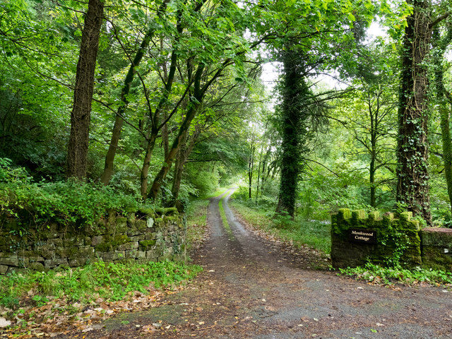
Flatts Cop, Cumberland (Wood, Forest) is a dense woodland area located in the county of Cumberland, England. Spanning approximately 200 acres, this natural reserve is a haven for wildlife and offers a tranquil retreat for nature enthusiasts.
The copse is predominantly made up of tall, mature trees, including oak, ash, and beech, which provide a diverse range of habitats for various plant and animal species. The forest floor is carpeted with a thick layer of leaf litter, creating a rich ecosystem that supports a wide variety of flora and fauna.
The woodland is crisscrossed by a network of well-maintained footpaths, allowing visitors to explore its beauty and observe its inhabitants. These paths wind through a mixture of open clearings and dense thickets, offering a unique blend of sunlit spaces and shaded retreats.
Flatts Cop is home to a plethora of wildlife, including mammals such as deer, foxes, and badgers. Birdwatchers will delight in the chance to spot various species, including woodpeckers, jays, and owls, which make their homes in the tall trees. Additionally, the woodland is abundant in insects, with butterflies, beetles, and bees buzzing around the wildflowers that bloom in the spring and summer.
For those seeking a peaceful escape, Flatts Cop, Cumberland (Wood, Forest) provides a serene environment, far removed from the hustle and bustle of everyday life. Whether it's a leisurely stroll, a picnic, or wildlife spotting, this woodland reserve offers a captivating experience for all who visit.
If you have any feedback on the listing, please let us know in the comments section below.
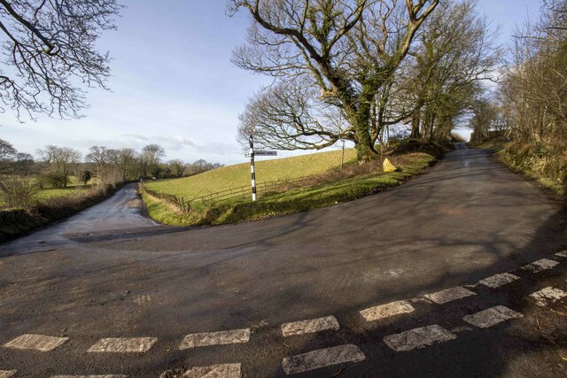
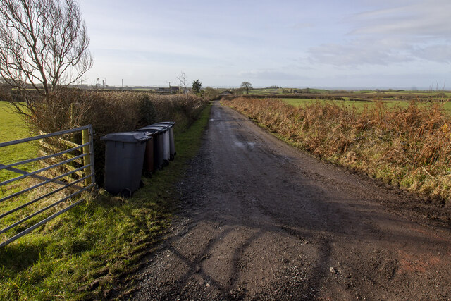
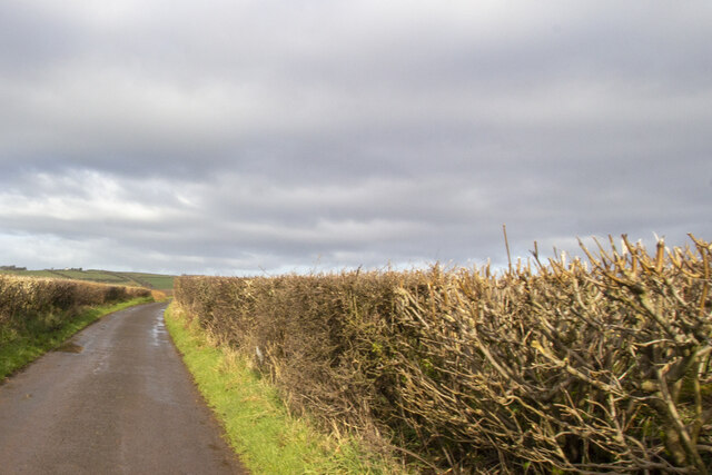
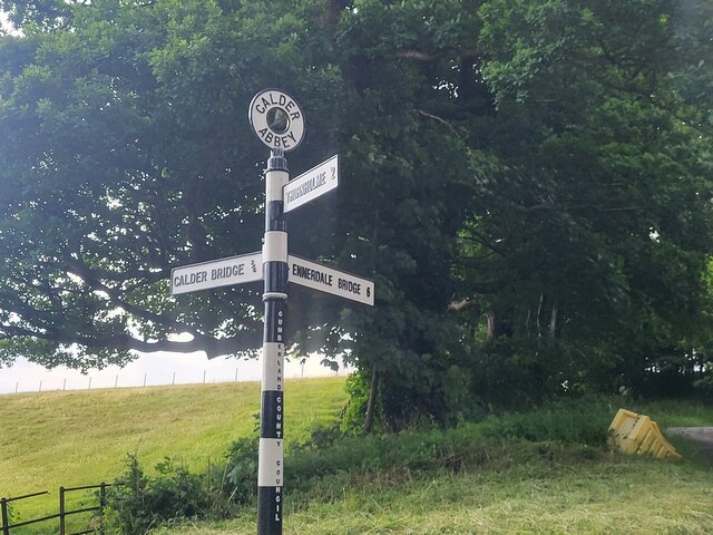
Flatts Cop Images
Images are sourced within 2km of 54.454089/-3.4638958 or Grid Reference NY0507. Thanks to Geograph Open Source API. All images are credited.


Flatts Cop is located at Grid Ref: NY0507 (Lat: 54.454089, Lng: -3.4638958)
Administrative County: Cumbria
District: Copeland
Police Authority: Cumbria
What 3 Words
///harmless.cabin.confining. Near Egremont, Cumbria
Nearby Locations
Related Wikis

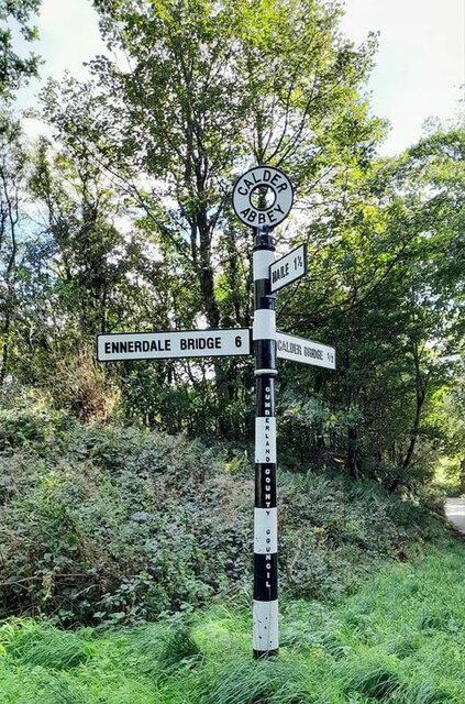
Calder Abbey
Calder Abbey in Cumbria was a Savigniac monastery founded in 1134 by Ranulph de Gernon, 2nd Earl of Chester, and moved to this site following a refoundation...
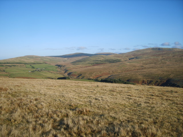
Cold Fell (Calder Bridge)
Cold Fell is a hill in the west of the English Lake District. It is easily climbed from the road between Ennerdale Bridge and Calder Bridge. This road...
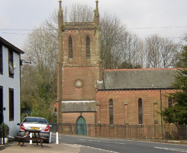
St Bridget's Church, Calder Bridge
St Bridget's Church is on the north side of the A595 road in the village of Calder Bridge, near Beckermet, Cumbria, England. It is an active Anglican parish...

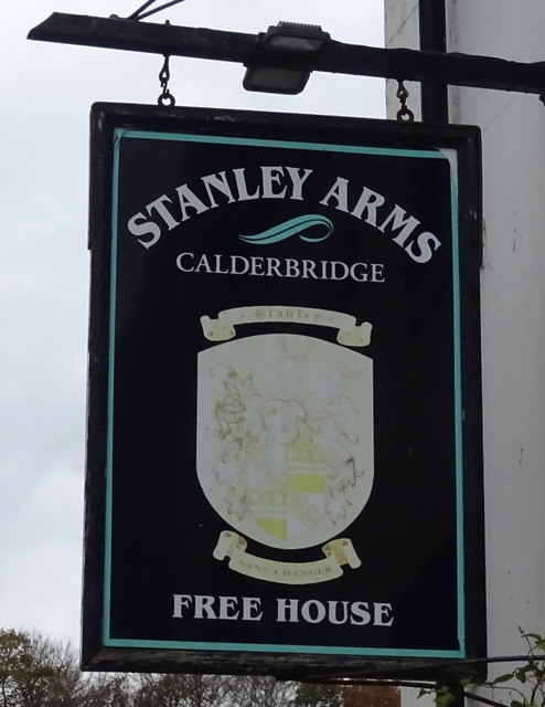
Calder Bridge
Calder Bridge (also Calderbridge) is a small village in Cumbria in England. It is located between the hamlets of Gosforth and Beckermet and lies on the...
Nearby Amenities
Located within 500m of 54.454089,-3.4638958Have you been to Flatts Cop?
Leave your review of Flatts Cop below (or comments, questions and feedback).